


































































































Joshua Tree & nature
Geology Tour Road
Geology Tour Road is a dirt road that runs south from Park Boulevard into Pleasant Valley, with roadside stops that explain how the park's rocks and valleys formed. The full tour is about 18 miles round trip and takes around two hours of driving. Ordinary cars can manage only the first few miles; beyond that the park calls for high clearance and four-wheel drive.
The road
The road turns south off Park Boulevard about two miles west of Jumbo Rocks Campground. From the junction it's 5.4 miles to Paac Kü̱vü̱hü̱'k (the park spells the pronunciation "paach kurv-er-hurk"), a historic cattle tank that the U.S. Board on Geographic Names renamed in 2022 to replace an older name containing a derogatory term. Older maps and guides still use the old name. The park describes this first section as mostly downhill but bumpy and sandy. From Paac Kü̱vü̱hü̱'k, a 6-mile loop explores Pleasant Valley with views of the surrounding mountains, and then you drive back out the way you came.
The speed limit is 25 mph. Along the way there are scenic pullouts, a few hiking trails and some climbing access routes. The park says the road is not suitable for campers, trailers or motor homes. Overnight camping on the road is not allowed, and backcountry camping requires a permit.
Which vehicles can go how far
In good weather, the park says, most passenger vehicles can drive the first few miles. A sign marks the point beyond which four-wheel drive is recommended, and the park says high clearance is necessary beyond Paac Kü̱vü̱hü̱'k. Its backcountry roads page lists the whole road as high clearance and four-wheel drive. An older printed park guide from 2012 said two-wheel-drive sedans could reach the tank at stop 9. Follow the current guidance: in a regular car, turn around at the sign. If you're in a rental, check whether your agreement allows unpaved roads.
The park's general backcountry rules apply. Stay on designated roads, since ATVs, UTVs, other off-highway vehicles and dirt bikes are prohibited. Carry a fully inflated spare tire and the gear to get yourself unstuck. In remote areas, the park suggests traveling with at least two four-wheel-drive vehicles, and cell reception is very limited.
At the south end of the tour, Berdoo Canyon Road continues 11.5 miles down to Dillon Road. The park describes deep sand, sharp bedrock, rough boulders and narrow "pinches" that may stop full-size trucks, and says not to attempt it without a high-clearance four-wheel-drive vehicle and emergency supplies. It is a separate, much harder drive from the geology tour.
The stops
The park offers a self-guided tour of the road in the NPS app. Its printed guide from 2012 numbered 16 stops; the current version may differ, but these are some of the highlights it describes.
- A raindrop divides. A low knoll marks the park's north-south drainage divide. Water runs northwest toward Quail Springs Wash or southeast through Fried Liver Wash into the Pinto Basin.
- Old erosional level. Many boulders carry a groove about seven feet above today's ground, marking where the soil sat during a wetter climate.
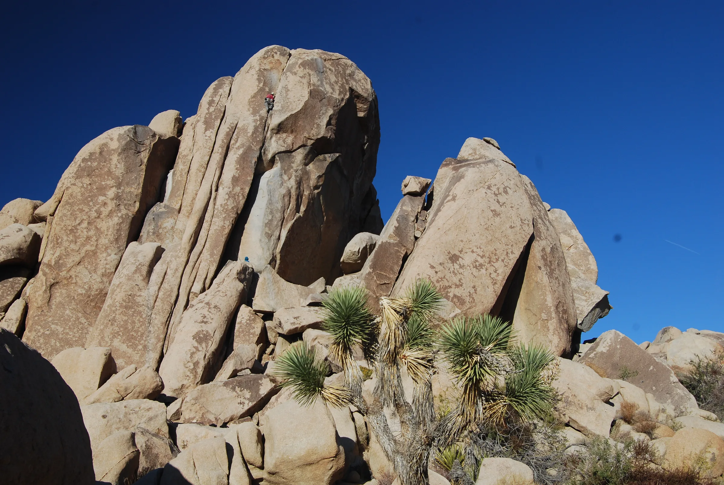
- Rock piles and rock sculpture. The granite-type rock here, monzogranite, cooled from magma about 15 miles underground. It cracked into blocks along joints, and water rounded the corners over time, which is how the piles of round boulders formed.
- Malapai Hill. Its twin peaks of dark basalt rise about 400 feet above the valley floor, three-quarters of a mile west of the stop. The guide says its true age is unknown and it may have formed within the last two or three million years.
- The tank. Light bands called dikes cut across the boulders, and pits in the rock come from slow weathering. About 100 feet southeast, in the wash, is a concrete dam that cattlemen built in the early 1900s to catch runoff for their herds.
- Pleasant Valley. The Blue Cut fault, about 50 miles long, dropped this valley and lifted the Hexie Mountains beside it. Dark coatings on some rocks built up over thousands of years.
- Mines, dry lake and Pinto gneiss. Later stops point out slopes dotted with old mine tunnels and shafts, a dry lake bed, and banded Pinto gneiss, which the guide dates to about 1.7 billion years and calls probably the oldest rock in the park.
Rain, flash floods and closures
The park warns that its dirt roads can be damaged by rainstorms, and after significant rain it is common for roads to close temporarily. The printed tour guide notes that intense summer rainstorms can send flash floods down desert washes, and it told drivers to stop at the tank in wet weather. The park's flood advice is plain: flash floods often catch people unaware, so do not enter washes when water is running, and keep an eye on National Weather Service alerts. Storms are most likely in mid to late summer, but check the park's alerts and road conditions before any visit.
Planning the drive
From the house it's about 25 minutes to the West Entrance, then roughly 16 miles east on Park Boulevard to the turnoff, so allow about 50 minutes to an hour to reach the start. Budget about two hours on the road itself, plus time at the stops, and the outing becomes a half day.
The park's page for the junction is clear: there's no food, water, gas, cell service or restrooms beyond that point. Fill up in Yucca Valley, carry more water than you think you'll need, and go in the cooler months, since a breakdown in summer heat is serious. Skull Rock and Jumbo Rocks are a couple of miles east of the turnoff, and Lost Horse Mine is roughly 20 minutes to the west. For the bigger picture of how the boulders formed, read the rock formations of Joshua Tree.
Know before you go
- Vehicles. Regular cars only as far as the four-wheel-drive sign. High clearance and four-wheel drive beyond it. No RVs, trailers or campers.
- Dogs. Leashed dogs may ride along and walk on unpaved roads open to vehicles and within 100 feet of roads, on a leash six feet or shorter. They are not allowed on hiking trails off the road. See visiting Joshua Tree with a dog.
- Mines. The park's rule near old mines is "stay out and stay alive."
- Leave it as you find it. Wildlife, plants, rocks and artifacts stay undisturbed. Our post on desert safety and Leave No Trace covers the rest.
- Entrance fee. A private vehicle pass was $30 for seven days when we checked. Confirm with the park.
- Closures. Check the park's alerts for road status, especially after rain.
Dusty and done, you can be back at the house in about an hour for the hot tub and the gas fire pit. Check dates to plan your stay.
Keep exploring
The Best Hikes in Joshua Tree National Park
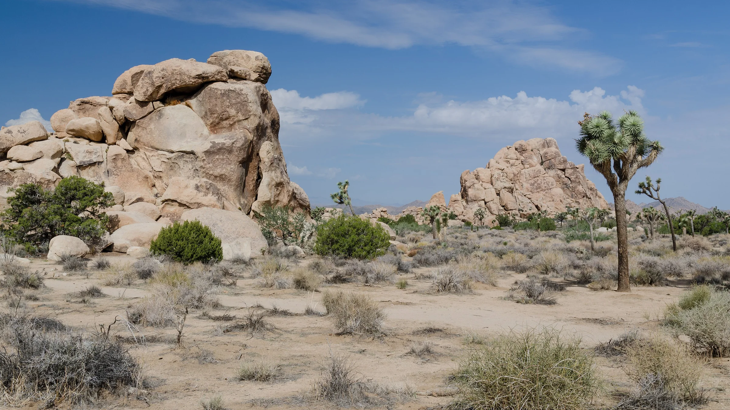
The best hikes in Joshua Tree, shortest to longest — Hidden Valley, Barker Dam, Ryan Mountain, 49 Palms Oasis and Lost Horse Mine, about 25 minutes from the house.
Read →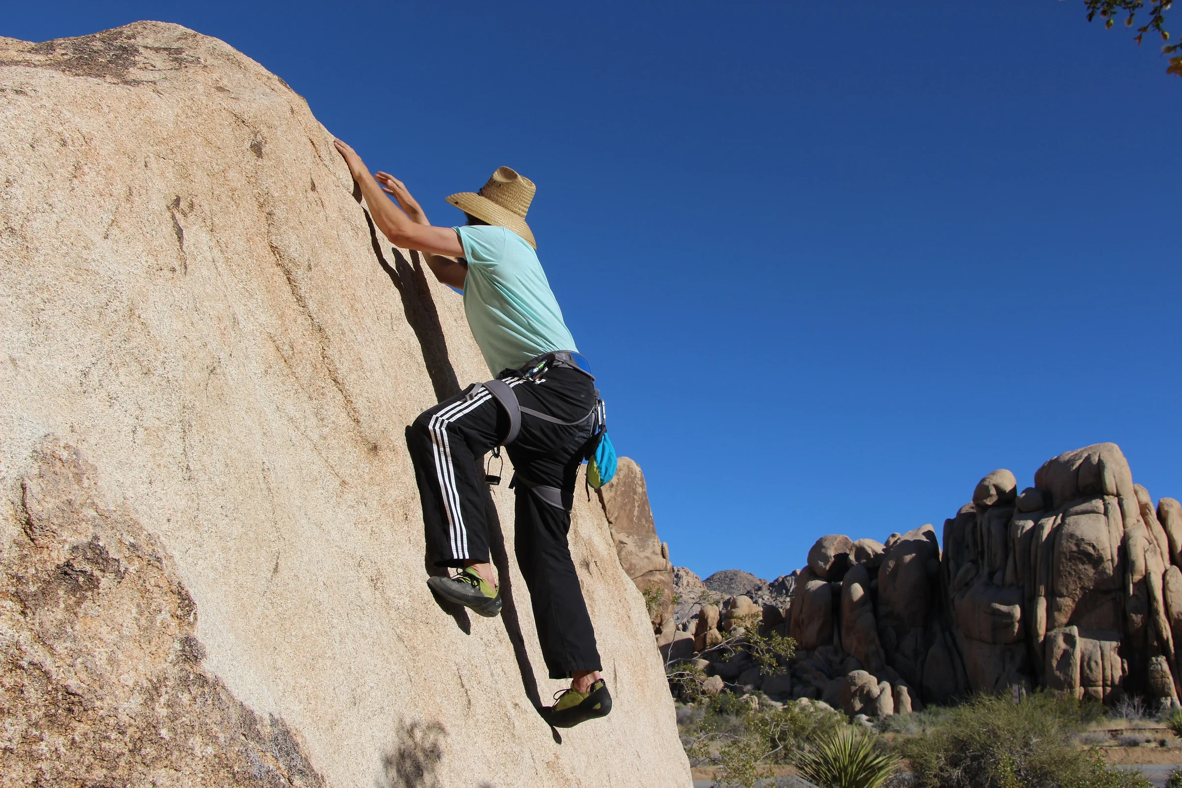
Rock Climbing & Bouldering in Joshua Tree
Joshua Tree is a world-class rock-climbing and bouldering destination. Where to start, when to go, how to climb it responsibly, and how to hire a guide if you're new.
Read →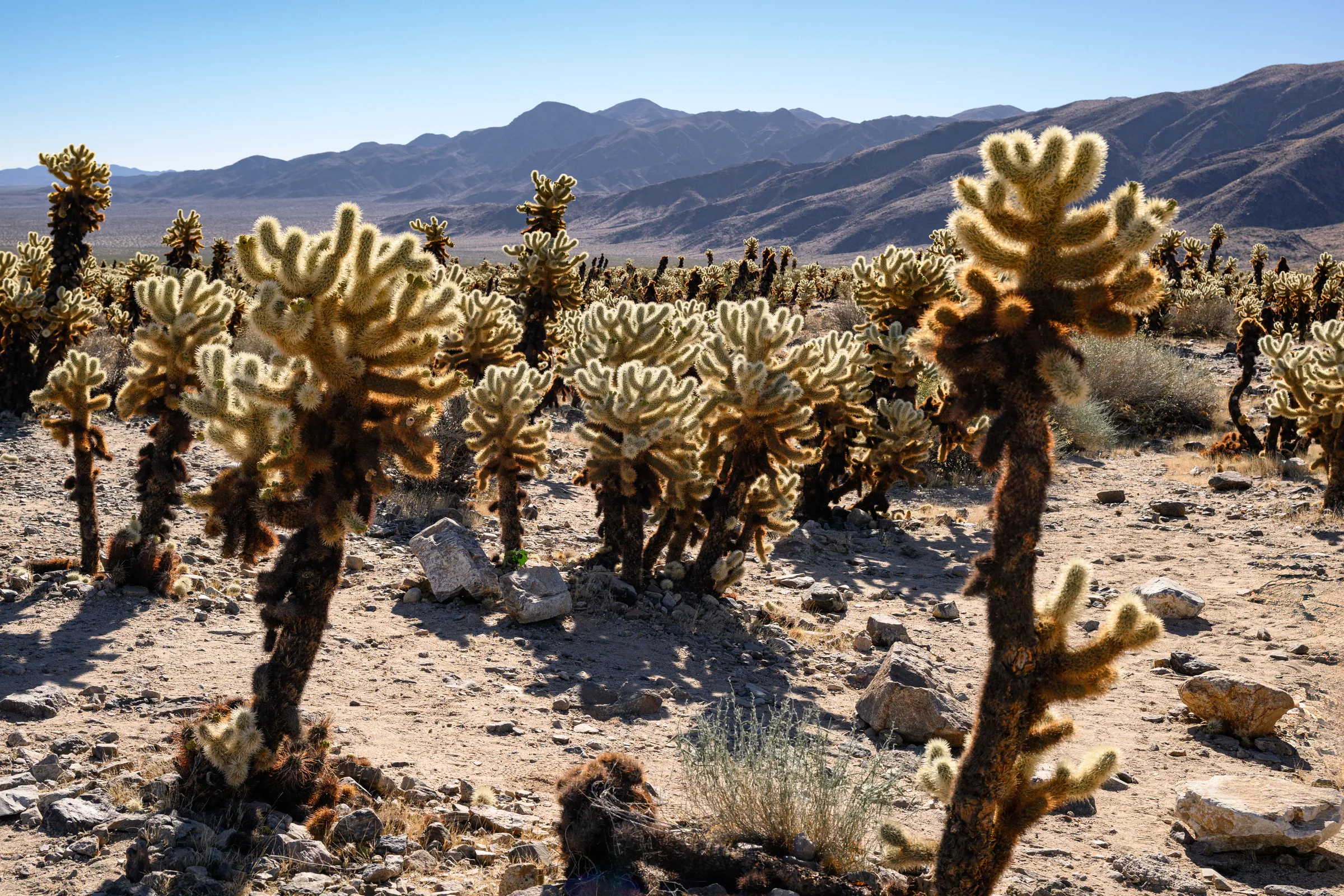
The Cholla Cactus Garden & the Park's Quiet South End
The Cholla Cactus Garden and Joshua Tree's quiet southern end — Cottonwood Spring, Lost Palms Oasis and the ocotillo patch, and how to do the drive from Yucca Valley.
Read →