


































































































Joshua Tree & nature
Ryan Mountain
Ryan Mountain is the short, steep climb in the middle of Joshua Tree National Park: about 3 miles round trip, about 1,050 feet up, and a wide view from the top. The park calls it one of its most popular hikes. It's also one to plan around the heat, because there's very little shade on the way up.
The trail
The park rates Ryan Mountain strenuous: a 3-mile out-and-back with 1,050 feet of elevation gain, all of it gained over the 1.5 miles to the top. The park's time estimates range from 1.5 to 3 hours depending on the page, so plan on the longer end if you like a rest at the summit. The trail is rough dirt and rock with many steps and steep sections, so wear sturdy shoes with good grip; the park also suggests trekking poles for stability. The summit sits at roughly 5,456 feet.
The view from the top
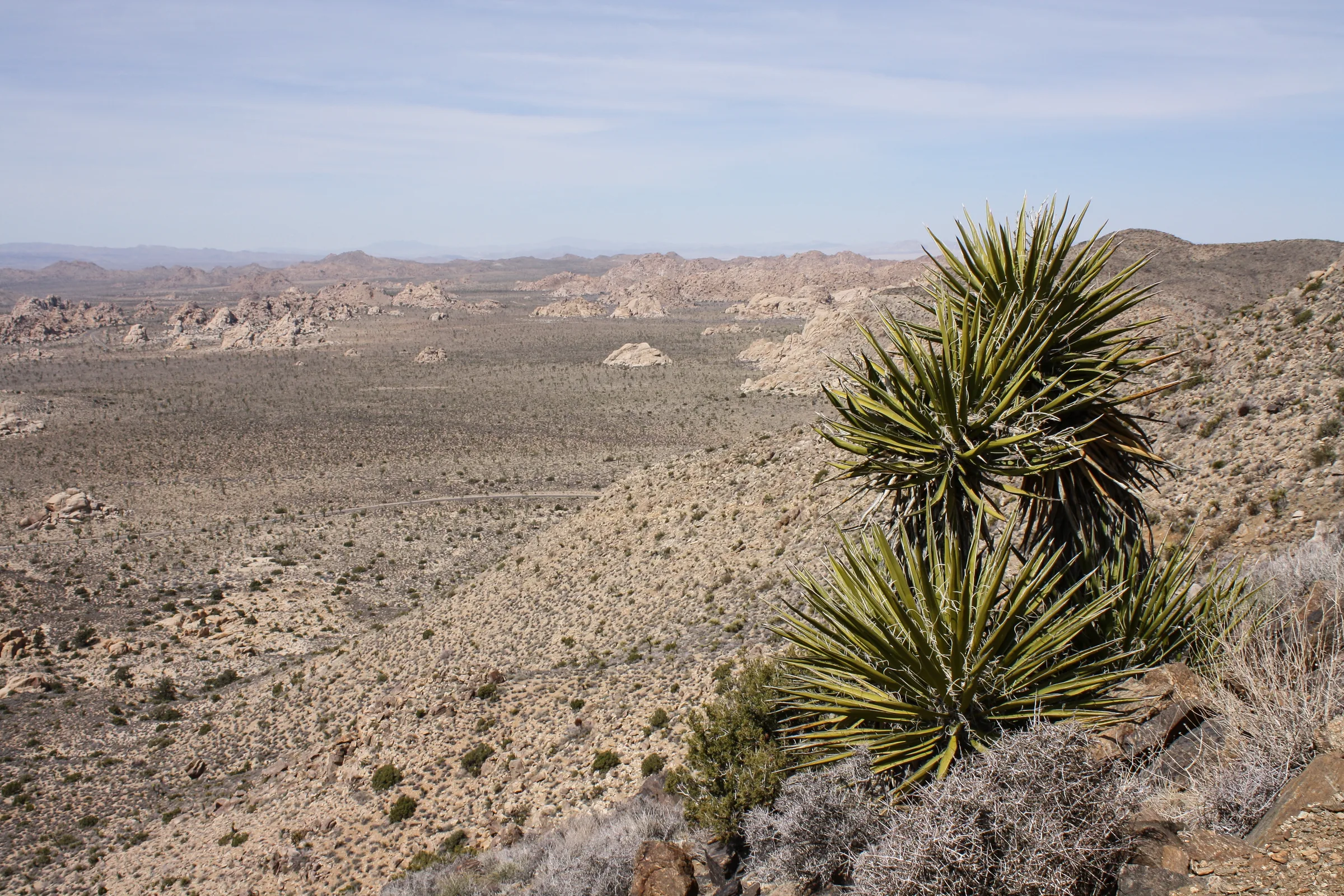
The park describes sweeping panoramic views from the summit. Its list of what you can pick out includes the Wonderland of Rocks (our piece on the rock formations of Joshua Tree explains how those boulder piles formed), the Sheephole Wilderness, Mount San Jacinto, over 10,000 feet, above Palm Springs, and Mount San Gorgonio, the tallest peak in Southern California. On a clear day, the park says, you may see all the way to Mexico. As with every long view here, haze carried in from the Los Angeles basin can shorten it on some days.
Heat and safety
This is the hike to take seriously. The park says it has very little shade and is not recommended in summer or anytime it's very hot. Ryan Mountain is on the park's list of trails not to attempt in the heat, and its summer advice is to skip trails longer than two miles altogether. From April through September, the park recommends starting any activity before 10 am or after 4 pm.
Carry at least a gallon of water per person for the day, which is the park's guideline, and drink when you're thirsty. Summer is also when ozone in the park most often exceeds federal standards, which the park notes is hardest on active adults, children and older visitors. The park lists the warning signs of heat illness, among them headache, nausea, cramps, an unusually pale or flushed face and confusion; if anyone in the group shows them, turn around. Cell service is limited, so tell someone your route and when you expect to be back. In an emergency, the park's numbers are 909-383-5651 or 911.
In the cooler months the problem flips. The park suggests bringing warm layers on cold and windy days.
Parking and timing
The main trailhead is a parking area on Park Boulevard between Sheep Pass and Ryan Campground, with vault toilets. The park asks hikers to arrive early to get a spot on busy days, and notes there's no parking at Sheep Pass for anyone who isn't camping there. Busy season runs roughly September through May, and the park's general advice is to arrive before 8 am.
If you want to sleep close to the trail, Ryan Campground has 31 sites at about 4,000 feet, by reservation, around $30 a night at last check, with pit toilets and no water. Sheep Pass, on the other side, is a group campground. The park says its campgrounds are usually full on weekends from September through May.
Winter, spring and fall are the seasons the park recommends. Early morning is the most comfortable time on the climb. The park also lists Ryan Mountain among its popular sunset spots; if you go up for sunset, carry a headlamp and start down with light to spare, since the trail is rough and steep.
Ryan Ranch
At the base of the mountain is Ryan Ranch, an adobe homestead built in 1896 by J.D. Ryan, who operated the Lost Horse Mine. The mountain is generally said to be named for him. The park describes the remains, including a fallen windmill and old building materials, on a one-mile round-trip walk with about 135 feet of gain, starting from the parking area on Park Boulevard or near site 14 in Ryan Campground. It's a gentle option for anyone in the group who doesn't want the summit. For more of the Ryan story, see our Lost Horse Mine guide.
Dogs
Pets are not allowed on the Ryan Mountain Trail; service animals are welcome on a leash of 6 feet or less. The park keeps pets off every hiking trail except the paved paths at Keys View and the Oasis of Mara, and it warns that hot ground can burn a dog's feet. The Oasis of Mara trail has been closed past the oasis since flood damage in September 2025, so check the park's alerts before counting on it. If the dog is with you, the paved walk at Keys View is the better stop.
A day from the house
The park's distance table puts Ryan Campground, by the trailhead, about 16 miles and 30 minutes from the Joshua Tree Visitor Center in town. With the 25-minute drive from the house to the West Entrance, allow roughly 50 minutes door to trailhead.
A good shape for the day: start up Ryan Mountain early, then drive the short distance to the Keys View turn for the overlook, and be back at the house by early afternoon for the stock-tank pool and hot tub. On an easier day, Hidden Valley and Barker Dam are short loops a few miles back toward the West Entrance. Black Rock Canyon is its own outing, since it doesn't connect by road to this part of the park.
Know before you go
- Distance. About 3 miles round trip, 1,050 feet of gain, rated strenuous.
- Heat. Not recommended in summer or whenever it's hot. Very little shade.
- Water. At least a gallon per person per day; there's none at the trailhead.
- Parking. Arrive early; no hiker parking at Sheep Pass Campground.
- Fees. The park's entrance fee applies, around $30 for a 7-day vehicle pass at last check.
- Check first. Trail and road alerts are posted on the park's website.
Ryan Mountain is a short, hard climb with a big view at the top. Check dates for the cooler months and go early.
Keep exploring
The Best Hikes in Joshua Tree National Park
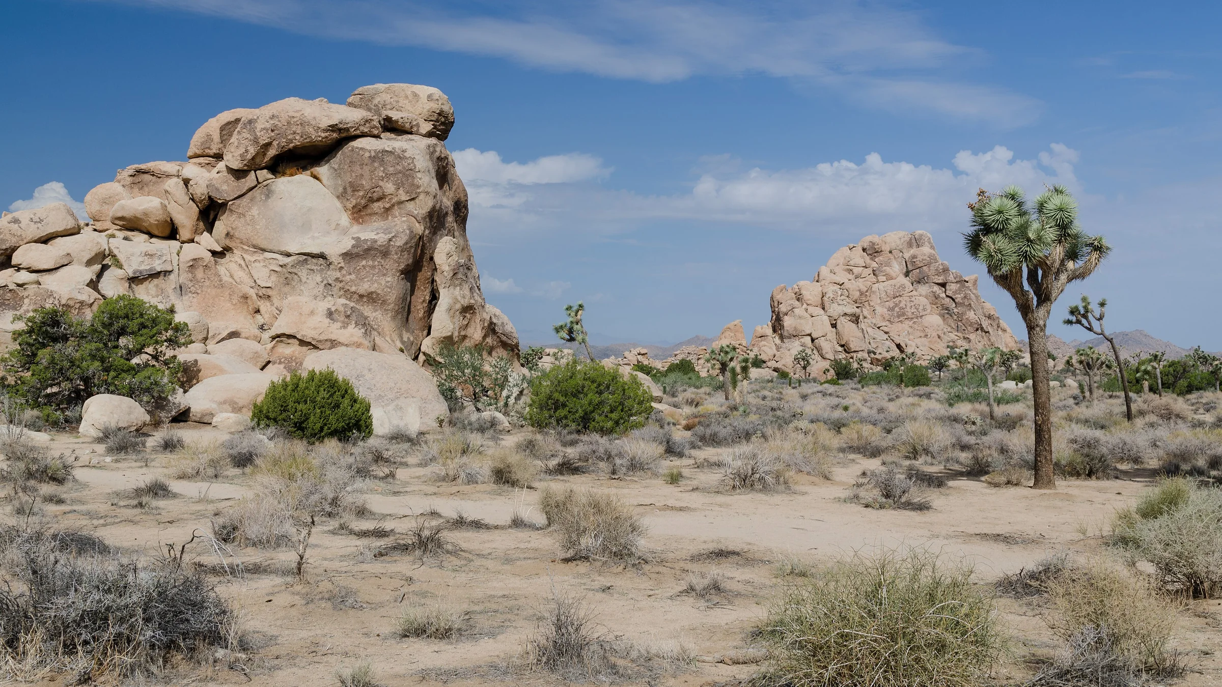
The best hikes in Joshua Tree, shortest to longest — Hidden Valley, Barker Dam, Ryan Mountain, 49 Palms Oasis and Lost Horse Mine, about 25 minutes from the house.
Read →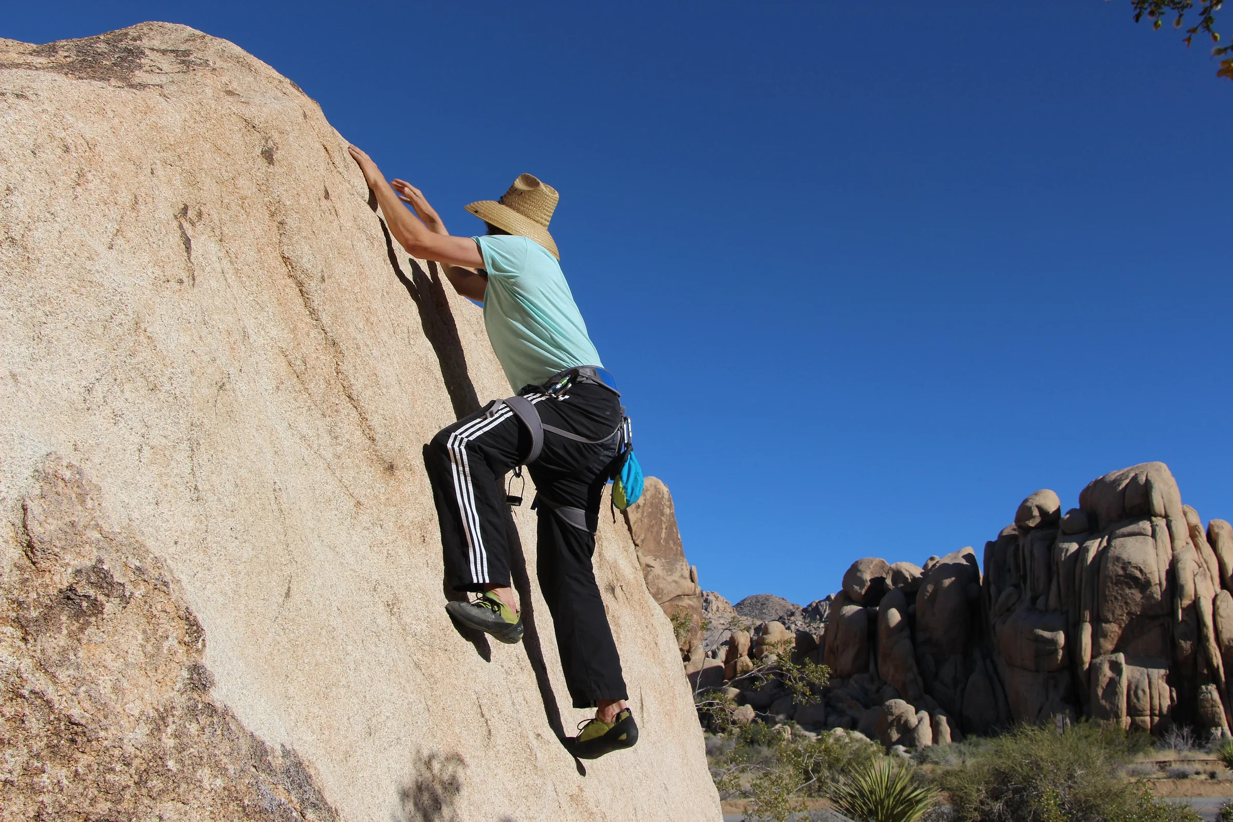
Rock Climbing & Bouldering in Joshua Tree
Joshua Tree is a world-class rock-climbing and bouldering destination. Where to start, when to go, how to climb it responsibly, and how to hire a guide if you're new.
Read →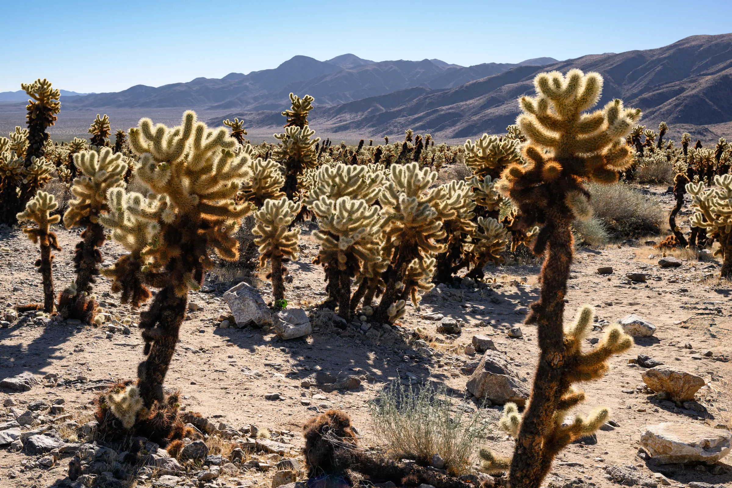
The Cholla Cactus Garden & the Park's Quiet South End
The Cholla Cactus Garden and Joshua Tree's quiet southern end — Cottonwood Spring, Lost Palms Oasis and the ocotillo patch, and how to do the drive from Yucca Valley.
Read →