


































































































Getting here
San Diego to Joshua Tree
The quick way from San Diego to Yucca Valley covers about 137 miles: Interstate 15 north to Temecula, then Highway 79 north through Hemet to Interstate 10 and Highway 62. Stargaze Escape is about 15 minutes farther, north of town on Highway 247. Routing services put the drive to town at roughly two and a half to three hours with clear roads. There is also a slow desert way through Julian, Anza-Borrego and the Salton Sea, about 220 miles and four and a half to five hours of driving, which turns the trip into a day out.
Routes north from San Diego
The inland route is the one to take when you want to arrive. It stays on freeways and fast highways the whole way, passes through towns with plenty of fuel and food, and joins the Los Angeles traffic only for the last stretch of Interstate 10 through the San Gorgonio Pass. The desert route trades time for scenery: a mountain town, California's largest state park, the Salton Sea and the date groves of the Coachella Valley, with long gaps between services. It is best between late fall and early spring, when the low desert is cool enough to enjoy.
By the park service's count, the park lies about 175 miles northeast of San Diego. That figure measures to the park itself; the house in Yucca Valley sits closer, on the west side of the basin.
The inland route by I-15 and Highway 79
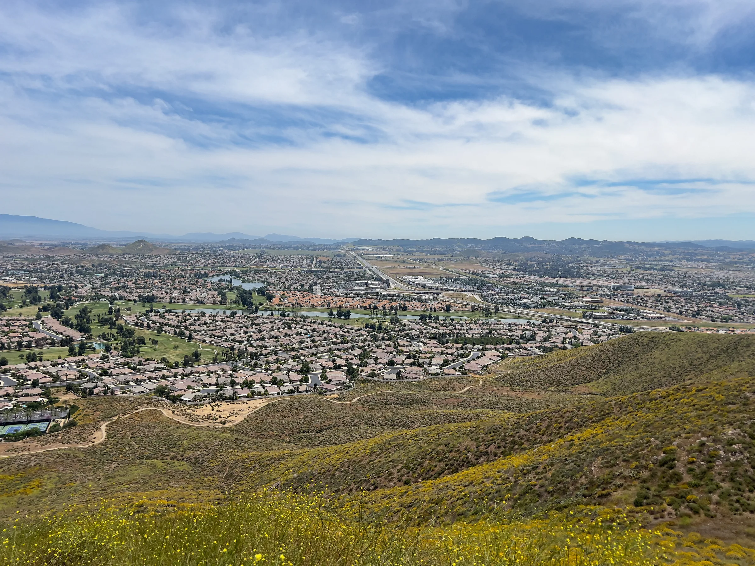
From downtown, take State Route 163 north to Interstate 15 and follow it past Escondido to Temecula, about 58 miles and a little over an hour. In Temecula, leave the freeway at Winchester Road. A mapping service then routes you north on Winchester Road, east on Domenigoni Parkway past Diamond Valley Lake, and north on Sanderson Avenue through Hemet and San Jacinto, where Highway 79 climbs to Interstate 10 at Beaumont. From there it is Interstate 10 east through Banning and Cabazon, then Highway 62 north to Yucca Valley and Highway 247 north to the house. Temecula to Yucca Valley comes to about 79 miles and an hour and a half to three-quarters.
The other choice is to stay on Interstate 15 to Interstate 215, then take the 60 east through Moreno Valley to Beaumont. That is about 157 miles in all and roughly three hours by the same estimate. It can win when Hemet's surface streets are slow, so compare the two in your traffic app before you commit.
Getting past Temecula
For years, the worst part of this drive was northbound Interstate 15 between the county line and the 15 and 215 junction in Murrieta. The City of Temecula has described congestion there backing up into San Diego County, at times more than 20 miles, at rush hour and at popular weekend travel times, caused by drivers weaving between lanes for the junction while traffic merged in from Winchester Road. A second phase of the French Valley Parkway project, finished in spring 2025, added two northbound lanes about 3 miles long, plus a flyover bridge, between Winchester Road and the junction, and the city says that phase addressed the choke point. The inland route here leaves the freeway at Winchester Road, south of the junction, but at the worst times the queue can still reach back that far.
Holidays still slow things down. AAA and INRIX's forecast for the last weeks of 2024 had the San Diego to Palm Springs trip on Interstate 15 taking 3 hours and 7 minutes at its worst, on the evening of Friday, December 20, about 35 percent longer than normal. The auto club's guidance for peak periods is to stay off the road in weekday commute hours and set out bright and early or once the evening commute is over. In April, the Coachella and Stagecoach weekends have loaded up Interstate 10 between Beaumont and Indio in past years, eastbound on the Friday.
Stops on the inland route
Old Town Temecula and the wine country
Temecula's historic downtown, Old Town, has historic buildings, museums, specialty food shops and a 354-seat theater, and it is a short hop from the freeway, which makes it the obvious place for lunch about an hour into the drive. East of town, Temecula Valley Wine Country has nearly 50 wineries and more than 3,500 acres of vineyards. If anyone in the car is tasting, they are not driving the rest of the way.
Western Science Center and Diamond Valley Lake
Diamond Valley Lake, which you pass on Domenigoni Parkway, is a Metropolitan Water District reservoir that holds about 800,000 acre-feet and was filled between 1999 and 2003. Digging it turned up fossils of mastodons, mammoths, dire wolves and ground sloths, close to a million specimens in all. The Western Science Center in Hemet opened in 2006 to house them. Its stars are Max, described as the largest mastodon found in the western United States, and Xena, a Columbian mammoth. It is a good stop with kids. Check the museum's hours and admission before you go. The lake's recreation area has a marina on its east end and hiking trails around it if you want a longer break, though facilities and fees vary, so check first.
The desert way through Anza-Borrego
This version starts east on State Route 67 through Ramona and State Route 78 into the mountains. Julian, about 57 miles and an hour and 20 minutes from downtown, is a gold-rush town at 4,226 feet where gold was found in 1870. Its Main Street is a historic district, and the town is known for apple pie and an Apple Days festival that began in 1949. Julian Pie Company lists two locations, on Main Street in Julian and on Highway 79 in Santa Ysabel, both open daily from 9am to 5pm at the time of writing; check before you drive up.
From Julian, Highway 78 and county roads S2 and S3 drop off the mountains into Borrego Springs, about 31 miles and three-quarters of an hour. The town is completely surrounded by Anza-Borrego Desert State Park, which covers about 650,000 acres and is the largest state park in California. Borrego Springs is also an International Dark Sky Community, and more than 130 large metal animal sculptures by Ricardo Breceda stand in the open desert of Galleta Meadows around town. In a big spring wildflower year the town's population can swell by several times over, so expect company in bloom season. If dark skies are part of why you are coming, our guide to where to stargaze covers the darkest spots near the house.
From Borrego Springs, county road S22 runs east to State Route 86 and the Salton Sea. The north shore is about 62 miles and an hour and a half from Borrego by a routing estimate. Our Salton Sea guide covers the recreation area and the shore. Then the road runs north through Mecca and Coachella to Indio, where Shields Date Garden has been in business since 1924, with a café serving date shakes and a walk through the grounds. From Indio, Interstate 10 west and Highway 62 north cover the last 48 miles to Yucca Valley, about an hour. Altogether this is roughly 220 miles and four and a half to five hours of driving before stops, so start early and save it for a cool day.
Charging and fuel
On the inland route, Temecula is the place to charge. Tesla lists several Supercharger sites there, and the federal charging database also lists fast chargers from other networks. Tesla lists nothing in Hemet or San Jacinto, so the next big cluster is Beaumont, followed by Cabazon. Gas is easy to find all along this route.
The desert route needs more care. Tesla lists no Superchargers in Julian, Borrego Springs or along the Salton Sea, and the next large site is in Indio. Leave San Diego with a full charge or a full tank, fill the tank again in Ramona or Julian, and check your fuel in Borrego Springs before the long, quiet run to the Salton Sea. For chargers once you arrive, see our guide to gas and EV charging near Joshua Tree.
Groceries before the house
Whichever way you come, Yucca Valley is the last proper grocery stop. Its two Stater Bros. stores are on Highway 62, roughly a 15-minute drive from the house, and the national park has no stores of any kind. If you take the desert route and arrive late, the Coachella Valley towns you pass through near the end are a good place to buy what you need before the climb, since small-town hours in the high desert can be short.
The last climb from the interstate
On the inland route you meet Interstate 10 at Beaumont and drive east through the San Gorgonio Pass. Highway 62 leaves the interstate a few miles past the Whitewater exit and climbs north through Morongo Valley to Yucca Valley, roughly 20 miles and half an hour. In town, turn north onto Highway 247 (Old Woman Springs Road) for the last 15 minutes or so to the house.
On the desert route you arrive from the other direction. Heading west from Indio on Interstate 10, you pass the Palm Springs exits and reach the Highway 62 interchange before the Whitewater exit. The climb is the same from there, with Highway 247 north from town to the house. If you would rather break up the day, Palm Springs is right there; our Palm Springs day trip guide has ideas. The Highway 62 guide covers the towns on the way up, and our getting here page has the final directions to the house. Save them to your phone before you set off.
Heading back south
The return to San Diego has its own catch. The French Valley Parkway work that eased northbound Interstate 15 in 2025 was the second phase of the project, and the City of Temecula says phase three is still in final design and that phases three and four, which add connections and address the southbound side, need funding. The southbound side of the 15 and 215 junction in Murrieta has not had the same fix, so it can still back up at busy times. If you came up on Highway 79, going home the same way lets you rejoin Interstate 15 at Winchester Road in Temecula, south of that junction.
Checkout time is on our getting here page. A routing service puts Yucca Valley to Temecula at about 79 miles and an hour and a half to three-quarters, plus the 15 minutes down Highway 247 from the house, so a late-morning start brings you into Temecula around lunchtime. An early lunch in Old Town, or an hour at the Western Science Center, lets the freeway settle before the last hour home. On a holiday weekend, leave room at both ends of the day, and fill up or charge in Yucca Valley before you start.
Before you leave San Diego
- Inland route. About 137 miles to Yucca Valley and roughly two and a half to three hours on clear roads, by Interstate 15, Winchester Road and Highway 79; the house is about 15 minutes farther.
- Desert route. About 220 miles and four and a half to five hours of driving; best from late fall to early spring.
- Timing. Avoid weekday commute hours and Friday evenings; on holidays, leave early.
- Charging. Temecula, Beaumont and Indio have the big fast-charging sites. Julian and Borrego Springs have no Superchargers listed.
- Fuel. On the desert route, fill up in Ramona or Julian and check again in Borrego Springs.
- Hours. Pie shops, museums and date gardens set their own hours; check before you plan a stop around one.
With the route chosen, look at available dates for the house. For heat, water and night driving in the desert, the journal's driving to Joshua Tree post goes further.
Keep exploring
Los Angeles to Joshua Tree
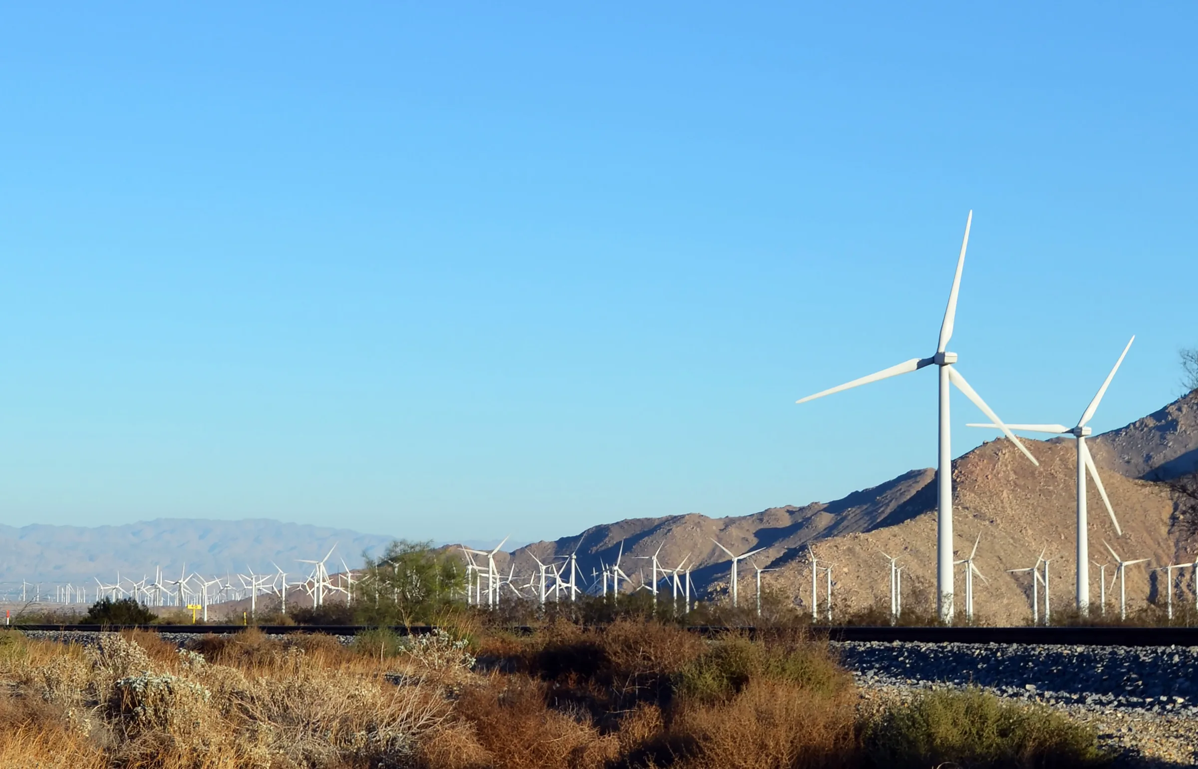
Driving from Los Angeles to Joshua Tree: the I-10 and Highway 62 route, miles and drive time, when to leave, toll lanes, EV charging and stops in Cabazon.
Read →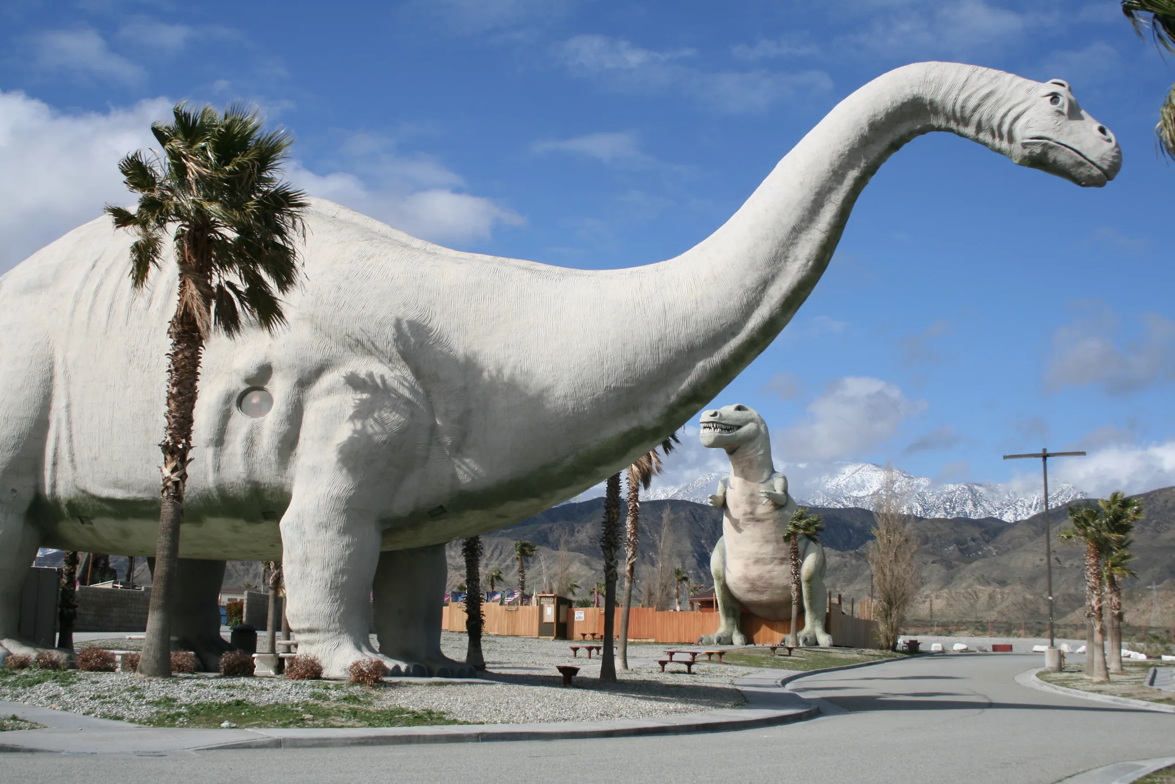
Orange County to Joshua Tree
Driving from Orange County to Joshua Tree: the 91, the 60 and I-10 to Highway 62, miles and drive time, the 91 Express Lanes, charging in Beaumont and stops.
Read →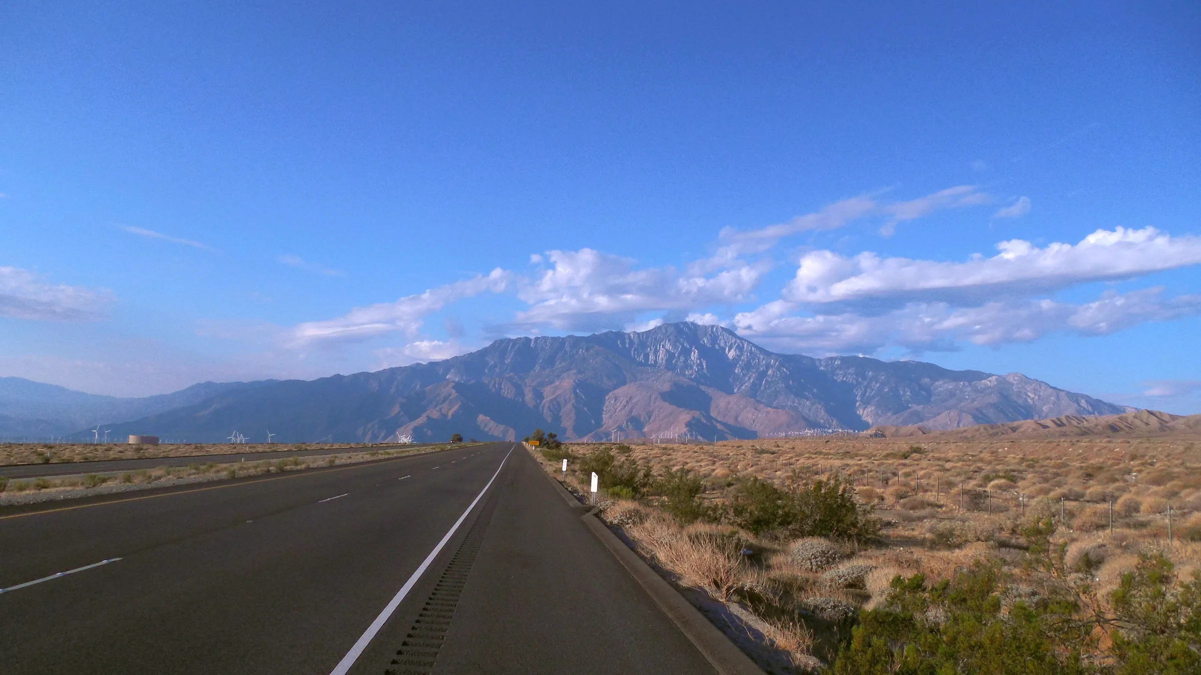
San Francisco to Joshua Tree
Driving from San Francisco to Joshua Tree: I-5, Route 58 over Tehachapi Pass, Barstow and Route 247 to Yucca Valley, with miles, drive time, charging and stops.
Read →