


































































































Getting here
Phoenix to Joshua Tree
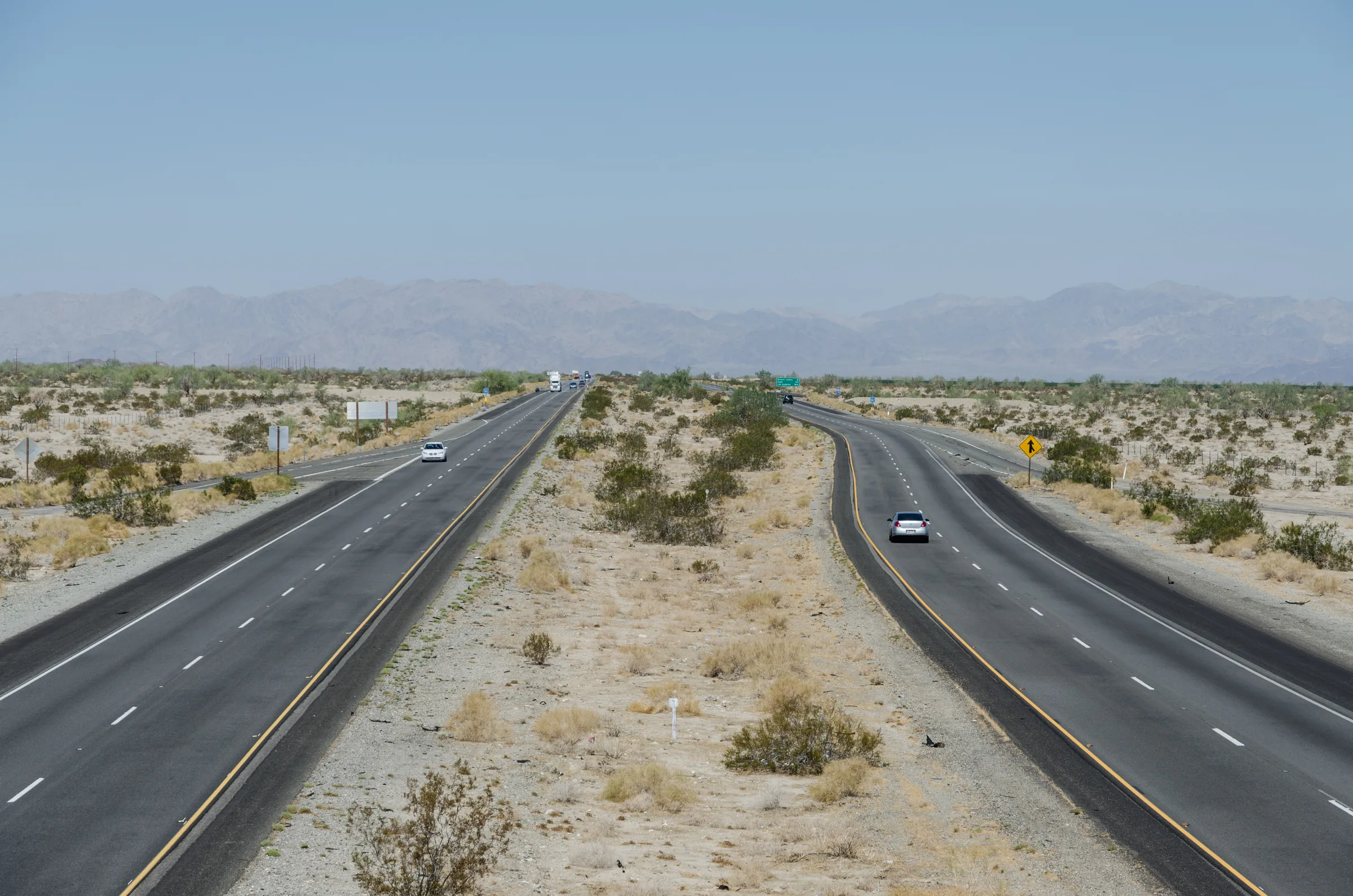
It is about 290 miles from Phoenix to Yucca Valley, almost all of it west on Interstate 10, and Stargaze Escape is about 15 minutes farther, north of town on Highway 247. Route planners put the plain freeway drive at about five hours (an empty-road router says a little over five), so plan on roughly 4 3/4 to 5 1/2 hours of driving with normal traffic. Coming from the east also gives you two choices that the California cities don't have: enter the national park at its south end and cross it on the way to the house, or leave the interstate for the empty desert of Highway 62 by way of Parker.
Routes from Phoenix
- Interstate 10 to Highway 62. West on Interstate 10 past Quartzsite, Blythe and Indio, through the Coachella Valley to the Highway 62 interchange near Whitewater, then north up the hill to Yucca Valley and up Highway 247 to the house. About 290 miles to town and roughly five hours. The fastest and simplest.
- Through the park from Cottonwood. West on Interstate 10 to exit 168, Cottonwood Springs Road, then north through Joshua Tree National Park on Pinto Basin Road and Park Boulevard, out the West Entrance and west on Highway 62 to Yucca Valley. About 300 miles, and much slower inside the park.
- Parker and Highway 62. West on Interstate 10 to Quartzsite, north on Arizona 95 to Parker, then across the Colorado River and west on Highway 62 all the way to Yucca Valley. About 295 miles and roughly five and a half hours or more.
The park service puts the park about 222 miles west of Phoenix, close to the routing distance to the South Entrance turnoff, which is why the Cottonwood option is appealing: the park starts well before you reach the house.
Clocks, heat and when to leave
Most of Arizona (the Navajo Nation is the exception) stays on Mountain Standard Time all year and does not use daylight saving time. From roughly March to early November, when California is on daylight time, Phoenix and California show the same clock time. Through the winter months, Phoenix runs an hour ahead, so a westbound trip gains you an hour. Keep that in mind for dinner reservations and for the arrival time you give the house.
Heat shapes this drive more than traffic does. At Blythe Airport, on the state line, the average July high is about 108°F, and the record is 124°F, set in June 2016. In summer, leave Phoenix at first light, carry at least a gallon of water per person, and make sure your cooling system and tires are in good shape before you go. In the cooler months the timing question is mostly about Phoenix itself: AAA's general advice is to avoid weekday commute hours, so a start after the morning rush or a very early one keeps you out of city traffic. On the California end, the April Coachella and Stagecoach weekends fill Interstate 10 around Indio, and in past years Caltrans has warned of westbound congestion between Indio and Beaumont on those Sundays.
Across western Arizona
Interstate 10 leaves the Phoenix area through Buckeye and runs about 127 miles, roughly two hours, to Quartzsite. In Quartzsite's cemetery, a pyramid of local stones topped with a copper camel marks the grave of Hi Jolly, also known as Hadji Ali. He was one of the first camel drivers hired by the US Army for its experimental camel corps in 1856 and died in Quartzsite in 1902. The monument was dedicated in 1935 and is listed on the National Register of Historic Places.
Quartzsite is also famous for its winter rock, gem and swap-meet season, which draws big crowds. For 2027, the Tyson Wells grounds list a Rock and Gem Show from January 1 to 10, the Sell-A-Rama from January 15 to 24 and a swap meet from January 29 to February 7; dates shift by year, so check before you travel. If you are driving through in January, expect busy exits and plan your fuel and food stops accordingly.
Into California at Blythe
Blythe, about 150 miles from Phoenix, sits on the Colorado River at the state line. Inside California, on Interstate 10 about 4 miles east of Blythe, the California Department of Food and Agriculture runs the Blythe Border Protection Station, which screens for fruit, vegetables, plants and other items that can carry invasive pests. The agency says its stations focus on commercial traffic and that private vehicles are checked as staffing and traffic allow, so you may be waved through or asked a few questions; keep any fresh produce where you can show it. Caltrans has a project to replace the station, so its layout may change.
About 15 miles north of Blythe on US 95, the Blythe Intaglios are giant figures scraped into the desert floor, six in all at three locations. The largest human figure measures 171 feet from head to toe, and the figures are thought to be between 450 and 2,000 years old. According to the Mohave and Quechan peoples, the human figures represent Mastamho, the Creator. The Bureau of Land Management notes they are best seen from the air, so this is a detour for the curious, about half an hour each way off the interstate; check with the BLM on access before you go.
Chiriaco Summit and the Patton museum
West of Blythe the interstate crosses a long, lightly settled stretch of desert. About 68 miles on, at exit 173, Chiriaco Summit has been a roadside stop since 1933, when a gas station and general store opened there. It is home to the General George S. Patton Memorial Museum, at the old entrance to Camp Young, headquarters of the Desert Training Center. Between April 1942 and April 1944, more than a million soldiers trained in an area covering about 18,000 square miles of desert.
The museum's exhibits run from the First World War to the present, with a tank yard outside and a five-ton relief map built in the 1920s by the Los Angeles Department of Water and Power. At the time of writing the museum's own site listed daily hours of 9:30am to 4:30pm, closed Thanksgiving and Christmas, with ticketed admission (adults around $20; older listings, including one from 2024, described a donation instead). Check before you go, and check what food and fuel are running at the summit, since services along this stretch are few.
Through the park from Cottonwood
Five miles past Chiriaco Summit, exit 168 is Cottonwood Springs Road, the park's South Entrance. The Cottonwood Visitor Center is about 7 miles north of the freeway, with water and flush toilets; the park lists its hours as 8:30am to 4pm, but check. From there, Pinto Basin Road runs more than 30 miles north through the Colorado Desert, past the ocotillo and the Cholla Cactus Garden, to Park Boulevard. Turn west on Park Boulevard through the boulder country to the West Entrance, then 5 miles north to Highway 62 in the town of Joshua Tree. From there it is west through Yucca Valley and north on Highway 247 to the house, which is about 25 minutes from the West Entrance.
Plan on roughly two hours from the freeway to the house without stops, and more if you walk the cactus garden or stop for photos. There are no gas stations, restaurants or stores inside the park, drinking water is limited to a few developed spots such as the Cottonwood Visitor Center, and cell service is very limited, so fill up and download an offline map in Blythe. You also pay the entrance fee, about $30 per vehicle for seven days at the time of writing, which then covers your park days for the rest of the week. Our guides to the Cholla Cactus Garden and the south end, Cottonwood Spring and park entrances and fees have the details. If you would reach exit 168 late in the day, stay on the interstate instead; the scenery is the reason to come this way.
Parker and the empty side of Highway 62
The northern alternative leaves Interstate 10 at Quartzsite and follows Arizona 95 about 38 miles north to Parker, on the Colorado River. A detour upriver from Parker leads to Parker Dam, which holds back Lake Havasu and feeds the Colorado River Aqueduct. It stands 320 feet from its foundation, and 235 feet of that sits below the original riverbed, so most of it is out of sight. The Bureau of Reclamation built it between 1934 and 1938.
Highway 62 begins where it crosses the river from Parker into California. About 20 miles in, Vidal Junction, at US 95, has a gas station (do not count on its hours) and the state's Vidal agricultural inspection station, which handles westbound traffic from Arizona; as at Blythe, expect it to focus on commercial traffic but be ready for a question about produce. West of there the road enters undeveloped desert, with no services between Vidal Junction and Twentynine Palms, and a sign for eastbound drivers warns of no services for 100 miles. It is one of the emptiest highways in California. You pass Rice, a ghost town with no standing buildings, where a fence hung with shoes replaced a well-known shoe tree that burned down in 2003. The highway then runs through Wonder Valley, covered in our Wonder Valley guide, and into Twentynine Palms, about 97 miles from Vidal Junction.
From Twentynine Palms, the last 23 miles and about 35 minutes run west through the town of Joshua Tree to Yucca Valley, and then it is north on Highway 247 for about 15 minutes to the house. This route makes sense if you want quiet road and big empty desert, or if you plan to enter the park through the North Entrance in Twentynine Palms. Fill your tank in Parker, and do not count on cell service in between.
Fuel, charging and groceries
Gas is easy in the Phoenix suburbs, Quartzsite and Blythe, and much sparser after that. On Interstate 10, top off in Blythe before the long run west. On Highway 62, Parker is the last dependable fill-up before Twentynine Palms.
For electric cars, Tesla lists Supercharger sites in Buckeye, Quartzsite and Ehrenberg, just across the river from Blythe. Then it lists nothing until Indio, a gap of roughly 100 miles that includes Desert Center and Chiriaco Summit, so charge to a comfortable level at the river. Indio, Twentynine Palms and Yucca Valley each have Supercharger sites. Other networks have stations along the corridor too; check your car's planner on the day.
For groceries, the route decides the stop. Coming up from Palm Springs, shop at one of the two Stater Bros. stores in Yucca Valley, about 15 minutes from the house. Coming from Parker, the Stater Bros. in Twentynine Palms is the first full-size grocery store on that road. Coming through the park, you come out in the town of Joshua Tree, about a quarter of an hour east of Yucca Valley's stores.
Heading back to Phoenix
In winter the clock works against you on the way home. Checkout time is on our getting here page, and the drive back on Interstate 10 is about 293 miles from Yucca Valley and roughly five hours, plus the 15 minutes down Highway 247 from the house. Phoenix is an hour ahead of California from November to March, so a 10am California departure and a five-hour drive arrive at about 4pm on Arizona clocks, with a stop or two pushing that toward dinner. In summer the clocks match, and the concern is heat: leave early and cross the low desert between Indio and Quartzsite before the hottest part of the afternoon. The fuel and charging gaps described above apply in both directions, so top off in Indio or Twentynine Palms depending on your route, and again at the river.
Phoenix road notes
- Distance. About 290 to 300 miles to Yucca Valley depending on the route, and the house is about 15 minutes farther; roughly five hours on the plain freeway route, more through the park or by Parker.
- Time zones. Most of Arizona stays on standard time; in winter you gain an hour driving west.
- Heat. July highs at Blythe average about 108°F. Start early in summer and carry extra water.
- Inspection. California's agricultural stations at Blythe and Vidal Junction ask about produce and plants, mostly of commercial traffic; be ready for a question.
- Gaps. About 100 miles without Superchargers between Ehrenberg and Indio, and no services for roughly 100 miles on Highway 62 between Vidal Junction and Twentynine Palms.
- Park route. Enter at exit 168 in daylight, with the entrance fee, water and a downloaded map.
To plan the stay itself, see which dates are open at the house, and use our getting here page for the final turns. The Highway 62 guide and our journal post on driving to Joshua Tree cover the rest of the corridor and desert-driving safety.
Keep exploring
Los Angeles to Joshua Tree
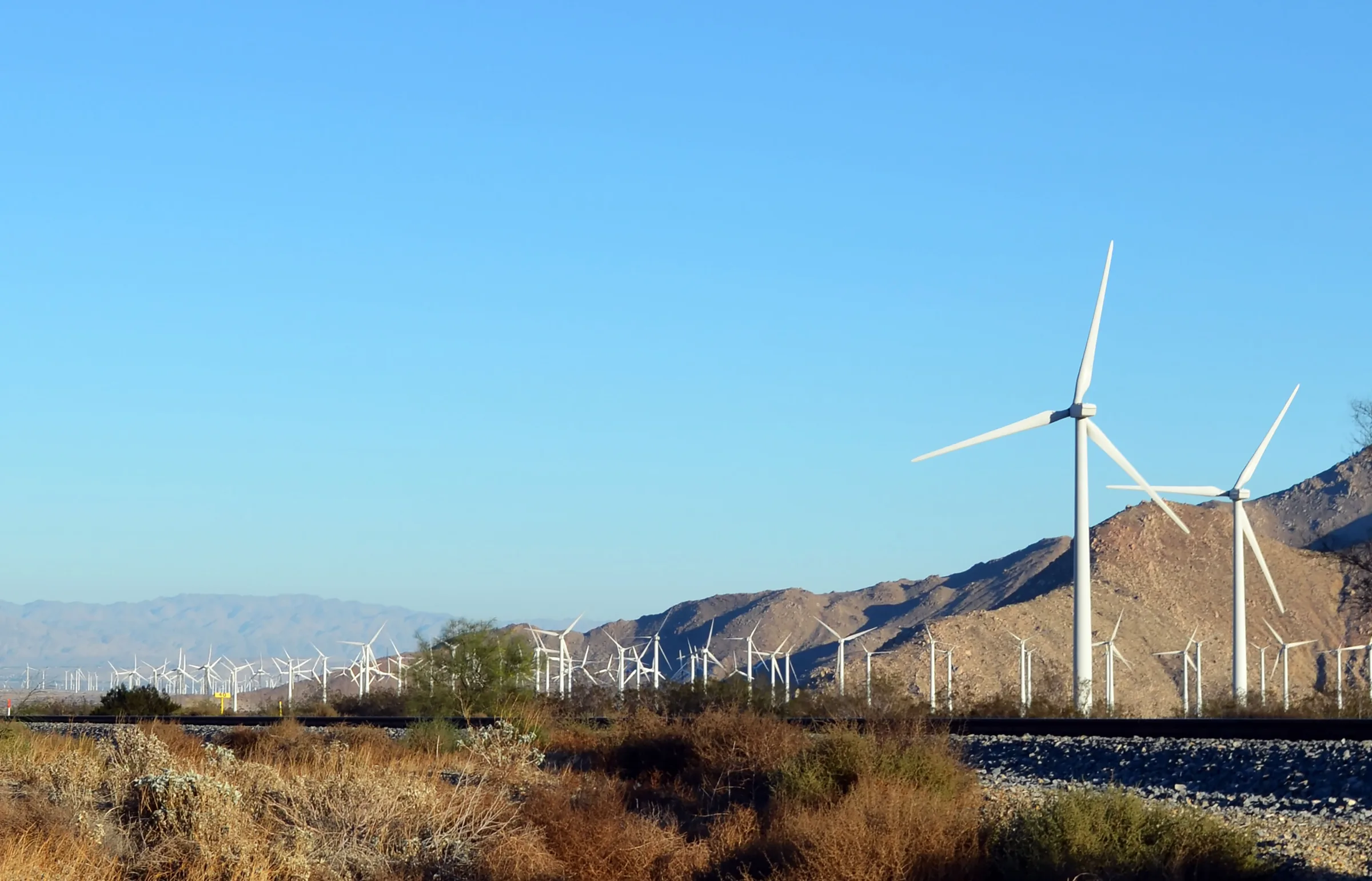
Driving from Los Angeles to Joshua Tree: the I-10 and Highway 62 route, miles and drive time, when to leave, toll lanes, EV charging and stops in Cabazon.
Read →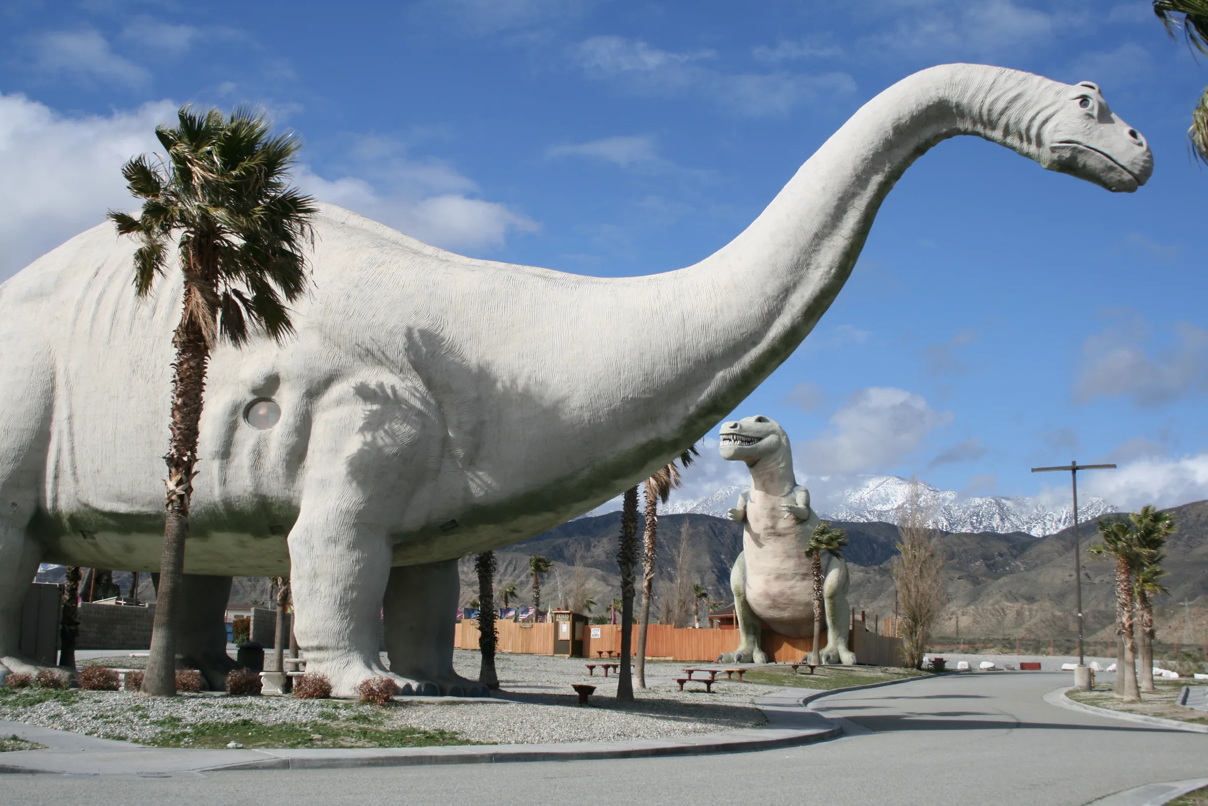
Orange County to Joshua Tree
Driving from Orange County to Joshua Tree: the 91, the 60 and I-10 to Highway 62, miles and drive time, the 91 Express Lanes, charging in Beaumont and stops.
Read →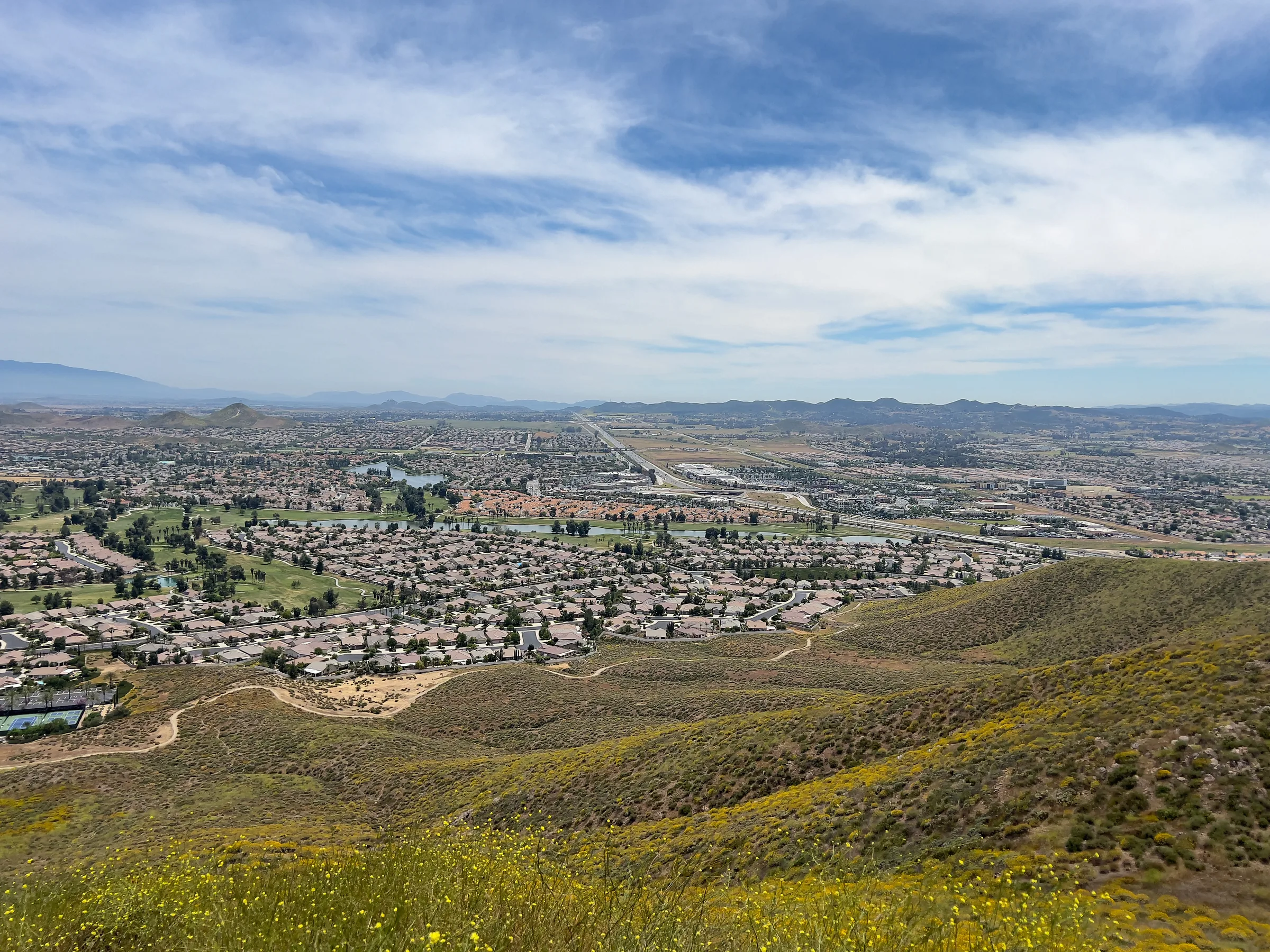
San Diego to Joshua Tree
Driving from San Diego to Joshua Tree: I-15 and Highway 79, or the desert way through Julian, Anza-Borrego and the Salton Sea. Miles, times, charging and stops.
Read →