


































































































Joshua Tree & nature
Keys View
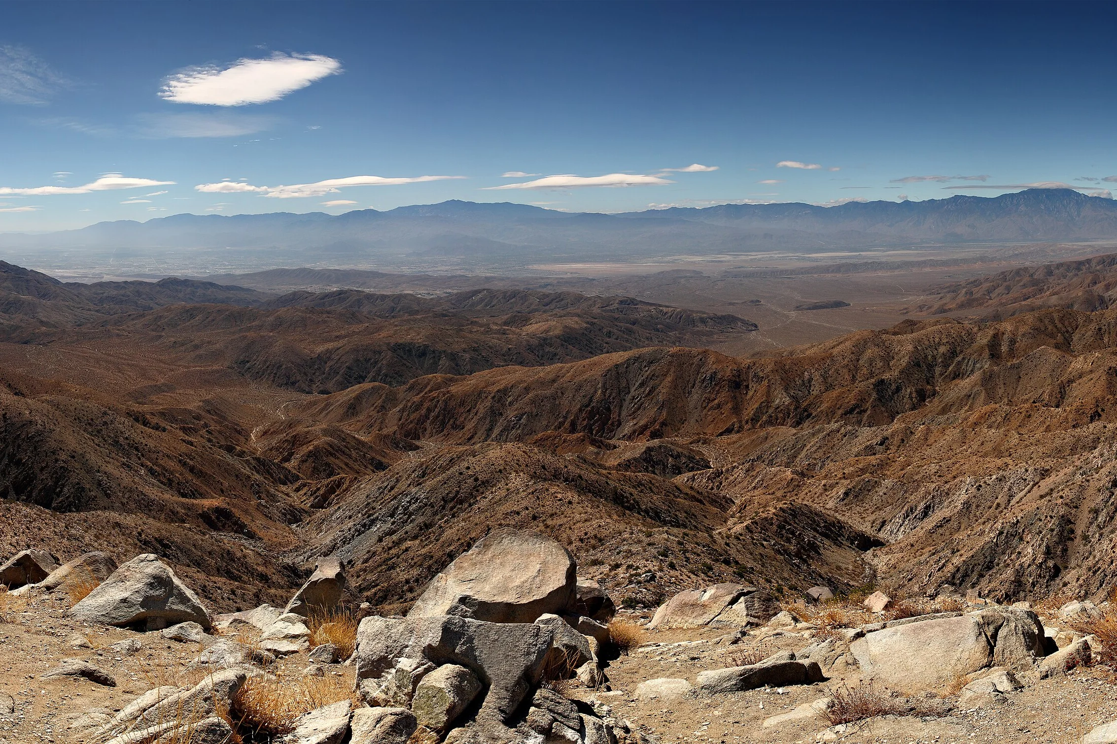
Keys View is the overlook at the end of a paved spur road in Joshua Tree National Park, on the crest of the Little San Bernardino Mountains at about 5,185 feet. You park, walk a few steps, and the ground drops away toward the Coachella Valley. It's one of the easiest big views in the park to reach, and one of the few places in it where a leashed dog is allowed on a path.
What you can see
The overlook faces roughly southwest, across the Coachella Valley toward Mount San Jacinto, and the park says the southwest side of the ridge drops nearly a mile in elevation into the valley. On a clear day, its guide to the view points out:
- The Salton Sea, 230 feet below sea level, on the far left.
- The Santa Rosa Mountains behind Indio.
- San Jacinto Peak, about 10,800 feet, behind Palm Springs. The park notes that it and the Santa Rosa Mountains form the high points of the Peninsular Ranges.
- San Gorgonio Mountain, about 11,500 feet.
- The San Andreas Fault, which stretches about 700 miles from the Gulf of California to the Mendocino Coast north of San Francisco, and which the park says runs through the valley below and can be seen from here.
- Signal Mountain in Mexico, about 90 miles to the south, on an exceptionally clear day. The park adds that this has become somewhat rare.
Haze and clear days
How far you see depends on the air. The park says its views are often obscured by haze, most of it generated in the Los Angeles basin and carried inland on the prevailing westerly winds. Its air-quality profile puts the natural visual range here at about 160 miles, now reduced to about 100, and under 55 miles on high-pollution days. Summer is also when ozone in the park most often exceeds federal standards.
In practice, that means the view changes from one day to the next. If the overlook is the main reason for the drive, check an air-quality or visibility forecast that morning and save it for the clearest day of your stay.
The walk at the top
The lookout itself is wheelchair accessible. From the parking area there are two short paved options. Lower Keys View is a path of about 0.1 mile with minimal elevation gain, the one the park recommends for visitors with mobility concerns. The upper loop, about 0.2 to 0.25 mile, climbs the ridge on a paved path the park calls steep, with educational wayside signs and what the park calls especially nice views. Allow about 30 minutes for it. There's also a tactile exhibit, a map of the viewshed, for visitors who are blind or have low vision.
The drive
Keys View Road leaves Park Boulevard near Cap Rock and runs south to the overlook. Cap Rock, at the junction, has its own short nature loop of about 0.4 mile with roughly 20 feet of elevation change, past boulder piles, Joshua trees and other desert plants. The park calls it a 20-minute drive from Park Boulevard down Keys View Road, and its distance table puts Keys View about 21 miles and 37 minutes from the Joshua Tree Visitor Center in town. From the house, allow about an hour each way, including the 25 minutes to the West Entrance, and more if there's a line at the gate. On the way you pass the road to the Lost Horse Mine trailhead, which branches off Keys View Road.
Crowds and timing
The park describes Keys View as popular, adding that it "can be extremely crowded and can close down due to congestion on busy days." It's on the park's list of lots that may temporarily close once full. The park's general busy-season advice is to arrive before 8 am, and busy season runs roughly September through May.
If you're out for sunset, the park's own list of popular sunset spots includes Cap Rock, Quail Springs, Ryan Mountain and Indian Cove, and it notes that sunset is good from most parking lots and pullouts across the park. That gives you options if the overlook road is backed up.
Dogs at Keys View
The park's pet rules allow leashed pets on the paved Keys View trail, which makes this a good stop if the dog came along for the day. Keep it on a leash of 6 feet or less. The park also warns that hot pavement can burn a pet's feet, so walk in the cooler parts of the day. The only other trail the rules name is the paved Oasis of Mara trail in Twentynine Palms, which has been closed past the oasis since flood damage in September 2025, so check the park's alerts before you plan around it. On every other trail in the park, pets aren't allowed. Rules can change, so check the park's pets page before you go, and see visiting Joshua Tree with a dog for more.
Pairing it with the day
Keys View is one of the longer drives from the house, so it works best in the middle or at the end of a day in the park. An easy morning at Hidden Valley and Barker Dam before their lots fill, then the drive out to Keys View, makes a full, unhurried day. If someone wants a hike, Lost Horse Mine is on the same road, and Ryan Mountain is a short drive along Park Boulevard from the Keys View turn. Black Rock Canyon is better on a separate day, since it doesn't connect by road.
Then drive back for the evening. The park is an International Dark Sky Park, and the house has a gas fire pit and the car bed for stargazing.
Know before you go
- Elevation. About 5,185 feet, close to 1,900 feet higher than Yucca Valley. Bring a layer.
- Water. There's no water in the park's interior. Bring what you'll need for the day.
- Drones are prohibited in the park.
- Fees. The park's entrance fee applies, around $30 for a 7-day vehicle pass at last check.
- Cell service is limited in the park. Download an offline map before you leave town.
- Check first. Lot closures and road alerts are posted on the park's website.
Ready to plan the day? Check dates at the house, then pick the clearest morning of your stay for Keys View.
Keep exploring
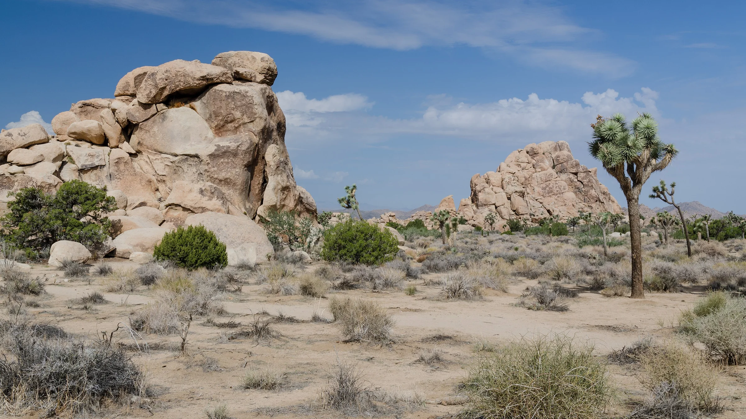
The Best Hikes in Joshua Tree National Park
The best hikes in Joshua Tree, shortest to longest — Hidden Valley, Barker Dam, Ryan Mountain, 49 Palms Oasis and Lost Horse Mine, about 25 minutes from the house.
Read →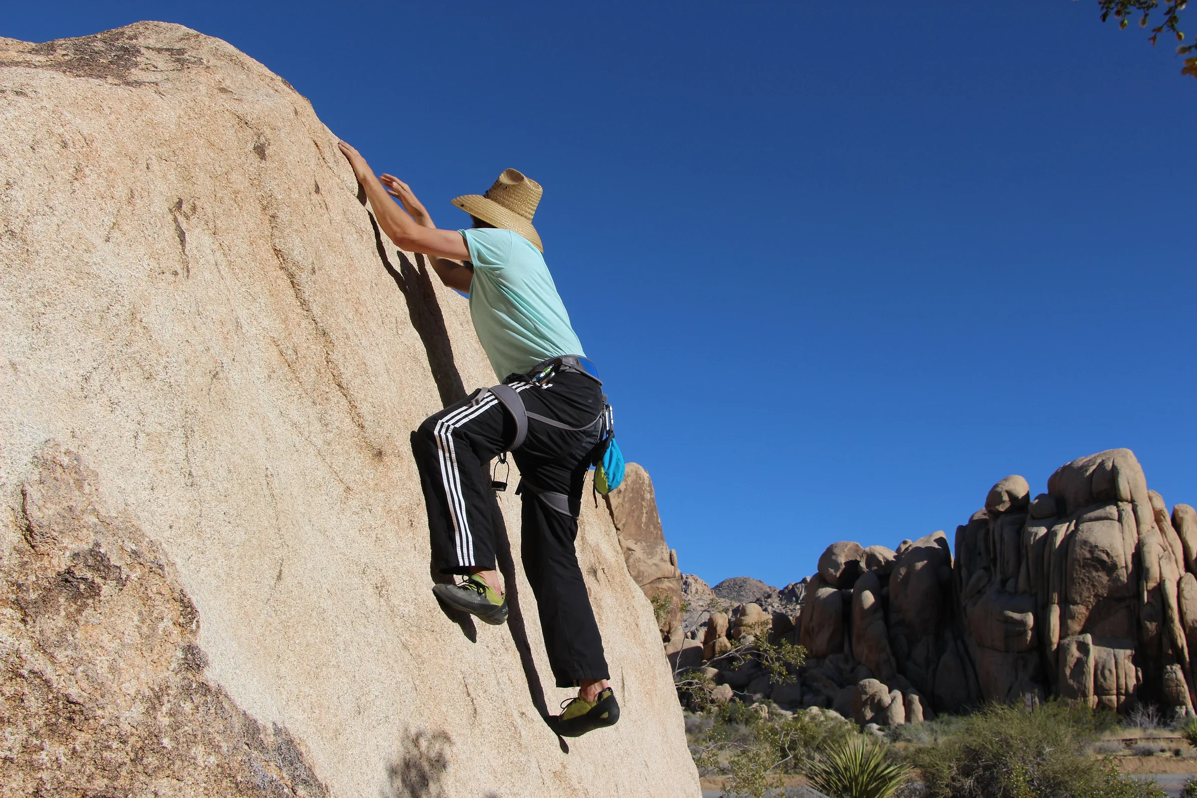
Rock Climbing & Bouldering in Joshua Tree
Joshua Tree is a world-class rock-climbing and bouldering destination. Where to start, when to go, how to climb it responsibly, and how to hire a guide if you're new.
Read →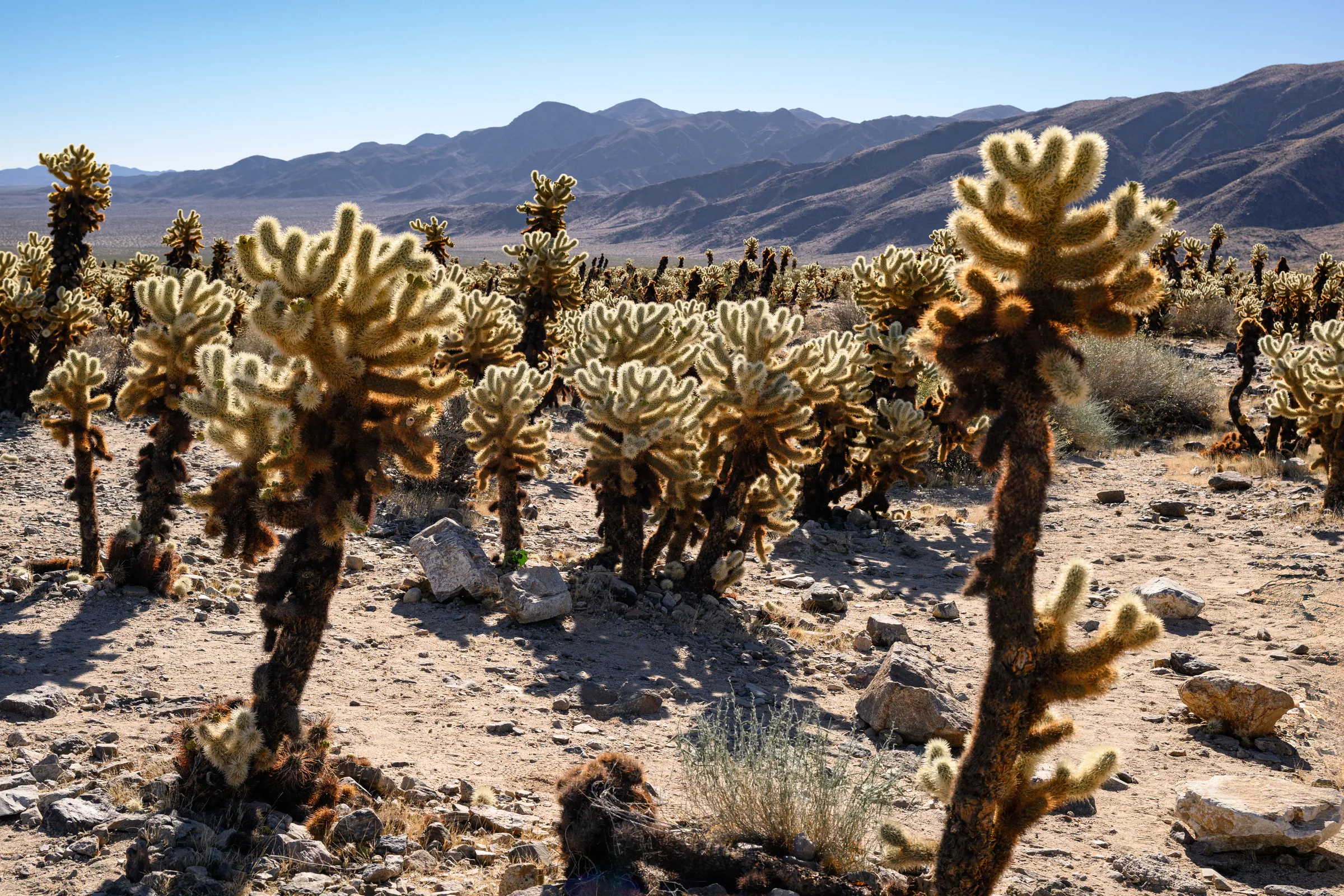
The Cholla Cactus Garden & the Park's Quiet South End
The Cholla Cactus Garden and Joshua Tree's quiet southern end — Cottonwood Spring, Lost Palms Oasis and the ocotillo patch, and how to do the drive from Yucca Valley.
Read →