


































































































Joshua Tree & nature
Covington Flats
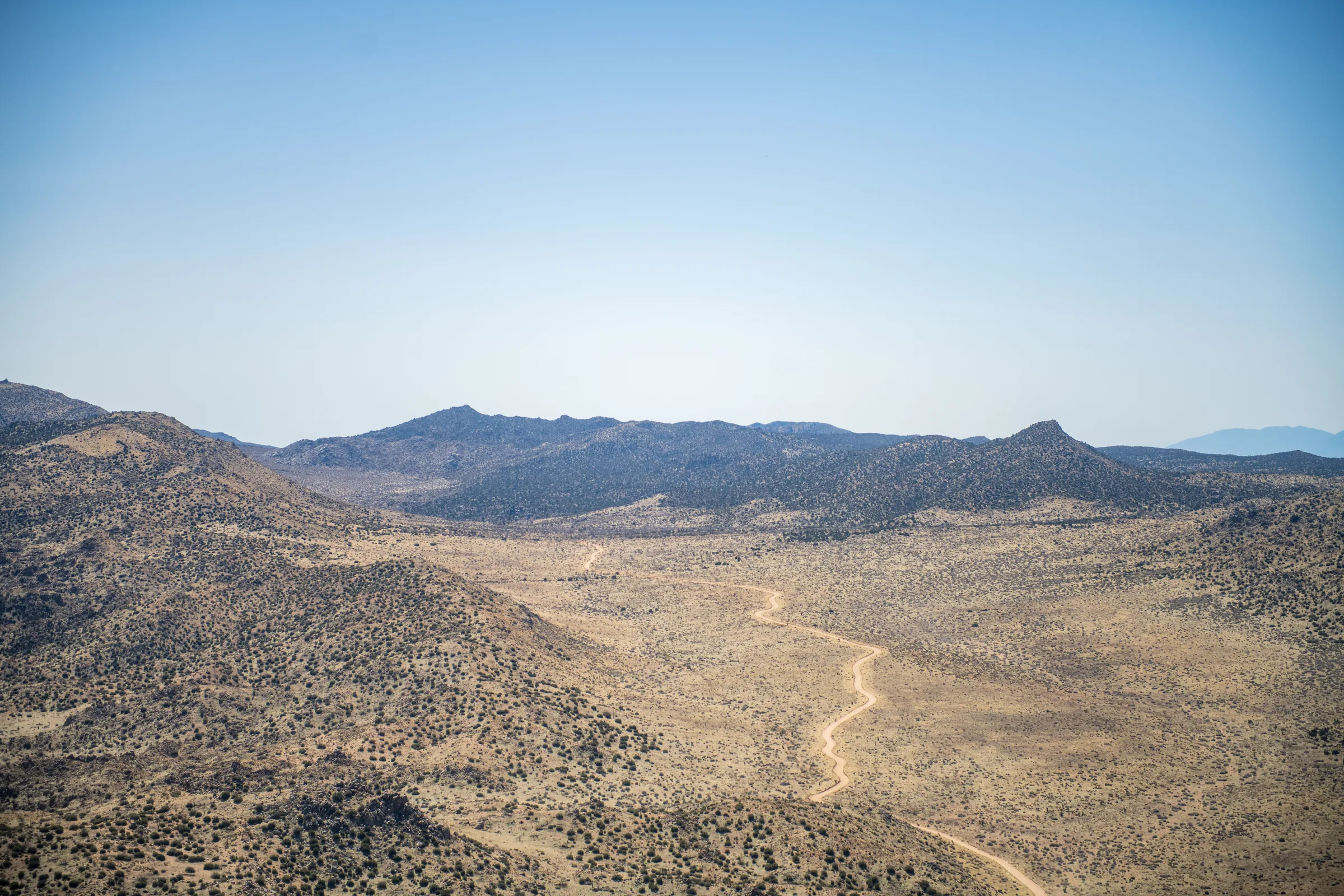
Covington Flats is a corner of Joshua Tree National Park in its northwest section, between Black Rock Canyon and the town of Joshua Tree, reached by dirt road from Yucca Valley rather than through a main entrance. The park service says its roads lead to some of the park's largest Joshua trees, junipers and pinyon pines. Plan on a high-clearance, four-wheel-drive vehicle: the park requires one here.
Why it's worth the drive
The woodland here mixes big Joshua trees with junipers and pinyon pines, and the park has described the Covington Flats area as holding most of the important Joshua tree populations in the park. At the end of the road, Eureka Peak, at about 5,500 feet the fourth-highest summit in the park, looks out over Palm Springs, the surrounding mountains and the Morongo Basin. Its upper slopes occasionally see snow in winter, and the dirt roads are also popular with mountain bikers.
The trees
The Joshua tree is a giant yucca, Yucca brevifolia, with no true wood, and it grows slowly, roughly half an inch to three inches a year. The park service puts the average lifespan at around 150 years, with some living more than 300, and the largest can pass 40 feet. They have no growth rings, so every age is an estimate. That slow growth is why the big trees here matter: a burned stand takes a very long time to come back, and Joshua trees are poorly adapted to fire and threatened by a warming climate. Read more in the story of the Joshua tree.
The roads
The park lists the Covington Flat roads as high clearance and four-wheel drive required. Take La Contenta Road south off Highway 62 in Yucca Valley, about 2.7 miles east of the Highway 247 junction. It runs through a residential area for the first couple of miles, then becomes graded dirt and continues into the park. One hiking site puts the whole drive from Highway 62 to the end of the Eureka Peak road at about 12 miles, nearly all of it dirt.
From the picnic area, a dirt road climbs 3.8 miles to Eureka Peak and is steep near the end. You can add about 6.5 miles by driving over to the backcountry trailhead at Upper Covington Flat. Vehicles must stay on designated roads and be registered and street legal; ATVs, UTVs and dirt bikes aren't allowed, and neither is camping along backcountry roads.
Walks
The Covington Crest Trail runs about 1.5 miles from the Upper Covington Flat area through Joshua trees, junipers and pinyons to a drop-off with views across the valley. One hiking site measures it at about 3.1 miles round trip with only around 140 feet of gain. The long-distance California Riding and Hiking Trail also passes through, and a spur from it climbs Eureka Peak from the north, so strong hikers can reach the summit on foot from the Black Rock side. Backcountry camping needs a park permit.
Fire and closures
In May 2025 the Eureka Fire, later found to be human caused, burned 214 acres in Covington Flats, killing Joshua trees and damaging some of the park's most important Joshua tree habitat. Because of the summer fire risk, the park closed the Covington Flats area over the Fourth of July weekend in 2024 (when dried grasses were a concern) and in 2026. The park has said all five wildfires it saw in the past five years were human caused. Follow current fire restrictions, and check the park's alerts before you go in case the area or its roads are closed.
Getting there from the house
La Contenta Road is in Yucca Valley, so the start is close, but most of the roughly 12 miles in is slow dirt road, so allow extra time each way. Go in daylight and leave enough light for the drive back down, because cell service in the park is unreliable if anything goes wrong. Without a high-clearance 4WD vehicle, Black Rock Canyon is the nearby alternative on paved road, with a nature center and trails, and the park's best-known hikes are reached on paved roads through the West Entrance. The Black Rock Nature Center is also one of the few spots on the park's edges with drinking water, so it's a sensible place to fill bottles before a Covington trip.
When to go
Spring and fall are the comfortable seasons in the high desert, with typical daytime temperatures around 65 to 80°F. Summer days often pass 100°F, and summer is also when the holiday fire closures above have happened. Winter brings cold nights and, now and then, snow on Eureka Peak's upper slopes. Storms in any season can change road conditions, so check the park's alerts and current conditions the day you go.
Know before you go
- High-clearance four-wheel drive is required, per the park. Don't attempt it in a regular car, and expect conditions to change after rain.
- All park visitors need an entrance pass (around $30 per vehicle for seven days). Buy one online or at a visitor center before you head up; see entrances and fees.
- There's no water in the area. Carry at least a gallon per person per day.
- Download offline maps first; don't rely on your phone.
- Dogs must be leashed and stay within 100 feet of the roads. They aren't allowed on the trails.
- Drones are prohibited throughout the park.
- Leave the trees, plants and rocks as you find them, and check park alerts for fire restrictions and closures.
Back at the house, the cactus garden has Joshua trees of its own, and you can check dates any time.
Keep exploring
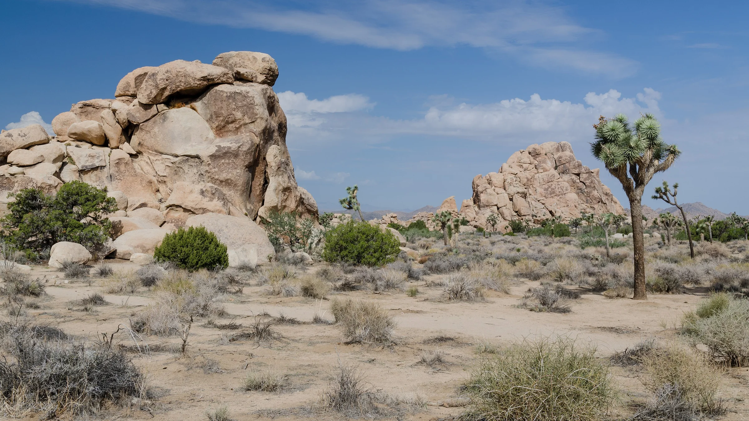
The Best Hikes in Joshua Tree National Park
The best hikes in Joshua Tree, shortest to longest — Hidden Valley, Barker Dam, Ryan Mountain, 49 Palms Oasis and Lost Horse Mine, about 25 minutes from the house.
Read →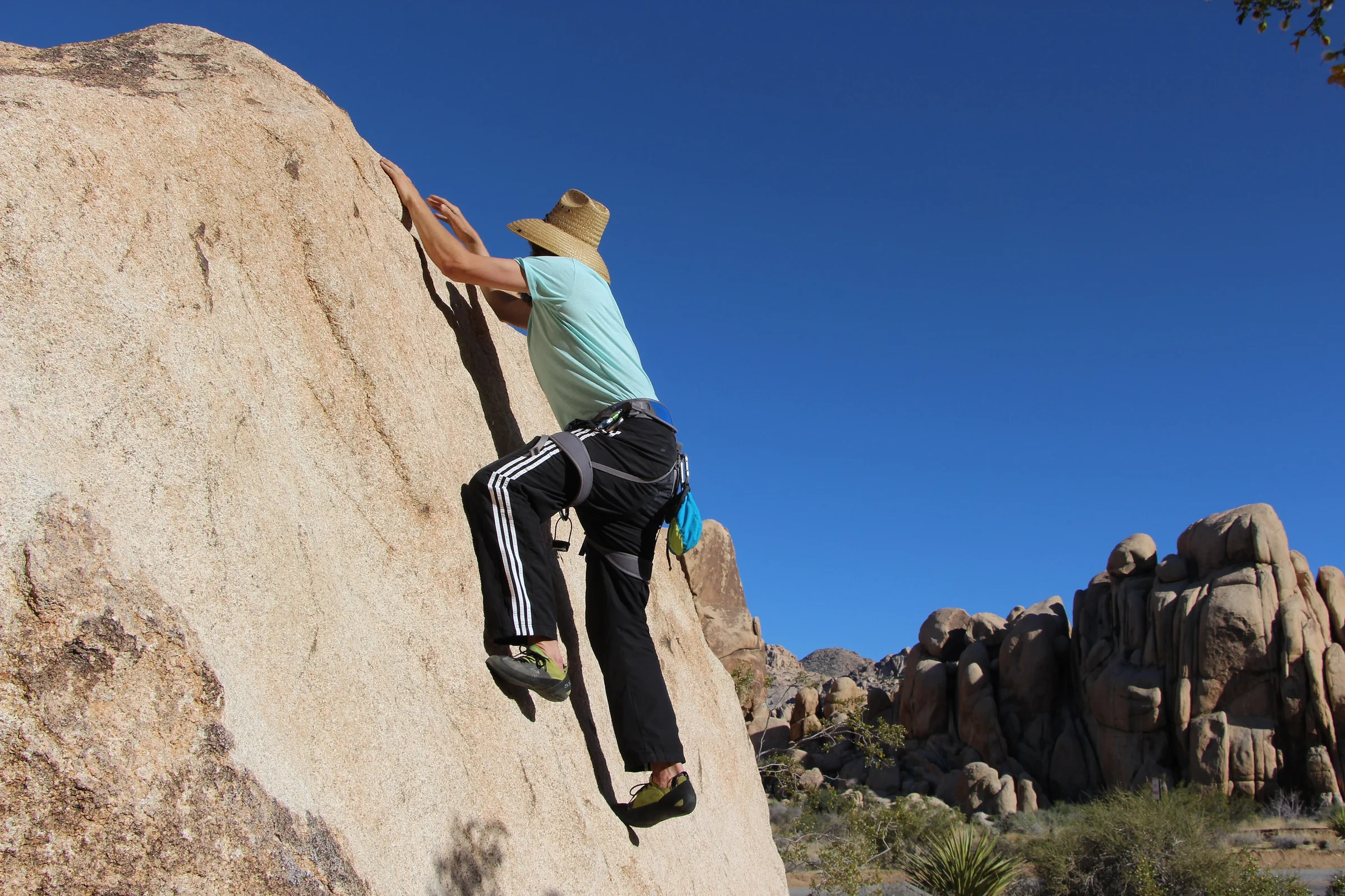
Rock Climbing & Bouldering in Joshua Tree
Joshua Tree is a world-class rock-climbing and bouldering destination. Where to start, when to go, how to climb it responsibly, and how to hire a guide if you're new.
Read →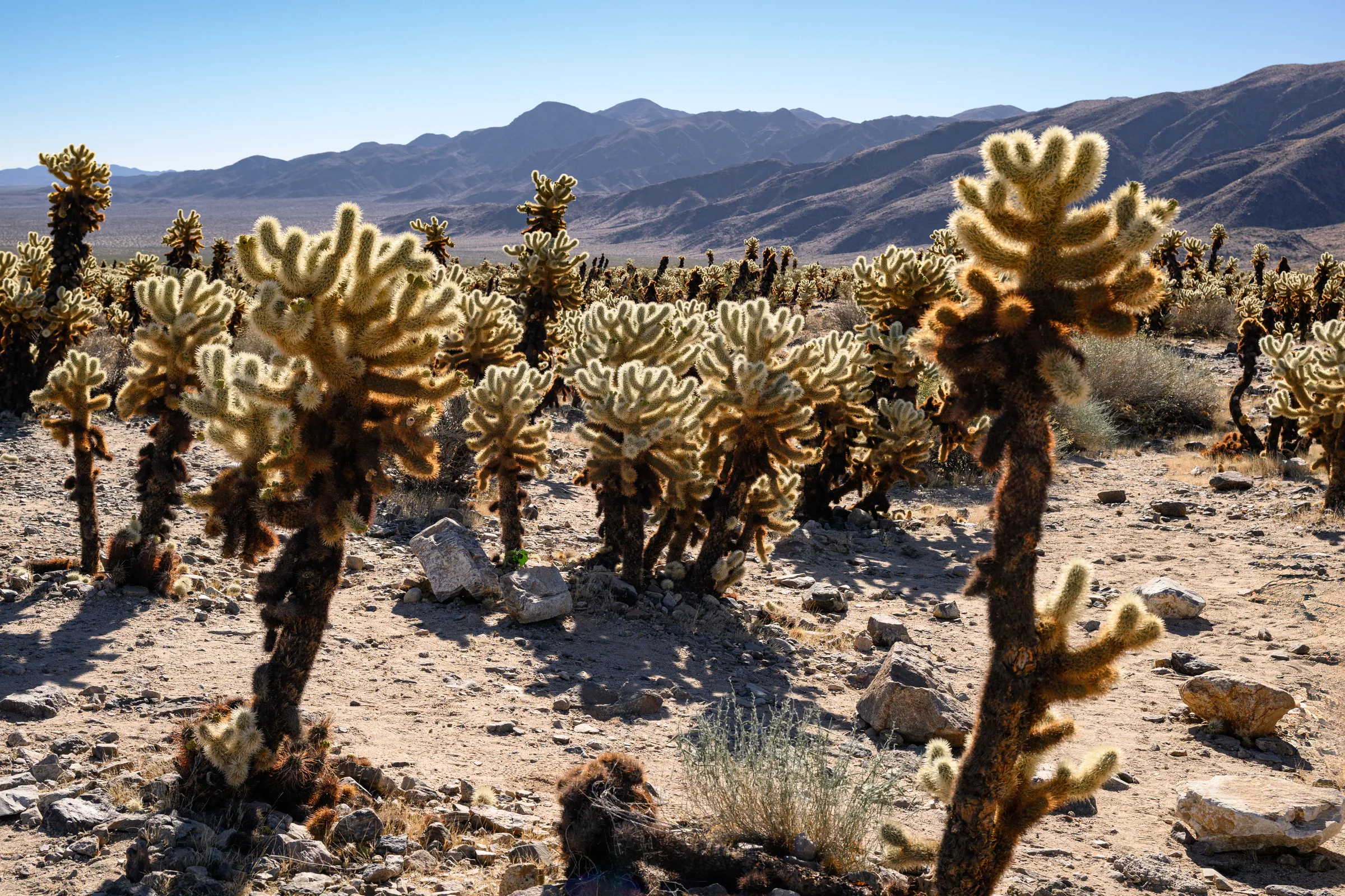
The Cholla Cactus Garden & the Park's Quiet South End
The Cholla Cactus Garden and Joshua Tree's quiet southern end — Cottonwood Spring, Lost Palms Oasis and the ocotillo patch, and how to do the drive from Yucca Valley.
Read →