


































































































Yucca Valley · Joshua Tree · the Morongo Basin
Local guides.
Written from the desert
Everything worth the drive, most of it within an hour of the house.
Real places, real distances — the hikes, towns, art, food and dark skies we point every guest toward. Start here, then build your days.
Or read the JournalJoshua Tree & nature
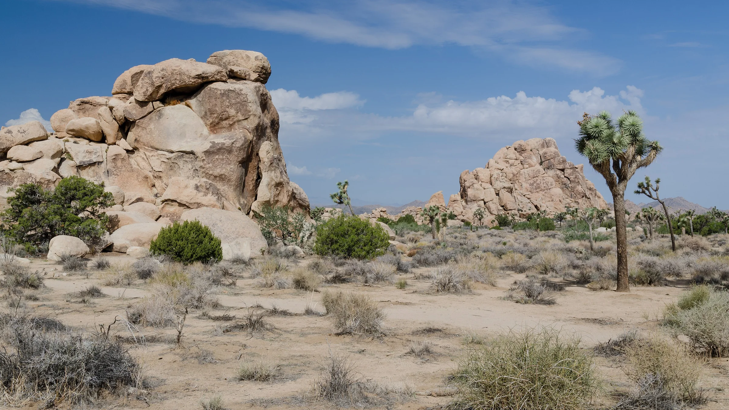
The Best Hikes in Joshua Tree National Park
The best hikes in Joshua Tree, shortest to longest — Hidden Valley, Barker Dam, Ryan Mountain, 49 Palms Oasis and Lost Horse Mine, about 25 minutes from the house.
Read →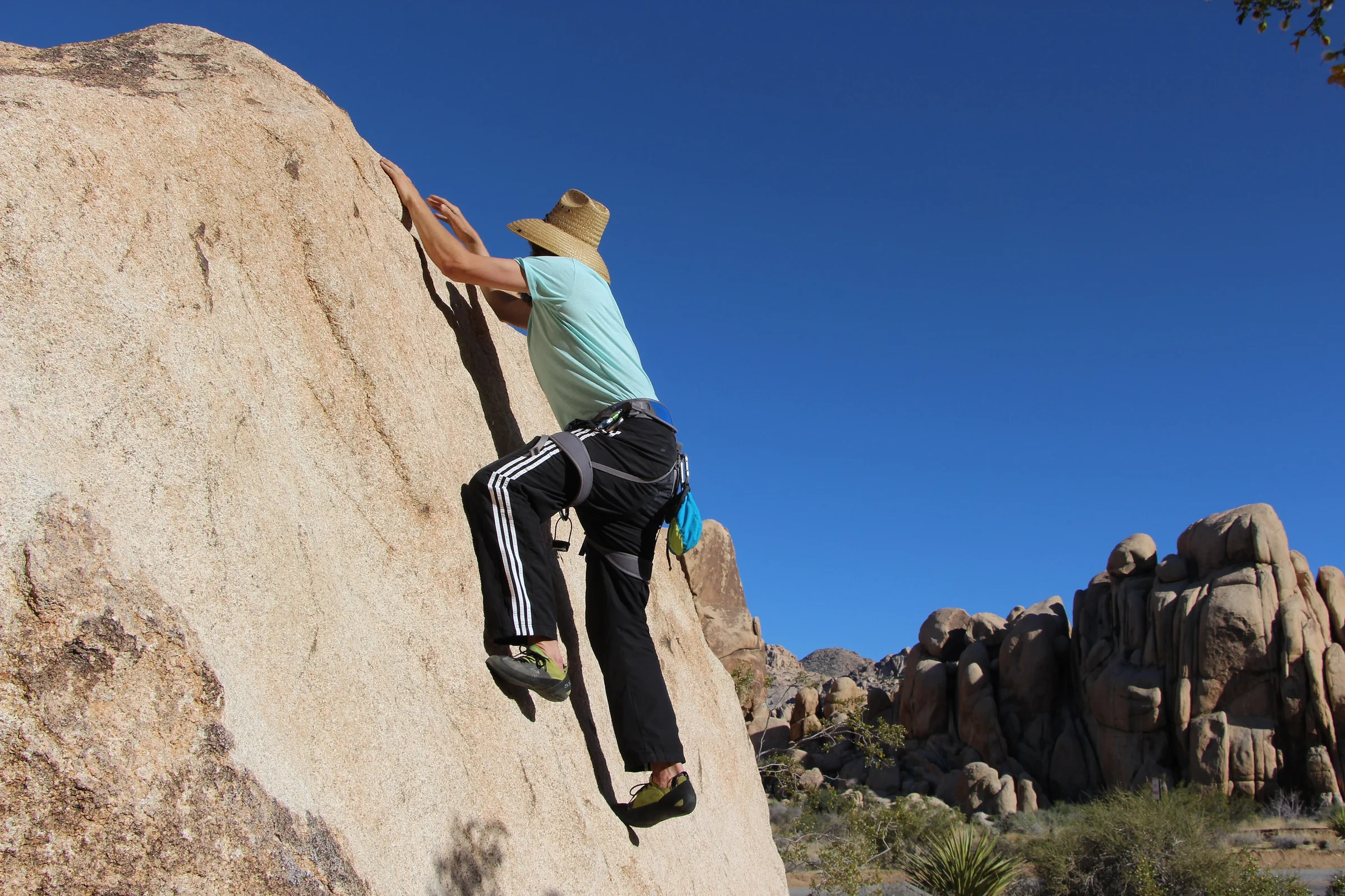
Rock Climbing & Bouldering in Joshua Tree
Joshua Tree is a world-class rock-climbing and bouldering destination. Where to start, when to go, how to climb it responsibly, and how to hire a guide if you're new.
Read →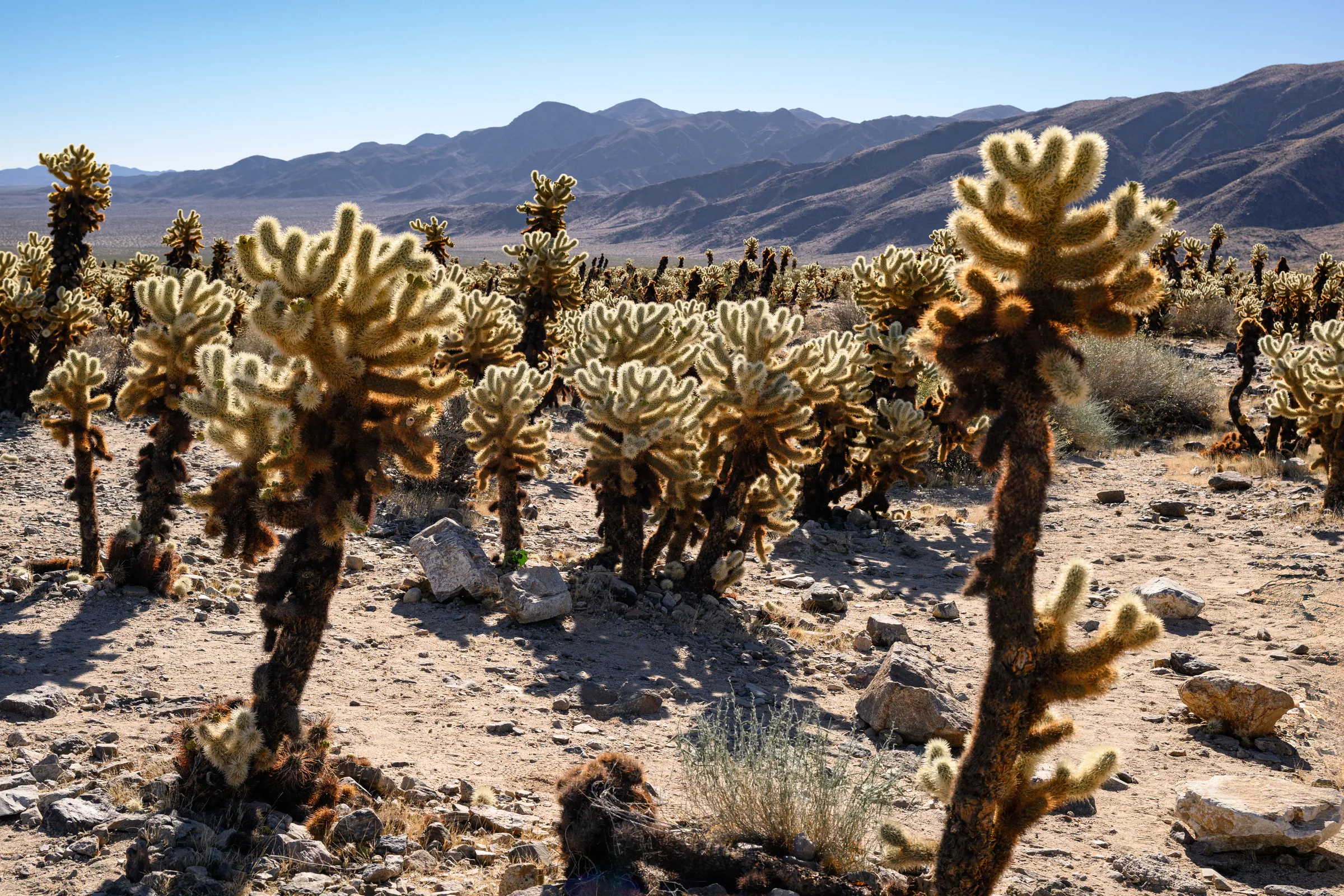
The Cholla Cactus Garden & the Park's Quiet South End
The Cholla Cactus Garden and Joshua Tree's quiet southern end — Cottonwood Spring, Lost Palms Oasis and the ocotillo patch, and how to do the drive from Yucca Valley.
Read →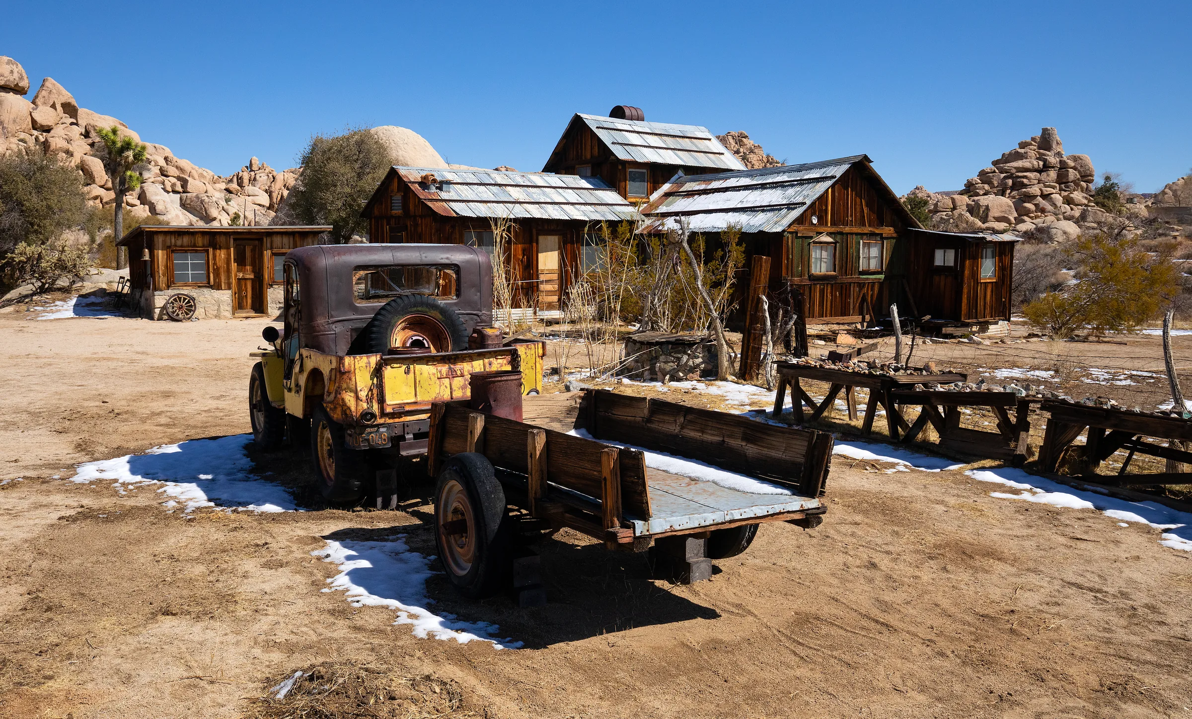
Keys Ranch: The Desert Queen Ranch Tour
Keys Ranch (the Desert Queen Ranch) in Joshua Tree — a preserved homestead you can only see on a ranger-guided walking tour. The Keys family story and how to book.
Read →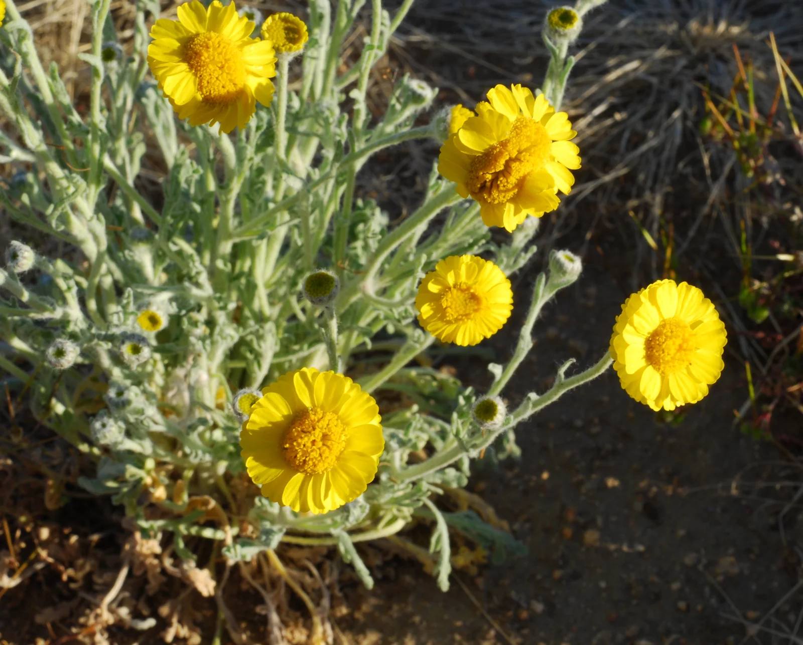
Wildflowers & the Desert in Bloom
How the high-desert wildflower bloom works around Joshua Tree — why it hinges on winter rain, when and where to look, what you'll see, and how to catch it in a good year.
Read →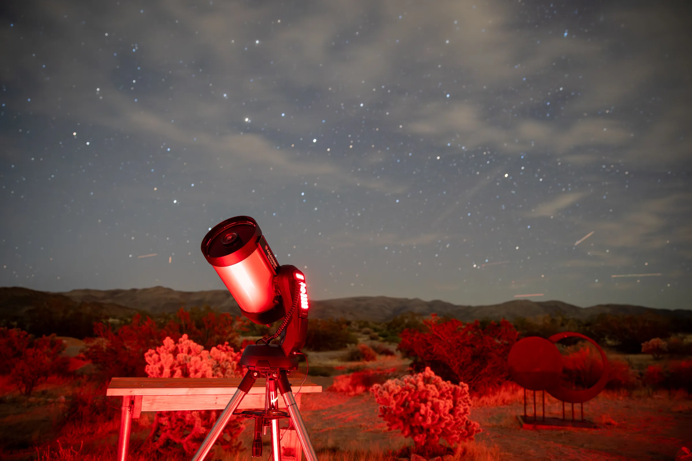
Sky's the Limit Observatory & Nature Center
A volunteer-run observatory and nature center by Joshua Tree's north entrance in Twentynine Palms, with a walk-through solar system model and night sky events.
Read →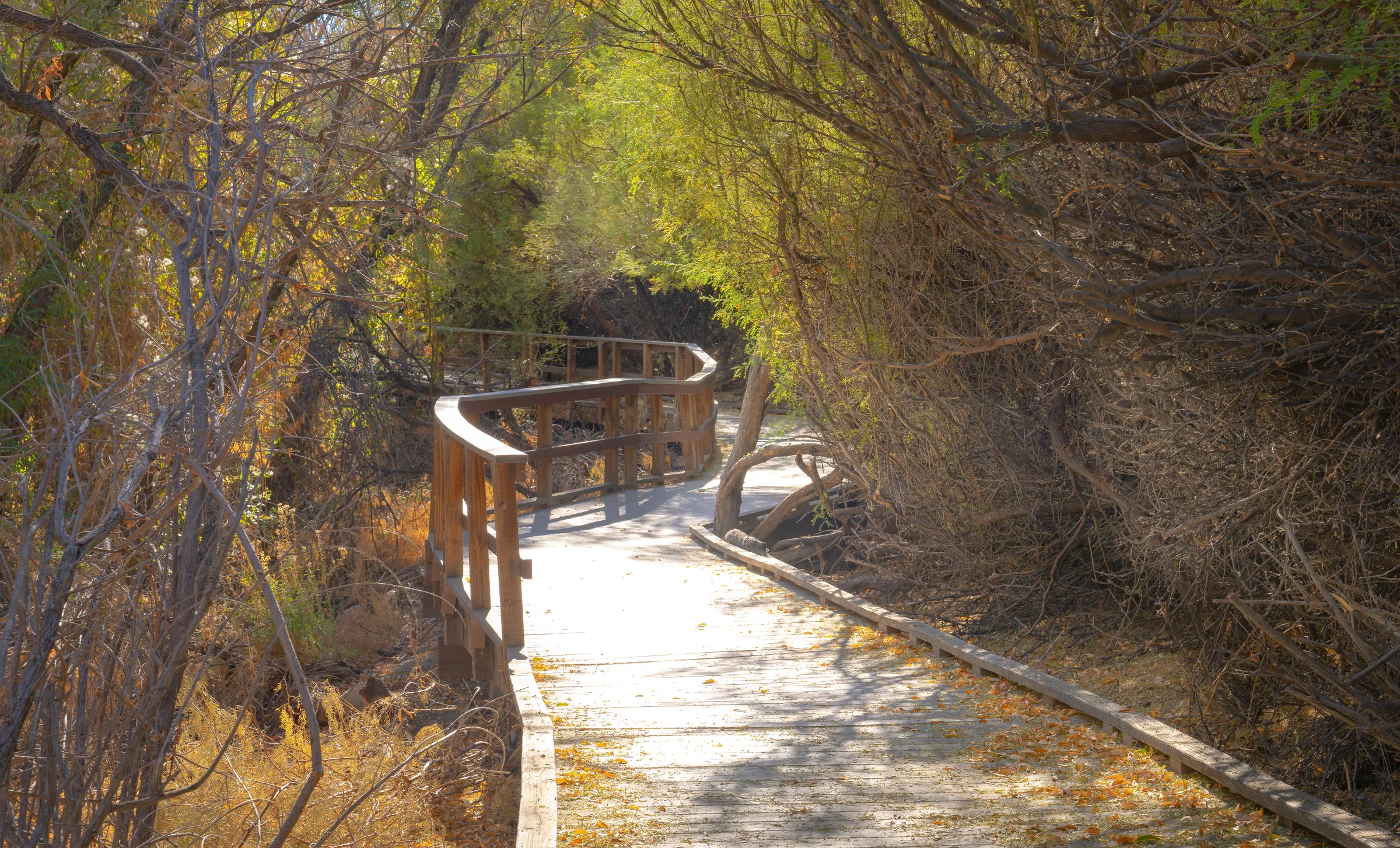
Big Morongo Canyon Preserve
A spring-fed oasis in Morongo Valley with an accessible boardwalk, canyon trails and over 200 bird species recorded. Free, about 25 minutes from the house.
Read →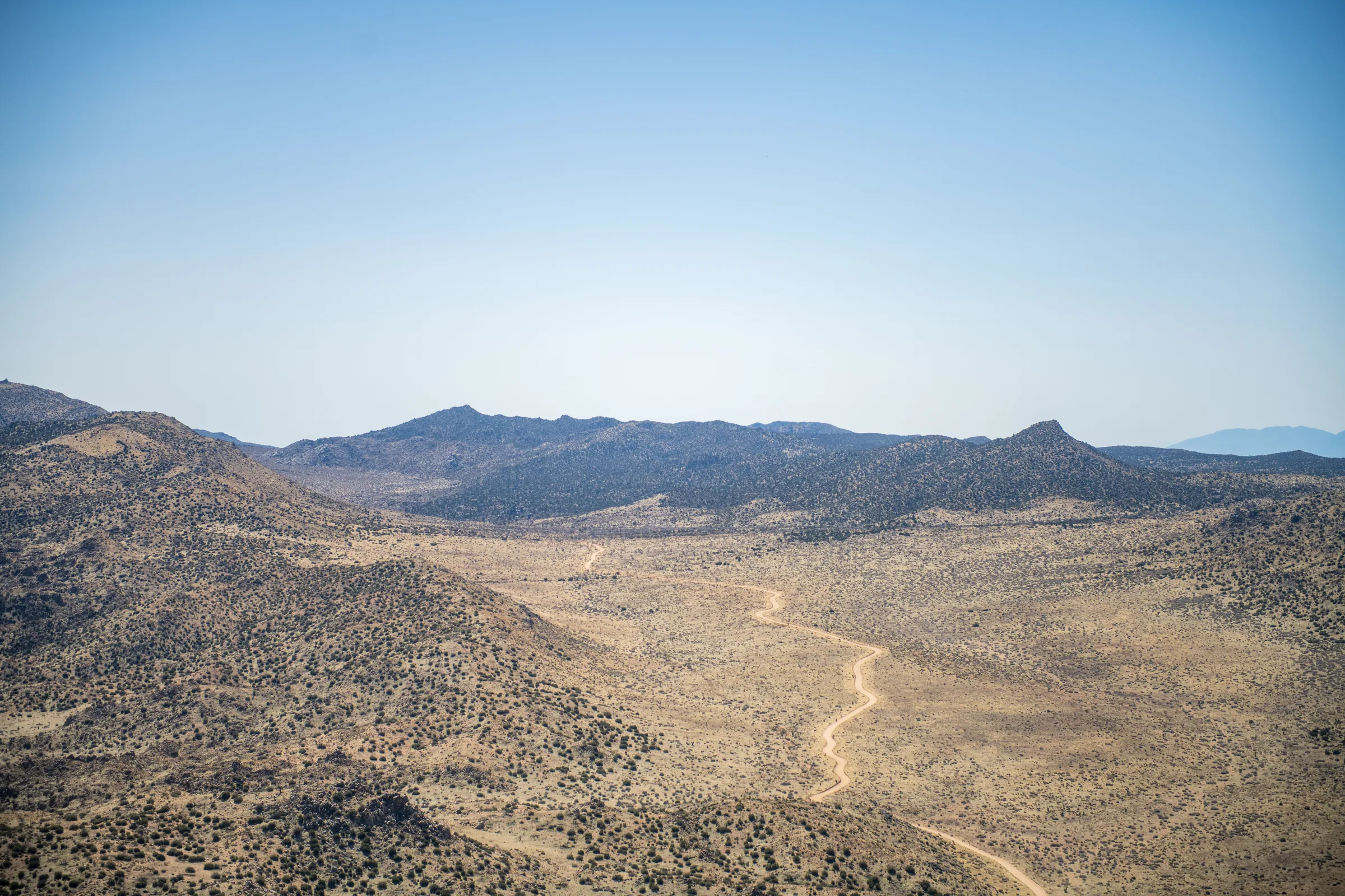
Covington Flats
A corner of Joshua Tree National Park reached by dirt road from Yucca Valley, with some of the park's largest Joshua trees. High-clearance 4WD required.
Read →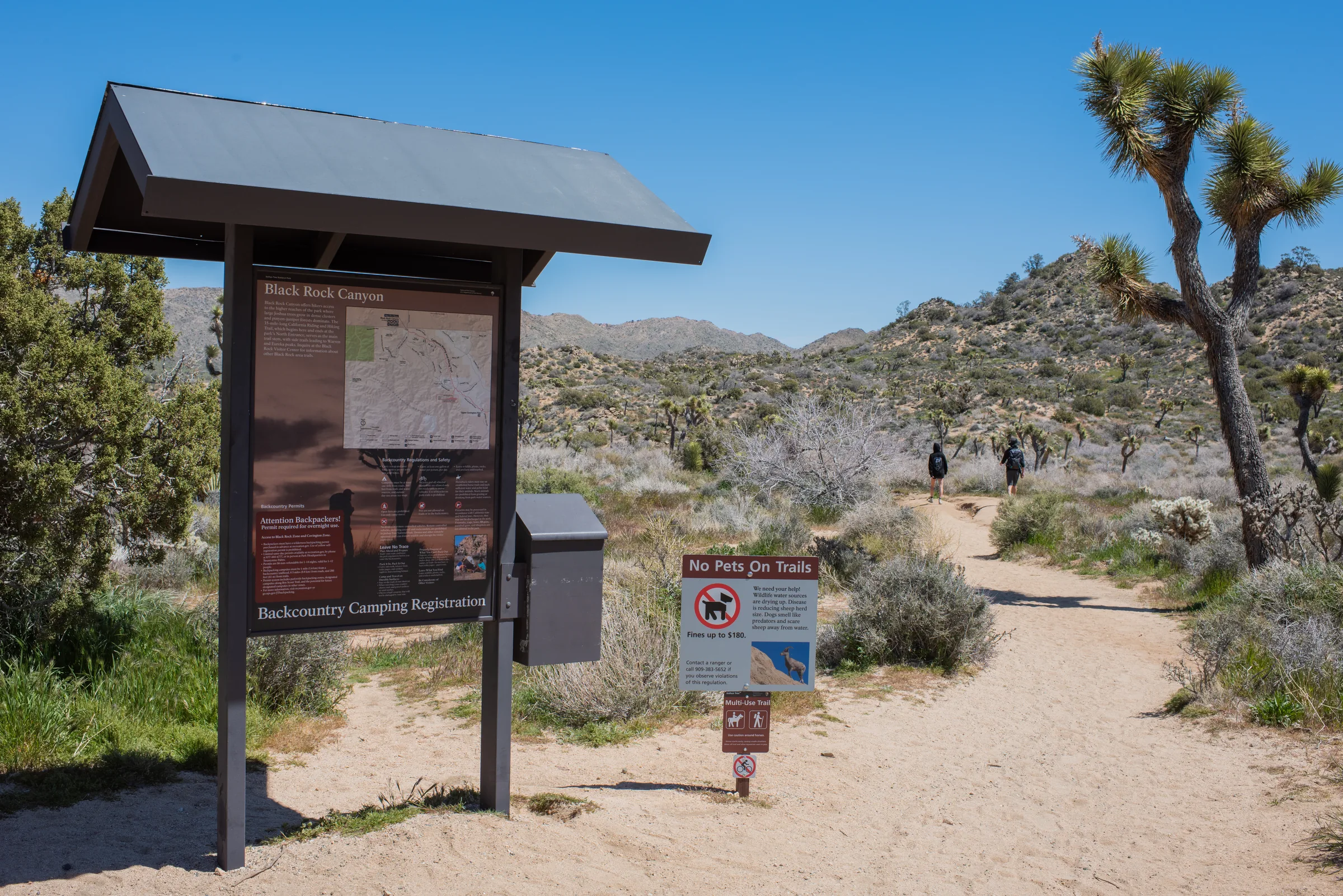
Black Rock Canyon
Black Rock Canyon is the Joshua Tree National Park corner in Yucca Valley, with a campground, a nature center and trails from Hi-View to Eureka Peak.
Read →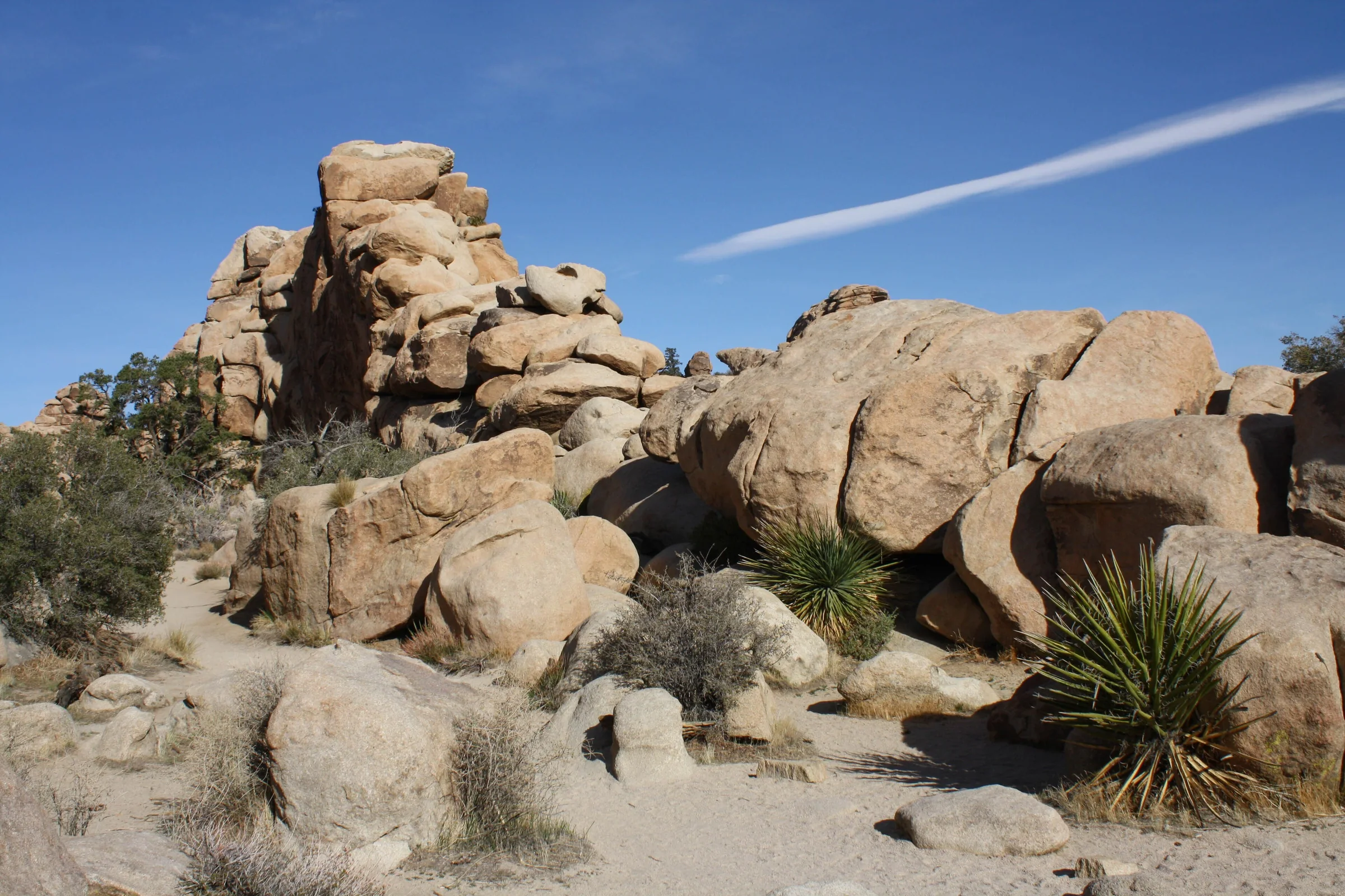
Hidden Valley Nature Trail
Hidden Valley Nature Trail is an easy one-mile loop through a rock-walled valley in Joshua Tree. Trail details, picnic area, climbing, parking and dog rules.
Read →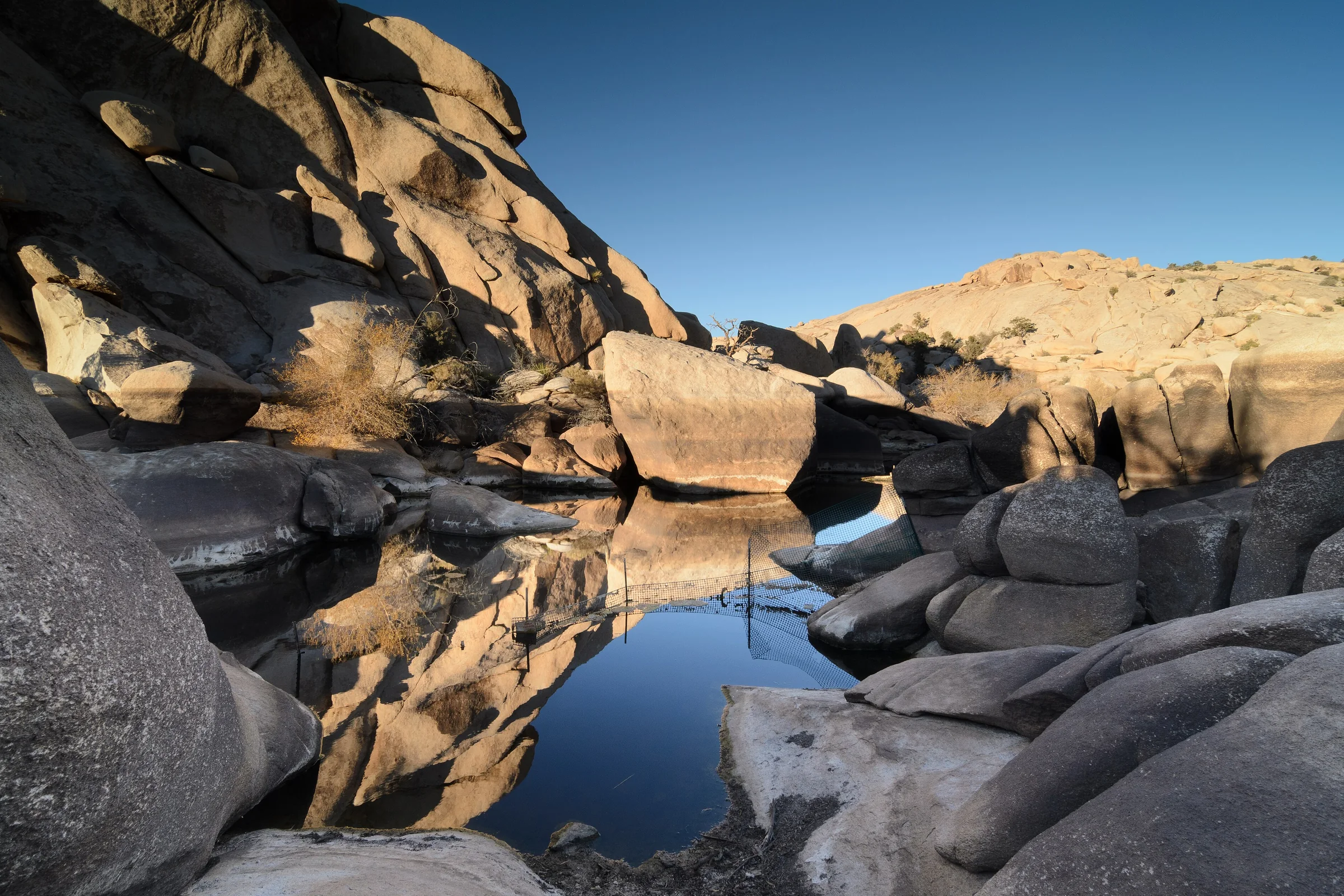
Barker Dam
Barker Dam Trail in Joshua Tree is an easy 1.1-mile loop past a historic ranchers' dam and a rock art site. When there's water, parking, history and dog rules.
Read →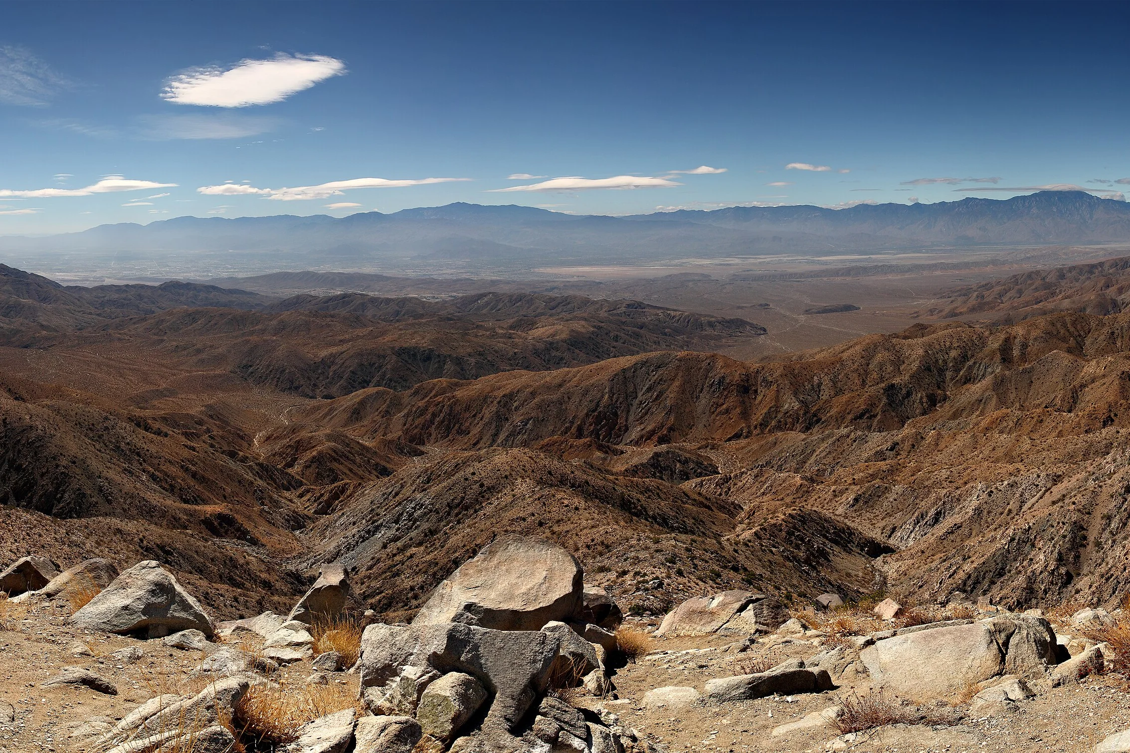
Keys View
Keys View is a drive-up overlook in Joshua Tree at about 5,185 feet, looking over the Coachella Valley and the San Andreas Fault. The drive, haze and crowds.
Read →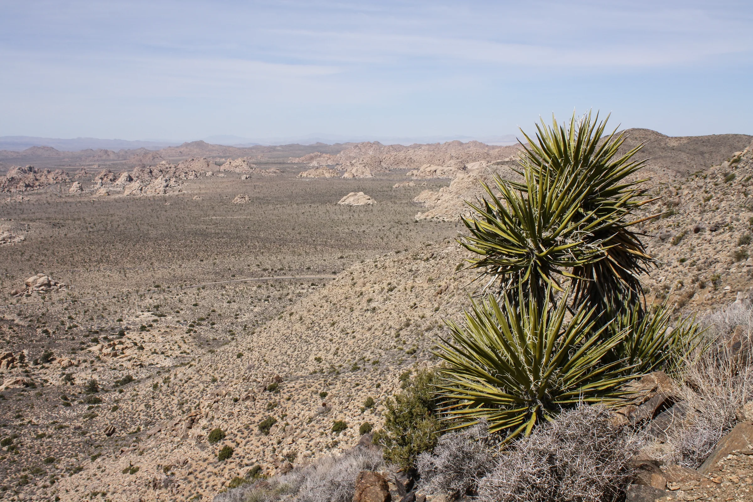
Ryan Mountain
Ryan Mountain is a strenuous 3-mile round trip in Joshua Tree National Park, climbing about 1,050 feet to a summit view. Heat warnings, parking and timing.
Read →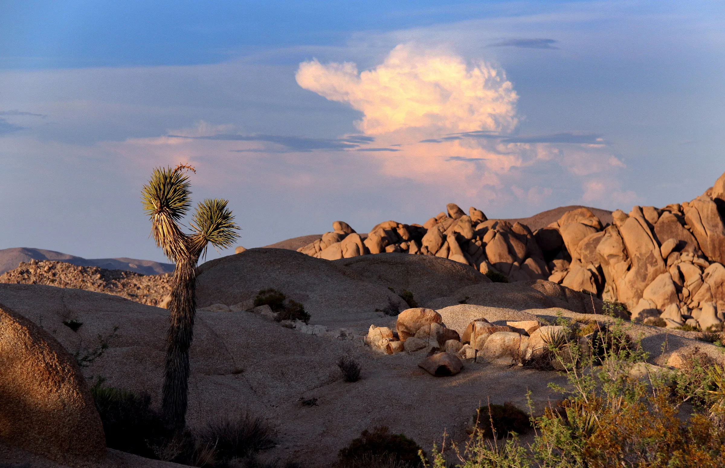
Skull Rock and Jumbo Rocks
Skull Rock and Jumbo Rocks in Joshua Tree: the roadside rock, a 1.7-mile nature loop, the campground, nearby trails, dog rules and the drive from Yucca Valley.
Read →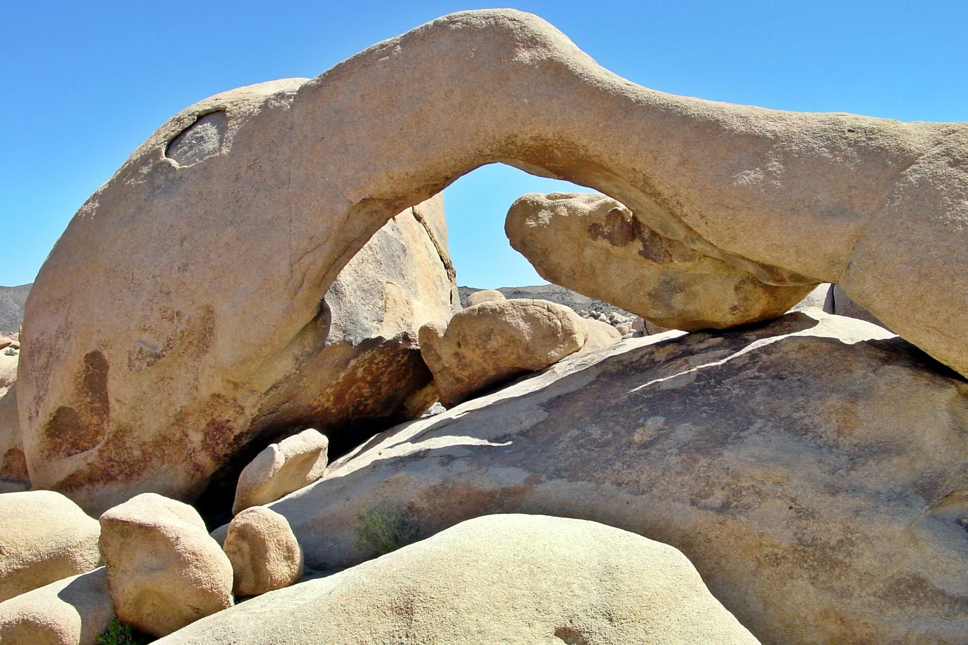
Arch Rock and White Tank
Arch Rock in Joshua Tree: the 1.4-mile loop from Twin Tanks, White Tank Campground, Heart Rock, parking, dog rules and the drive from the house in Yucca Valley.
Read →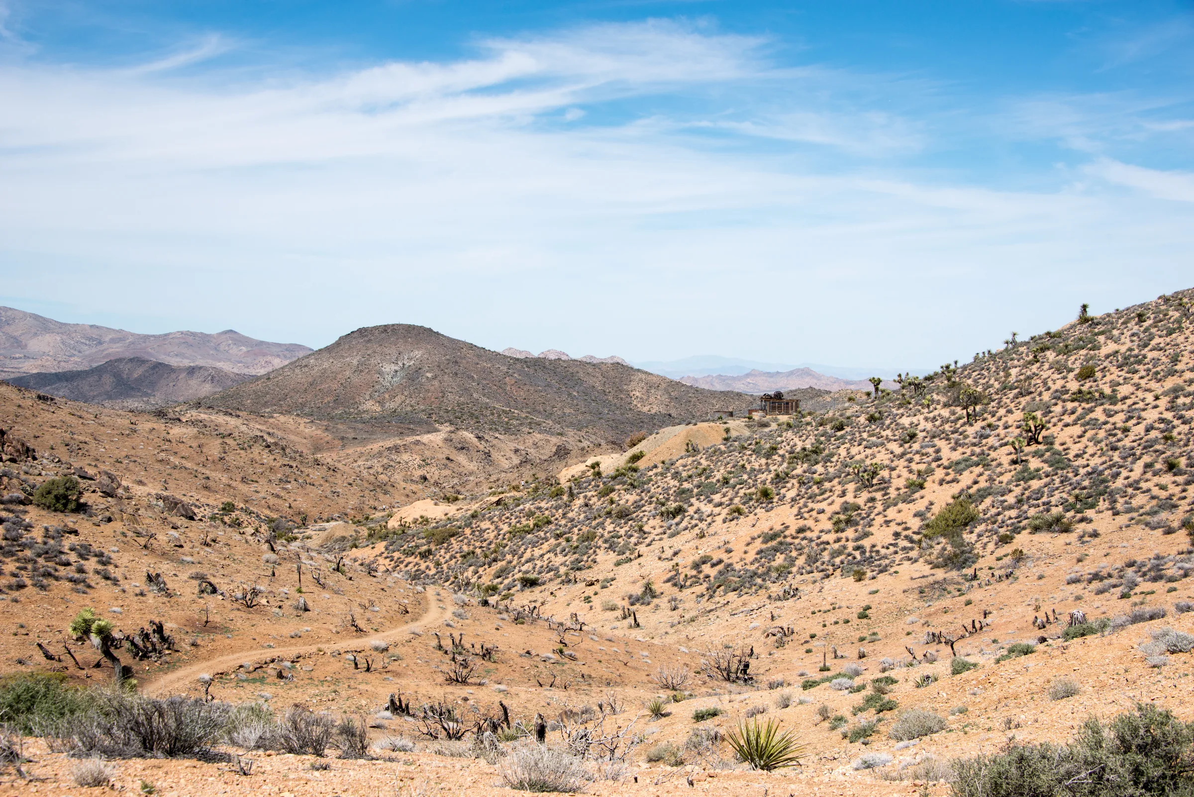
Lost Horse Mine
Lost Horse Mine in Joshua Tree: the 4-mile hike to a preserved ten-stamp mill, the longer loop, the mine's gold-rush history, mine-shaft safety and dog rules.
Read →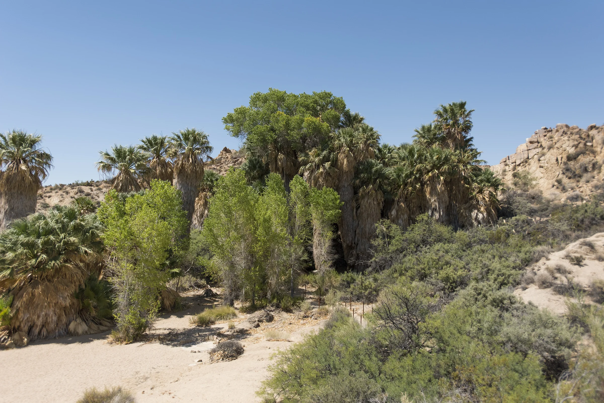
Cottonwood Spring and Mastodon Peak
Cottonwood Spring and Mastodon Peak in Joshua Tree: the palm oasis, the 3-mile loop, the visitor center, Lost Palms Oasis and the long drive from Yucca Valley.
Read →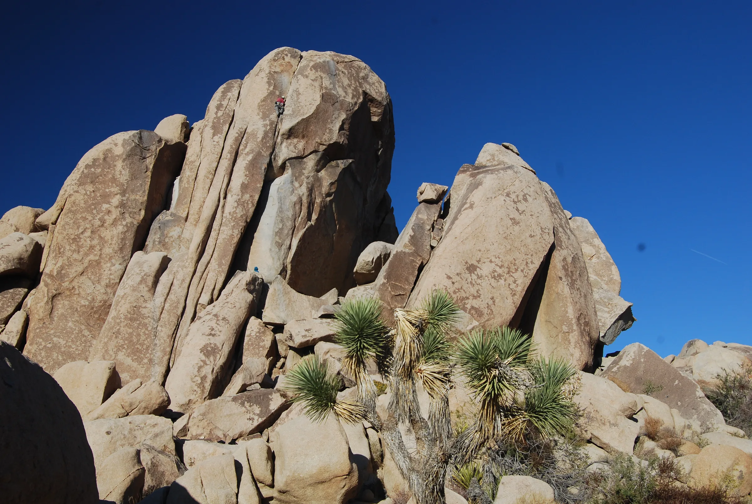
Geology Tour Road
Geology Tour Road in Joshua Tree: the 18-mile dirt road tour, which cars can go how far, the self-guided stops, flash floods and closures, and dog rules.
Read →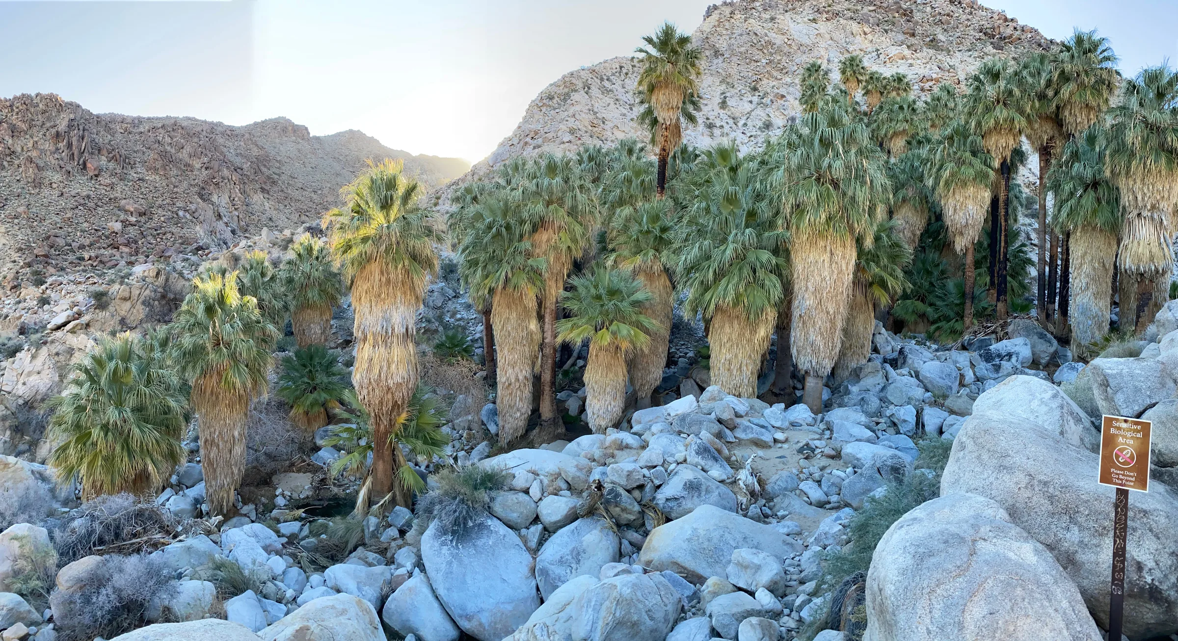
Fortynine Palms Oasis
A 3-mile round-trip hike over a ridge to a grove of desert fan palms off Highway 62. Distance, climb, the summer closure, heat and how to get there.
Read →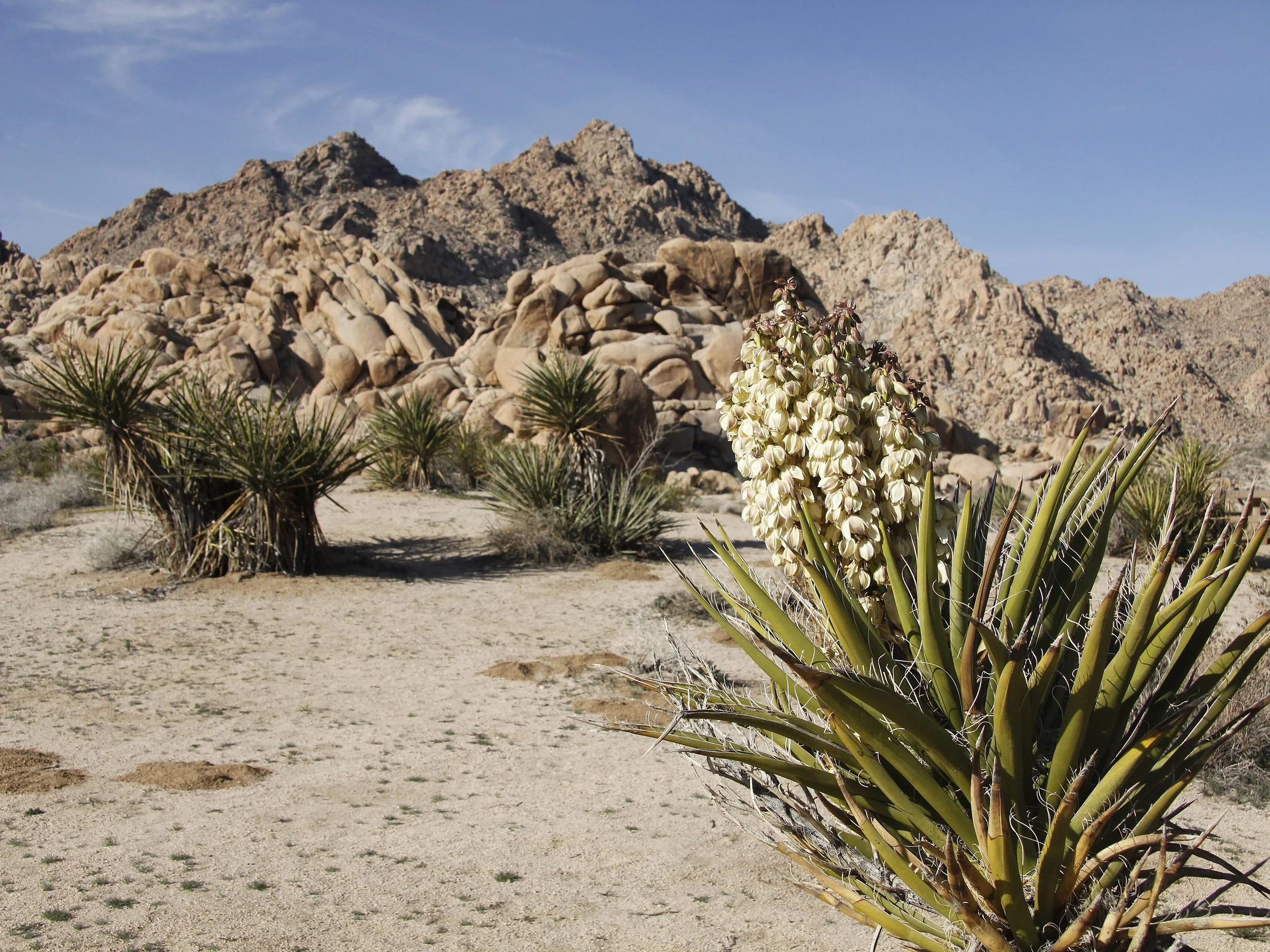
Indian Cove
Indian Cove on Joshua Tree's north edge: the campground, the half-mile nature trail, climbing, Rattlesnake Canyon and how to get there from Highway 62.
Read →Towns & neighbours
Pioneertown
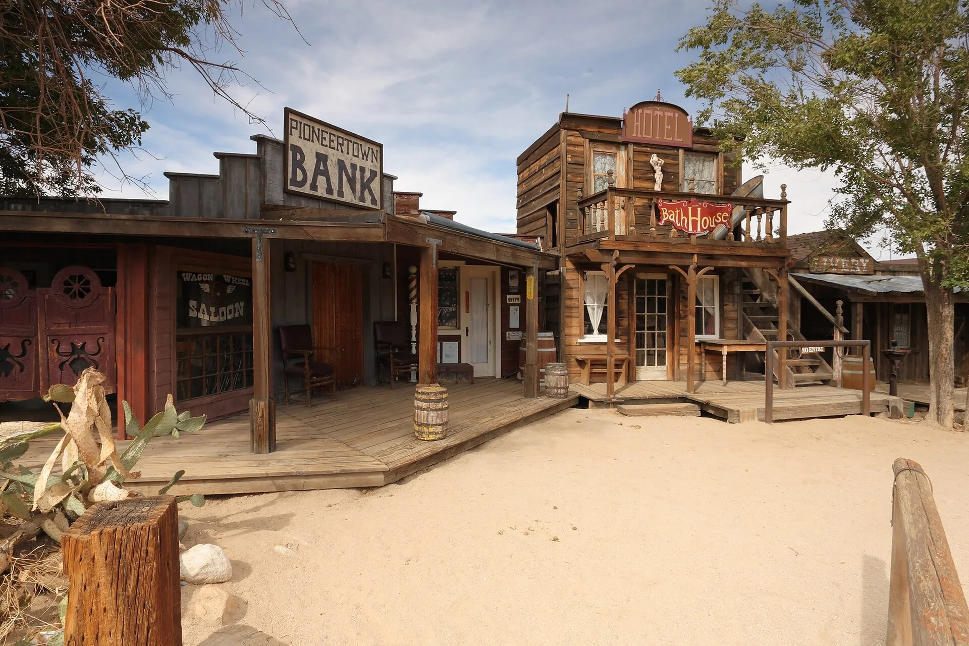
Pioneertown, California: an 1880s movie set built in 1946 that's now a working Old West town. Mane Street, Pappy & Harriet's and how to spend an afternoon, 18 minutes away.
Read →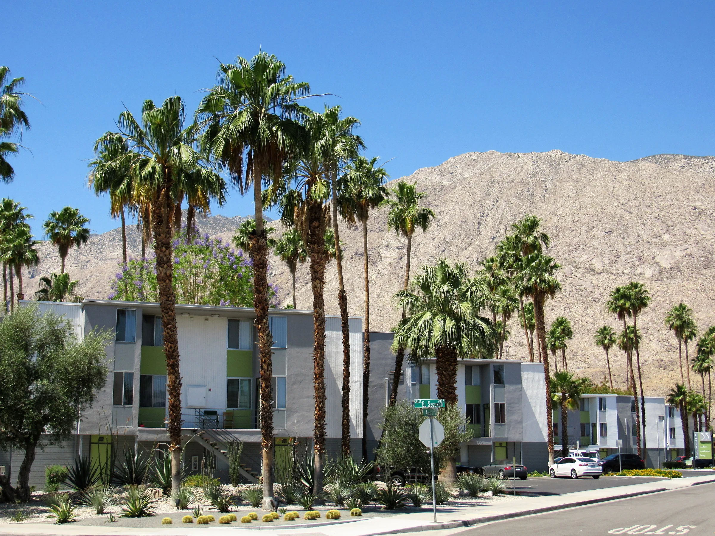
A Palm Springs Day Trip from the High Desert
A Palm Springs day trip from the high desert — the Aerial Tramway, midcentury modern architecture, palm canyons and how to plan around the heat. About 50 minutes away.
Read →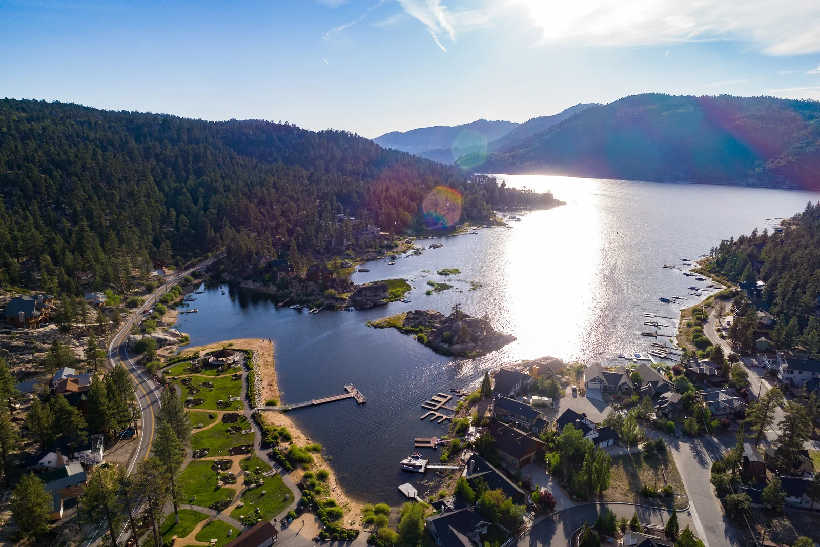
Big Bear & the Mountains: The Alpine Escape
A Big Bear day trip from the high desert — about 90 minutes from cactus to a pine-ringed lake at 6,750 feet. The drive, summer on the water, winter snow, and how to plan it.
Read →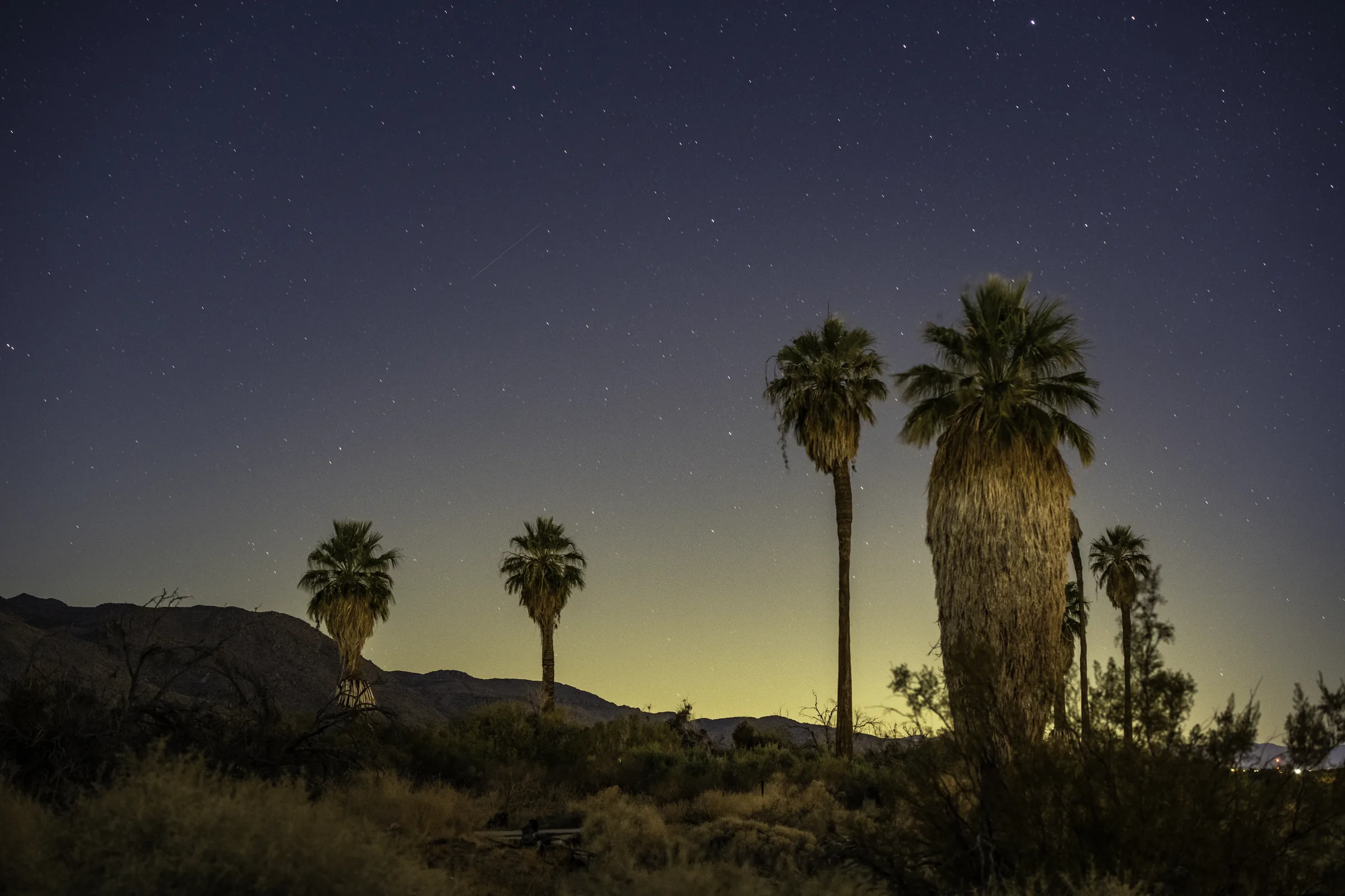
Twentynine Palms & the Oasis of Mara
Twentynine Palms — the park's north gateway town about 30 minutes away: the 9,000-year-old Oasis of Mara, the Oasis of Murals downtown, and the Marine town around them.
Read →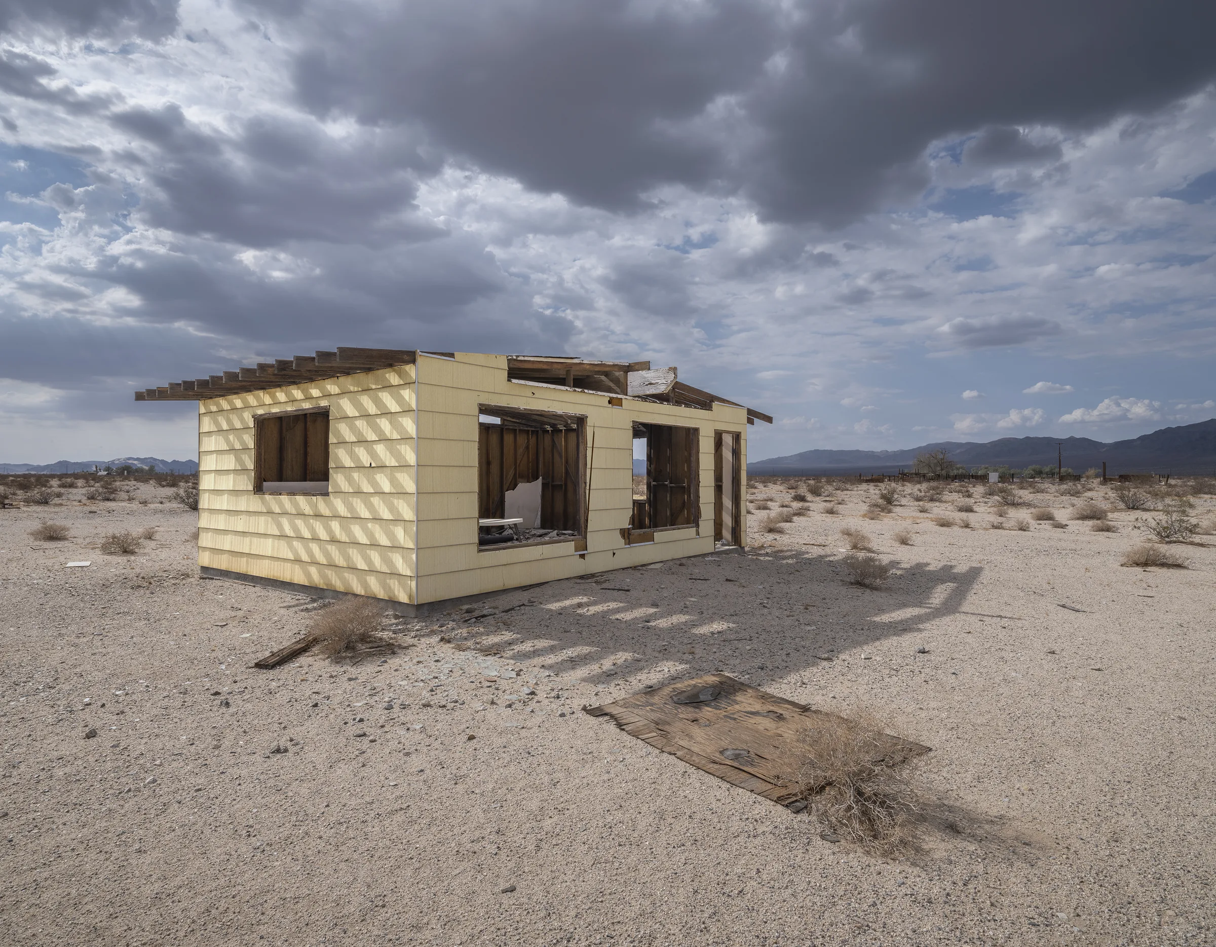
Wonder Valley & the Jackrabbit Homesteads
Wonder Valley, east of Twentynine Palms — hundreds of tiny 'jackrabbit homestead' cabins from the 1938 Small Tract Act, how to see them respectfully, and The Palms roadhouse.
Read →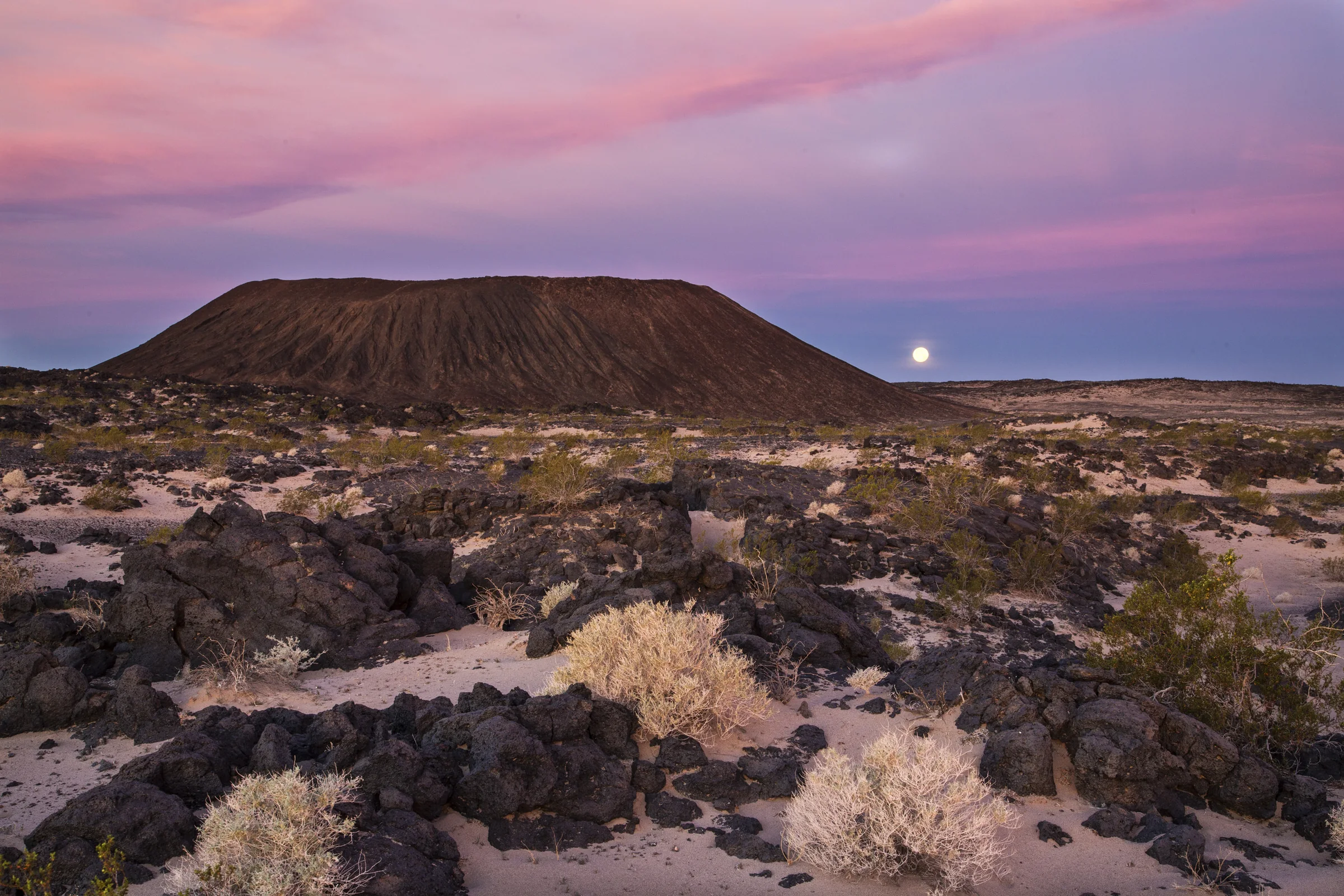
High-Desert Farmers Markets & Provisions
The Wednesday and Saturday farmers markets in Yucca Valley, Joshua Tree and Twentynine Palms, plus where to do a full grocery run on Highway 62.
Read →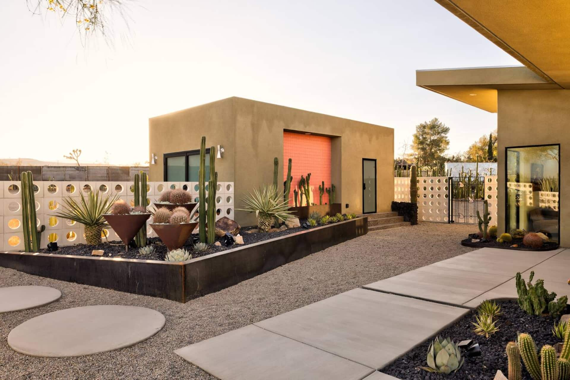
Coffee in the High Desert
Independent cafés open in 2026 in Yucca Valley, Joshua Tree and Twentynine Palms, with roasters, opening times to check, and how to fit coffee into a park day.
Read →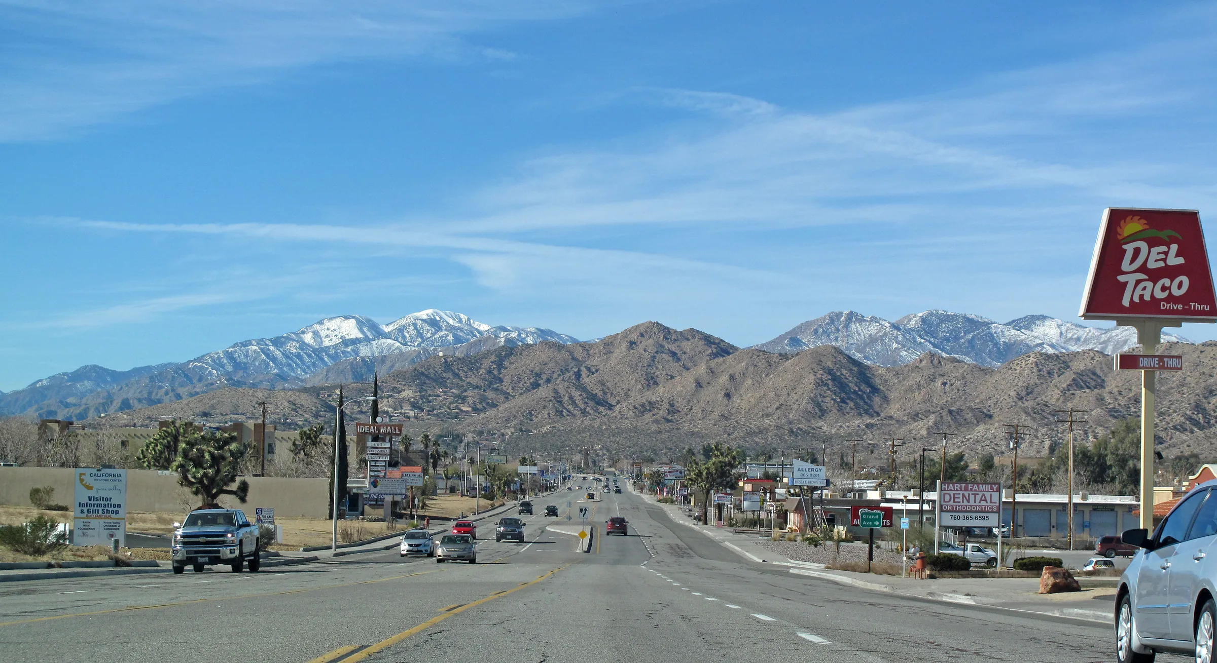
Things to Do in Yucca Valley
Things to do in Yucca Valley near Joshua Tree: Black Rock Canyon, Desert Christ Park, the free nature museum, Old Town cafes and shops, markets and Pioneertown.
Read →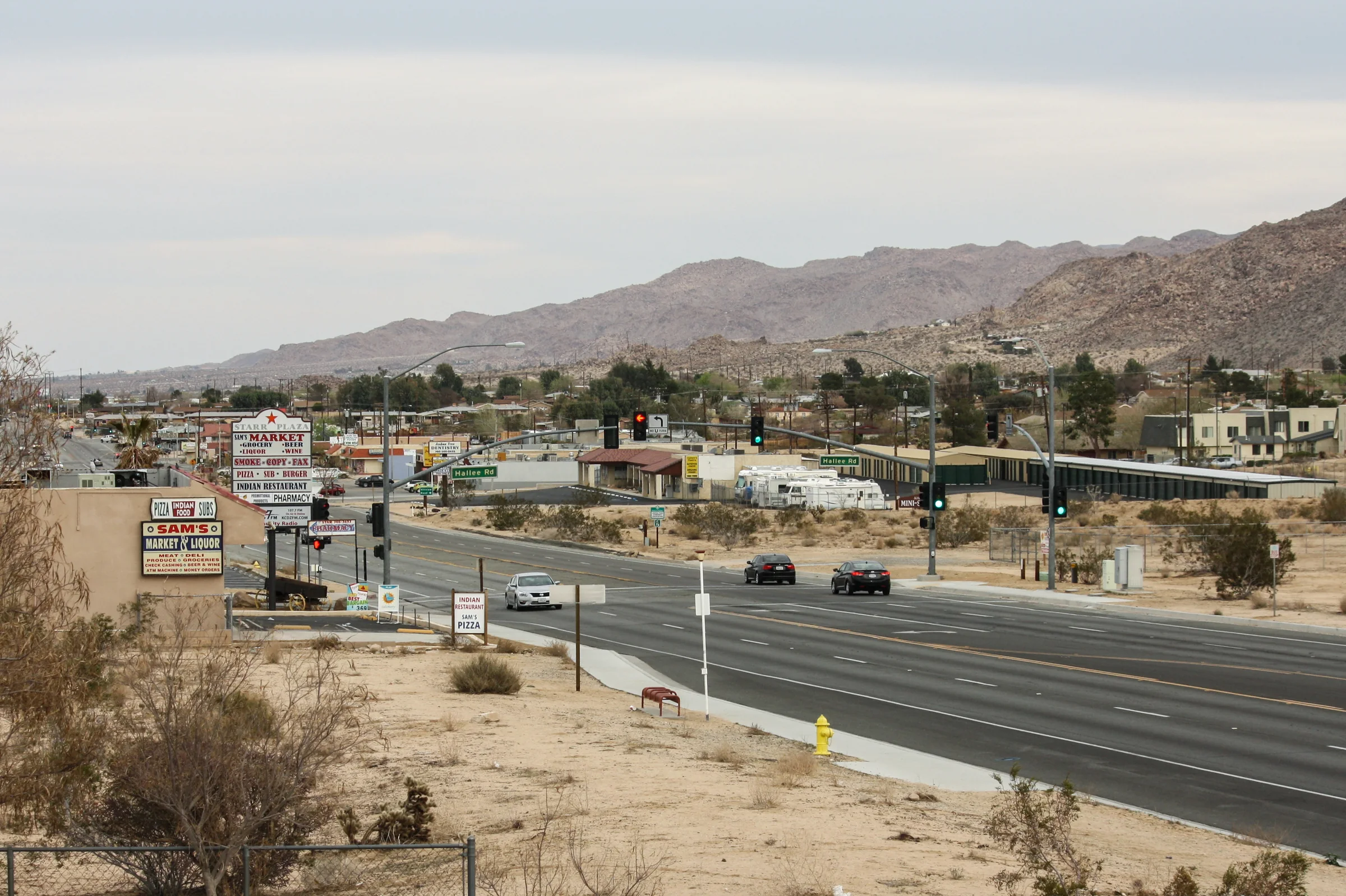
Joshua Tree Village
The town of Joshua Tree at the park's West Entrance: the visitor center, the Crochet Museum, galleries, diners, the Saturday market and a climbing shop.
Read →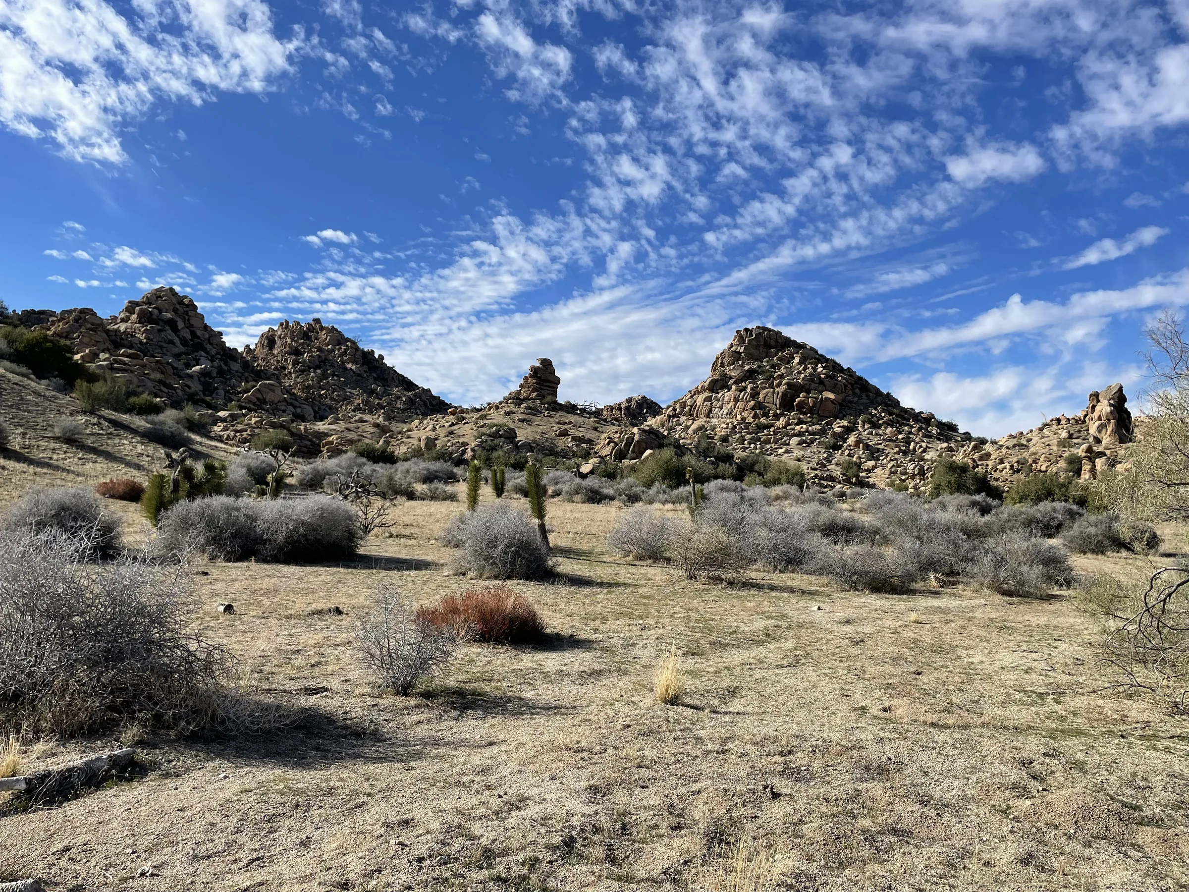
Pioneertown Mountains Preserve
Pioneertown Mountains Preserve: free trails up Pipes Canyon and Chaparrosa Peak, open sunrise to sunset, with leashed dogs allowed. Distances, trailheads, tips.
Read →Art & culture
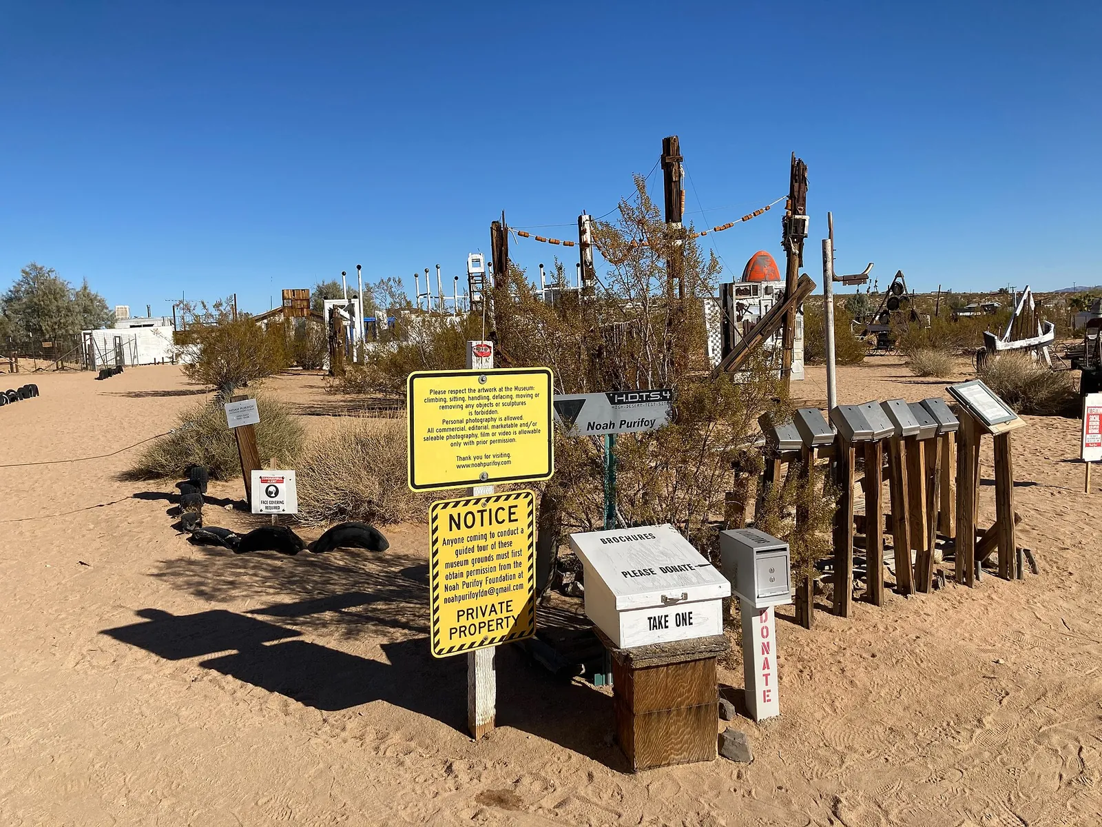
The Noah Purifoy Outdoor Desert Art Museum
The Noah Purifoy Outdoor Desert Art Museum near Joshua Tree — ten acres of assemblage sculpture, free and open daily. Who he was and how to visit respectfully.
Read →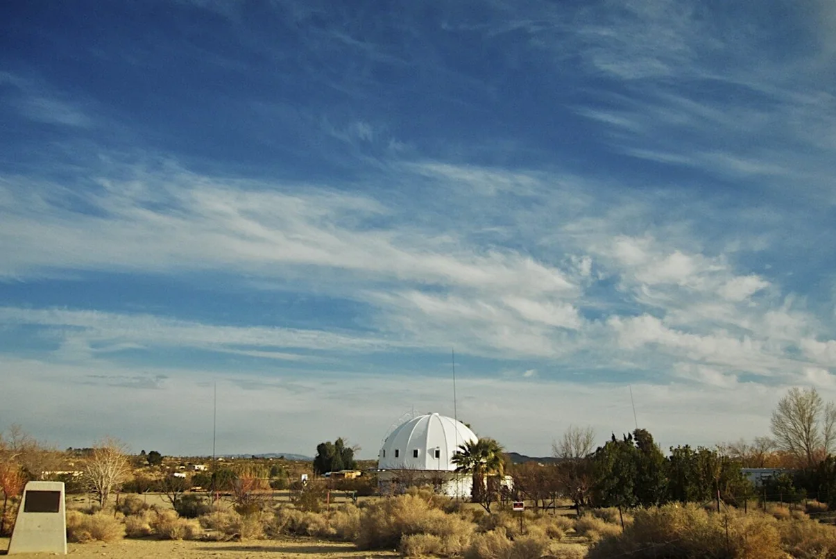
The High-Desert Art Trail: Galleries, Studios & Highway 62
The high desert's art scene — galleries in Joshua Tree and Twentynine Palms, outdoor desert art, and the Highway 62 Open Studio Art Tours each October. How to plan a day.
Read →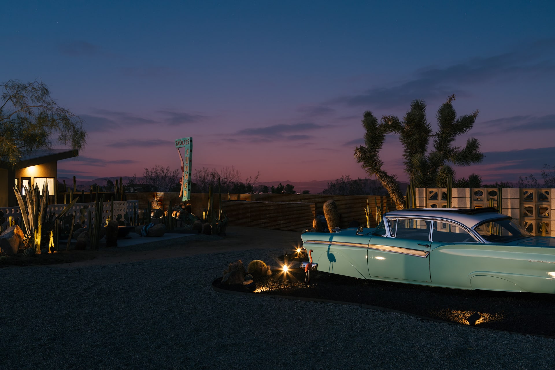
Vintage & Thrift Shopping in the High Desert
Where to hunt for vintage, mid-century and desert-weird treasure around Yucca Valley and Joshua Tree — boutiques, thrift stores and roadside oddities, plus what's still open.
Read →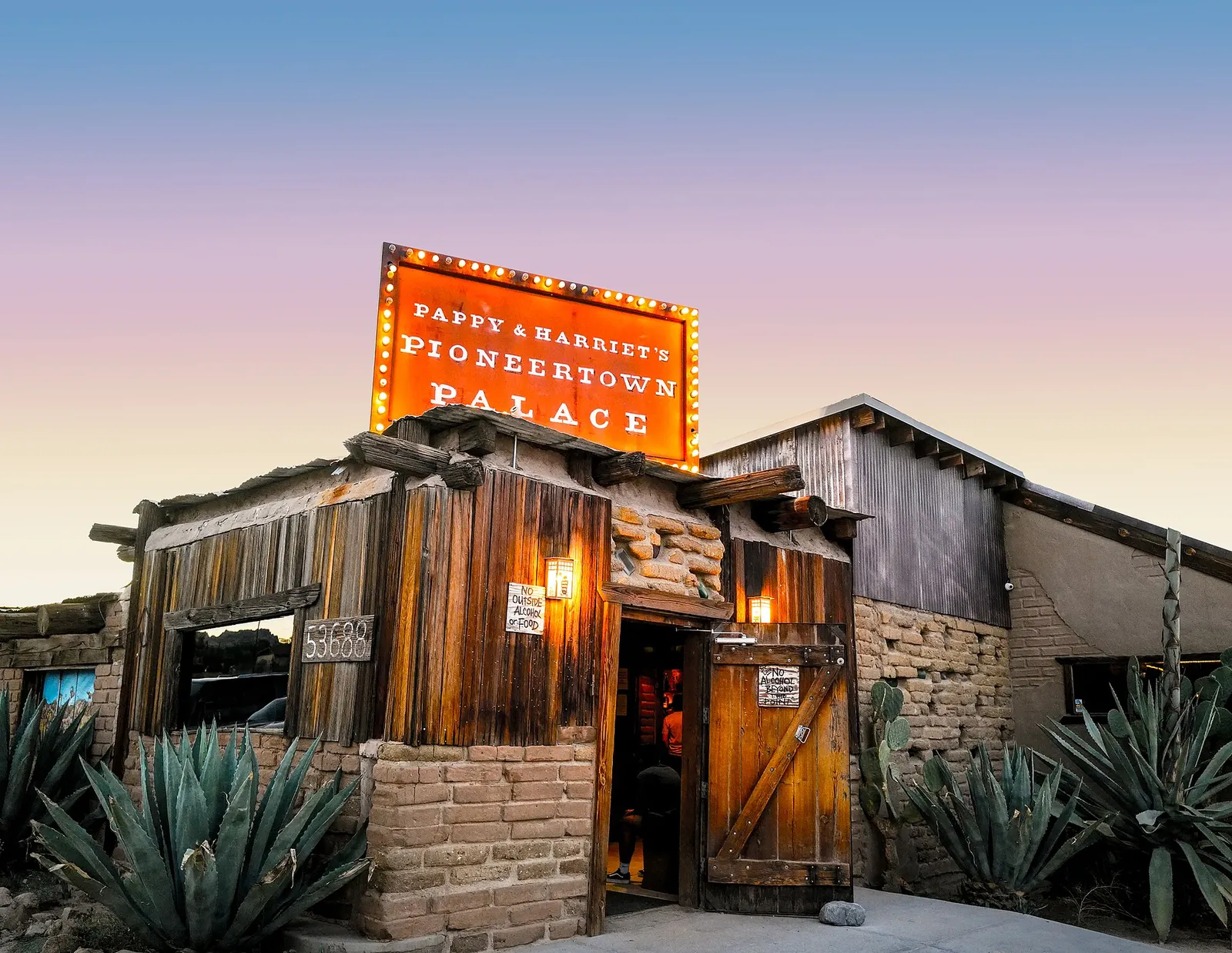
Live Music & Desert Nights
Live music in the high desert — Pappy & Harriet's, the Joshua Tree Music Festival, The Palms in Wonder Valley, and the desert-rock roots of the Mojave. Where to hear it.
Read →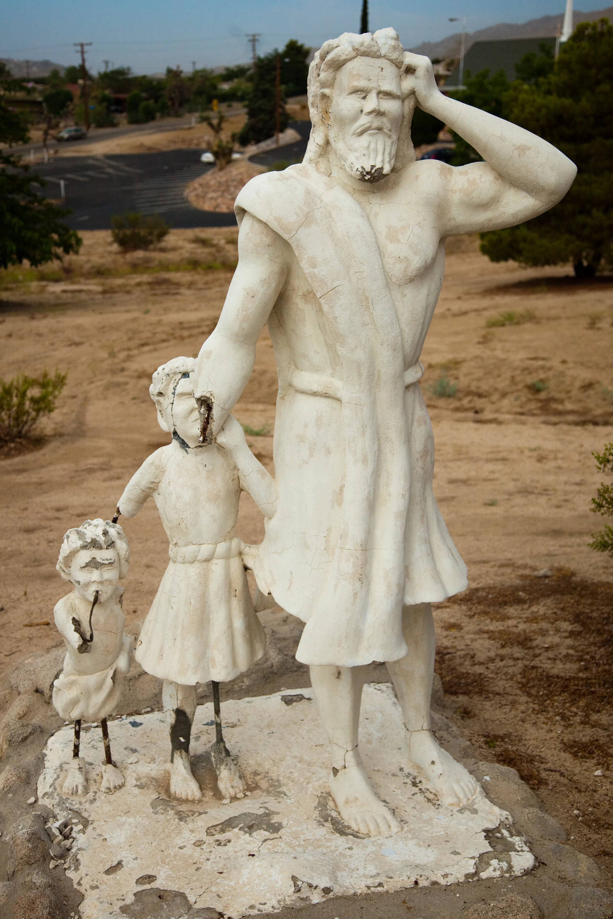
Desert Christ Park, Yucca Valley
Free hillside park in Yucca Valley with more than 40 white concrete sculptures by Antone Martin, dedicated on Easter 1951. Its history, hours and how to visit.
Read →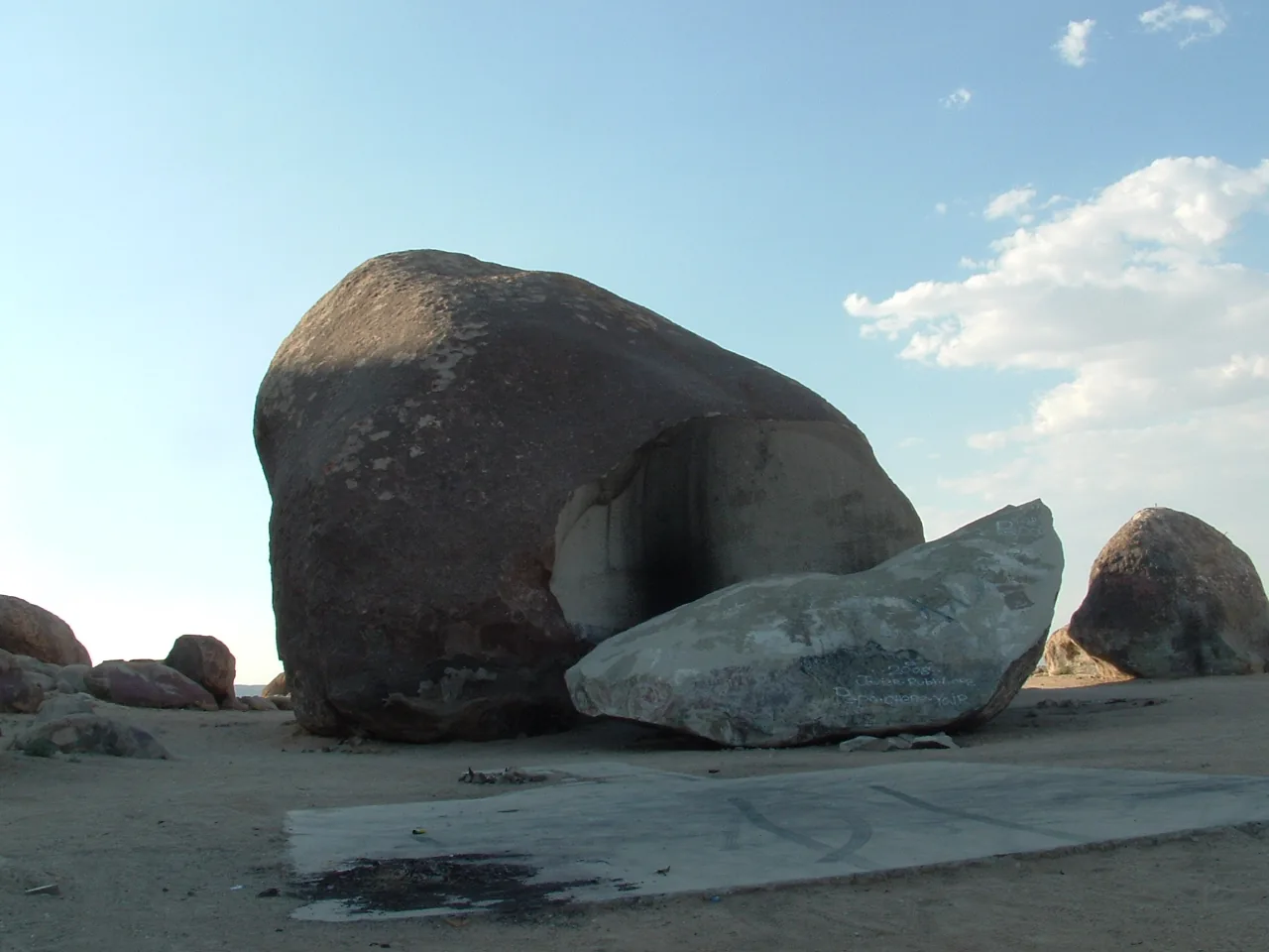
Giant Rock and Landers
Giant Rock, a seven-story boulder on public land north of Landers, and its story: Frank Critzer, George Van Tassel's UFO conventions and the nearby Integratron.
Read →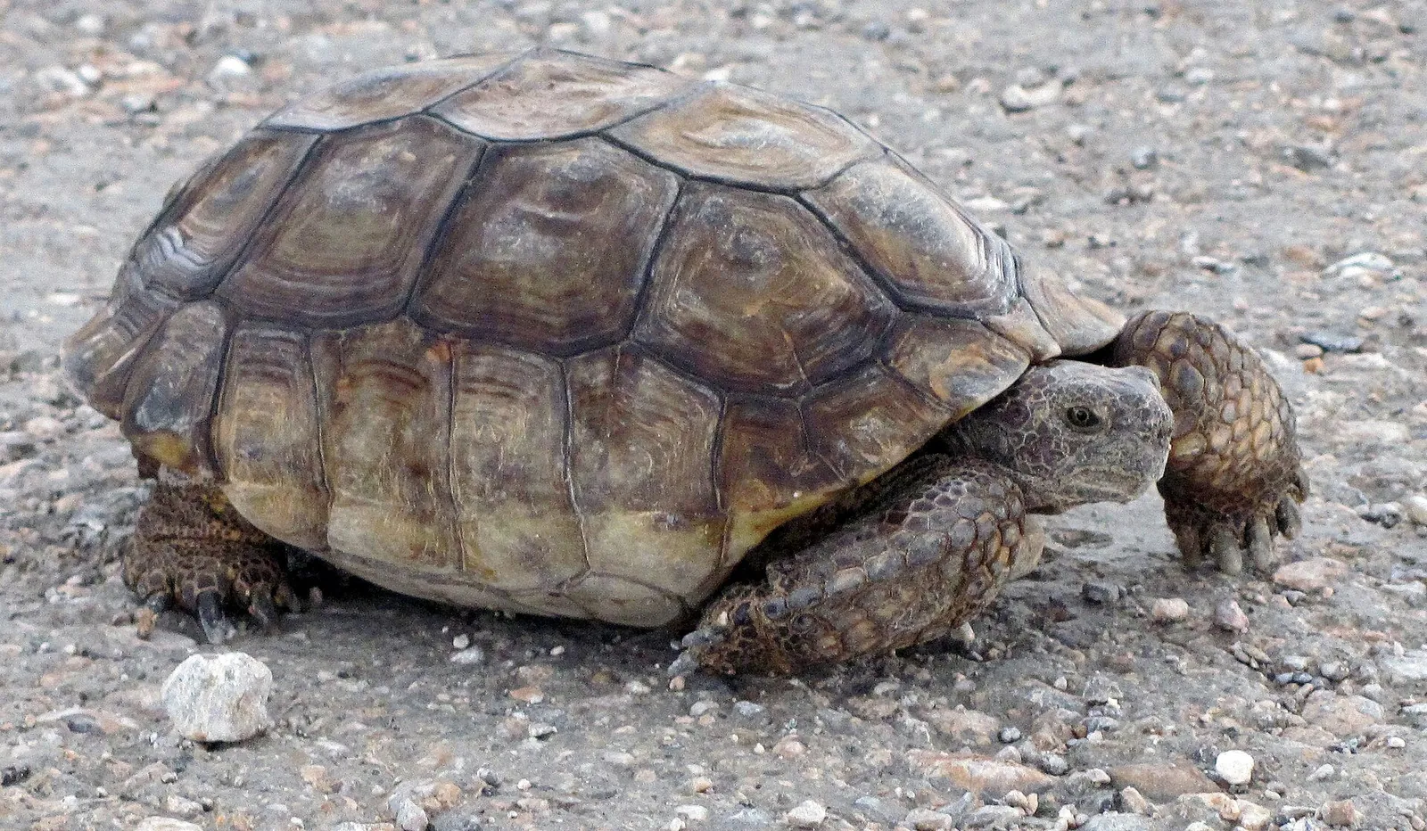
Hi-Desert Nature Museum
The Hi-Desert Nature Museum in Yucca Valley: free natural and cultural history exhibits, a live mini-zoo of native reptiles and a kids' corner. Hours and tips.
Read →Experiences & seasons
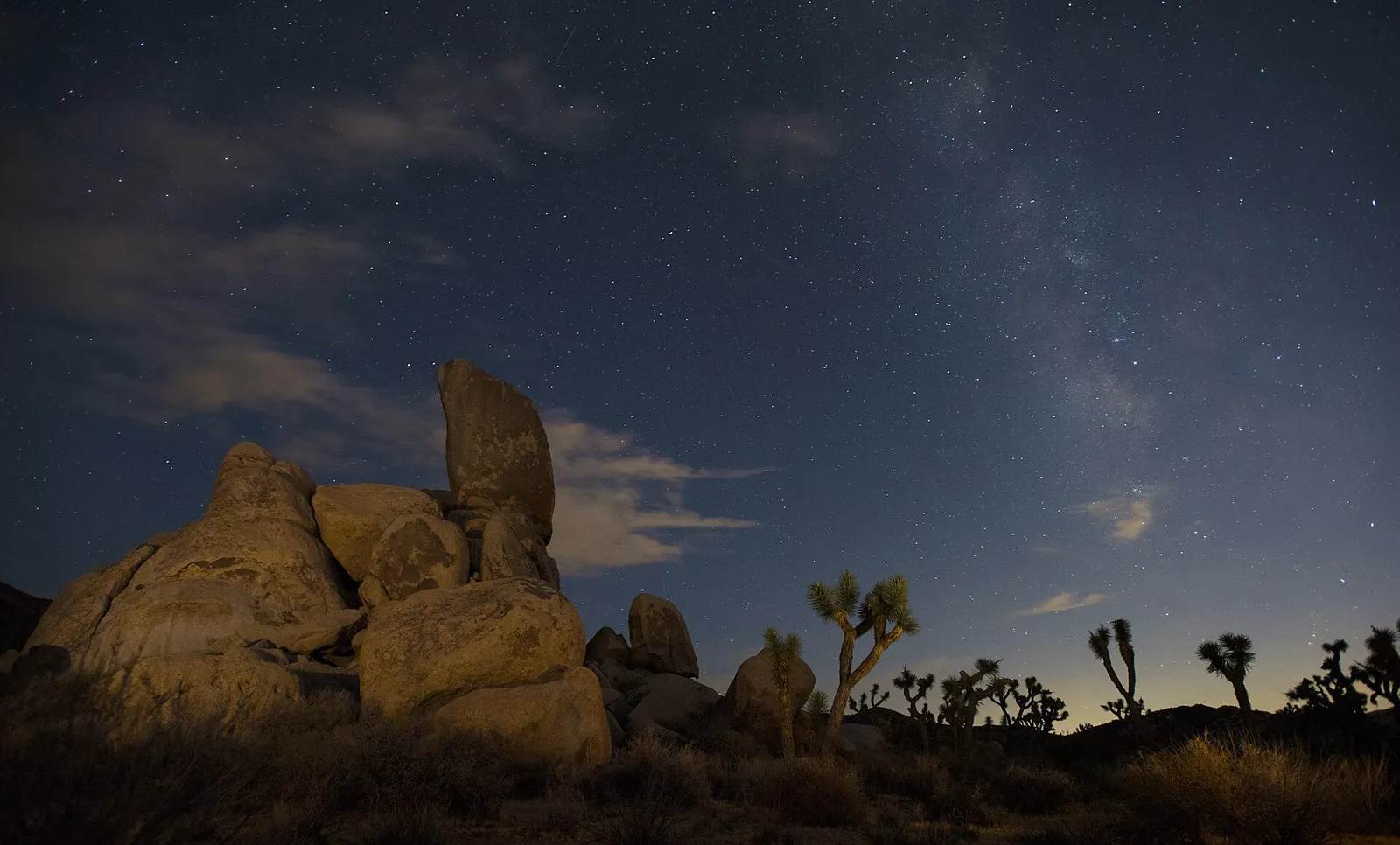
Where to Stargaze near Joshua Tree
Where to stargaze around Joshua Tree — an International Dark Sky Park — from the house itself to park pull-offs, the free Sky's the Limit Observatory and the Night Sky Festival.
Read →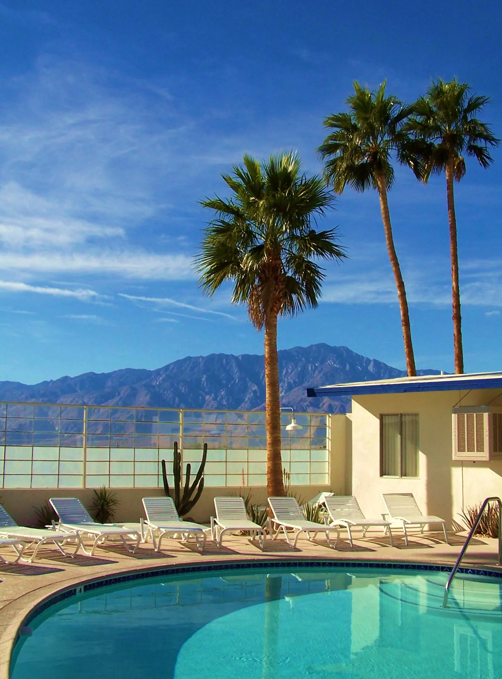
Hot Springs, Spas & Wellness in the High Desert
The high desert's wellness side — the Integratron sound bath, the natural hot mineral springs of Desert Hot Springs, and Joshua Tree's yoga scene. A guide to slowing down.
Read →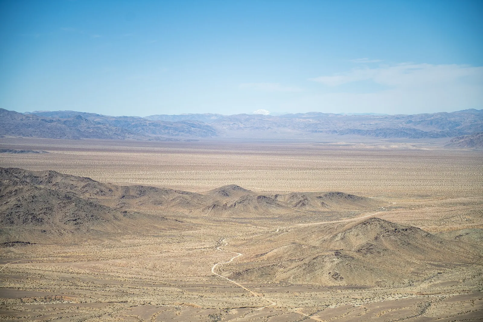
When to Visit: A Month-by-Month Guide
When to visit the high desert around Joshua Tree — an honest, season-by-season guide to the heat, the cold, the crowds and the best times for hiking, blooms and dark skies.
Read →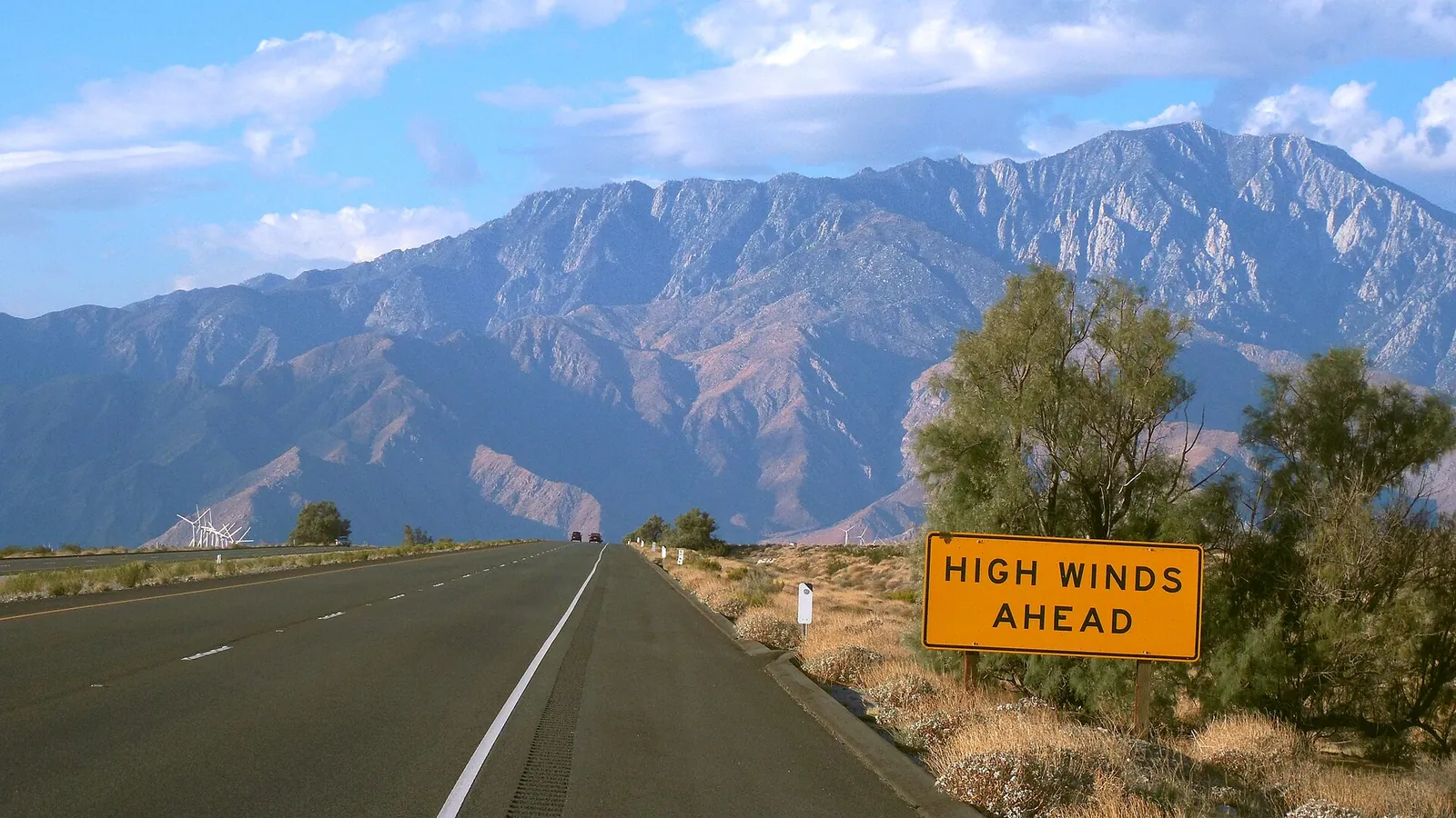
Getting Here: Airports & the Drive Up Highway 62
How to get to Yucca Valley and Stargaze Escape — which airport to choose (Palm Springs, Ontario, LAX), the drive up Highway 62, and why you'll want a rental car.
Read →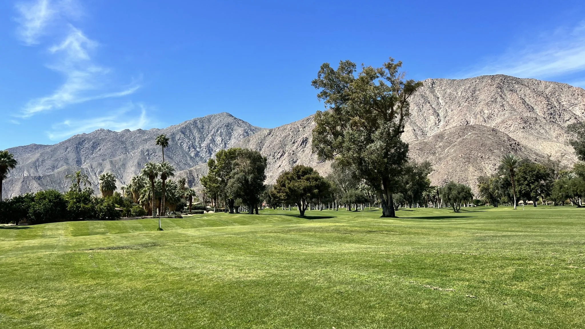
Golf, Tennis & Pickleball
Public golf, tennis and pickleball near the house: Hawk's Landing in Yucca Valley, four Coachella Valley courses, Palm Springs courts and the BNP Paribas Open.
Read →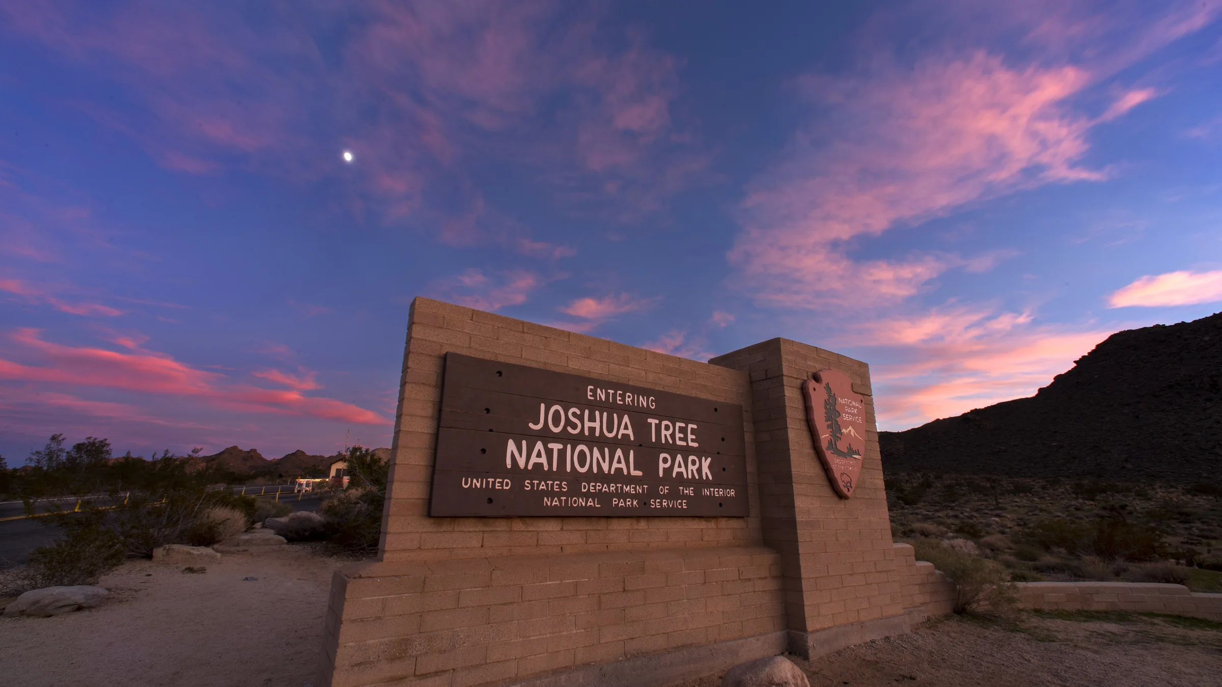
Joshua Tree Entrances and Fees
Joshua Tree National Park's three entrances, four visitor centers, 2026 entrance fees and passes, and which entrance to use from Yucca Valley on a busy day.
Read →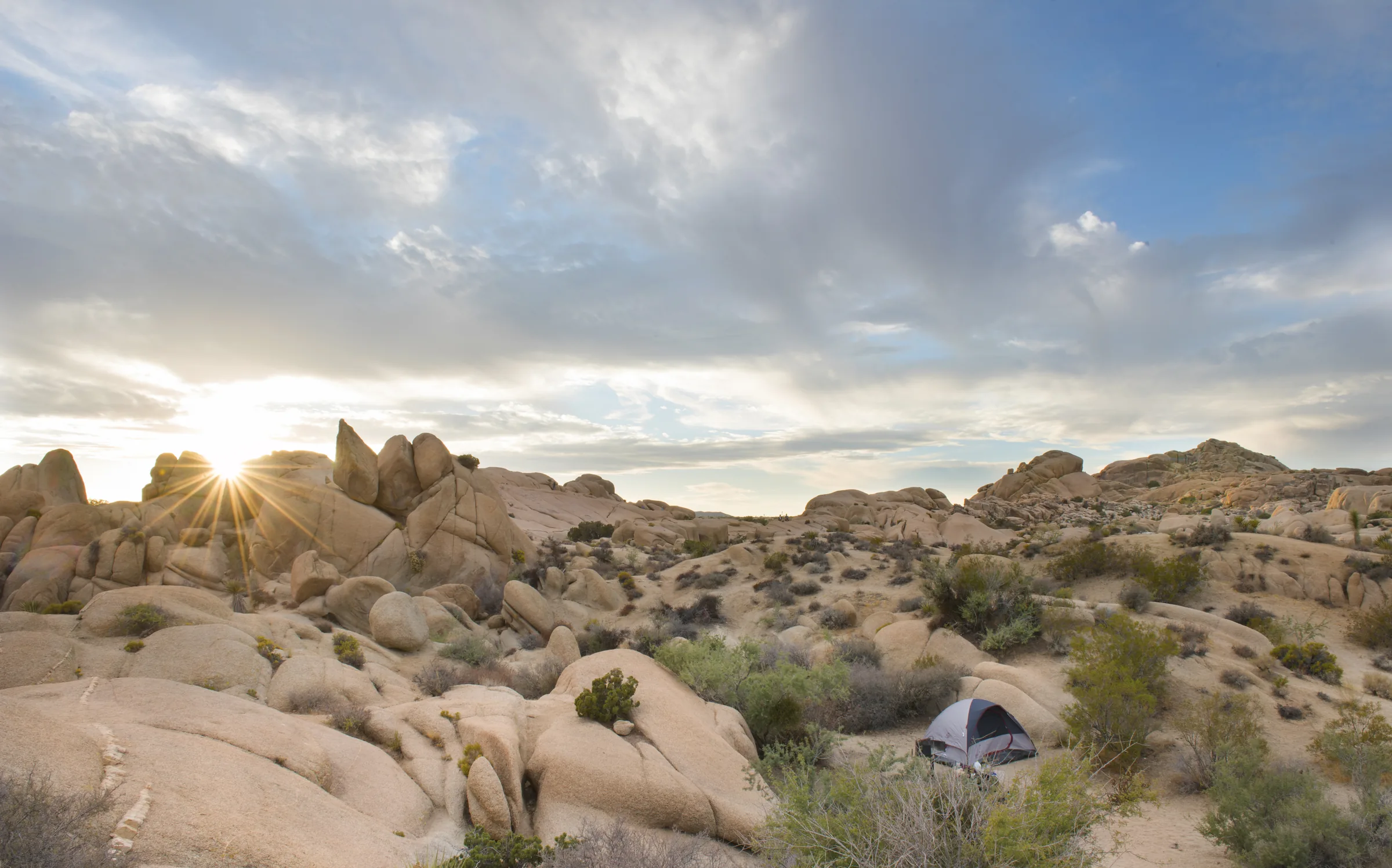
Camping in Joshua Tree
Joshua Tree National Park's nine campgrounds: which take reservations on Recreation.gov, which are first-come, summer closures, water, fire rules and limits.
Read →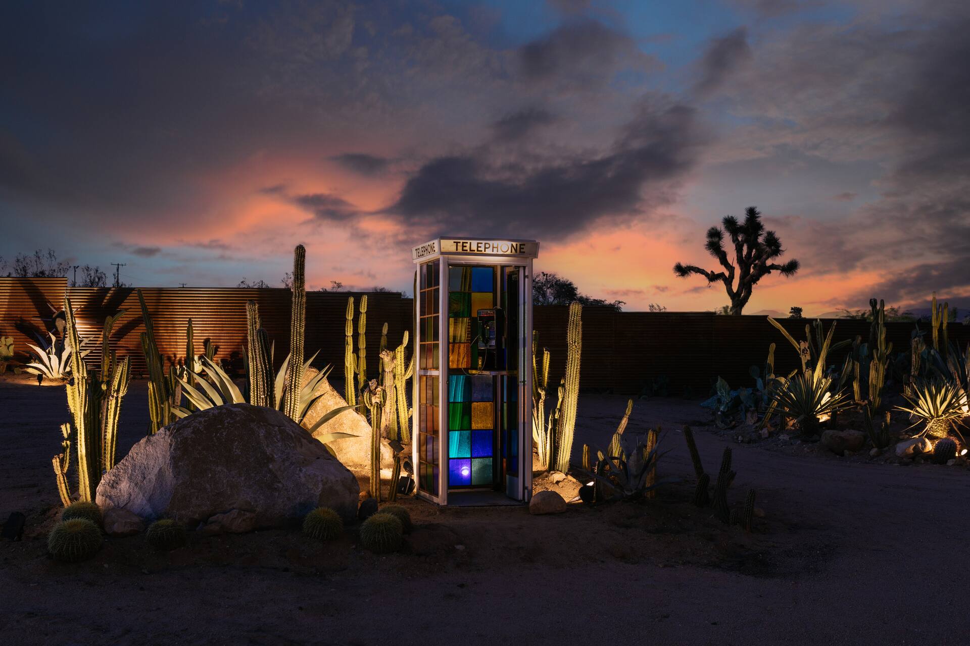
High Desert Events Through the Year
Annual events near Yucca Valley and Joshua Tree, month by month: Grubstake Days, the Hwy 62 Art Tours, the Night Sky Festival, music festivals and Pioneer Days.
Read →Day trips
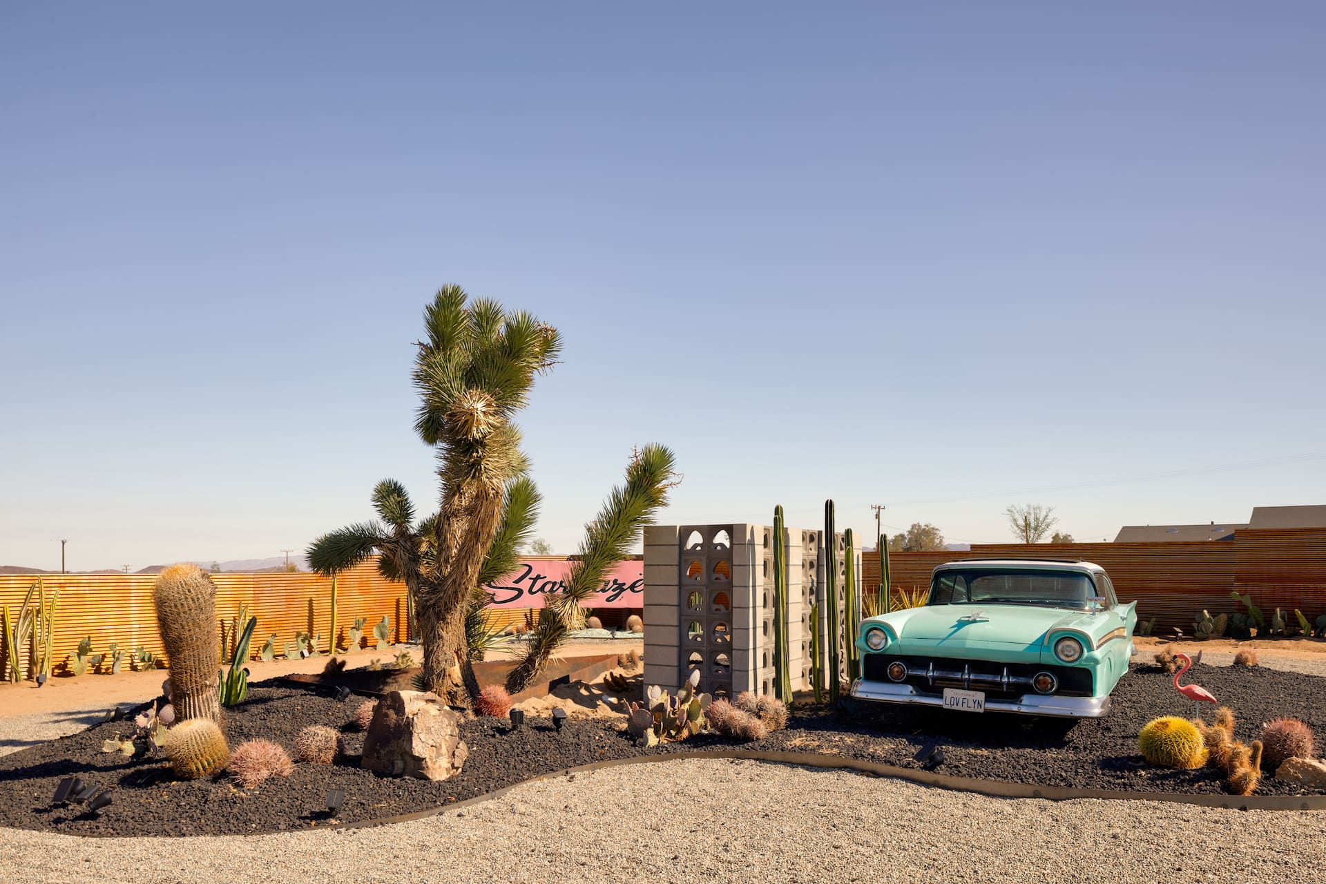
Coachella & Stagecoach: Basing Yourself in the High Desert
Staying up in the high desert for Coachella or Stagecoach — a calmer, often cheaper base about an hour from the Indio polo fields. The trade-offs, the traffic and how to plan.
Read →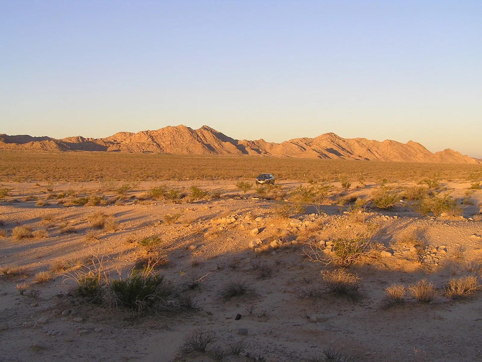
Three Classic Desert Road Trips
Three classic road trips from the high desert — Route 66 and Roy's Café at Amboy, the surreal Salton Sea and Salvation Mountain, and an easy Pioneertown loop. Distances and desert-driving tips.
Read →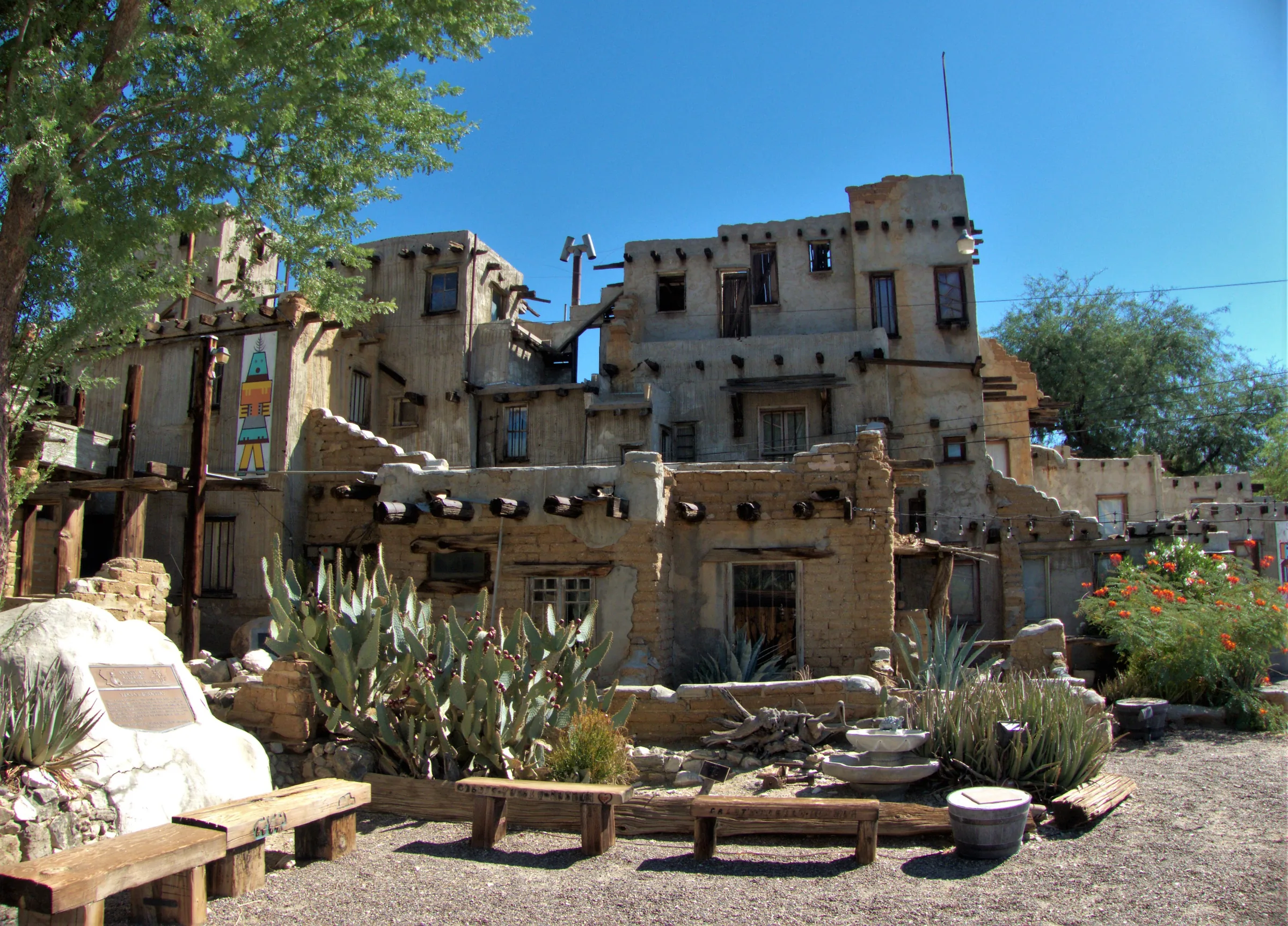
Cabot's Pueblo Museum, Desert Hot Springs
Cabot Yerxa's hand-built, Hopi-inspired pueblo in Desert Hot Springs: 35 rooms of reclaimed materials, guided tours, 2026 hours and prices, and nearby stops.
Read →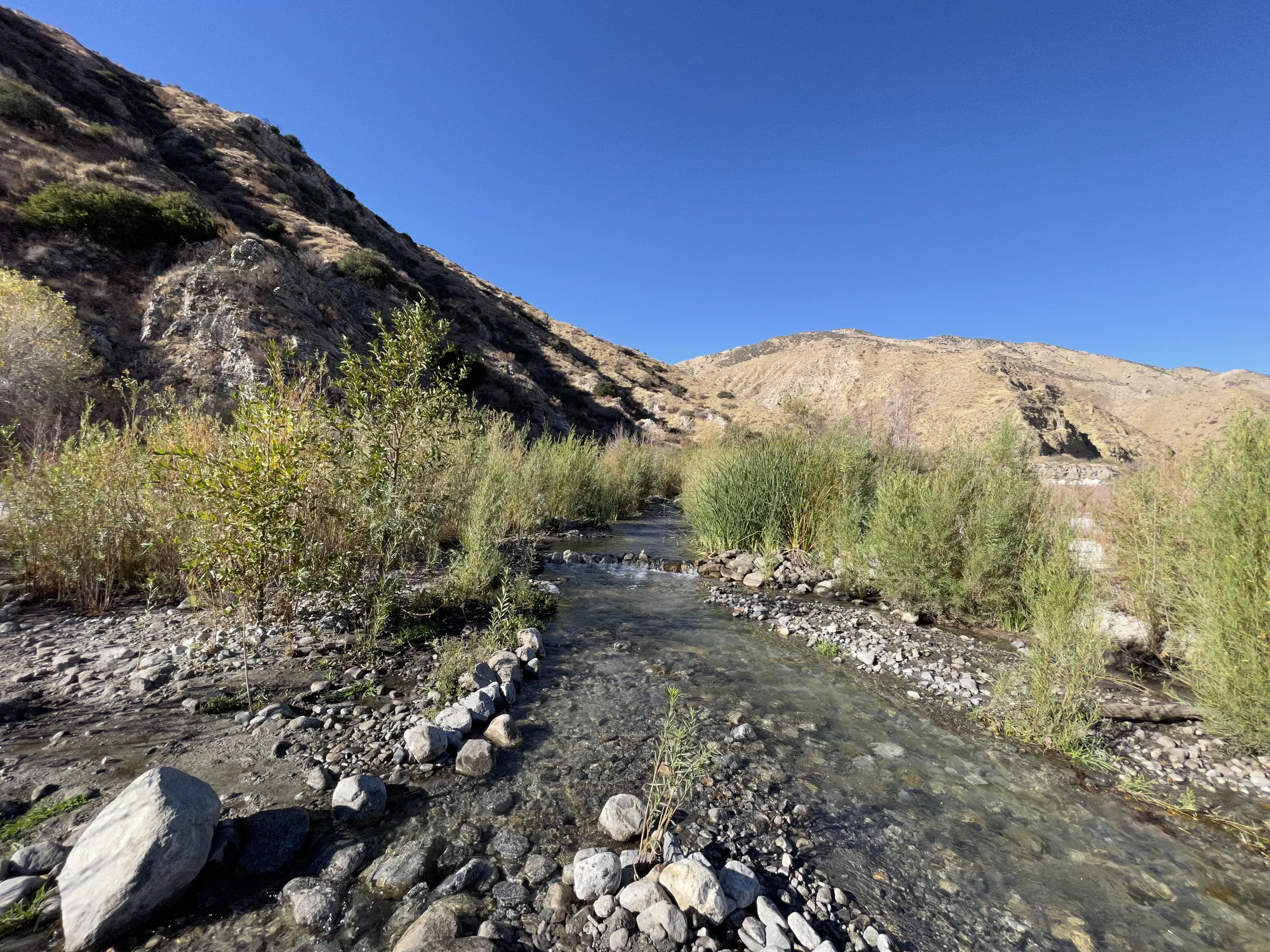
Whitewater Preserve
A free canyon preserve with a year-round river, shaded picnic lawns and trails to the Pacific Crest Trail, under an hour from Yucca Valley. Dogs welcome.
Read →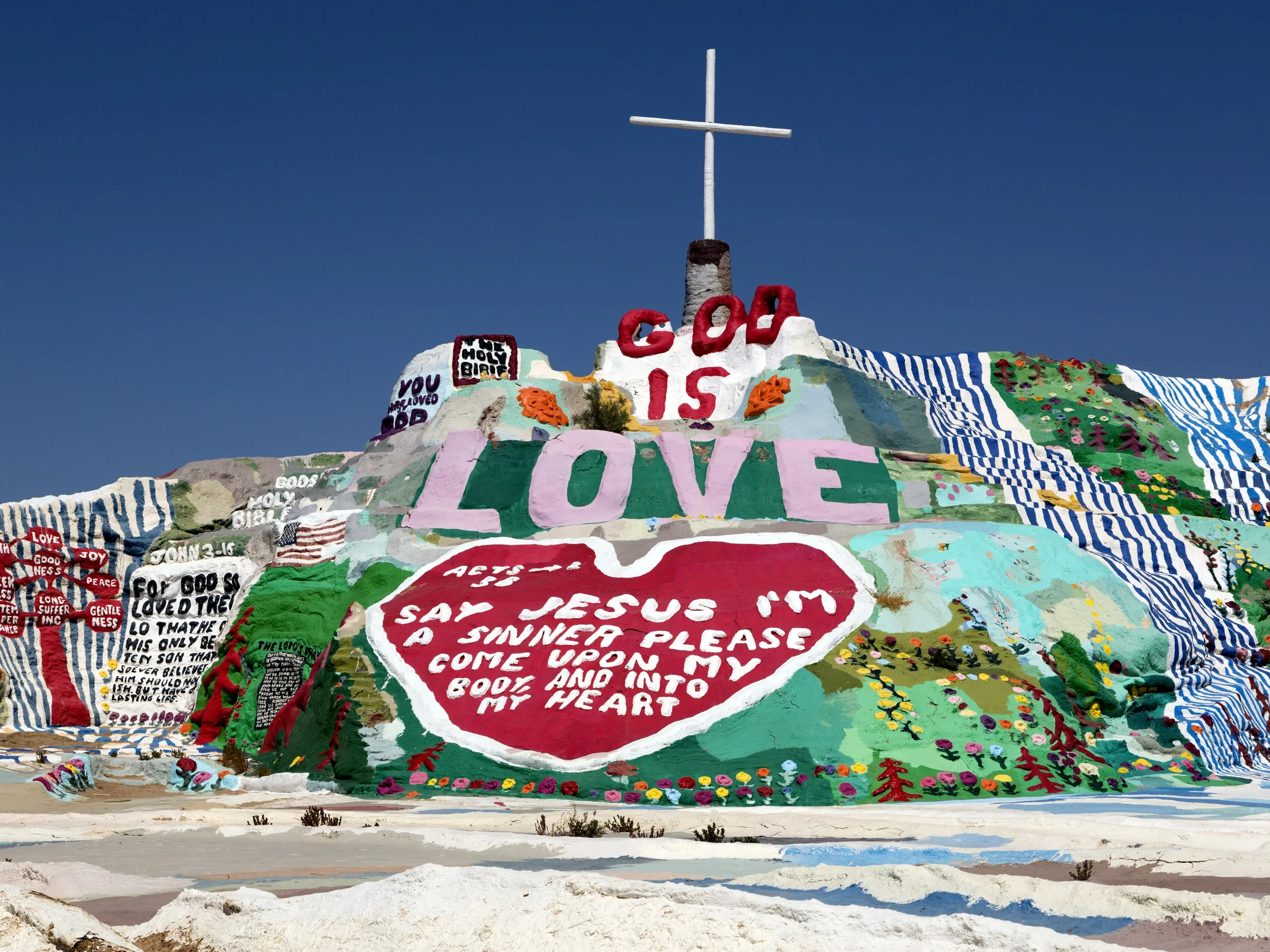
Salvation Mountain & the Salton Sea
A long day trip to Leonard Knight's painted Salvation Mountain, Slab City and the shrinking Salton Sea, with drive times, site rules and cool-season advice.
Read →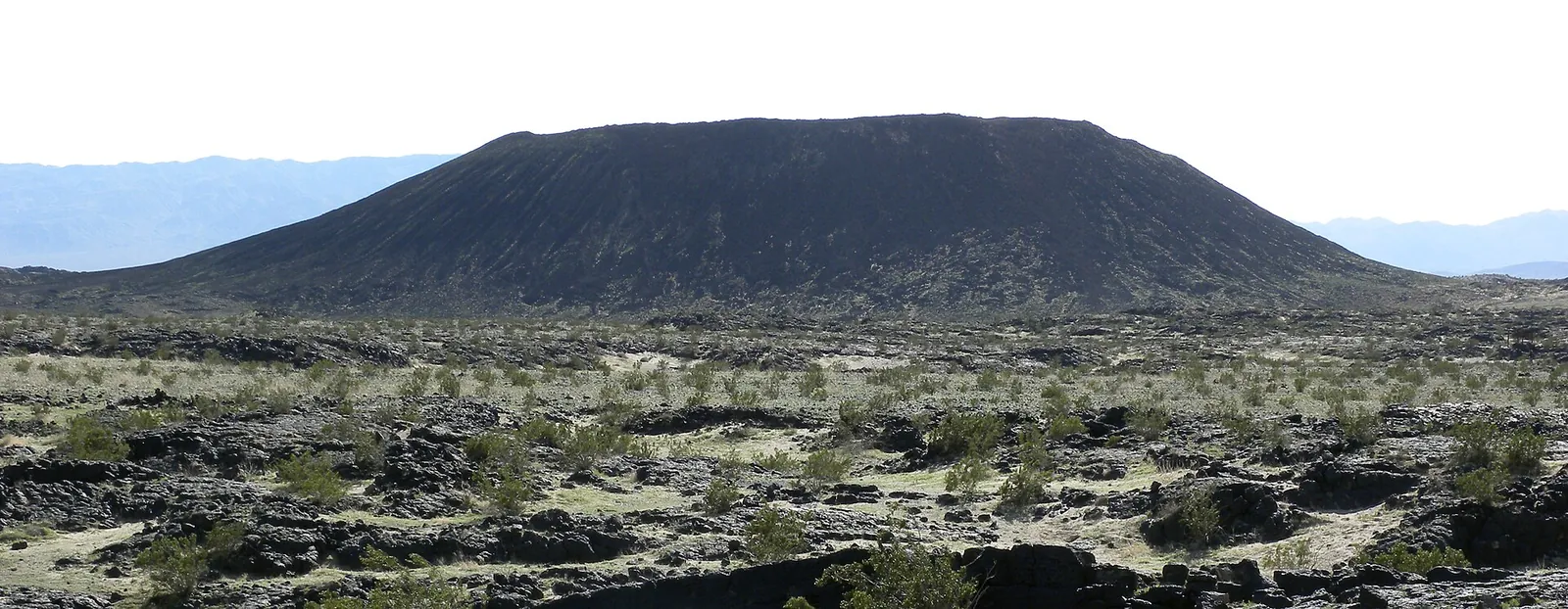
Amboy Crater & Route 66
Hike into Amboy Crater, a 250-foot cinder cone off old Route 66, then stop at Roy's in Amboy. Drive times, trail facts, heat and road notes from Yucca Valley.
Read →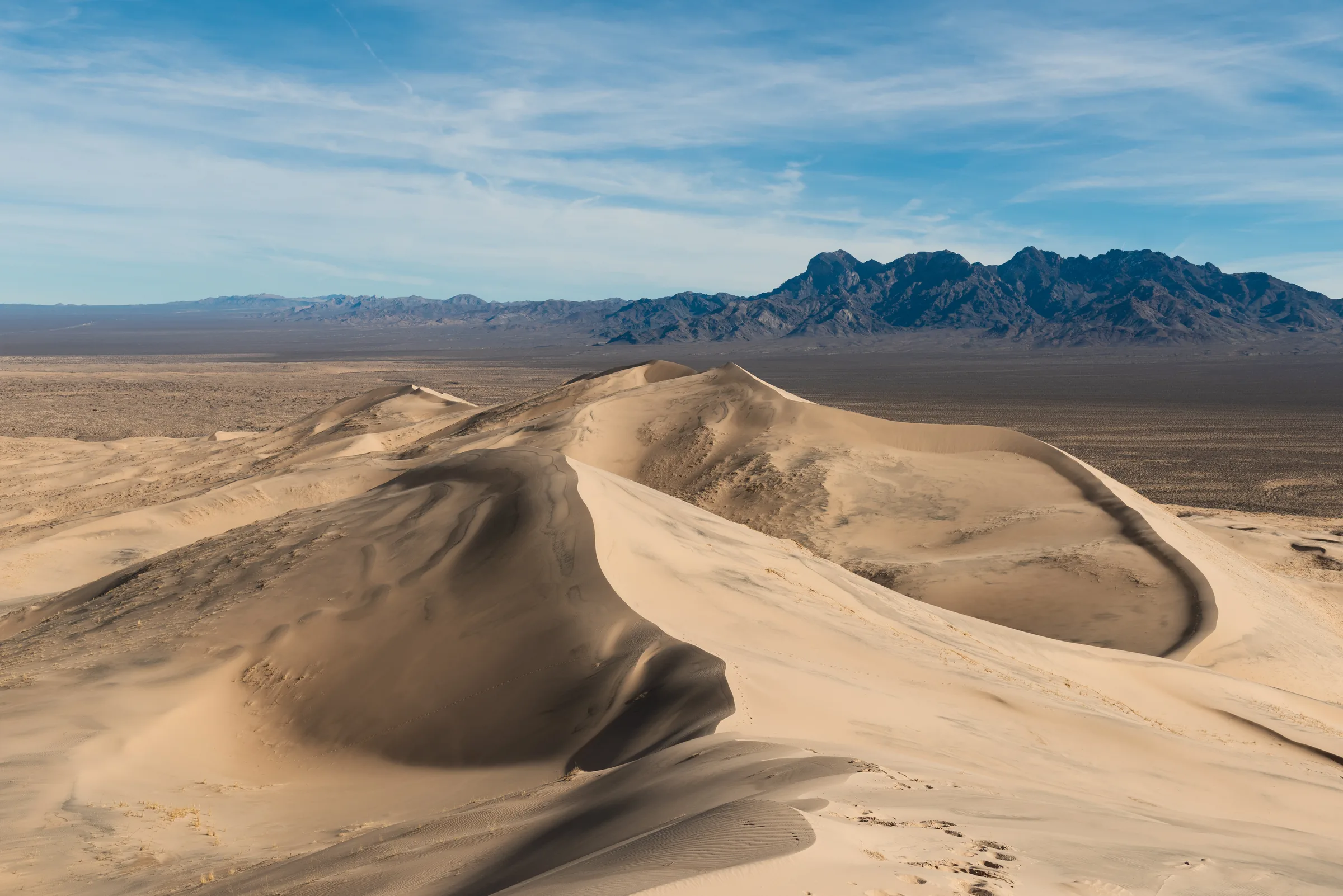
Mojave National Preserve & the Kelso Dunes
A full day in Mojave National Preserve: the 3-mile Kelso Dunes climb, booming sand, Kelso Depot and the cinder cones, with drive times and current road notes.
Read →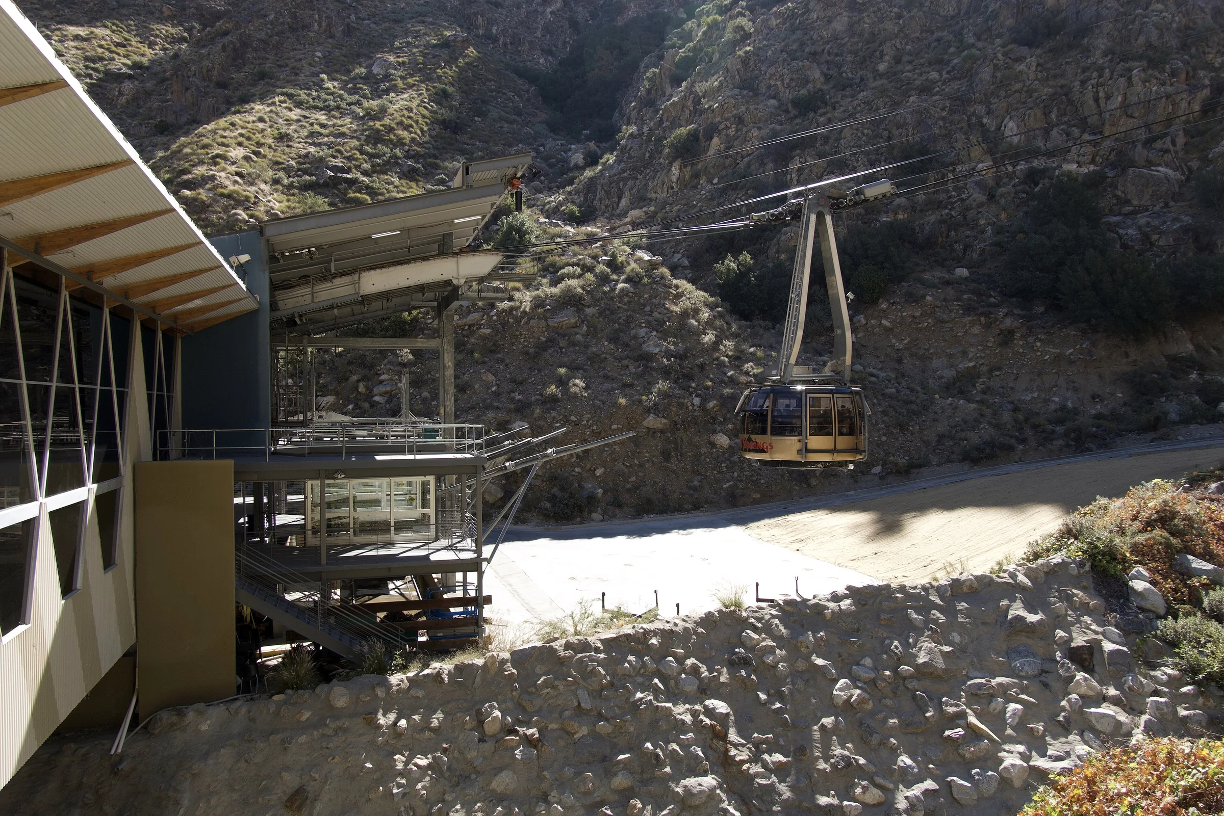
Palm Springs Aerial Tramway
The Palm Springs Aerial Tramway rides 10 minutes up Chino Canyon to 8,516 feet and Mount San Jacinto State Park's trails. About 50 minutes from the house.
Read →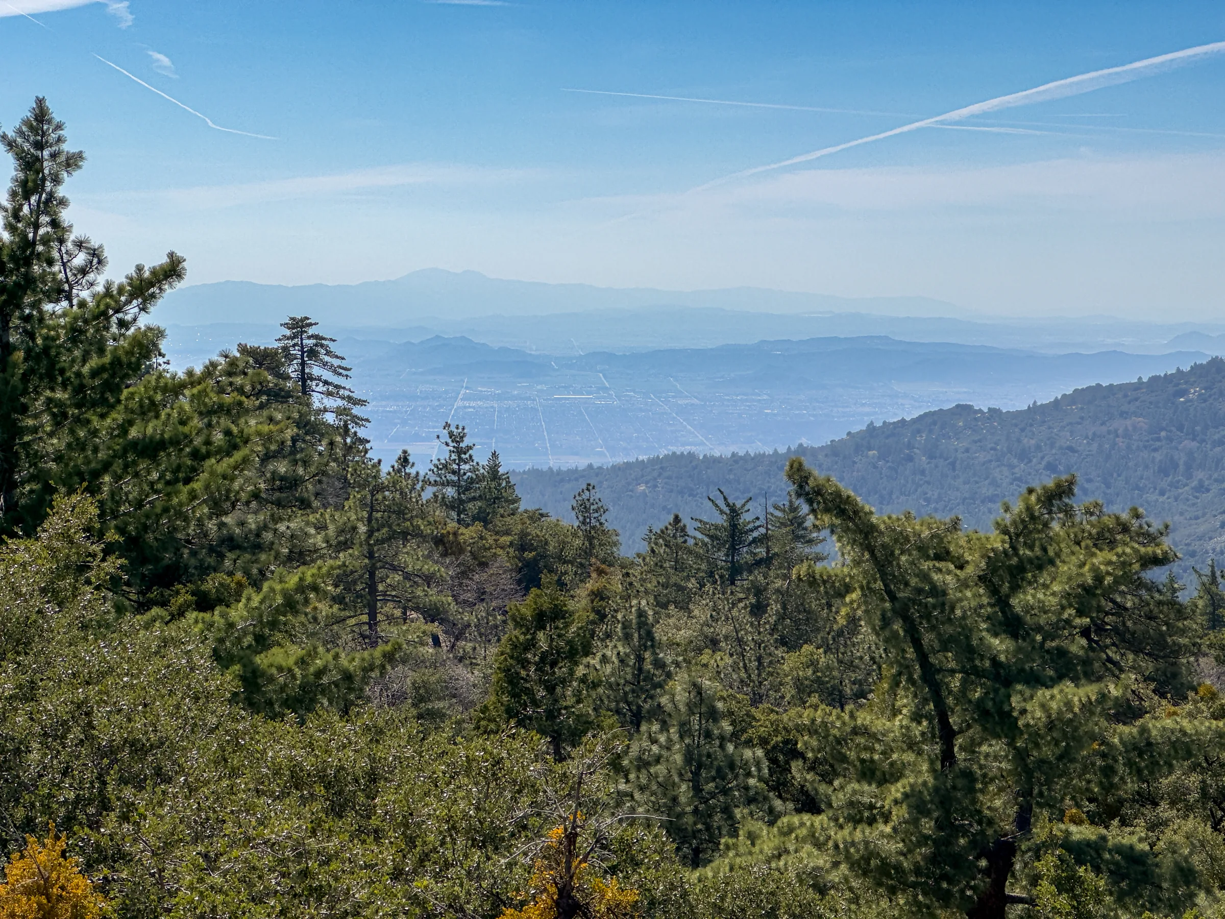
A Day Trip to Idyllwild
Idyllwild is a forest mountain town at about 5,400 feet, roughly 90 minutes from the house via Highway 243. Routes, Humber Park trails, permits and the town.
Read →Month by month
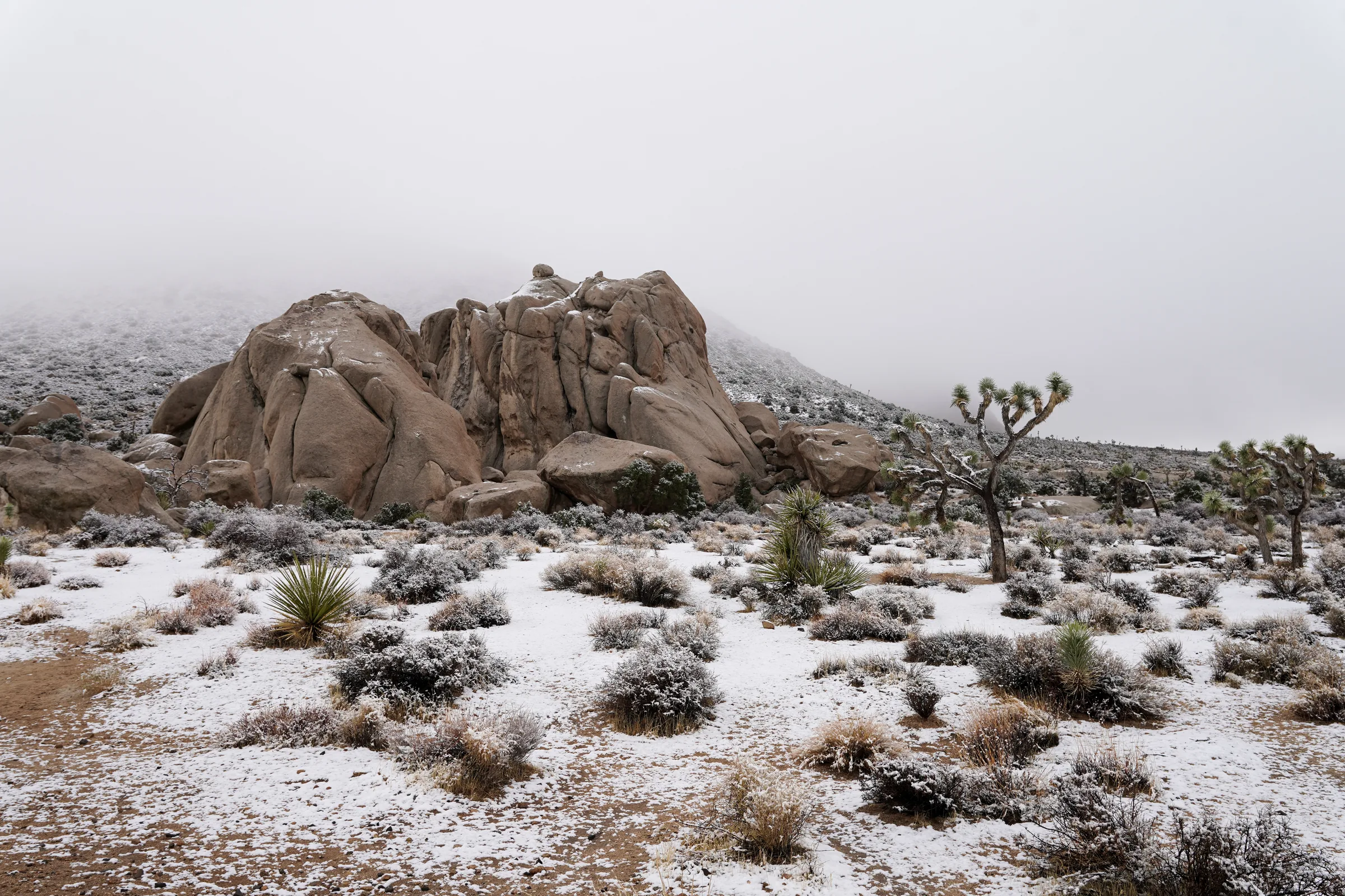
Joshua Tree in January
Joshua Tree in January: NOAA weather normals for Yucca Valley, short days, snow and road closures, crowd numbers, the Quadrantids and Palm Springs events.
Read →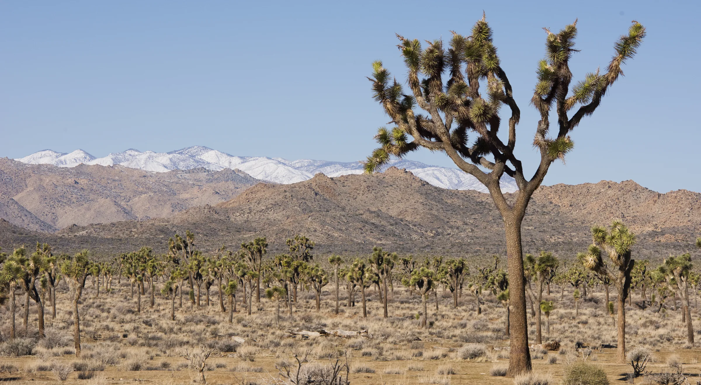
Joshua Tree in February
Joshua Tree in February: Yucca Valley weather normals, longer days, the start of spring crowds, Joshua tree blooms, Modernism Week and Mars and Jupiter in 2027.
Read →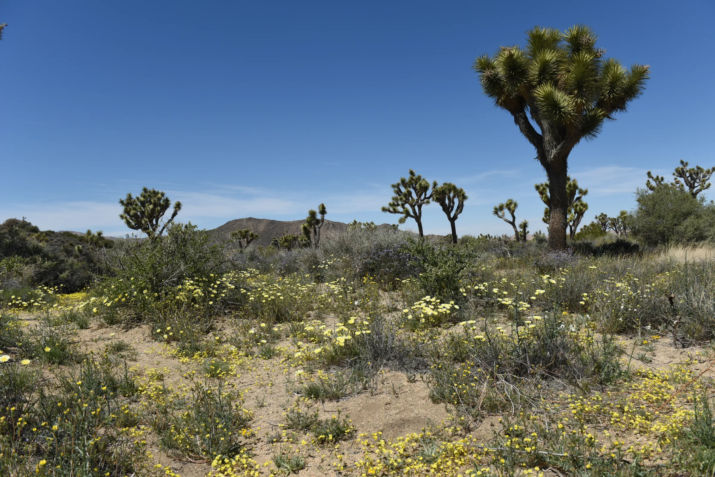
Joshua Tree in March
Joshua Tree in March: the park's busiest month, NOAA weather normals, the clock change, mid-elevation wildflowers, spring wind, the night sky and local events.
Read →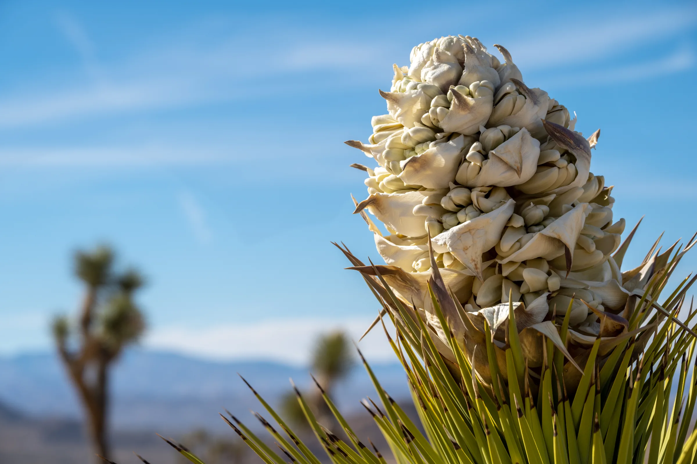
Joshua Tree in April
Joshua Tree in April: warming NOAA weather normals, blooms on the high ground, Coachella and Stagecoach weekends, waking wildlife, the Lyrids and what to pack.
Read →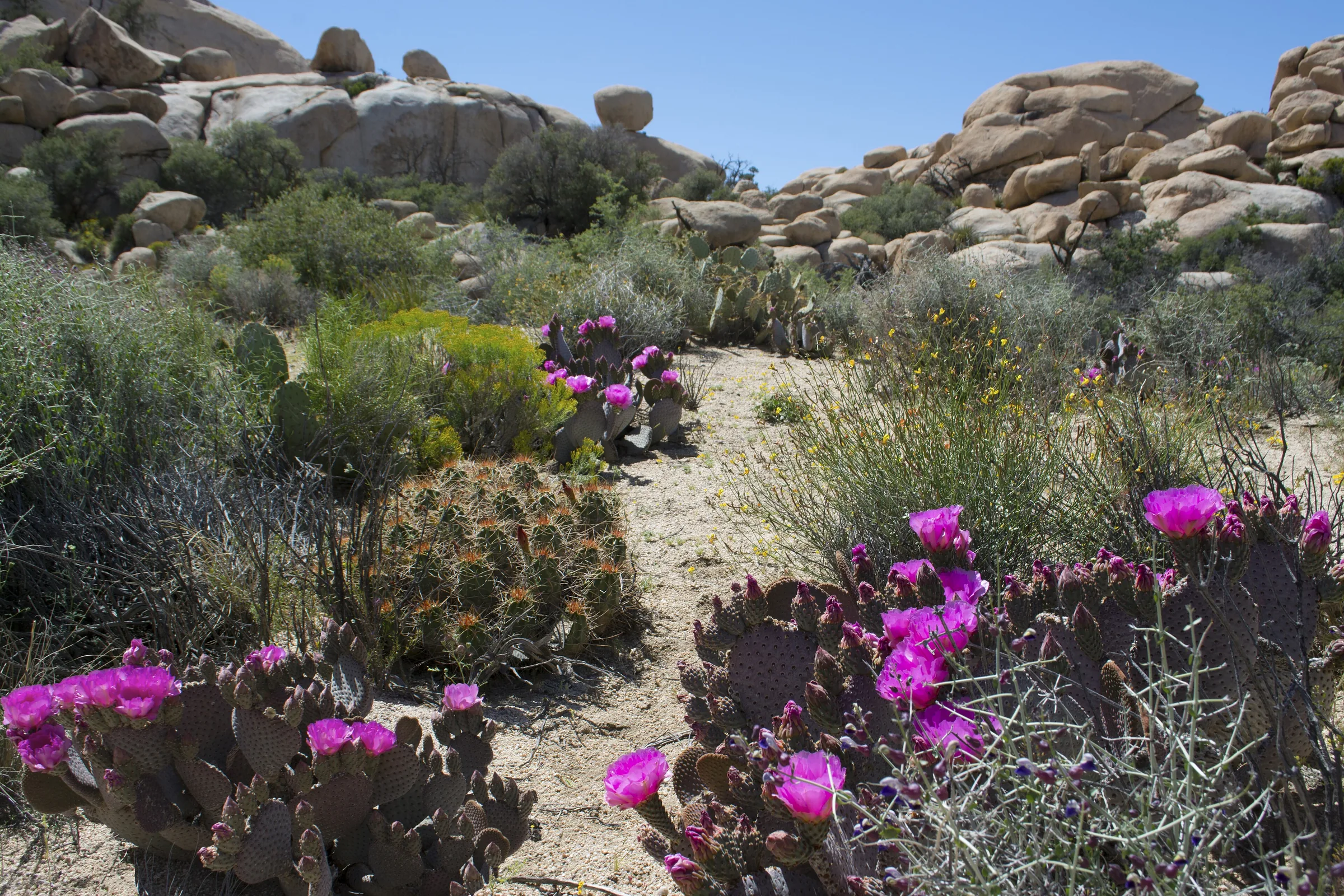
Joshua Tree in May
Joshua Tree in May: Yucca Valley climate normals, sunrise and sunset, the last blooms, Memorial Day crowds, the Eta Aquariids and what to pack.
Read →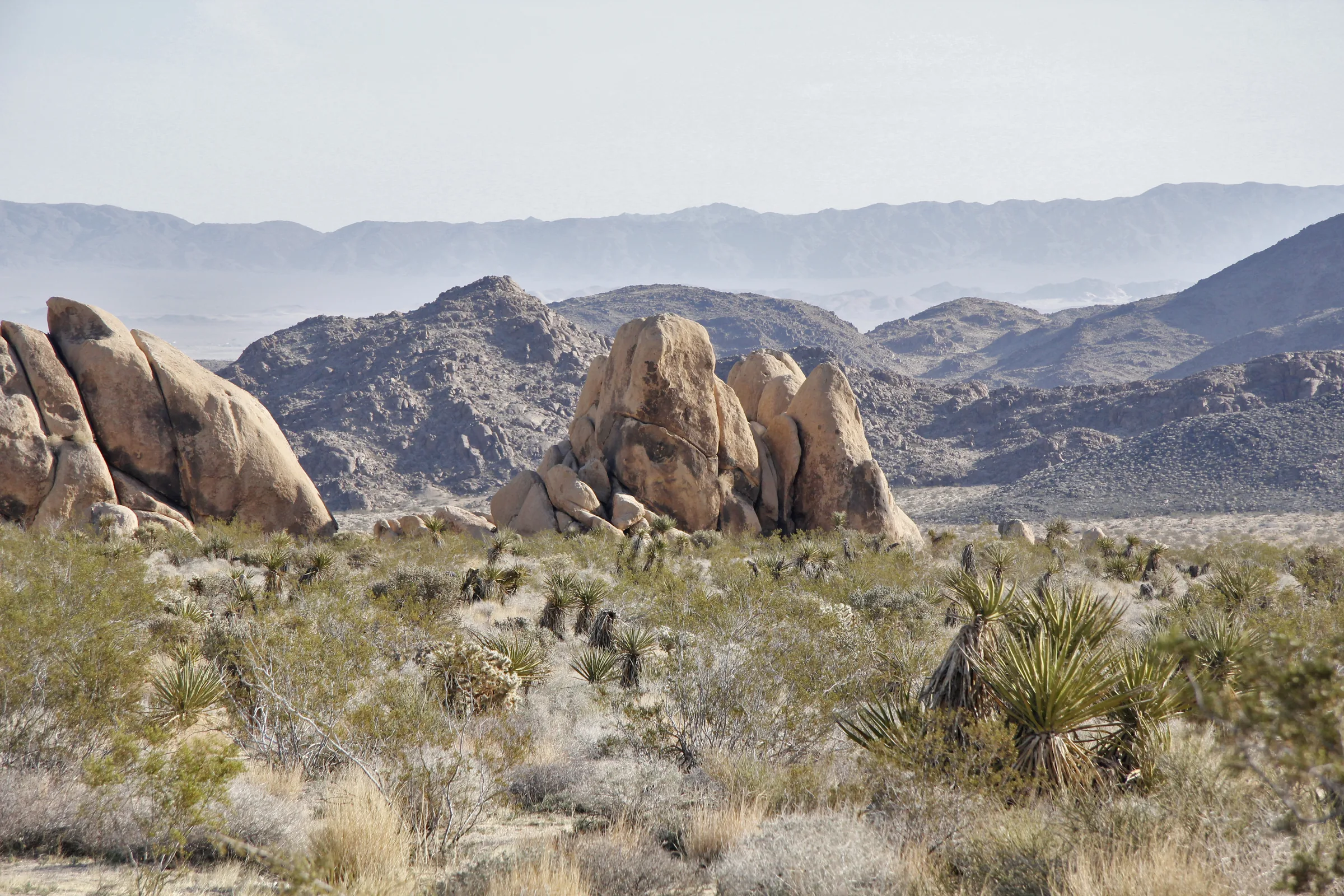
Joshua Tree in June
Joshua Tree in June: NOAA normals for Yucca Valley, the longest days, Fortynine Palms and campground closures, safe hiking hours and dark June nights.
Read →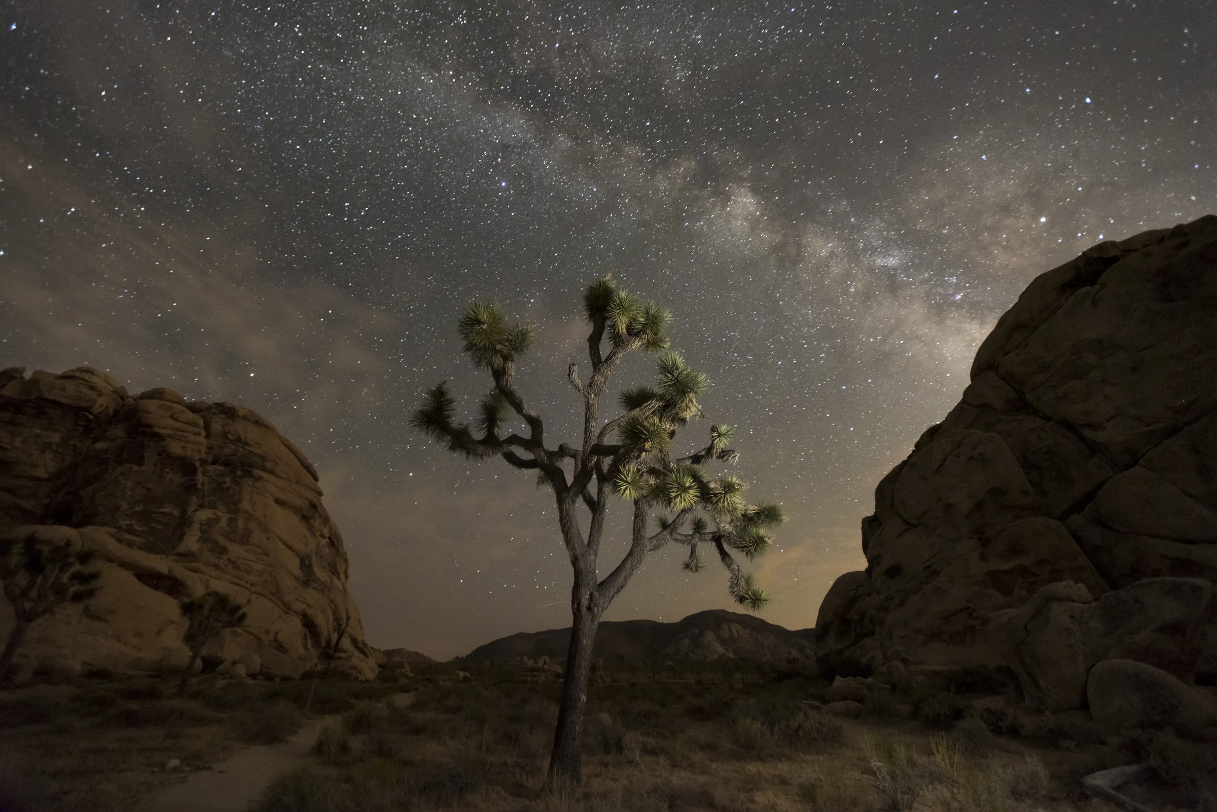
Joshua Tree in July
Joshua Tree in July: Yucca Valley and Twentynine Palms normals, monsoon storms and flash floods, Fourth of July rules, thin crowds and Milky Way nights.
Read →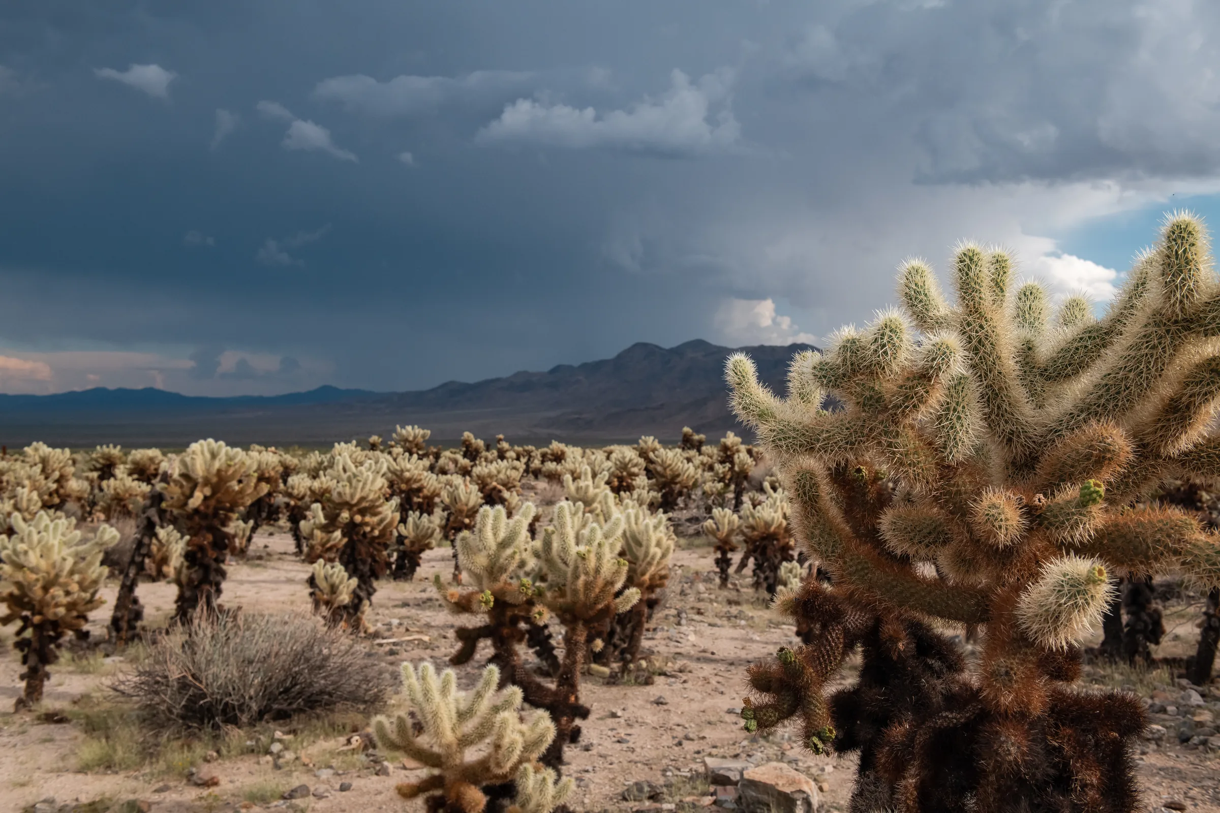
Joshua Tree in August
Joshua Tree in August: NOAA normals, monsoon storms and road closures, the Perseid meteor shower, shorter days, thin crowds and what to pack.
Read →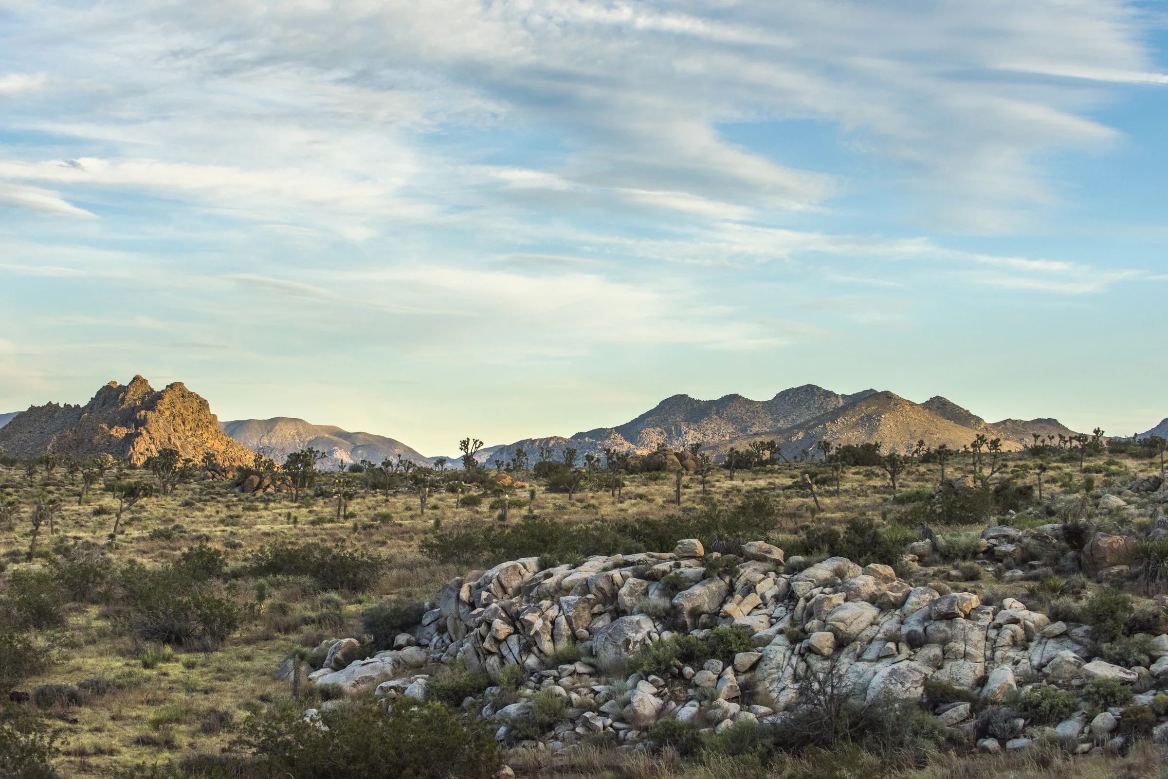
Joshua Tree in September
Joshua Tree in September: NOAA weather normals, late heat, daylight, the Fortynine Palms closure, flash floods, crowds, the night sky and what to pack.
Read →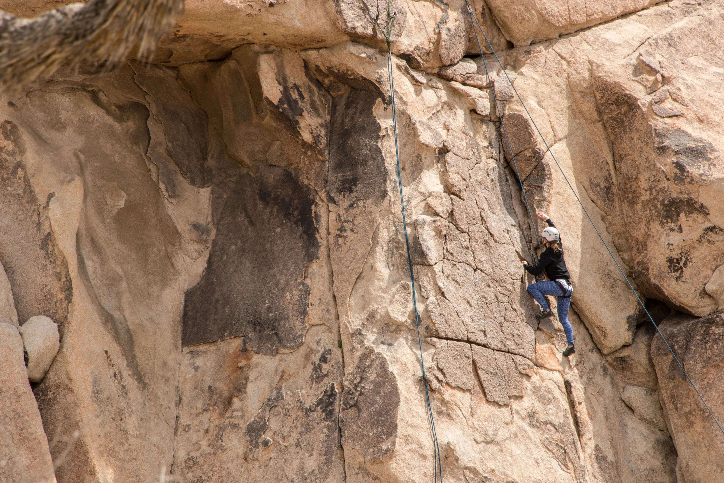
Joshua Tree in October
Joshua Tree in October: NOAA normals, shorter days, Fortynine Palms reopening, climbing season, crowds, the Orionids, Night Sky Festival and art tours.
Read →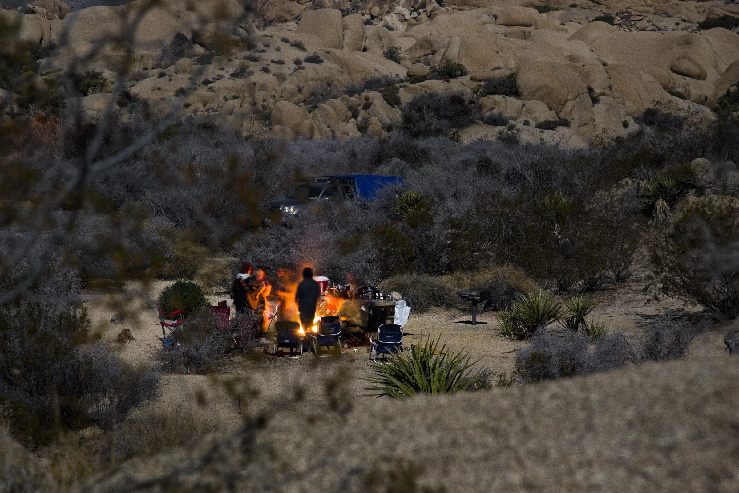
Joshua Tree in November
Joshua Tree in November: NOAA normals, the clock change and early sunsets, Thanksgiving crowds, campsites, longer hikes, the Leonids and what to pack.
Read →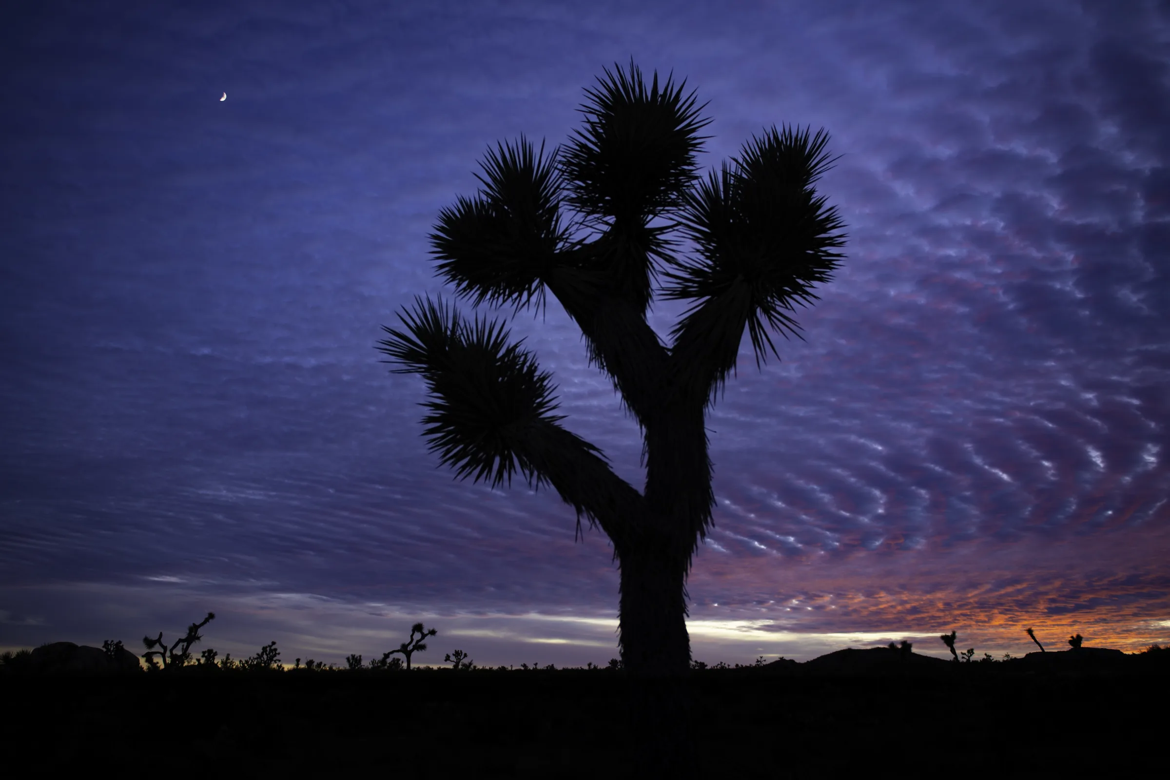
Joshua Tree in December
Joshua Tree in December: NOAA normals, freezing nights and rare snow, the shortest days, holiday crowds, the Geminids, holiday events and packing.
Read →Getting here
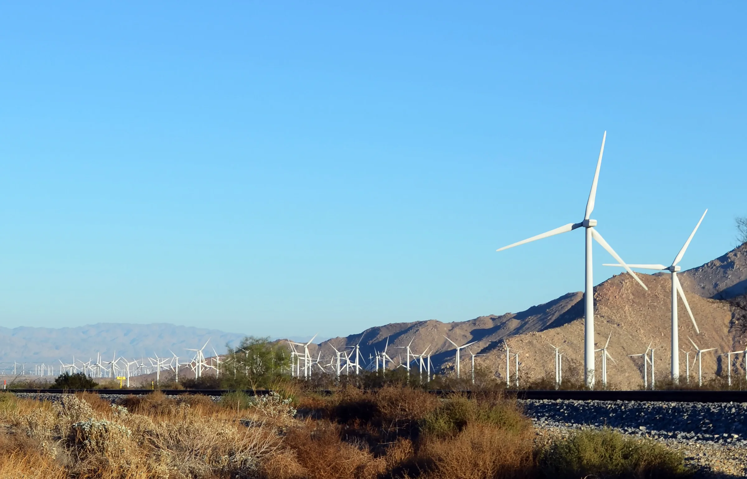
Los Angeles to Joshua Tree
Driving from Los Angeles to Joshua Tree: the I-10 and Highway 62 route, miles and drive time, when to leave, toll lanes, EV charging and stops in Cabazon.
Read →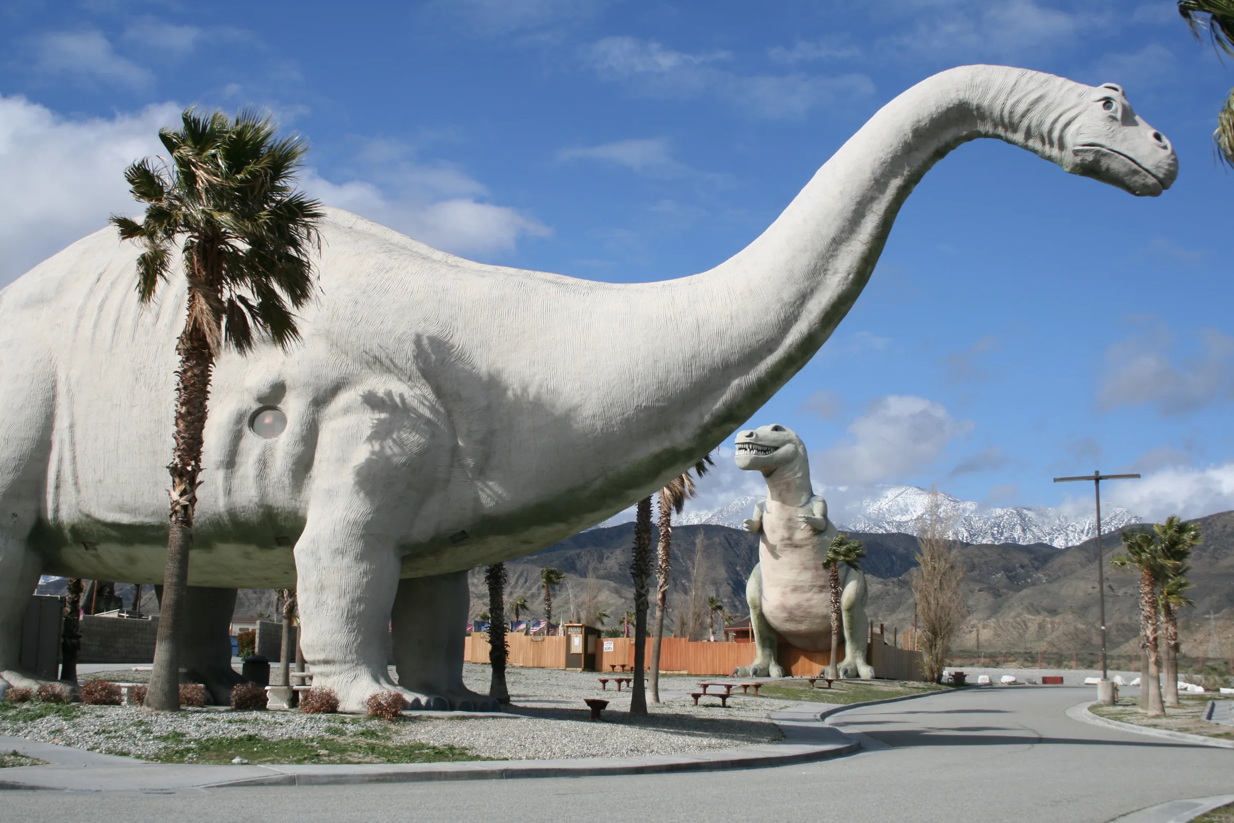
Orange County to Joshua Tree
Driving from Orange County to Joshua Tree: the 91, the 60 and I-10 to Highway 62, miles and drive time, the 91 Express Lanes, charging in Beaumont and stops.
Read →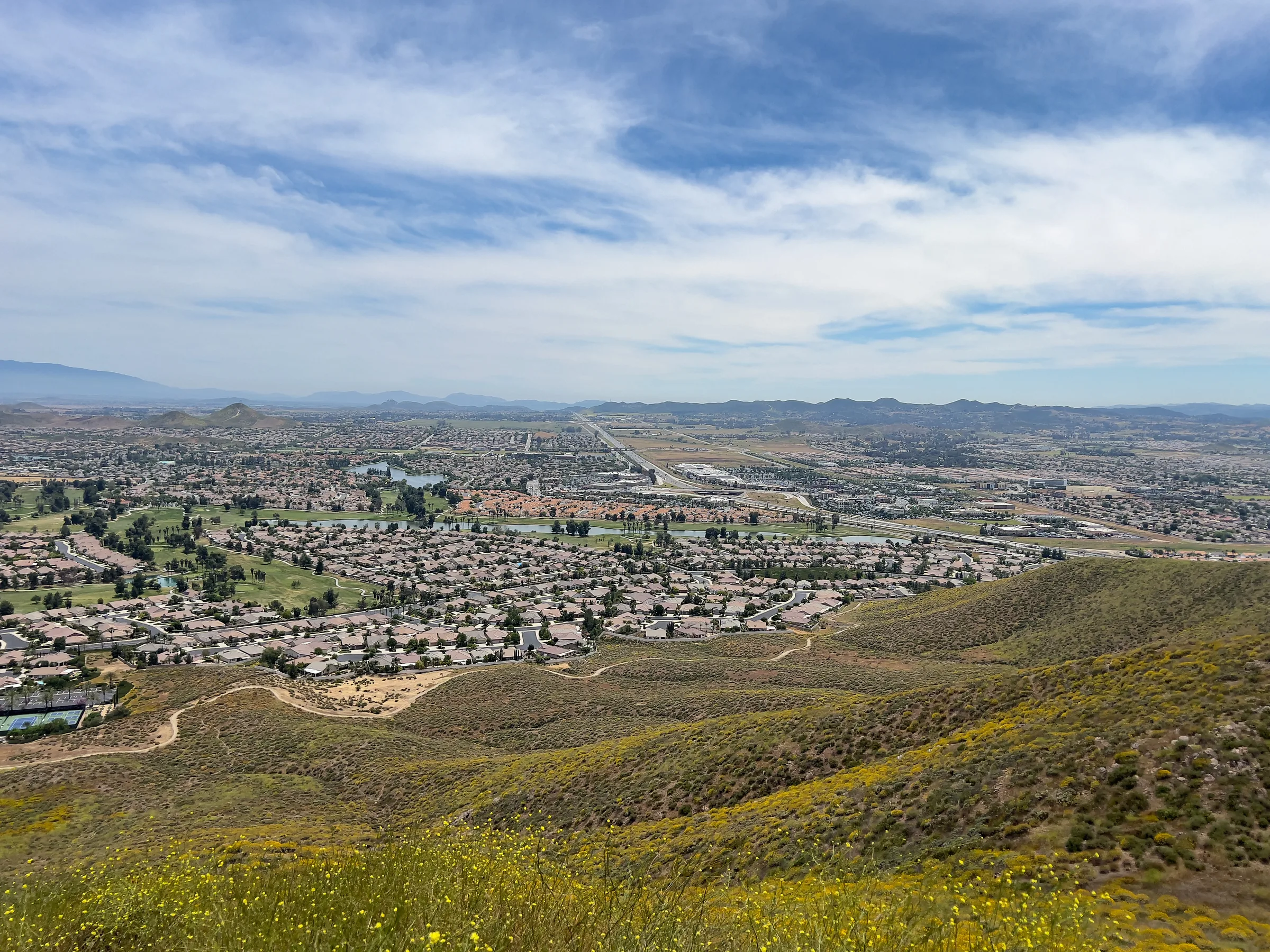
San Diego to Joshua Tree
Driving from San Diego to Joshua Tree: I-15 and Highway 79, or the desert way through Julian, Anza-Borrego and the Salton Sea. Miles, times, charging and stops.
Read →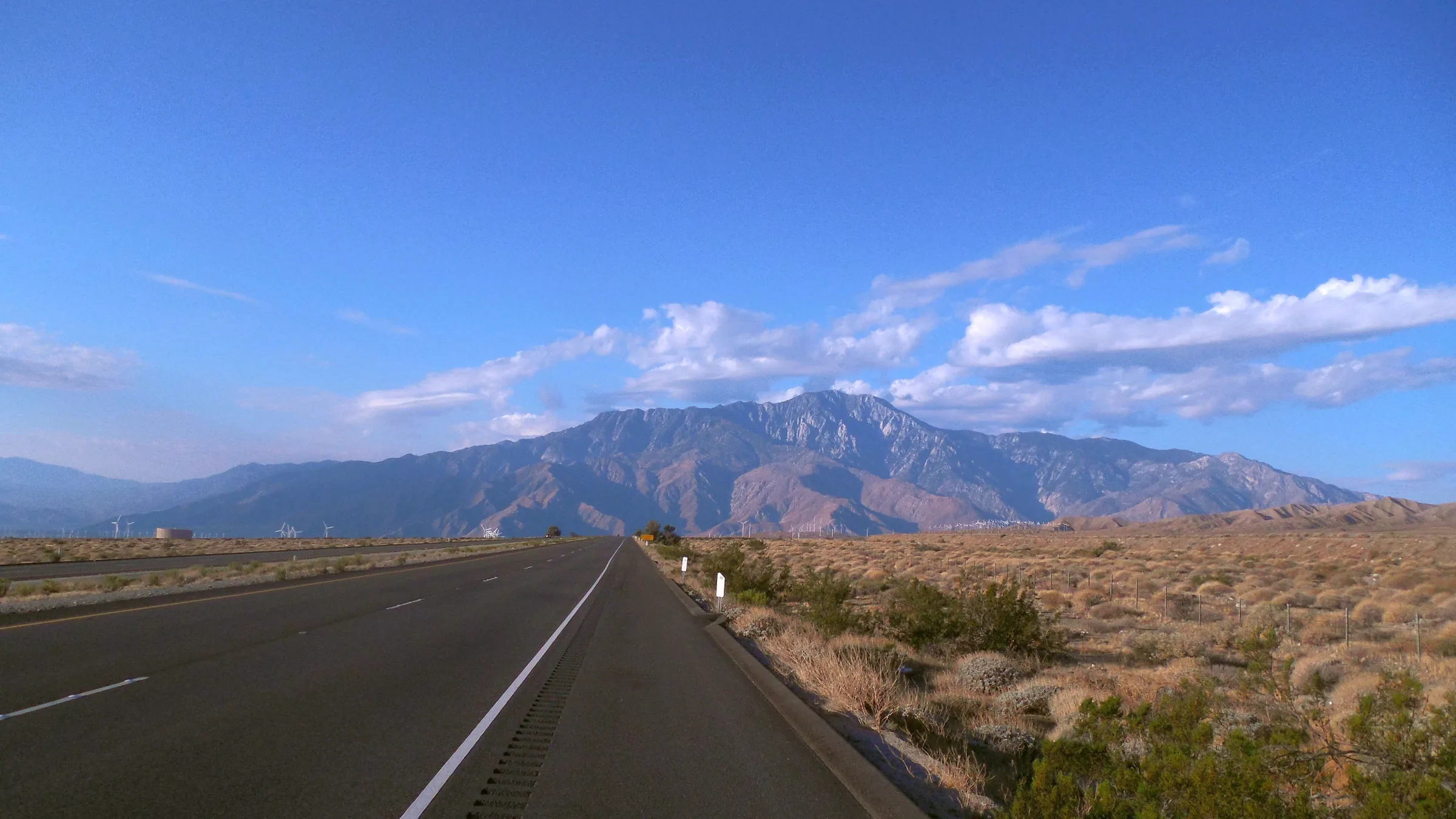
San Francisco to Joshua Tree
Driving from San Francisco to Joshua Tree: I-5, Route 58 over Tehachapi Pass, Barstow and Route 247 to Yucca Valley, with miles, drive time, charging and stops.
Read →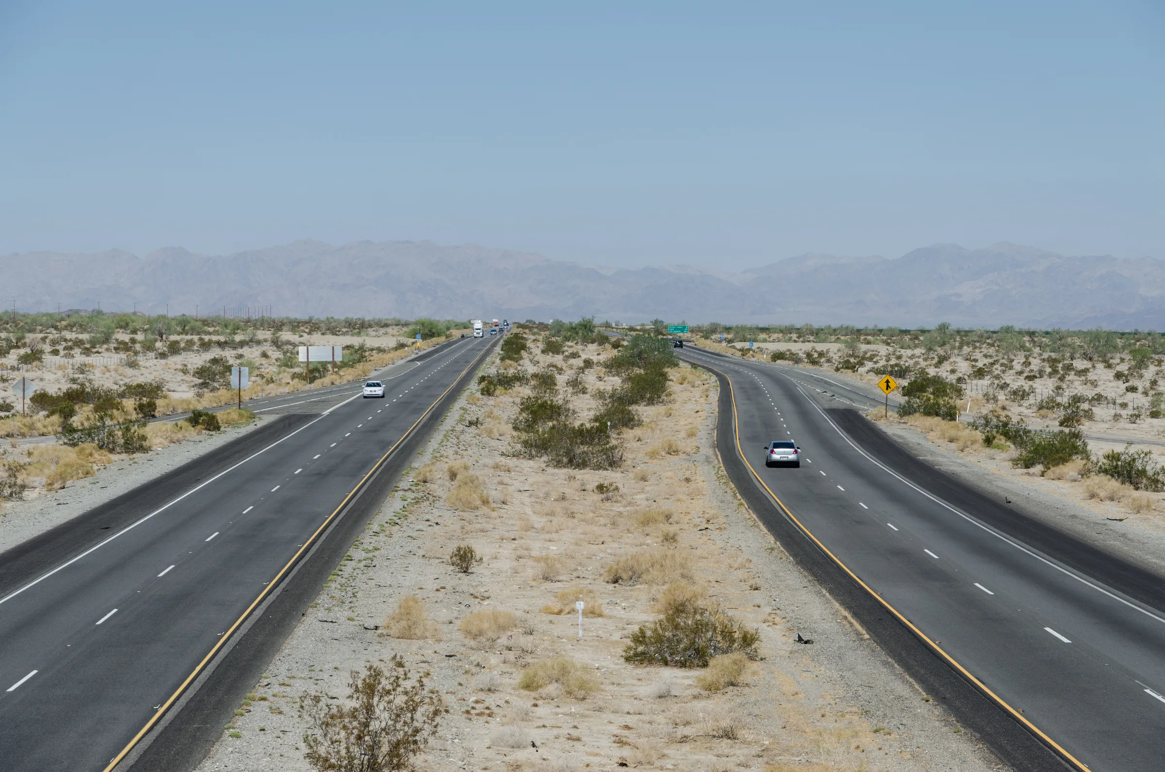
Phoenix to Joshua Tree
Driving from Phoenix to Joshua Tree: I-10 to Highway 62, the Cottonwood entrance through the park, or Parker and Route 62, with miles, time zones and stops.
Read →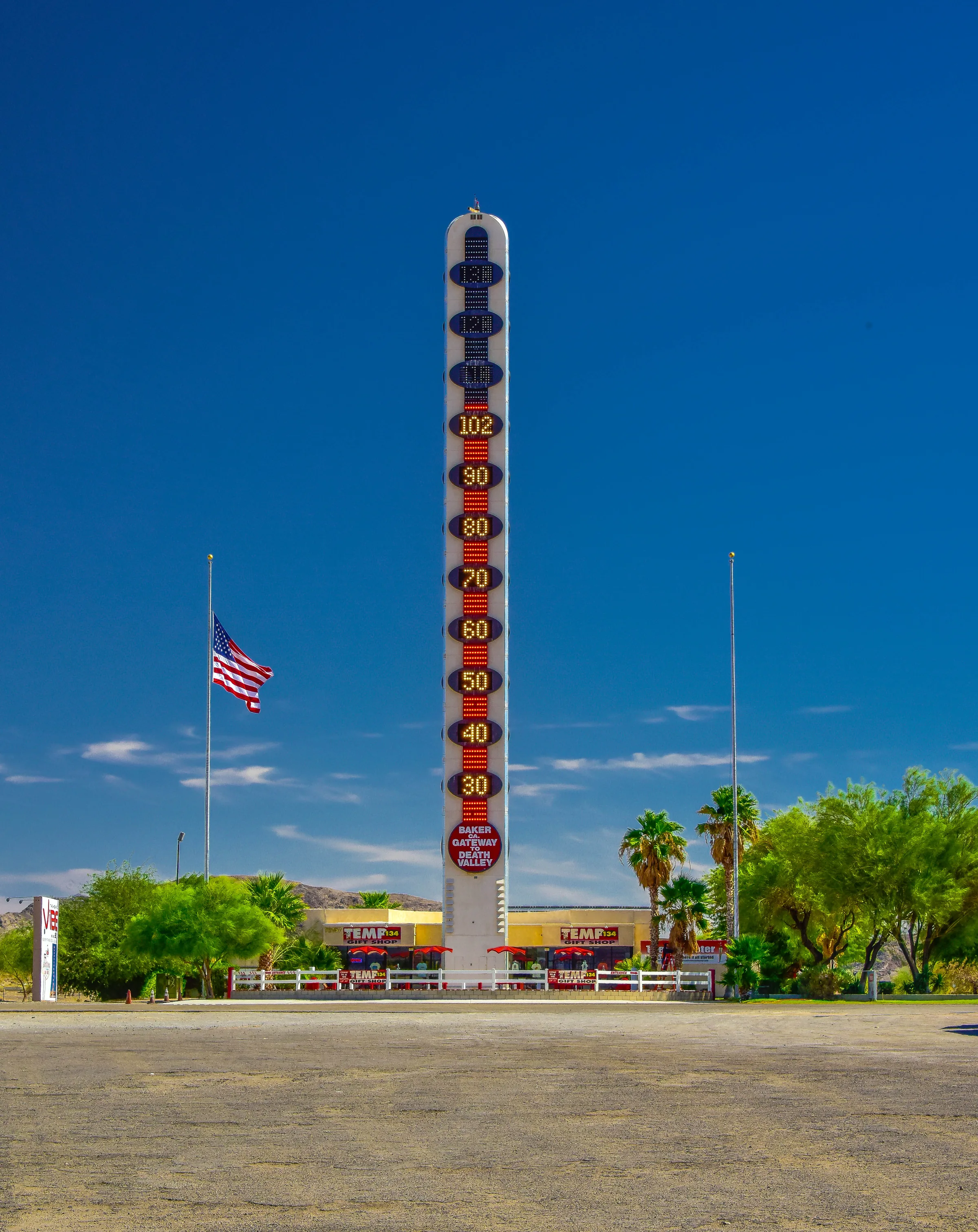
Las Vegas to Joshua Tree
Three ways to drive from Las Vegas to Joshua Tree and Yucca Valley: I-15 and Highway 247, Kelbaker Road through the Mojave Preserve, or US-95 and Amboy.
Read →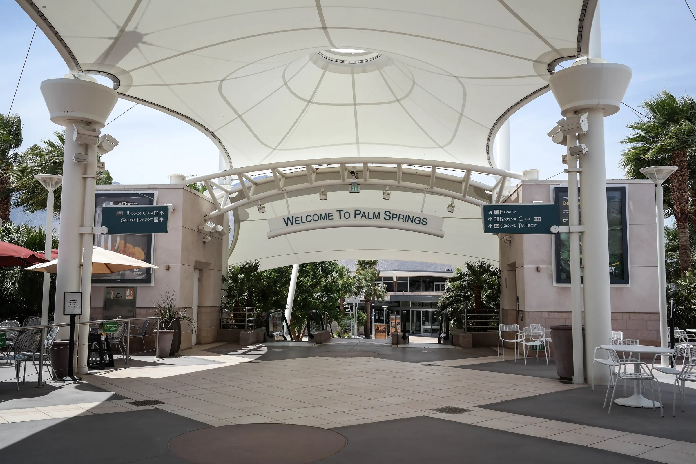
Flying into Palm Springs
Palm Springs International is the closest airport to Stargaze Escape. Airlines and seasonal flights, rental cars, and the drive up Highway 62 to Yucca Valley.
Read →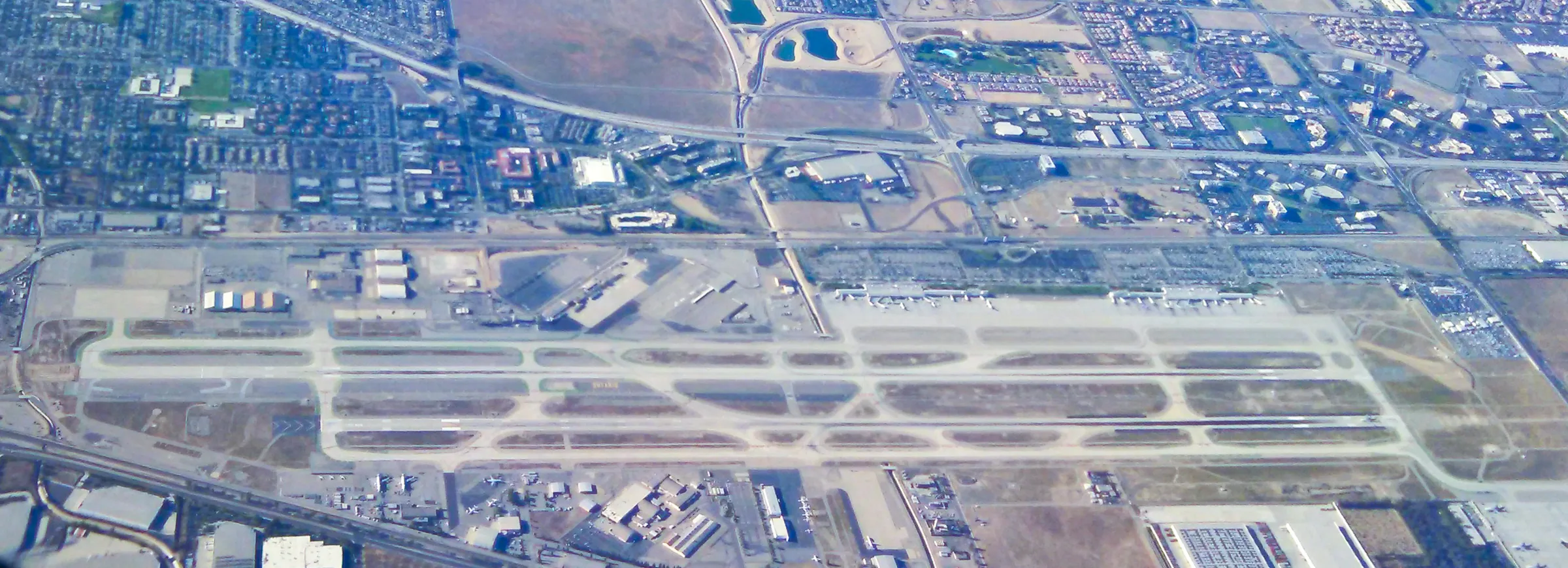
Flying into Ontario
Ontario International is about 95 miles from Stargaze Escape. Its terminals and airlines, the rental car shuttle, and the drive east on I-10 and up Highway 62.
Read →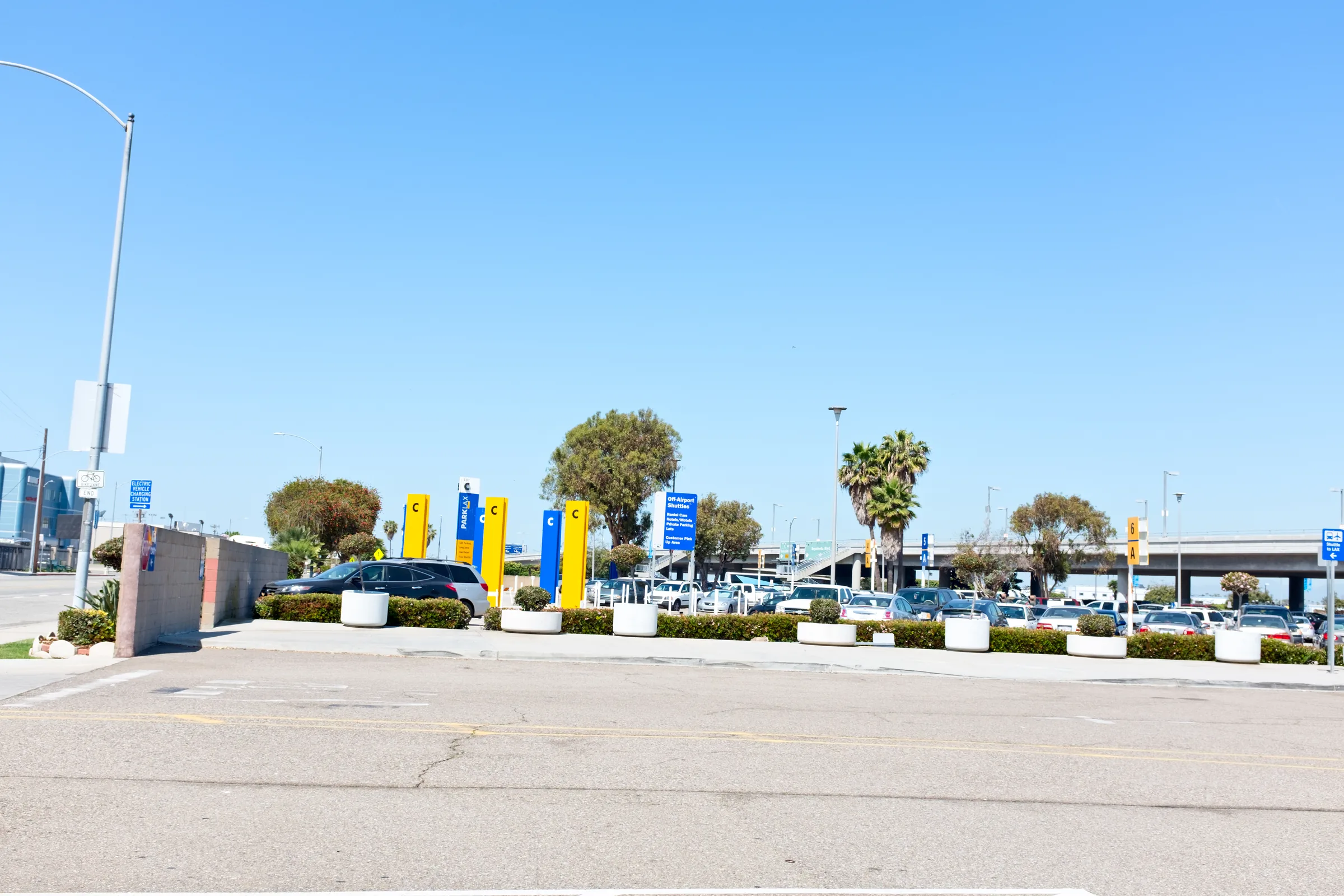
Flying into Los Angeles
LAX, Burbank or Long Beach for a Joshua Tree trip: how the three compare, where to pick up the rental car, and the 135 to 150 mile drive east to Yucca Valley.
Read →Eat & drink
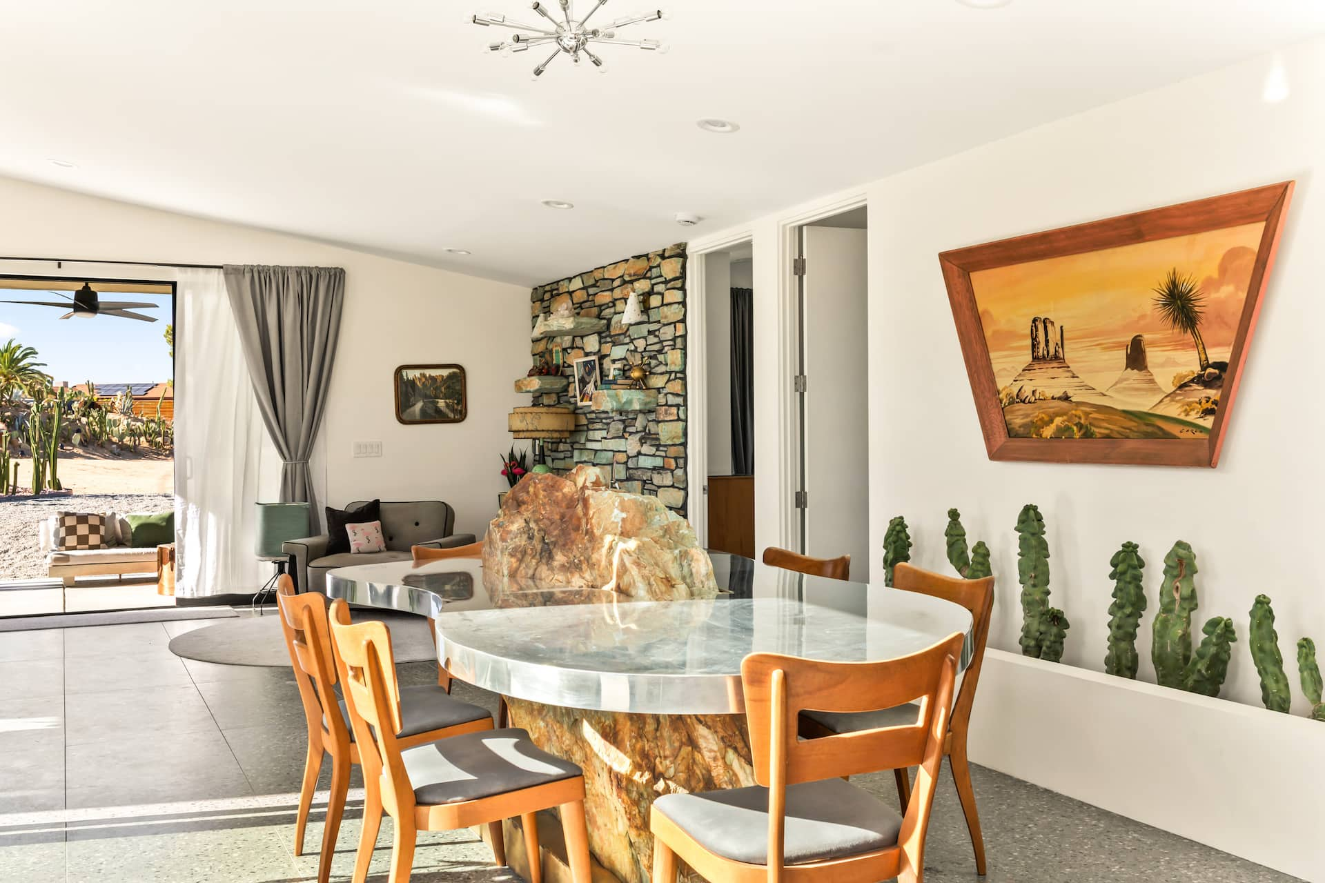
Breakfast and Brunch near Joshua Tree
Breakfast and weekend brunch near Joshua Tree: diners and cafes in Yucca Valley, Joshua Tree, Twentynine Palms and Morongo Valley, with drive times.
Read →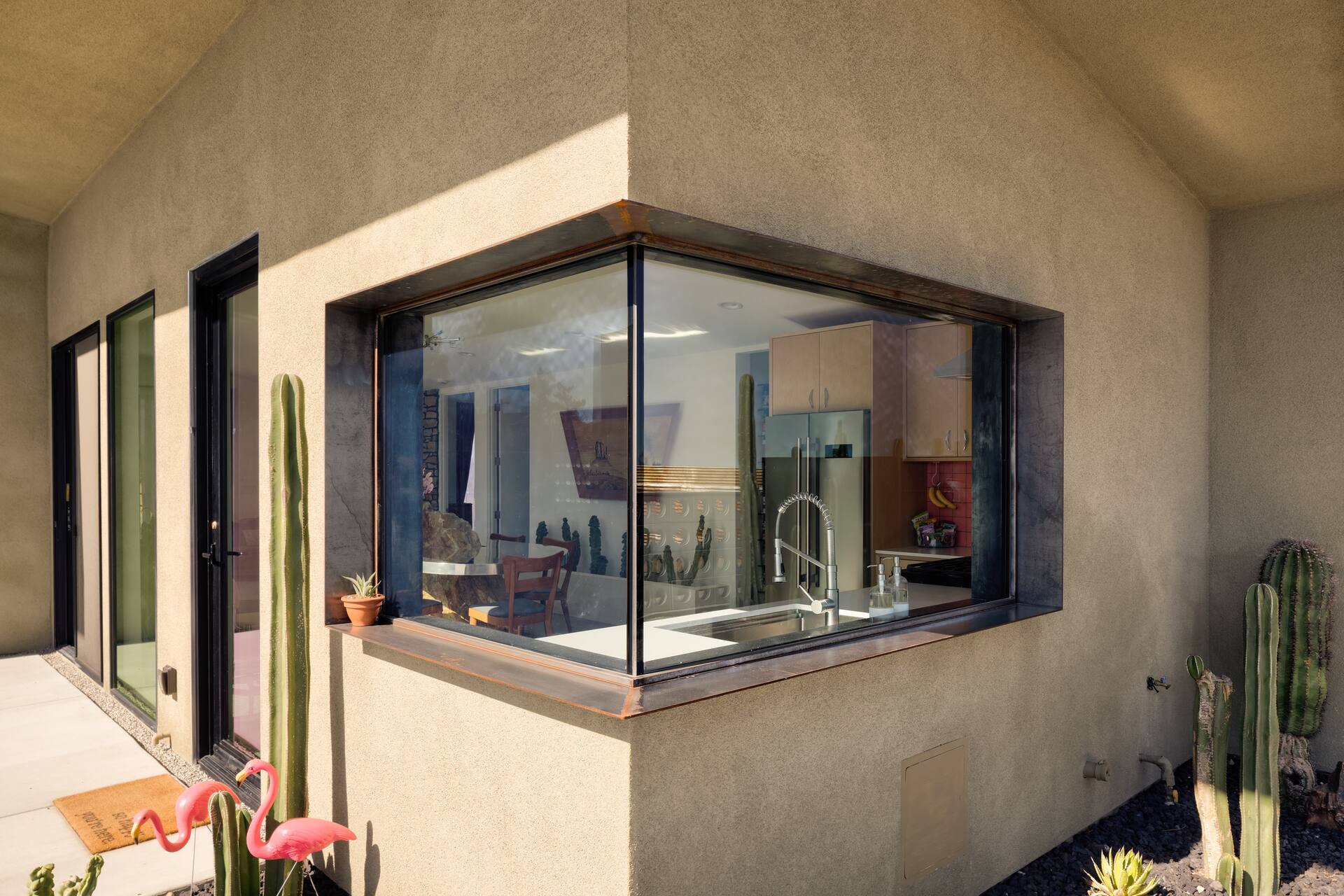
Lunch near Joshua Tree
Lunch near Joshua Tree by town: delis that pack food for the park and sit-down lunches in Yucca Valley, Joshua Tree, Twentynine Palms and Morongo Valley.
Read →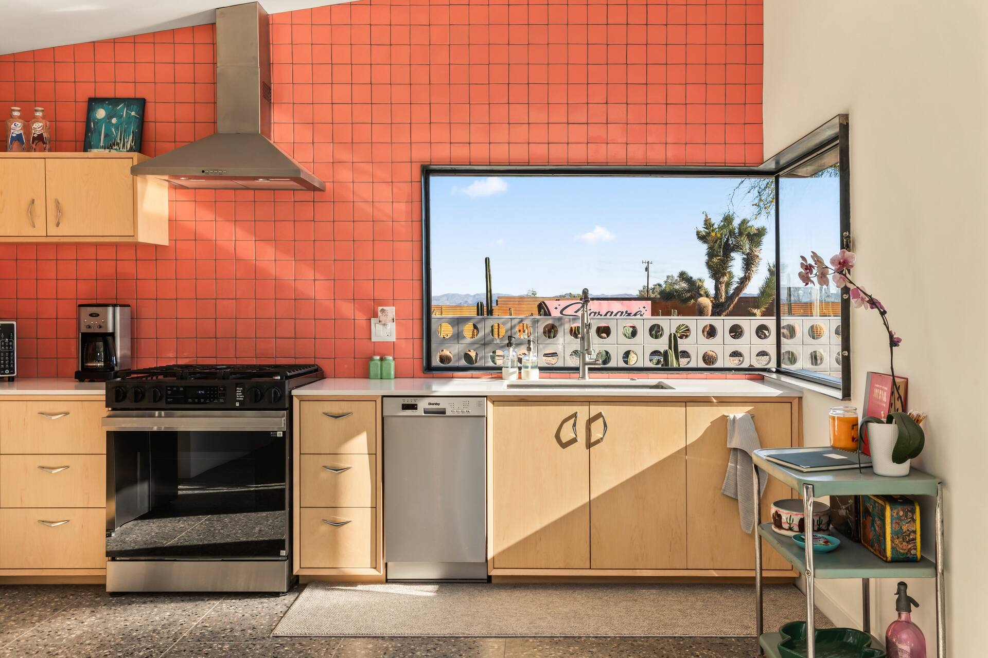
Dinner near Joshua Tree
Dinner near Joshua Tree by town: Yucca Valley, Pioneertown, Joshua Tree, Twentynine Palms, Morongo Valley and Highway 247, with booking tips and drive times.
Read →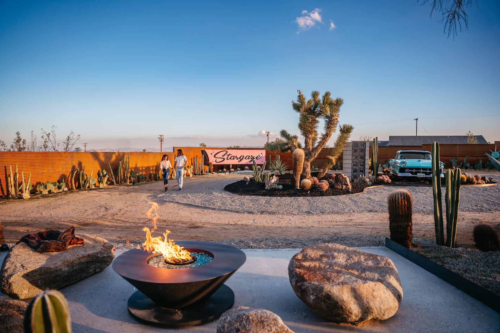
Bars and Saloons in the High Desert
Bars and saloons near Joshua Tree, town by town: Old West saloons, a 1950s airport lounge, jazz, breweries and dive bars, with drive times and late-night tips.
Read →
Mexican Food in the Morongo Basin
Taco shops, sit-down Mexican restaurants and late-night tacos in Yucca Valley, Joshua Tree and Twentynine Palms, with drive times and hours to check.
Read →
Groceries and Supplies in Yucca Valley
Where to stock a cook-in stay near Joshua Tree: Yucca Valley supermarkets, natural foods, wine and liquor shops, hardware, pharmacies, water and ice.
Read →
Bakeries and Sweets in the High Desert
Sourdough, cookies, donuts, ice cream, bagels and pan dulce in Yucca Valley, Morongo Valley, Joshua Tree and Twentynine Palms, with drive times and hours.
Read →Travel tips
Hospitals and Urgent Care near Joshua Tree
Where to get medical help near Joshua Tree: the ER in Joshua Tree, trauma care in Palm Springs, urgent care, pharmacies, vets and the park's emergency phones.
Read →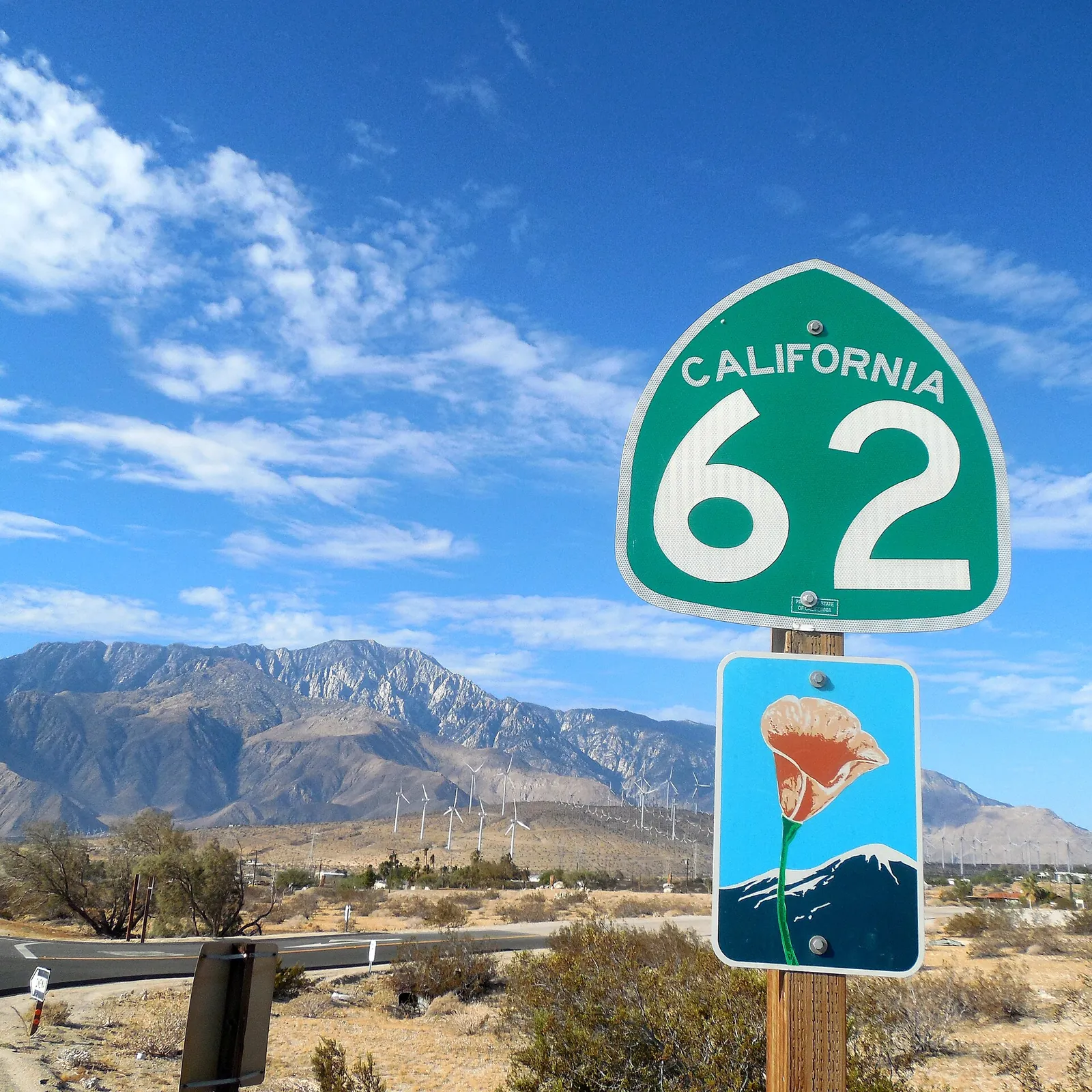
Gas and EV Charging near Joshua Tree
No gas or chargers inside Joshua Tree National Park. Where to fill up and fast-charge along Highway 62, how far park drives run, and fuel for desert day trips.
Read →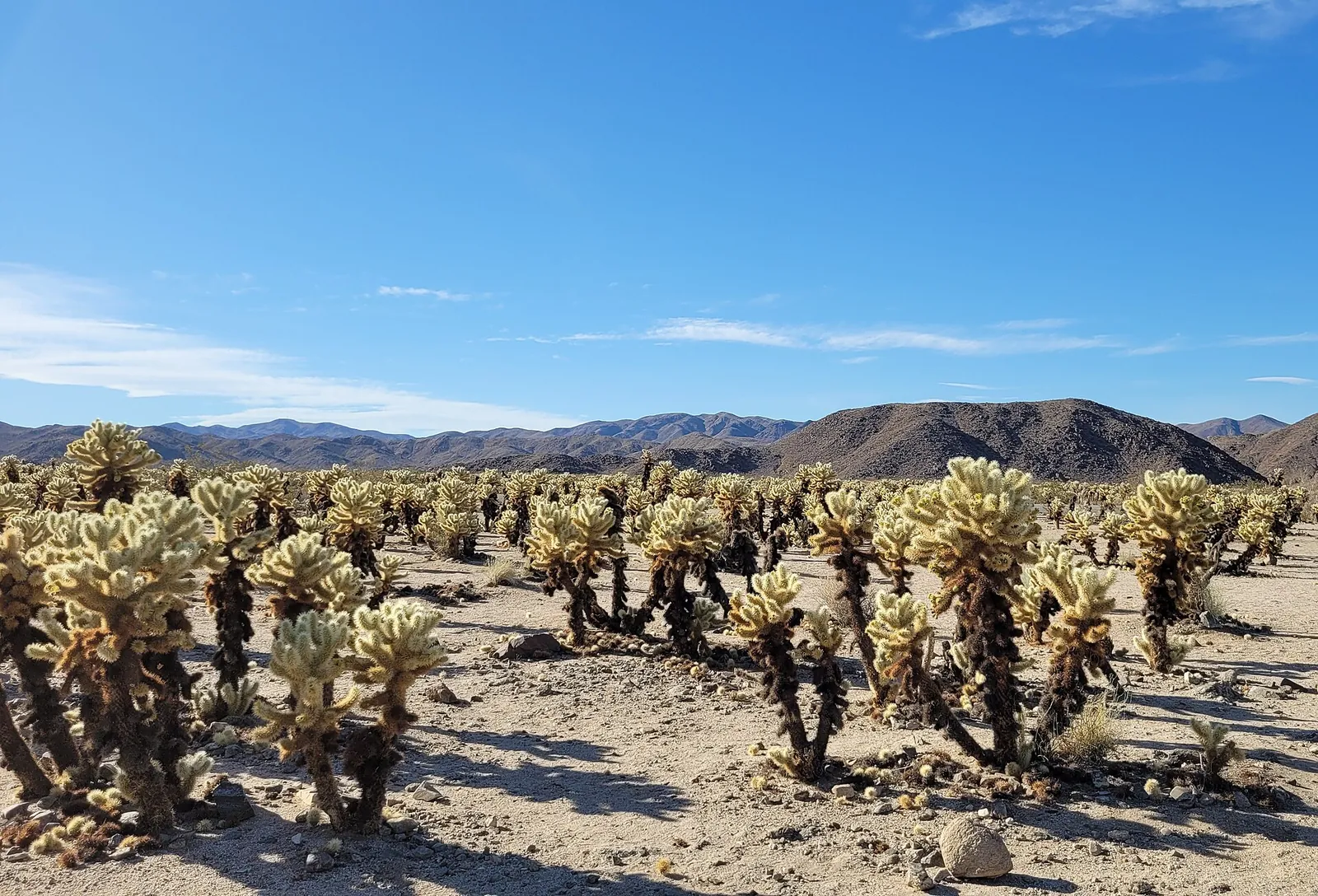
Cell Service in Joshua Tree
Cell service in Joshua Tree National Park is very limited. Where to find wifi, how to set up offline maps, and how to reach help by satellite or text.
Read →
Ideas for Hot, Windy or Rainy Days
Too hot, windy or wet for the park? Indoor and cooler options around Yucca Valley, Twentynine Palms and Palm Springs, plus heat, wind and flash flood facts.
Read →Photo credits on this page: Joshua Tree National Park 2013.jpg by Tuxyso, CC BY-SA 3.0 · Bouldering in Joshua Tree (31276719305).jpg by Joshua Tree National Park, Public domain · Cholla Cactus Garden.jpg by Eric Kilby, CC BY-SA 4.0 · Keys Ranch Historic Vehicle and Main House (50997128745).jpg by Joshua Tree National Park, Public domain · Joshua Tree National Park flowers - Baileya pleniradiata - 08.JPG by Jarek Tuszyński, CC BY-SA 3.0 · Astronomy Program (55086809621).jpg by Joshua Tree National Park, Public domain · Big Morongo Canyon Preserve (51858841369).jpg by blmcalifornia, Public domain · Aerial view of Joshua Tree National Park Covington Flats Area (51194879714).jpg by Joshua Tree National Park, Public domain · Black Rock Canyon Backcountry Trailhead (52798103522).jpg by Joshua Tree National Park, Public domain · Hidden Valley Trail 01.jpg by Bernard Gagnon, CC BY-SA 3.0 · Barker Dam Joshua Tree December 2013 003.jpg by King of Hearts, CC BY-SA 3.0 · Joshua tree keys view pano more vertical.jpg by Matthew Field, CC BY-SA 3.0 · Ryan Mountain Trail 02.jpg by Bernard Gagnon, CC BY-SA 3.0 · Sunset from the Skull Rock Trail; Jumbo Rocks (21113045388).jpg by Joshua Tree National Park, Public domain · Arch Rock 02.JPG by Bachelot Pierre J-P, CC BY-SA 3.0 · Lost Horse Mine (16837125542).jpg by Joshua Tree National Park, Public domain · Cottonwood Spring Oasis (29214416634).jpg by Joshua Tree National Park, Public domain · Joshua Tree NP - Light Saber - 5.jpg by Jarek Tuszyński, CC BY-SA 3.0 · Fortynine Palms Oasis in Joshua Tree National Park.jpg by Crishazzard, CC BY-SA 4.0 · Mojave yucca (Yucca schidigera); Indian Cove Campground - 12661672994.jpg by Robb Hannawacker, Joshua Tree National Park, Public domain · Pioneertown california saloon and bath house.jpg by Matthew Field, CC BY-SA 3.0 · Latitude 33.jpg by Farragutful, CC BY-SA 4.0 · BBV Summer 2019 -33.jpg by BigBearCabins, CC BY-SA 4.0 · Night sky and light pollution at the Oasis of Mara (50792382802).jpg by Joshua Tree National Park, Public domain · Shadow Mountain Road. Wonder Valley. August 2, 2022.jpg by Hwy62revisited, CC0 · Amboy Crater Area of Critical Environmental Concern, California (15039266973).jpg by Bob Wick, Bureau of Land Management, Public domain · View west in Yucca Valley CA.jpg by Downtowngal, CC BY-SA 4.0 · Joshua Tree, California 01 by Bernard Gagnon, CC BY-SA 3.0 · Pioneertown Mountains Preserve Sawtooth Landscape.jpg by BookOfDisquiet, CC BY 4.0 · Noah Purifoy outdoor desert assemblage art museum entrance.jpeg by Sarahmirk, CC BY-SA 4.0 · IntegratronLanders.jpeg by Jerry Frissen, CC BY-SA 3.0 · Pappy and Harriets Exterior.jpg by Pappyswiki, CC BY-SA 4.0 · Desert Christ Park Trio - panoramio.jpg by Diarrhea, CC BY 3.0 · Giant Rock in Landers, CA July 2008.JPG by Tomwhite56 at en.wikipedia, Public domain · Desert Tortoise (6215569730).jpg by Pacific Southwest Region USFWS from Sacramento, US, Public domain · Headstone rock under the Milky Way (22829620378).jpg by Joshua Tree National Park, Public domain · Living Waters Spa.jpg by JS5owner, Public domain · Aerial view of Joshua Tree National Park (51194316453).jpg by Joshua Tree National Park, Public domain · CA62sb TwentyninePalmsHwySign 20170910.jpg by Niranjan Arminius, CC BY-SA 4.0 · California desert golf course with palm trees by Jennifer Bourn, CC0 1.0 · Joshua Tree National Park West Entrance Sign at Sunset (46967728522).jpg by Joshua Tree National Park, Public domain · Jumbo Rocks Campsite (26418406409).jpg by Joshua Tree National Park, Public domain · Beside Highway 62, 2004 - panoramio.jpg by ogwen, CC BY-SA 3.0 · Desert Hot Springs Cablot’s Pueblo Museum (3).jpeg by own picture Renhau (R. Haupt, Germany), CC BY-SA 3.0 · Wildlands Whitewater River.jpg by BookOfDisquiet, CC BY-SA 4.0 · Salvation Mountain is an art installation covering a hill north of Calipatria, California, near Slab City and just several miles from the Salton Sea LCCN2013633406.tif by Carol M. Highsmith, Public domain · AmboyCraterViewMarch2010.jpg by Wilson44691, Public domain · Mojave National Preserve Kelso Dunes (49461666752).jpg by Joshua Tree National Park, Public domain · Aerial Tramway Car 7.jpg by Gillfoto, CC BY-SA 4.0 · San Jacinto Valley and Various Mountains from South Ridge Trailhead, San Jacinto Mountains.jpg by Z3lvs, CC0 · Joshua Tree Landscape with Snow (54380704275).jpg by Joshua Tree National Park, Public domain · Joshua trees and snow capped mountains (31727726703).jpg by Joshua Tree National Park, Public domain · Wildflowers by Keys View Road (26413348342).jpg by Joshua Tree National Park, Public domain · Joshua Tree Flowers in Bloom (51915511242).jpg by Joshua Tree National Park, Public domain · Beavertail Cactus in the Wonderland of Rocks. (36736804261).jpg by Joshua Tree National Park, Public domain · Indian Cove Campground; Twentynine Palms, CA - 12660944675.jpg by Joshua Tree National Park, Public domain · Night sky of Joshua Tree National Park (35211054330).jpg by Joshua Tree National Park, Public domain · Afternoon Storm over Cholla Cactus Garden (52397977619).jpg by Joshua Tree National Park, Public domain · Sunset at Joshua Tree National Park (21123226221).jpg by Joshua Tree National Park, Public domain · Rock Climber at Joshua Tree National Park - 2.jpg by Joshua Tree National Park, Public domain · Campfire at Jumbo Rocks campground (16116721080).jpg by Joshua Tree National Park, Public domain · Crescent moon and Joshua tree silhouette at sunset (50733907513).jpg by Joshua Tree National Park, Public domain · Wind energy near Palm Springs (30873356400).jpg by Pacific Southwest Region USFWS from Sacramento, US, Public domain · Cabazon-Dinosaurs-2.jpg by Jllm06, CC0 · Menifee viewed from Menifee Hills.jpg by Z3lvs, CC0 · CA62sb TwentyninePalmsHwy 1 20170910.jpg by Niranjan Arminius, CC BY-SA 4.0 · View of I-10 near Desert Center, CA 20110809 1.jpg by DXR, CC BY-SA 4.0 · Thermometer Baker California, 2019.jpg by Gayinspandex1, CC BY-SA 4.0 · Palm Springs International Airport-1.jpg by Visitor7, CC BY-SA 3.0 · LA Ontario Airport from the Air (ONT) San Bernadino, Cty, California.jpg by Northwalker, CC0 · LAX Cell Phone Parking Lot.jpg by Northwalker, CC0 · Palm Canyon Drive - Palm Springs, California, USA - August 1995.jpg by Giorgio Galeotti, CC BY-SA 4.0 · CA62s2 20150913.jpg by Niranjan Arminius, CC BY-SA 4.0 · Cholla Cactus Garden, Joshua Tree National Park.jpg by Mojnsen, CC BY 4.0 · Joshua tree at sunset in Queen Valley (50602525682).jpg by Joshua Tree National Park, Public domain. More on our photo credits page.