


































































































Getting here
Flying into Los Angeles
Los Angeles has more flights than anywhere else in Southern California, and three of its airports, LAX, Burbank and Long Beach, sit about 135 to 150 miles from Stargaze Escape. Each one means a drive of at least two and three quarter hours across the Los Angeles basin and out Interstate 10, and longer in traffic. Here is how they compare, how to collect a rental car at each, and how to time the drive east.
LAX, Burbank and Long Beach compared
Measured with a routing engine to the house, with no traffic on the road:
- Long Beach (LGB). About 134 miles, roughly two and three quarter hours.
- Hollywood Burbank (BUR). About 144 miles, a little under three hours.
- Los Angeles International (LAX). About 147 miles, a little under three hours.
Those are best cases. Southern California traffic can add half an hour to an hour or more. For comparison, Ontario is about 94 miles from the house and Palm Springs about 40, so if either one has a flight that works, read flying into Ontario or flying into Palm Springs first. The case for the Los Angeles airports is choice: more airlines, more nonstop cities and more departure times, which counts for a lot on a long trip or an international one.
LAX
LAX is the big one. It handled about 76.6 million passengers in 2024 and has nine terminals with a combined 161 gates, set in a horseshoe around a loop road. Nothing else in the region comes close for the choice of airlines and nonstop routes, domestic and international, which matters most if you are coming from overseas.
The size has a cost in time. Allow for long walks inside the terminals, a wait at baggage claim, and then the trip out of the terminal area to the rental cars. On a crowded afternoon that last part can take longer than you expect, so don't plan anything tight for the first few hours after landing.
Rental cars at LAX
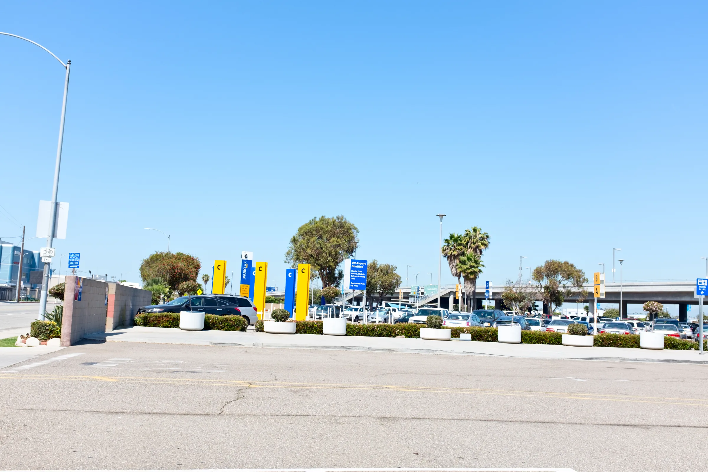
LAX is in the middle of changing how rental cars work. The airport has built a large Rental Car Center east of the terminals, designed to bring the major rental companies under one roof, and an automated train called SkyLink to link it to the terminals. SkyLink began demonstration testing on April 21, 2026, and its operator has predicted passenger service from January 6, 2027, though the project has been delayed several times and is the subject of litigation. Until the train opens, shuttle buses carry passengers between the terminals and the rental cars.
In practice, check your booking confirmation for where your company's shuttle goes, follow the airport's signs to the rental car shuttle stops outside arrivals, and build in time. Once the train is running, the trip to the counters should become more predictable, but confirm the current arrangement on the airport's website close to your travel date.
Out of LAX and onto I-10
From the airport, the routing engine's line runs east on the I-105 Century Freeway for about 16 miles, north on I-605 for about 12, then east on I-10, which you follow for close to 90 miles, through the San Gabriel Valley, past Ontario and Redlands, and over the San Gorgonio Pass to the Highway 62 exit. From there it is about 20 miles north to Yucca Valley, then about 9 miles north on Highway 247 to the house. Your map app may pick other freeways depending on the traffic at the moment, and that flexibility is worth using: there are several ways across the basin and only one road at the end.
Some stretches of I-10 east of downtown Los Angeles, including one through Ontario, have tolled express lanes that use FasTrak. Ask your rental company how it handles tolls before you use them, or stay in the regular lanes. For the drive from the city in more depth, with stops along the way, see our Los Angeles to Joshua Tree page.
Burbank
Hollywood Burbank Airport, in the San Fernando Valley about three miles northwest of downtown Burbank, is much smaller: about 6.3 million passengers in 2025 and 14 gates. Southwest carries more than half of them, and several other U.S. airlines fly there too, so check the airport's air-service page for the current list. For a guest coming from the Bay Area, the Pacific Northwest or another Southwest city, Burbank is often the easier Los Angeles airport.
Burbank is also changing buildings. A new 355,000-square-foot terminal with 14 gates, on the northeast side of the airfield, is scheduled to open in October 2026 and replace the old terminals. Rental cars have been in the Regional Intermodal Transportation Center, opened in 2014, which holds ten rental brands in one building and is reached from the front of the old terminal by a raised walkway. With the move, the way from your gate to the rental counters may change, so check the airport's rental car page for current directions before you land. Burbank also has two Metrolink stops beside the airport, Burbank Airport North and South, and Amtrak service at the South station.
From Burbank the usual way east starts on I-5 south and Highway 134 to I-210, which runs through Pasadena along the foot of the San Gabriel Mountains, and then joins I-10. At about 144 miles it is almost the same distance as from LAX, but it starts on the north side of the basin, away from the freeways around the airport.
Long Beach
Long Beach Airport is the smallest of the three, with about 3.8 million passengers in 2025, and it is mostly a Southwest airport: Southwest carried roughly 88 percent of them. Delta Connection, Hawaiian Airlines and Alaska fly there too, and the airport's own site lists the current nonstop cities. The city's strict noise ordinance caps the schedule, at 58 flights a day as of 2023, so there are fewer departure times to choose from.
The terminal is a Streamline Moderne building from 1941, renovated in 2013. Long Beach is also the second-closest airport to the Disneyland Resort, which makes it a sensible pick for a trip that pairs Anaheim with the desert. Check your rental confirmation for where Long Beach pickups happen. From the airport, Lakewood Boulevard leads to I-405, and the usual way east crosses Orange County on the 22, 55 and 91 freeways, then Highway 60 to meet I-10 at Beaumont. That overlaps with our Orange County to Joshua Tree route, which covers the 91 in detail. At about 134 miles it is the shortest drive of the three Los Angeles airports.
Choosing between them
If the airline and the time suit you equally at all three, the shortest drive is from Long Beach and the smallest terminal is at Long Beach or Burbank. In practice the choice usually comes down to your airline:
- International or long-haul. LAX, almost always, with Ontario worth a look for Mexico and Taipei.
- Southwest. All three, plus Ontario and Palm Springs, so pick by schedule and by which side of the city suits your arrival time.
- Alaska, United, American or Delta. LAX or Burbank, and check Ontario and Palm Springs too before you settle.
- A combined trip. Long Beach for Orange County and Disneyland, Burbank for the San Fernando Valley and Hollywood, LAX for the Westside and the beach cities.
Whichever you pick, check the drive time on your map app for the hour you will actually land, since that matters more than the dozen or so miles that separate the three.
Timing the drive east
From any of these airports, the timing of your landing matters as much as the airport. Our journal post on driving to Joshua Tree covers how Los Angeles traffic shapes the trip. For fliers, a few points apply:
- Mind the evening rush. A landing in the late afternoon on a weekday, after bags and the rental car, puts you on the freeways during the evening commute. A morning or early afternoon arrival usually gets you out ahead of it.
- Look before you leave the lot. Caltrans QuickMap and your map app will show which freeway across the basin is moving at that moment.
- Eat first, or plan a stop. The first hour is city freeway. The easier places to pull over come later, around Ontario and in the pass.
- Long-haul arrivals. After an overnight flight, three more hours at the wheel is a lot. A night near the airport and an early start, or sharing the driving, is the safer plan.
The last 30 miles
Whichever airport you use, the drive ends the same way: I-10 to the Highway 62 exit near Whitewater, then about 20 miles north and uphill to Yucca Valley at roughly 3,300 feet, and finally north on Highway 247 for about 9 miles, roughly 15 minutes, to the house in Flamingo Heights. Shop before you turn north; Yucca Valley's two Stater Bros. supermarkets on Highway 62 are the place to stock the kitchen. Check-in is self-service with a keypad code we send ahead, from 4pm, so a late arrival is no problem. Save the directions to the house on your phone before you set out, because signal fades in places once you leave the towns. Our getting here page has the arrival details.
Flying home
Check-out is at 11am, which makes an early-morning flight out of Los Angeles hard to reach from the desert. A late-afternoon or evening departure works better: leave the house at check-out, allow three hours or more for the drive, then time to return the car, ride the shuttle at LAX or find your way from the rental center at Burbank, and clear security. If your only option is a morning flight, a last night near the airport is easier than a pre-dawn start on I-10.
If your rental agreement asks for the car back with a full tank, fill up before the last stretch to the airport rather than hunting for a station near the terminals. Before you set off from Yucca Valley, check Caltrans QuickMap again, because the westbound freeways into Los Angeles have their own rush hours.
Know before you go
- Distances. About 134 miles from Long Beach, 144 from Burbank and 147 from LAX to the house.
- Time. Two and three quarter to three hours without traffic; often more.
- LAX rental cars. Shuttle buses until the SkyLink train opens, planned for early 2027 at the time of writing.
- Burbank. New terminal scheduled for October 2026; check how to reach the rental car center from it.
- Long Beach. Mostly Southwest, with a capped number of daily flights.
- Tolls. Express lanes on parts of I-10 need FasTrak.
- Closer options. Ontario and Palm Springs cut the drive to about two hours and about an hour.
After a long travel day, the hot tub is open all year. Check dates for your stay.
Keep exploring
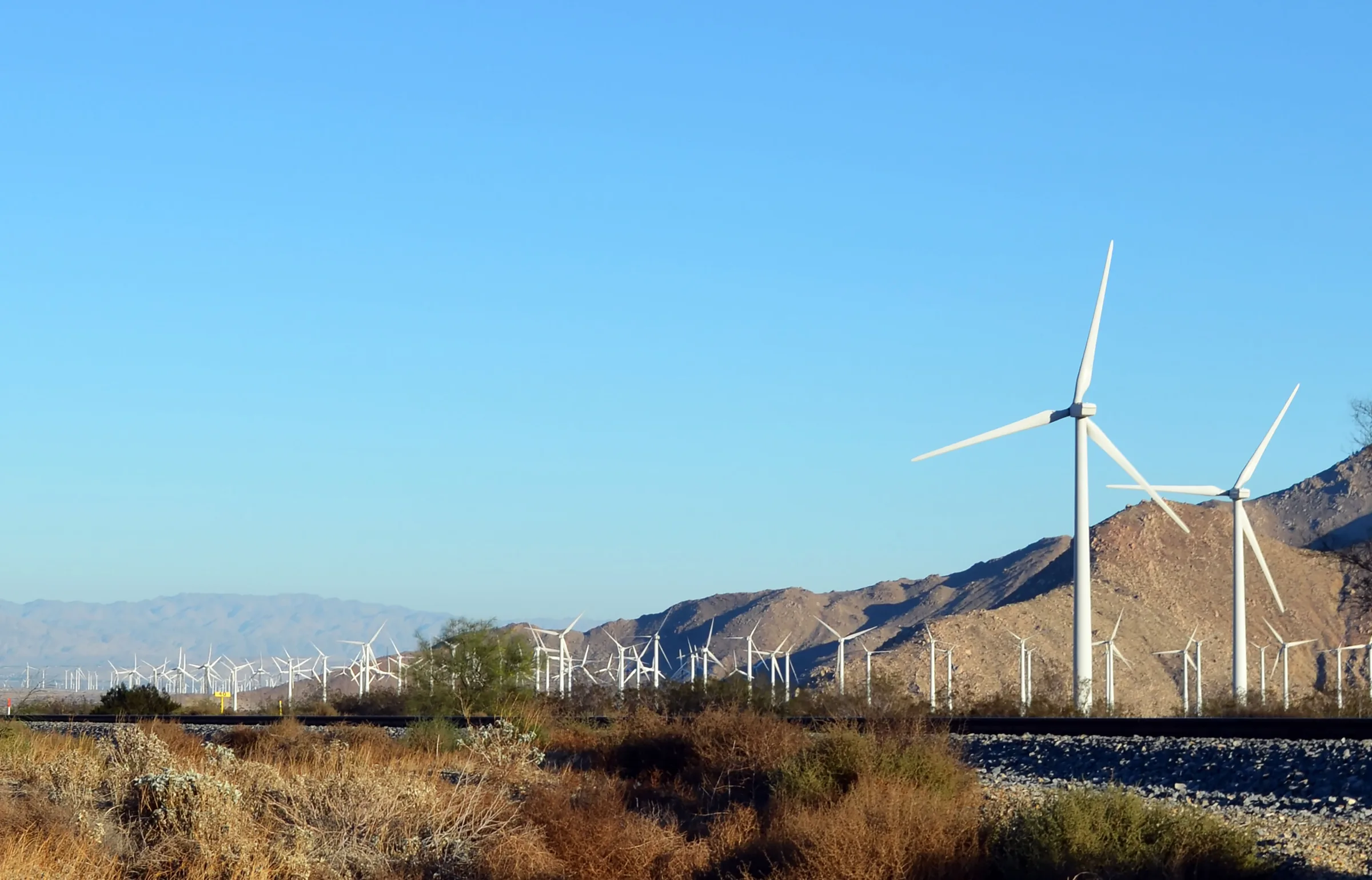
Los Angeles to Joshua Tree
Driving from Los Angeles to Joshua Tree: the I-10 and Highway 62 route, miles and drive time, when to leave, toll lanes, EV charging and stops in Cabazon.
Read →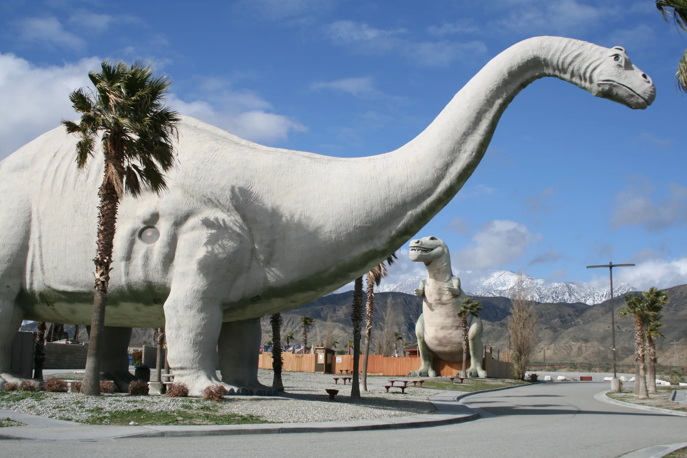
Orange County to Joshua Tree
Driving from Orange County to Joshua Tree: the 91, the 60 and I-10 to Highway 62, miles and drive time, the 91 Express Lanes, charging in Beaumont and stops.
Read →
San Diego to Joshua Tree
Driving from San Diego to Joshua Tree: I-15 and Highway 79, or the desert way through Julian, Anza-Borrego and the Salton Sea. Miles, times, charging and stops.
Read →