


































































































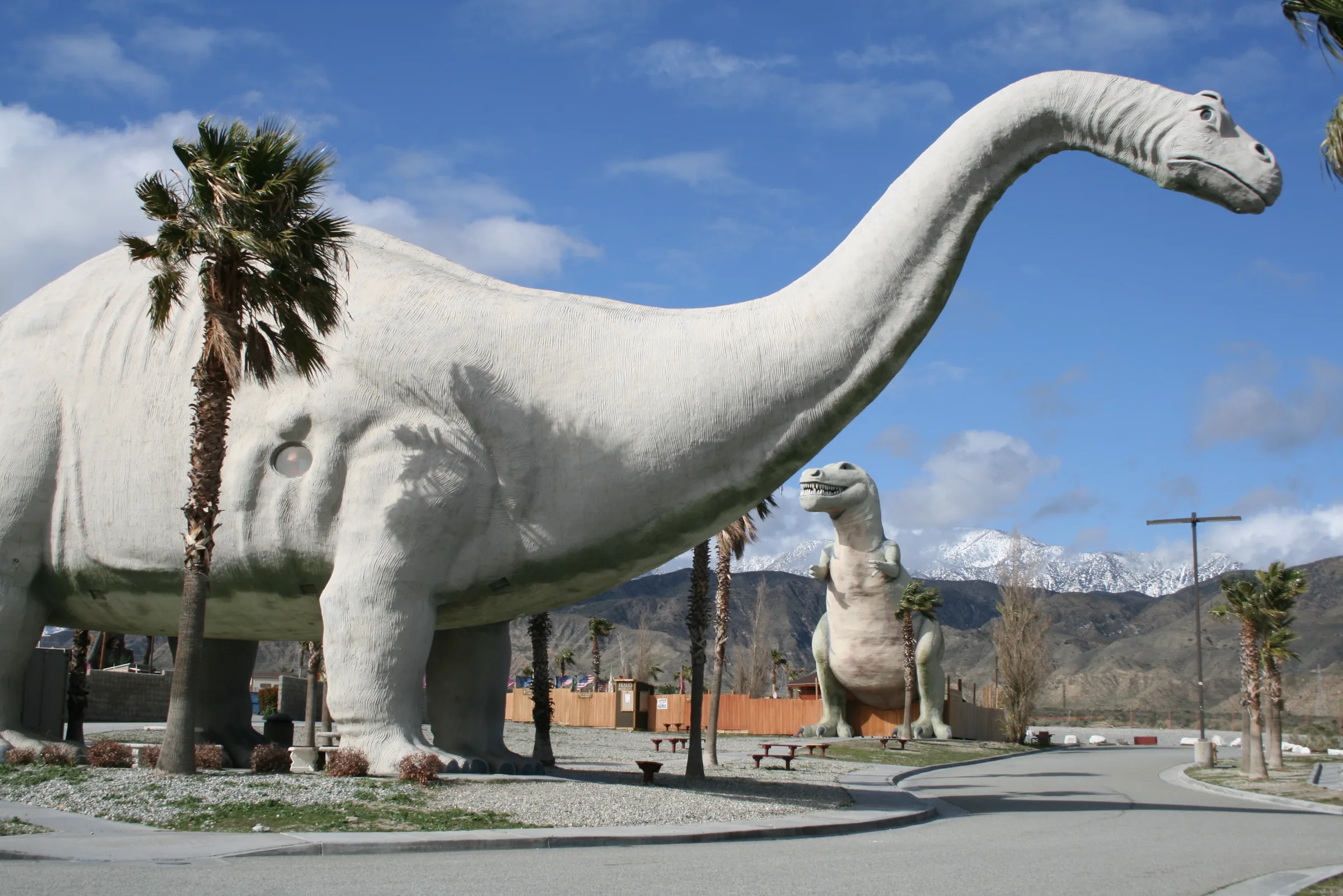
Getting here
Orange County to Joshua Tree
Anaheim sits about 105 miles from Yucca Valley, and Irvine almost exactly the same distance. The usual line is the 91 east through the Santa Ana Canyon, the 60 across Moreno Valley and the Badlands, then Interstate 10 and Highway 62, with Stargaze Escape about 15 minutes north of Yucca Valley's supermarkets on Highway 247. Routing services put the drive to town at a little over two hours on clear roads. The 91 decides whether you get anywhere near that, so most of the planning is about that one canyon.
The freeways in order
From central Orange County, take State Route 91 east through the Santa Ana Canyon and Corona to Riverside, about 38 miles and three-quarters of an hour from Anaheim with no traffic. In Riverside the route picks up State Route 60 east, which shares a short stretch with Interstate 215, then continues through Moreno Valley and over the Badlands grade to Beaumont. At Beaumont the 60 merges into Interstate 10. Stay on the 10 east through Banning and Cabazon to the Highway 62 exit, then go north about 20 miles into Yucca Valley. The house is a further 15 minutes or so north on Highway 247.
A mapping service puts Anaheim to Yucca Valley at about 105 miles and a little over two hours, and Irvine at about 106 miles in about the same time. From Riverside onward it is roughly 68 miles, and from Beaumont about 43 miles and under an hour. Treat all of these as free-flow figures. From Irvine, a router may send you north on the 261 to reach the 91, and the 261 is a toll road; set your app to avoid tolls if you would rather not pay.
Getting through the 91
The Santa Ana Mountains leave very few direct routes between Orange and Riverside counties, so the 91 carries a heavy daily commute between jobs in Orange County and homes in Riverside County. Traffic reporters have long called it the Corona Crawl.
The 91 Express Lanes
The 91 Express Lanes are 18 miles of toll lanes in the middle of the freeway, from the 55 in Anaheim to Interstate 15 in Corona. Every vehicle in them must carry a FasTrak transponder; the lanes do not take cash or bill by license plate. Carpools of three or more ride free at most times with a transponder set for carpool use, but pay half the posted toll heading east between 4pm and 6pm on weekdays, which tells you when that direction is busiest. Tolls change with demand and are posted at each entry, so check the current rules before you go.
When to go
Because the evening commute flows east toward Riverside County, a weekday afternoon is the hardest time to start this drive. A mid-morning weekday start, after the westbound morning rush has peaked, tends to be the smoother choice. AAA's general advice for busy periods applies here: avoid weekday commute hours, and on holidays leave bright and early or after the evening commute. In April, Caltrans has warned in past years that the 60 between Moreno Valley and Beaumont and the 10 from Beaumont to Indio both slow on the Coachella weekends, eastbound on the Friday and westbound on the Sunday.
Other ways east
If you live in north Orange County, or the 91 is solid red, the 57 north to the 60 east is the other freeway line. It runs through the Pomona area and Ontario before reaching Riverside and Moreno Valley, about 110 miles from Anaheim to Yucca Valley by a mapping estimate. It adds a few miles but can save time when the canyon is blocked.
Ortega Highway and Highway 74 over the mountains
From south Orange County there is a slow scenic option for a day with no deadline. State Route 74, the Ortega Highway, leaves Interstate 5 in San Juan Capistrano and crosses the Santa Ana Mountains through the Cleveland National Forest to Lake Elsinore, about 33 miles and 50 minutes. It is narrow and carries a lot of traffic, and it is known as one of the more dangerous highways in the state, so drive it in daylight and without hurry. From Lake Elsinore, local roads lead about 26 miles east to Hemet.
From Hemet, Highway 74 climbs the San Jacinto Mountains as the Palms to Pines Scenic Byway, a National Forest Scenic Byway. At Mountain Center it meets Highway 243, the road to Idyllwild, then drops in a long series of curves to Palm Desert, about 56 miles from Hemet. From Palm Desert it is about 42 miles to Yucca Valley by Interstate 10 and Highway 62. In all, it comes to about 175 miles from Irvine and roughly four hours of driving before stops. Storm damage and roadwork have closed these mountain highways at times, so check Caltrans before you choose it. Our Idyllwild day trip guide covers the mountain town if you want to stop.
Riverside and the Mission Inn
The main route passes right by downtown Riverside, at the junction of the 91 and the 60, and the Mission Inn is a worthwhile hour off the freeway. It began as the Glenwood Cottage in 1876. Frank Miller bought it in 1880, renamed it the Glenwood Mission Inn in 1902, and kept building until 1931. The result is often described as the largest Mission Revival building in the United States, with Spanish Colonial and Moorish touches. It was named a National Historic Landmark in 1977.
Things to look for include the St. Francis Chapel, with eight stained-glass windows by Louis Comfort Tiffany; Miller's collection of more than 800 bells; and the Famous Fliers' Wall, which honors 151 aviators, Amelia Earhart among them. Presidents Theodore Roosevelt, Nixon and Reagan all visited, and each holiday season the inn puts on its Festival of Lights. It is a working hotel, so check what is open to visitors who aren't staying; the Festival of Lights in the 2025 season ran from late November into early January with free admission. Downtown Riverside has fast chargers if you want to charge while you walk, though sites change, so check an app.
Oak Glen above Beaumont
From Beaumont, at the junction of the 60 and Interstate 10, a side road climbs to Oak Glen, an apple-growing community in the foothills of the San Bernardino Mountains at about 4,700 feet. A routing service puts it roughly 15 miles and half an hour from Beaumont. The first orchard went in in 1876, and some growers still raise antique varieties that are hard to find elsewhere, such as Ben Davis, Gravenstein and Pink Pearl.
Los Rios Rancho, run since 1906, calls itself the largest and oldest apple farm in Southern California. It lists apple picking from August to November, berries from May to October and pumpkins in September and October, along with baked goods and slow-cooked meats, and its site names the Oak Glen Cider Company among its businesses. Its hours at the time of writing were 10am to 5pm daily, subject to weather. It makes a good lunch stop in the fall, about an hour and a half from the house by way of Beaumont.
Charging and fuel at Beaumont
Beaumont is the natural stop on this route because the 60 and the 10 meet there. It has Tesla Supercharger sites, and the federal charging database also lists fast chargers from other networks around town. Farther back, Corona at the east end of the Santa Ana Canyon and Moreno Valley have fast chargers too. Gas is plentiful along all three freeways.
After Beaumont, the next fast chargers are in Cabazon, about 10 minutes on, and then Yucca Valley at the end. There is no gas or charging inside the national park, so arrive with enough range for your first park day. Station lists change often; check your car's planner or a charging app before you leave home.
Markets for the first night
Yucca Valley's two Stater Bros. stores on Highway 62, a quarter of an hour or so from the house, cover dinner and breakfast in one quick stop. If your timing lines up, the Morongo Basin also has weekly farmers markets. The newest opened in Yucca Valley's Old Town in April 2026 and runs on Wednesday mornings from 8am to 1pm at Founders Plaza. The Joshua Tree Certified Farmers Market sets up on Saturday mornings, roughly 8am to 1pm, in downtown Joshua Tree, and Twentynine Palms has a Saturday market too. Check before you plan a morning around one. Our farmers markets guide has the details. The house has a full kitchen and an outdoor grill, so a market haul goes a long way.
From Beaumont to the house
The last 43 miles go quickly. Interstate 10 runs east through Banning and Cabazon and out of the San Gorgonio Pass, past the wind turbines, to the Highway 62 interchange a few miles beyond the Whitewater exit. Highway 62 then climbs north through Morongo Valley and into Yucca Valley, about 20 miles and roughly half an hour from the freeway. In Yucca Valley, turn north onto Highway 247 (Old Woman Springs Road) for the last 15 minutes or so to the house. Our Highway 62 guide describes the climb and the towns.
If you have time to spare on the way up, Desert Hot Springs lies a short way off Highway 62 on the low-desert side, about 45 minutes from the house, and Cabot's Pueblo Museum there makes an unusual detour. For the final turns to the house, use the directions on our getting here page, and save them to your phone before you lose good signal.
Coming home to Orange County
The return trip meets the same canyon from the other side. The weekday morning commute on the 91 flows west, from homes in Riverside County to jobs in Orange County, so leaving the house at dawn on a weekday can put you in the Santa Ana Canyon at the wrong moment. A routing service puts Yucca Valley to Corona at about 82 miles and an hour and a half to three-quarters, plus 15 minutes down Highway 247 from the house, so a late-morning start lands you in the canyon in the early afternoon, after the westbound morning rush and ahead of the eastbound evening one. Westbound, carpools of three or more with a transponder ride the 91 Express Lanes free on weekdays.
Weekends work differently. Sunday afternoon is the busiest time on Interstate 10 westbound through Banning and Beaumont, so on a Sunday either leave early or slow the day down: lunch in Oak Glen, an afternoon at the Mission Inn, and the last hour home after the traffic has eased. Fill up or charge in Yucca Valley before you start down the hill.
Orange County drive checklist
- Distance and time. About 105 miles from Anaheim or Irvine to Yucca Valley, plus about 15 minutes up Highway 247 to the house; a little over two hours to town with no traffic, often longer on weekday afternoons.
- The canyon. The 91 through the Santa Ana Canyon is the slow part. Check live traffic before you choose between the 91 and the 57 to the 60.
- Transponder. The 91 Express Lanes need a FasTrak transponder for every vehicle, carpools included.
- Toll road. The 261 from Irvine is tolled; your app can route around it.
- Charging. Beaumont is the best-placed fast-charging stop; Cabazon and Yucca Valley follow.
- Scenic route. Ortega Highway and Highway 74 over the San Jacintos take about four hours; check Caltrans for closures first.
Ready to pick a weekend? See open dates for the house, and read driving to Joshua Tree in the journal for heat, water and the desert-driving basics.
Keep exploring
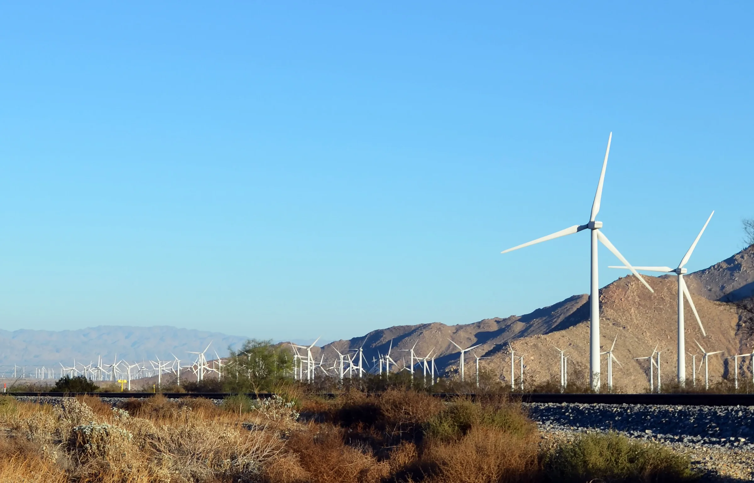
Los Angeles to Joshua Tree
Driving from Los Angeles to Joshua Tree: the I-10 and Highway 62 route, miles and drive time, when to leave, toll lanes, EV charging and stops in Cabazon.
Read →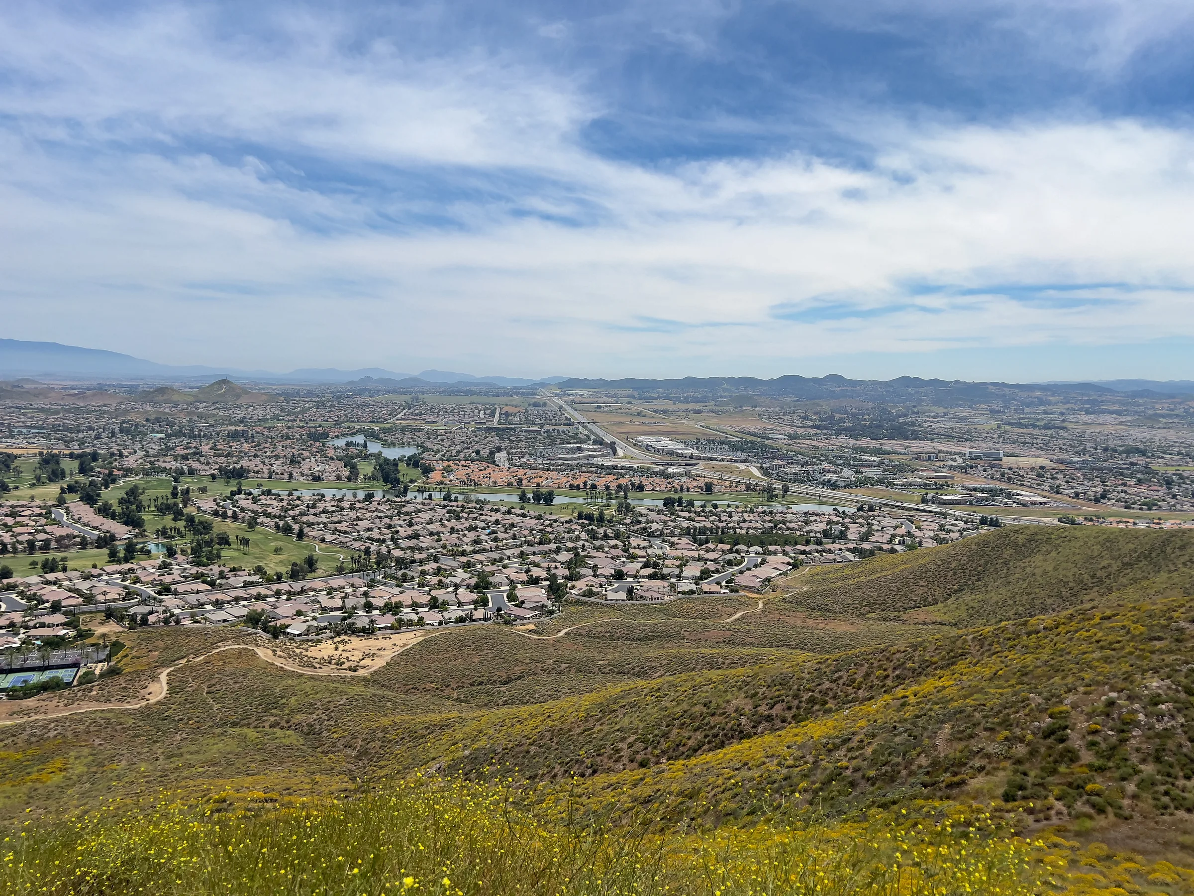
San Diego to Joshua Tree
Driving from San Diego to Joshua Tree: I-15 and Highway 79, or the desert way through Julian, Anza-Borrego and the Salton Sea. Miles, times, charging and stops.
Read →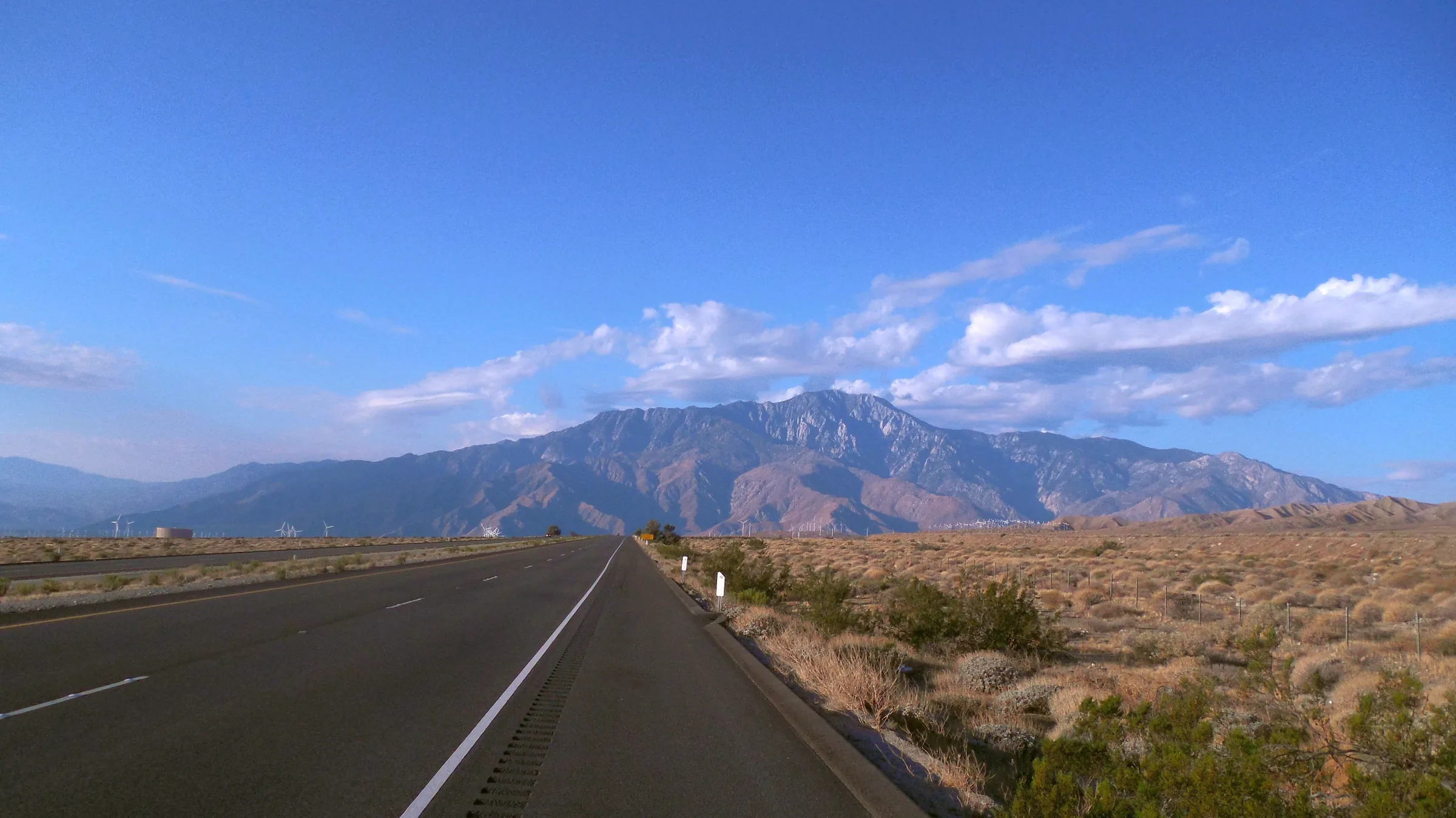
San Francisco to Joshua Tree
Driving from San Francisco to Joshua Tree: I-5, Route 58 over Tehachapi Pass, Barstow and Route 247 to Yucca Valley, with miles, drive time, charging and stops.
Read →