


































































































Day trips
Amboy Crater & Route 66
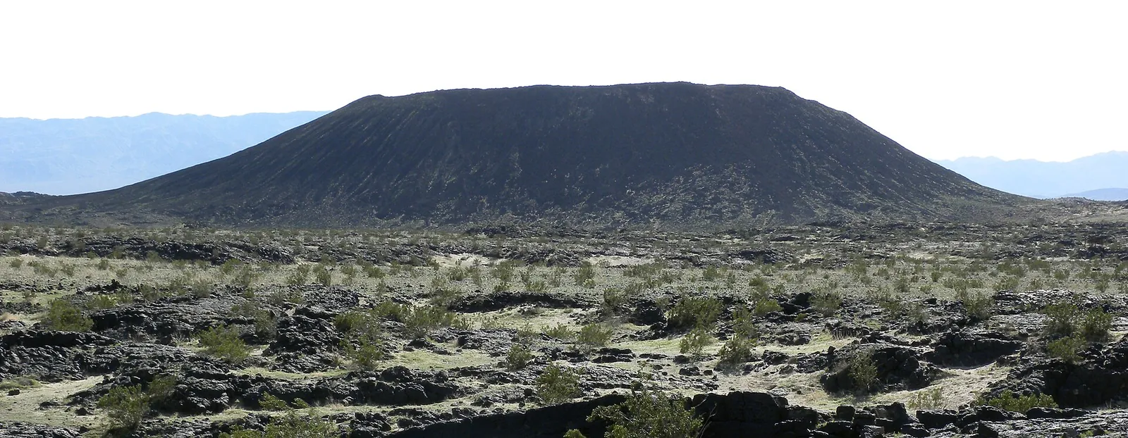
Amboy Crater is a symmetrical cinder cone about 250 feet high, standing in a black lava field just south of old Route 66. A few minutes away, the town of Amboy is home to Roy's and its 1959 sign. From the house it's roughly an hour and three-quarters each way through Twentynine Palms and up Amboy Road, which makes a good cool-season half day, or a full one if you keep going into the Mojave.
The crater
The cone is built of ash and cinders, about 250 feet high and 1,500 feet across. It was named a National Natural Landmark in 1973 and sits in one of the youngest volcanic fields in the country. Lava broke out through a gap in the cone's west side and spread across roughly 24 square miles, leaving lava lakes, collapsed lava tubes, spatter cones and thick basalt flows. Inside the crater, two lava dams hold back small lava lakes. Published estimates put the cone at roughly 79,000 years old, with its last eruption around 10,000 years ago.
Since 2016 the crater has been part of Mojave Trails National Monument, about 1.6 million acres of Bureau of Land Management desert that links Joshua Tree National Park with Mojave National Preserve and takes in about 100 miles of Route 66.
The hike
The trail leaves the parking area, crosses the flat lava field to the break in the cone's west wall, then climbs switchbacks to the rim. The last pitch is a scramble of roughly 80 feet. Most guides call it about 3 miles round trip, or about 3.7 miles if you walk the full rim loop, with roughly 400 feet of total climbing. Allow an hour and a half to two hours. The BLM has built rest stops along the way, but shade is limited, the dark lava intensifies the sun and heat, and the footing is loose, so wear proper hiking shoes.
If you'd rather not hike, the trailhead has an accessible shaded overlook with a view of the cone, plus picnic tables, shade ramadas and an accessible vault toilet. There is no running water.
Heat
Take the heat seriously; hikers have died here from heat and dehydration. The BLM warns there's little to no cell service and emergency help is far away. Its bare minimum is a liter of water per person plus electrolytes, while the Twentynine Palms visitor bureau says bring at least a gallon each, and that's the better rule. Start early, because temperatures climb fast by early afternoon, and skip the climb in summer.
Roy's and Amboy
Amboy had no permanent residents as of 2024. Roy's opened here in 1938 as a service station and grew in the 1940s into a café, garage and motel with small bungalows. Its 50-foot neon arrowhead sign, a well-known piece of mid-century Googie design, went up on February 1, 1959. Albert Okura bought the property in 2005 to restore it; the gas station reopened in 2008, and the sign was relit in 2019.
The gas station and a small gift shop with Route 66 souvenirs, snacks and sodas are open. At last check the café was still being readied to reopen and the cottages were under restoration, so bring your own lunch. Roy's is the first gas after Twentynine Palms, but fill up before you leave town anyway.
Route 66 in the Mojave
Route 66 reaches its 100th anniversary in 2026, and the Mojave Trails monument protects its longest remaining undeveloped stretch. The road has had a hard decade. Flash floods about ten years ago damaged dozens of Route 66 bridges in this part of the desert, and San Bernardino County has been replacing the aging ones since. In early 2025 the road west to Ludlow was open while the stretch from Kelbaker Road east to Essex was closed for bridge work, and a $24 million contract to replace 10 more bridges near Amboy was set to run from December 2025 into April 2027. Check San Bernardino County Public Works for closures before you drive Route 66 beyond Amboy.
Getting there
Take Highway 62 east to Twentynine Palms, about 30 minutes. From there, Amboy Road runs north across open desert to Route 66 at Amboy, and the Twentynine Palms visitor bureau puts the drive from downtown to the crater at about 50 minutes (allow a little more). At Amboy, head west on Route 66 to Crater Road, which leads to the trailhead a couple of miles from town. There's no service station between Twentynine Palms and Amboy.
When to go
Late fall through early spring. The Twentynine Palms visitor bureau and CalWild both point hikers to roughly October through April. Start at first light so you're on the lava during the coolest part of the day. On the way home you pass back through Twentynine Palms; our Twentynine Palms guide has ideas for a stop, though the park closed the paved Oasis of Mara trail after flood damage in September 2025, so check the park's alerts before you plan a walk there. Read our desert safety notes before you go.
Know before you go
- Fuel. Fill up in Twentynine Palms. The next gas is Roy's in Amboy.
- Water. A gallon per person, plus electrolytes and salty snacks. There's no water at the trailhead.
- Signal. Little to no cell service. Download offline maps and tell someone your plan.
- Season. Hike only in the cool months and start early.
- Fees. No entrance fee was listed for the crater area at last check.
- Roads. Route 66 east of Amboy has had long bridge closures. Check county road status first.
To make it a full day, carry on to Mojave National Preserve and the Kelso Dunes, or browse more classic desert road trips. Back at the house, the car bed is a good place to watch the stars come out. Check dates for your trip.
Keep exploring
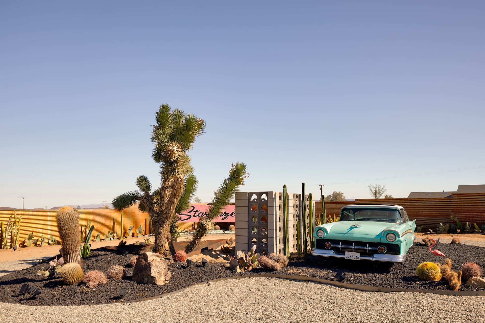
Coachella & Stagecoach: Basing Yourself in the High Desert
Staying up in the high desert for Coachella or Stagecoach — a calmer, often cheaper base about an hour from the Indio polo fields. The trade-offs, the traffic and how to plan.
Read →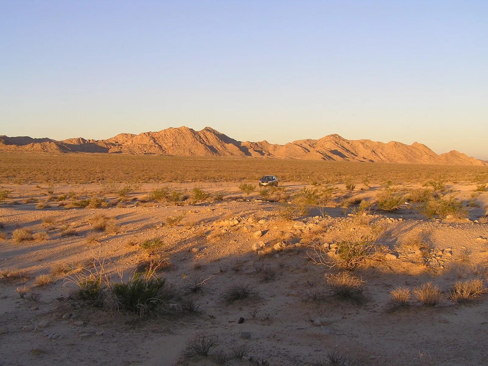
Three Classic Desert Road Trips
Three classic road trips from the high desert — Route 66 and Roy's Café at Amboy, the surreal Salton Sea and Salvation Mountain, and an easy Pioneertown loop. Distances and desert-driving tips.
Read →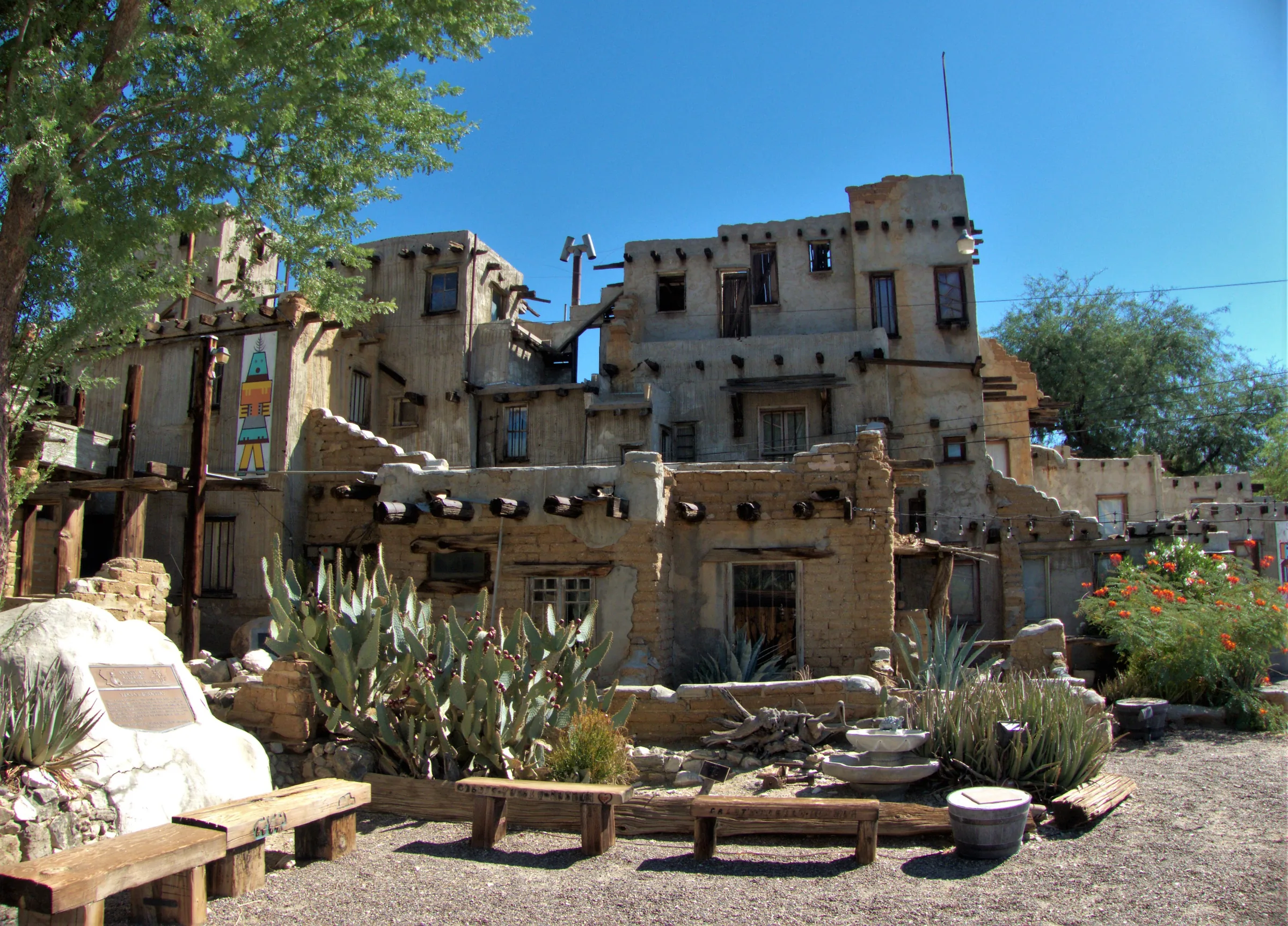
Cabot's Pueblo Museum, Desert Hot Springs
Cabot Yerxa's hand-built, Hopi-inspired pueblo in Desert Hot Springs: 35 rooms of reclaimed materials, guided tours, 2026 hours and prices, and nearby stops.
Read →