


































































































Joshua Tree & nature
Lost Horse Mine
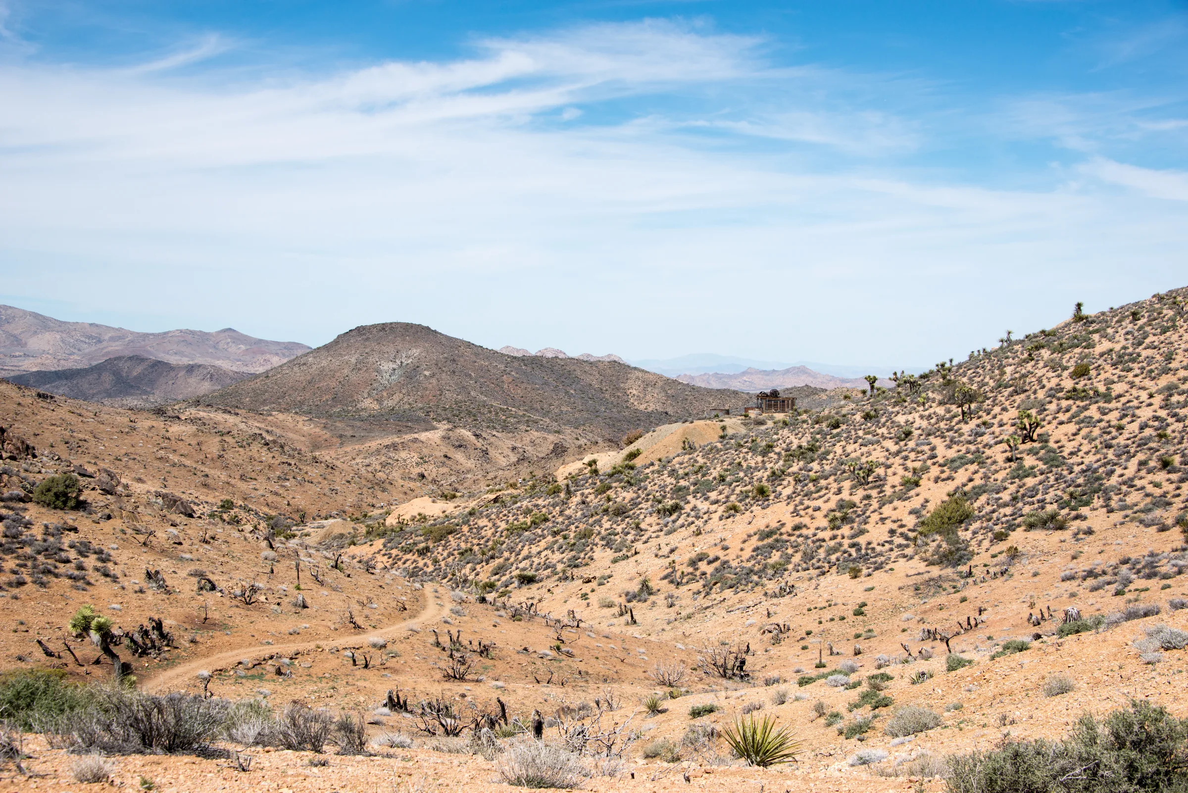
Lost Horse Mine was one of the few gold mines in Joshua Tree that paid off, and its ten-stamp mill still stands at the site. A 4-mile round-trip trail with about 550 feet of climbing leads to it from a short dirt road off Keys View Road. It's roughly an hour from the house and fits well into a day that ends at Keys View.
The mine and its history
The park service says there were more than 300 mines in what is now the national park, and Lost Horse was one of the few that made real money. Its story, as the park tells it from the account of homesteader William Keys, starts around 1890, when Johnny Lang and his father arrived in Lost Horse Valley. Their horses went missing, and Johnny tracked them to the McHaney brothers' camp near today's Keys Ranch, where he was told to leave. He then met a prospector known as "Dutch" Frank, who had found a rich claim but was afraid to develop it because the McHaneys had threatened him too. The Langs bought the rights for $1,000 and named the claim Lost Horse. Lang took on three partners to lower the risk of claim-jumping.
In 1895 J.D. Ryan, a wealthy rancher from Montana, bought out the partners. Ryan found a ten-stamp mill near the Colorado River, had it taken apart and hauled to the site, and ran a two-inch pipeline 3.5 miles from wells at his ranch to a reservoir near the mill, pushing the water up a 750-foot rise to make steam. Each of the ten stamps weighed 850 pounds. They crushed ore into a slurry that washed over mercury-coated copper plates, which caught the gold.
The park also tells the story of how Lang left. As the story goes, the day shift produced a lump of gold amalgam the size of a baseball, while the night shift, supervised by Lang, recovered one the size of a golf ball. Ryan hired a detective, who found that Lang was keeping half for himself, and Lang was given a choice between selling out and going to jail. He sold. He reportedly died of exposure in the winter of 1925 near what is now Keys View Road.
The park credits the mine with more than 10,000 ounces of gold and 16,000 ounces of silver between 1894 and 1931 (one park page gives a more modest 9,000-plus ounces of gold). In 1905 miners hit a fault and lost the vein, and only limited reworking of old tailings followed. The site has been protected since the national monument was created in 1936. The park calls the mill one of the best preserved of its kind in the national park system, it is listed on the National Register of Historic Places, and park staff worked with university researchers on preservation of the mill structure in 2019.
The trail
To reach the trailhead, turn off Park Boulevard onto Keys View Road, drive 2.4 miles, then turn onto Lost Horse Mine Road and follow that dirt road for about a mile. The park lists a restroom at the trailhead. The parking lot is small, and the park warns it fills quickly on busy weekends, holidays and spring break.
The out-and-back walk to the mill is about 4 miles round trip with roughly 550 feet of elevation gain. The park rates it moderate and allows two to three hours. Expect a mix of deep sand, hard-packed dirt, uneven rocky ground, steep inclines and some built rock steps; the park says it is not wheelchair accessible. At the top you'll find the stamp mill, mining equipment and artifacts, and the remains of an old cabin. There is limited shade, and the park describes cell service as unreliable.
The longer loop
The park also describes a loop that continues past the mill and returns to the same trailhead. Its pages disagree on the numbers, listing the loop at about 6.2 to 6.8 miles with roughly 900 to 1,300 feet of total climbing, and three to four hours of walking. Plan around the higher figures. Choose the loop only on a cool day with an early start and more water than you expect to need.
Mine safety
The mill site and the mine are fenced, and the park is clear about why: the ground is unstable, and historic structures that look solid can crumble under a person's weight. Stay outside the fences and away from any closed-off mine openings.
The wider park has about 300 abandoned mine sites, and the park estimates around 120 have a substantial opening that may be a safety hazard. Some mines also shelter bats, a few of them protected species. The park's short version of the rule is "stay out and stay alive." Keep children close around the mill, and leave every bolt, nail and piece of equipment where it lies; taking cultural artifacts from the park is illegal.
When to go
The park recommends this hike in winter, spring and fall and says there is very little shade, so it is not a summer hike. If you go in warm weather, the park advises starting before 8 am and bringing plenty of water. A weekday morning gives you the best chance at a space in the small lot.
Getting there and nearby
From the house it's about 25 minutes to the West Entrance, then roughly 10 miles on Park Boulevard to Keys View Road and the short drive to the trailhead. Plan on about 50 minutes to an hour each way. There's no gas or water for sale in the park, so fill up in Yucca Valley.
Keys View is at the end of the same road, so a morning at the mine and a stop at the overlook make a natural pair. If the mining history draws you in, the guided Keys Ranch tour covers the homesteading and mining family who lived in the park for decades. For more trails of this length, see our list of the best hikes in Joshua Tree.
Know before you go
- Dogs. Dogs and emotional support animals are not allowed on this or any park trail. Leashed pets may be within 100 feet of roads, parking areas and campgrounds, on a leash six feet or shorter. Our post on visiting Joshua Tree with a dog has the details.
- The dirt road. The last mile to the trailhead is unpaved. After heavy rain, check the park's alerts, since dirt roads can close for storm damage.
- Water. None at the trailhead or on the trail. Carry plenty and drink when you're thirsty.
- Mine safety. Stay outside the fenced mill and mine. Do not climb on the structures.
- Entrance fee. A private vehicle pass was $30 for seven days when we checked. Confirm with the park.
- Signal. Cell service is unreliable. Download an offline map before you go.
After a dusty climb, a soak in the hot tub back at the house goes a long way. When you're ready, check dates.
Keep exploring
The Best Hikes in Joshua Tree National Park
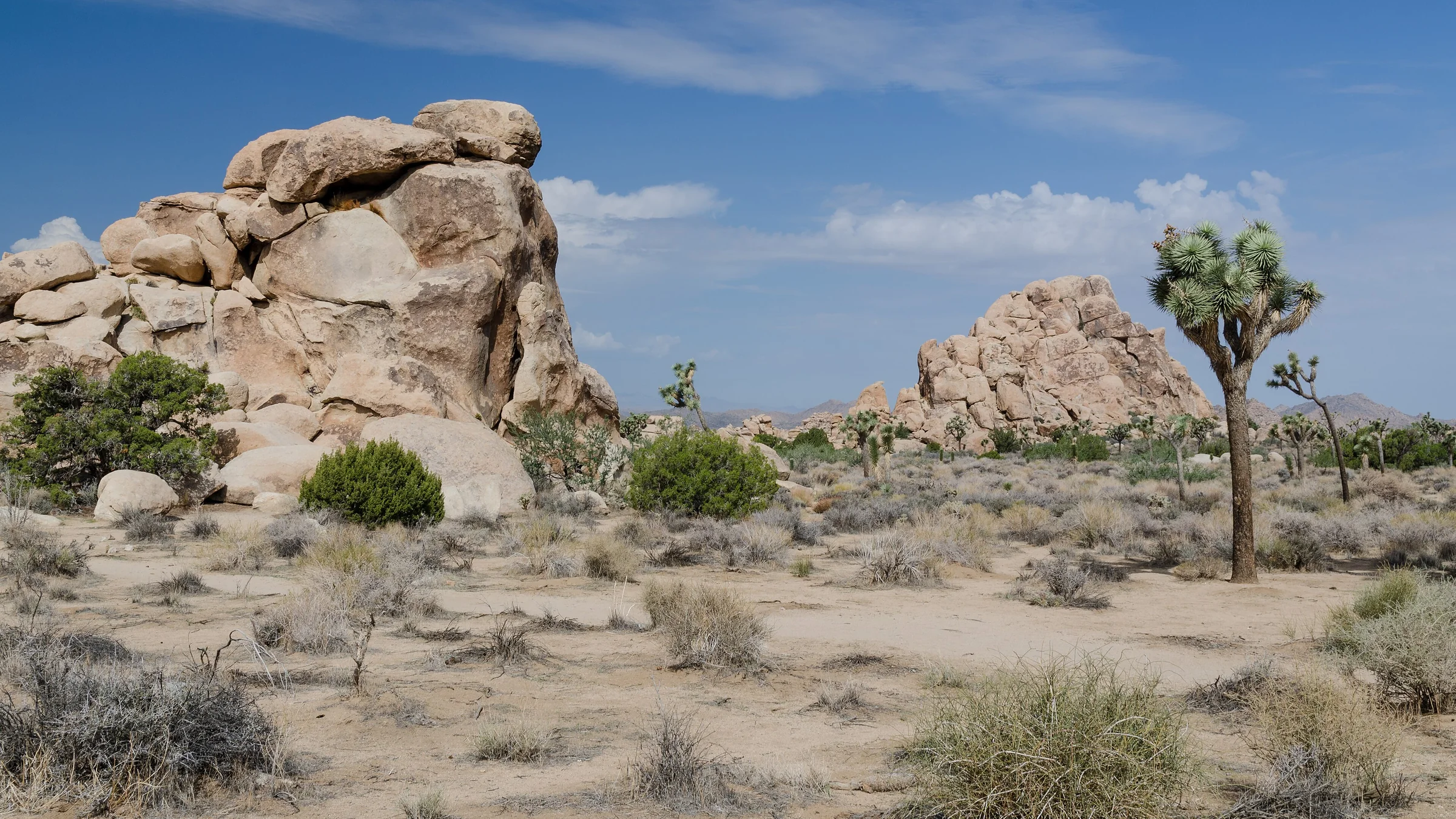
The best hikes in Joshua Tree, shortest to longest — Hidden Valley, Barker Dam, Ryan Mountain, 49 Palms Oasis and Lost Horse Mine, about 25 minutes from the house.
Read →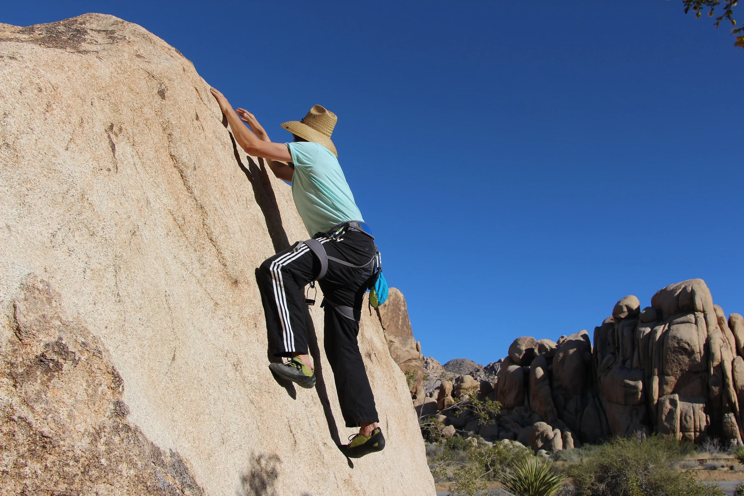
Rock Climbing & Bouldering in Joshua Tree
Joshua Tree is a world-class rock-climbing and bouldering destination. Where to start, when to go, how to climb it responsibly, and how to hire a guide if you're new.
Read →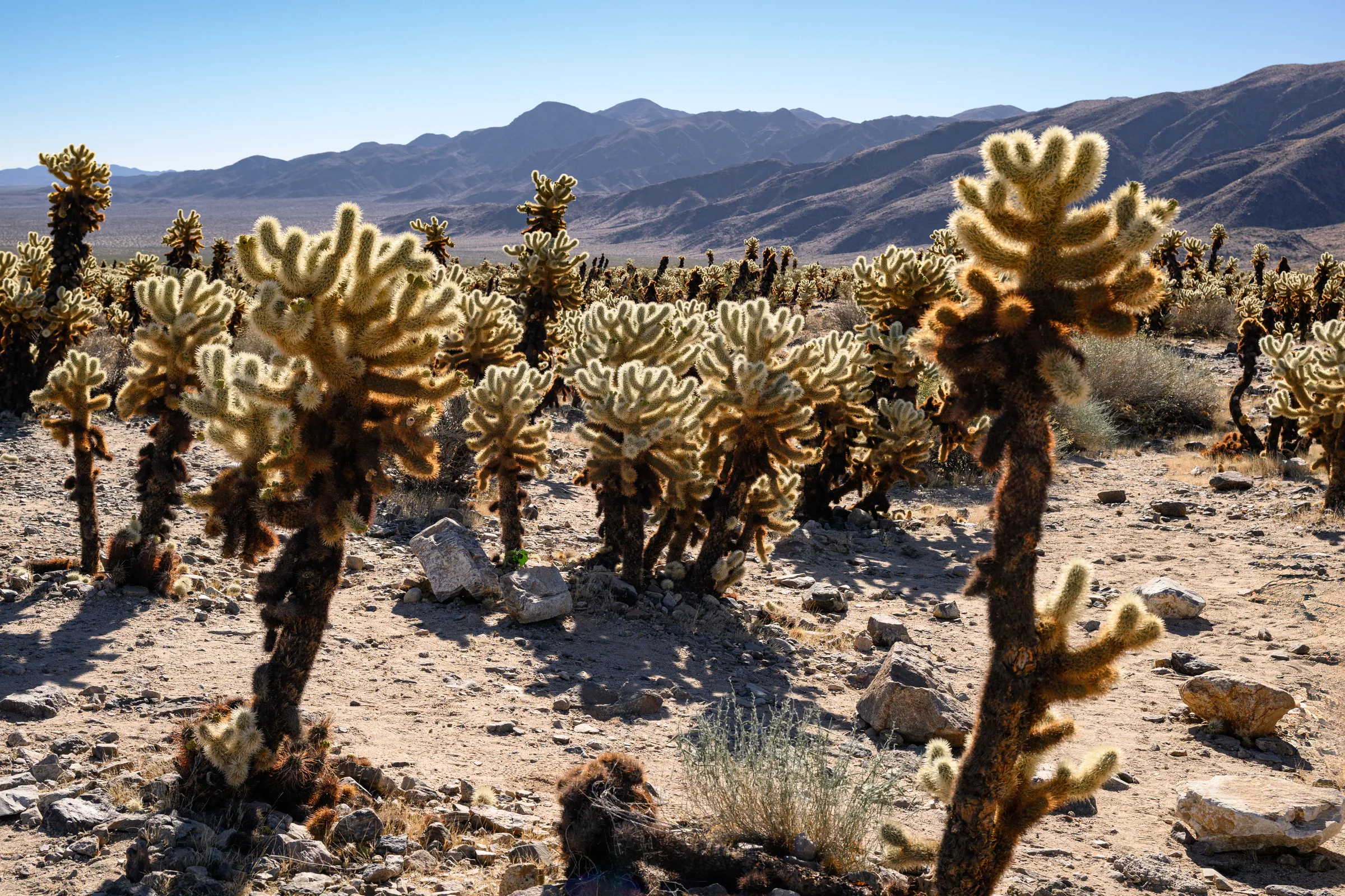
The Cholla Cactus Garden & the Park's Quiet South End
The Cholla Cactus Garden and Joshua Tree's quiet southern end — Cottonwood Spring, Lost Palms Oasis and the ocotillo patch, and how to do the drive from Yucca Valley.
Read →