


































































































Getting here
Los Angeles to Joshua Tree
From downtown Los Angeles to Yucca Valley is about 120 miles, and nearly all of it is one freeway: Interstate 10 east to the San Gorgonio Pass, then Highway 62 north for the last half hour. Stargaze Escape is a short way beyond, up Highway 247, about 15 minutes from the town's supermarkets. Routing services put the drive to Yucca Valley at roughly two and a quarter to two and a half hours on empty roads. The hour you leave decides most of the rest, so this guide starts with timing, then covers fuel, food and the stops worth making in the pass.
The route out of Los Angeles
Head east on Interstate 10 from downtown, through the San Gabriel Valley and Pomona. Ontario comes up about 37 miles in. The freeway carries on past Redlands and Yucaipa, then climbs through Beaumont and Banning into the San Gorgonio Pass. Cabazon, in the San Gorgonio Pass, is roughly 90 miles from downtown. About ten miles farther, past the Whitewater exit (exit 114), Highway 62 leaves the interstate at exit 117 and heads north. From that junction it is about 20 miles, roughly half an hour, to Yucca Valley. The final leg is Highway 247 north from town to the house, about 15 minutes.
From the Westside, add the crosstown run on the same freeway. Santa Monica to downtown is about 16 miles, so the whole drive comes to roughly 137 miles and about two and a half to three hours with clear roads. The National Park Service lists the park as about 140 miles east of Los Angeles, which lines up. Every figure here is a free-flow estimate from a mapping service. Treat it as the best case and look at live traffic before you set off.
You will have company. When San Bernardino County opened its new toll lanes in 2024, local coverage put this part of the I-10 corridor at nearly 300,000 vehicle trips a day, so even a normal weekday has slow patches between downtown and Redlands.
Toll lanes near Ontario
On August 29, 2024, San Bernardino County opened about 10 miles of express lanes on Interstate 10, two in each direction, from the Los Angeles County line to Interstate 15. More phases are planned to stretch the network to about 33 miles. The operator says a FasTrak account gets the lowest toll, and drivers without one can pay online within five days of the trip. Rules and prices change, so check the operator's site before you count on the lanes to get you around a jam.
When to leave
This corridor runs on a weekly rhythm. Friday evening is the worst time to head east toward the desert, and Sunday afternoon is the worst time to come back west, with the stretch through Banning and Cabazon as the usual bottleneck. A 2018 ABC7 report described bumper-to-bumper backups of up to 30 miles there on a bad weekend.
Holidays stretch it further. For the 2024 year-end holidays, AAA and the traffic-data firm INRIX forecast that the Los Angeles to Palm Springs drive on Interstate 10 would take 2 hours and 53 minutes at its worst moment, the evening of Sunday, December 22, about 81 percent longer than usual. AAA's advice in that forecast for peak periods is to stay off the road during weekday commute hours and, if you can, leave bright and early or after the evening commute.
Some plans that tend to work:
- A weekday after the morning rush. Leaving around 9:30 or 10 avoids the inbound commute and gives you a fair chance of reaching Yucca Valley by early afternoon, with time to shop before check-in (times are on our getting here page).
- Friday. Go before late morning, or wait until the evening has thinned out. A mid-afternoon Friday start puts you in the heaviest eastbound traffic of the week.
- Festival weekends. Coachella and Stagecoach fill Indio in April. In past years Caltrans has warned that Interstate 10 between Beaumont and Indio slows on those weekends, eastbound on the Friday and westbound on the Sunday, and suggests early mornings or waiting a day. Check the year's dates before you book; our guide to Joshua Tree in April covers the rest of that month.
The 60 as a second way out
From the south and east sides of the county, State Route 60 is the alternative. It runs east past Pomona and through Riverside to Moreno Valley, crosses a steep, winding stretch known as the Badlands, and joins Interstate 10 at Beaumont. A mapping service puts it at about 122 miles from downtown, within a few minutes of the 10 on a clear day.
The Badlands grade carries heavy truck traffic. In May 2022 a lane for trucks opened in each direction along nearly 5 miles of it, a $138 million project that widened that section from four lanes to six, which keeps big rigs out of the way on the climb. Caltrans has included the 60 between Moreno Valley and Beaumont in its festival-weekend warnings too. Since both freeways meet before the pass, pick whichever your traffic app favors at the moment you leave.
Fuel and charging on the way
Gas is easy to find along Interstate 10 through the Inland Empire. The planning point is the top of the pass, because once you turn onto Highway 62 the towns get smaller, and there are no gas stations at all inside the national park. If you are below half a tank, fill up in Banning or Cabazon before the climb, then top off in Yucca Valley before your first day in the park.
Electric cars have a good cluster of fast chargers in the pass. Cabazon has Tesla Supercharger sites and other networks' fast chargers around the Desert Hills Premium Outlets and Morongo Casino, and Beaumont, at the west end of the pass, has more. Fast chargers are scarce in Morongo Valley, so charge in the pass before the climb if you are running low. Yucca Valley has fast chargers on Highway 62 for the days you spend at the house. Chargers open, close and go out of service often, so confirm in your car's planner or a charging app on the day.
Food in Cabazon
Hadley Fruit Orchards has been selling dates, dried fruit and nuts since Paul and Peggy Hadley founded it in Banning in 1931. The shop on Morongo Trail in Cabazon also carries honey, jams and baked goods, and it has a café with a menu of its own. At the time of writing its site listed 8am on weekdays and 9am on weekends, closing at 7pm; check before you plan around it.
For a sit-down meal, most people wait. Yucca Valley is about 31 miles and 40 minutes from Cabazon by a routing estimate, and lunch in town puts you close to the markets and the house. If you are arriving late, eat in the Inland Empire before the pass, since restaurant hours in the high desert tend to be short and seasonal.
Stops worth the time
Cabazon Dinosaurs
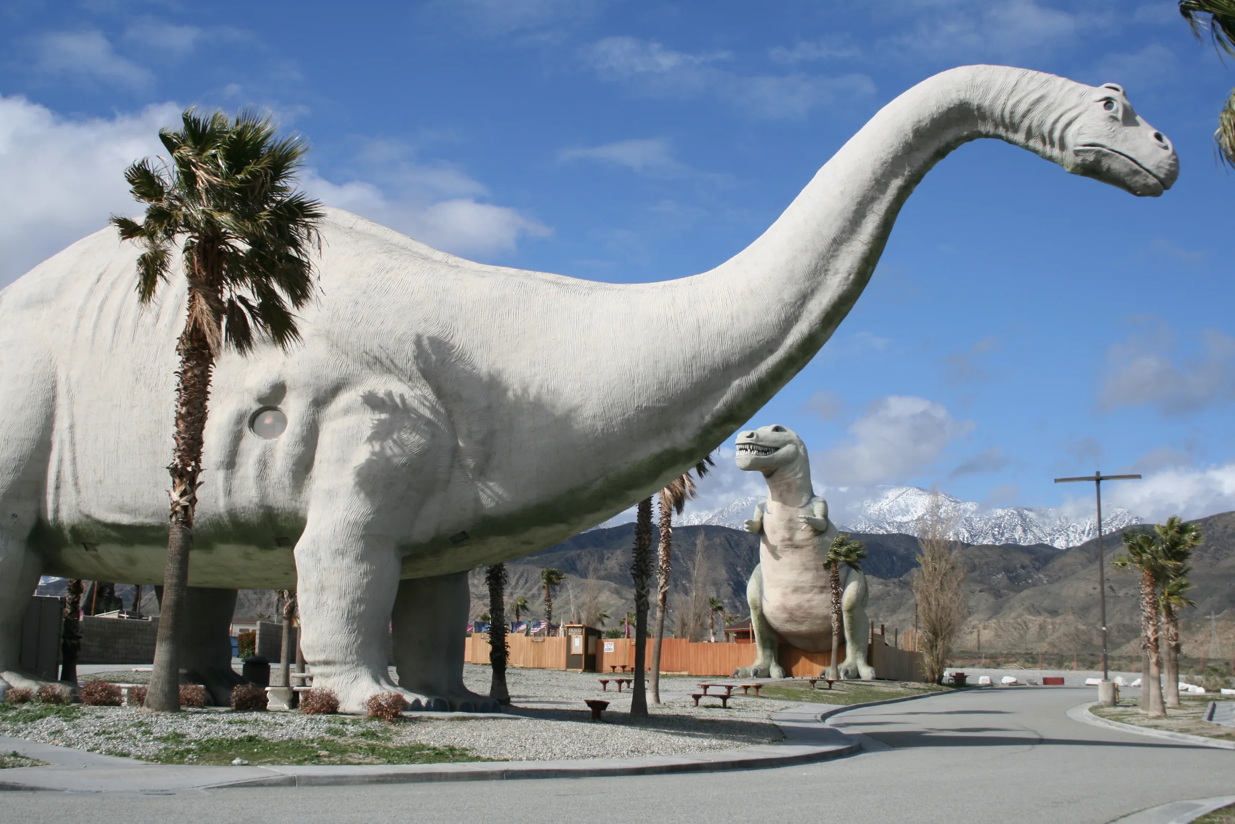
The giant dinosaur sculptures beside the freeway in Cabazon have been a roadside landmark for decades, and they turned up in films such as Pee-wee's Big Adventure. The site now counts more than 100 dinosaurs, along with a dino dig and a sluice for panning fossils and gemstones. Summer hours start at 9am and run into the early evening, and at the time of writing admission was $15 for ages 13 to 55, with tickets sold only at the door. Check the site for current hours and prices.
The San Gorgonio Pass wind farm
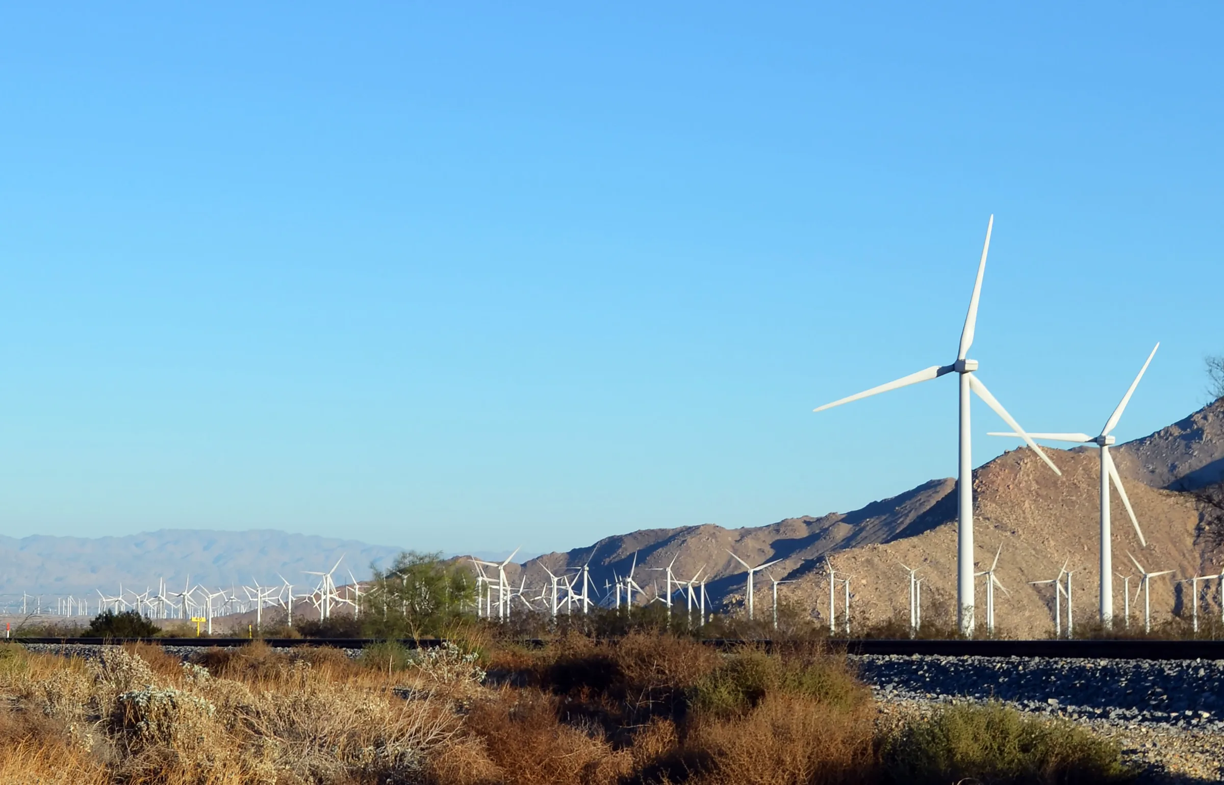
East of Cabazon the slopes fill with wind turbines. The San Gorgonio Pass Wind Farm runs from the eastern slope of the pass near Cabazon to North Palm Springs, and the pass is one of the most consistently windy places in the United States. Building began in 1982. Since then the farm has been repowered from more than 4,200 small turbines in 1987 to 667 larger ones, about 656 megawatts as of 2025. You see it well from the freeway, so there is no need to pull over.
Whitewater Preserve
The Whitewater exit, just before Highway 62, leads a few miles up Whitewater Canyon Road to a free 2,246-acre preserve where the Whitewater River runs all year. Leashed dogs are welcome, and the preserve lists hours of 8am to 5pm. It makes a good leg-stretch on the way in or a slow morning on the way home. Our Whitewater Preserve guide has the trails and what to check before you go.
Big Morongo Canyon Preserve
On Highway 62 itself, in Morongo Valley, Big Morongo Canyon Preserve has running water, a marsh and a boardwalk through cottonwoods and willows, and it is one of the region's well-known birding sites. Entry is free, the preserve opens in the morning and closes at sunset, and it is about 15 minutes up from the freeway, so it fits even on arrival day. See the Big Morongo Canyon guide for the trails.
Last groceries before the house
Yucca Valley is where to stock the kitchen. It has two Stater Bros. supermarkets on Highway 62, about 15 minutes from the house, so most guests shop on the way through and arrive with everything for the first night. There are no grocery stores inside the park. If you want specialty items from the city, pack a cooler; the last leg from the pass is short. Our guide to groceries and supplies in Yucca Valley covers the stores in town.
The climb up Highway 62
Highway 62 begins at an interchange at the eastern end of the San Gorgonio Pass, northwest of Palm Springs, and heads north into the Little San Bernardino Mountains. Its official name is the Twentynine Palms Highway, and it is the main road through the Morongo Basin. The first town is Morongo Valley, about 10 miles and 15 minutes up from the interstate. Yucca Valley follows at roughly 20 miles. By then you have climbed to about 3,300 feet, which is why the town usually runs cooler than Palm Springs on the same afternoon. At the Highway 247 junction in Yucca Valley, turn north (Old Woman Springs Road); the house is on that road, about 15 minutes along.
Save the house directions to your phone before you leave Los Angeles, since coverage in and around the park is patchy. The exact arrival steps and parking are on our getting here page, and the Highway 62 guide describes the corridor town by town, from the airports to the high desert.
The drive home
Checkout time is on our getting here page. A late-morning start on a Sunday puts you in the pass around midday, at the front edge of the westbound build-up. Two ways around it work well. Leave early, with breakfast on the road, and be through Banning before the afternoon. Or make a day of it: a morning at Whitewater or in Palm Springs, an early dinner, and a start after dark when the freeway has thinned. A Monday departure, if your schedule allows one, skips the Sunday crowd. Whichever you choose, fuel up in Yucca Valley or Cabazon and check traffic before you commit.
Know before you go
- Distance and time. About 120 miles from downtown and 137 from Santa Monica to Yucca Valley, plus about 15 minutes up Highway 247 to the house; roughly two and a half to three hours on clear roads, and much longer on Friday afternoons and holiday weekends.
- Bottleneck. The San Gorgonio Pass around Banning and Cabazon, in both directions.
- Tolls. The express lanes near Ontario take a FasTrak account or an online payment within days of use; confirm the current terms.
- Charging. Cabazon and Beaumont have the most fast chargers on the route; they are scarce in Morongo Valley.
- Groceries. Shop in Yucca Valley on the way in; the park has no stores.
- April. Check Coachella and Stagecoach dates before you pick a Friday.
Once the drive is planned, check dates for the house. Our journal post on driving to Joshua Tree covers desert-driving safety and the routes from other cities.
Keep exploring
Orange County to Joshua Tree
Driving from Orange County to Joshua Tree: the 91, the 60 and I-10 to Highway 62, miles and drive time, the 91 Express Lanes, charging in Beaumont and stops.
Read →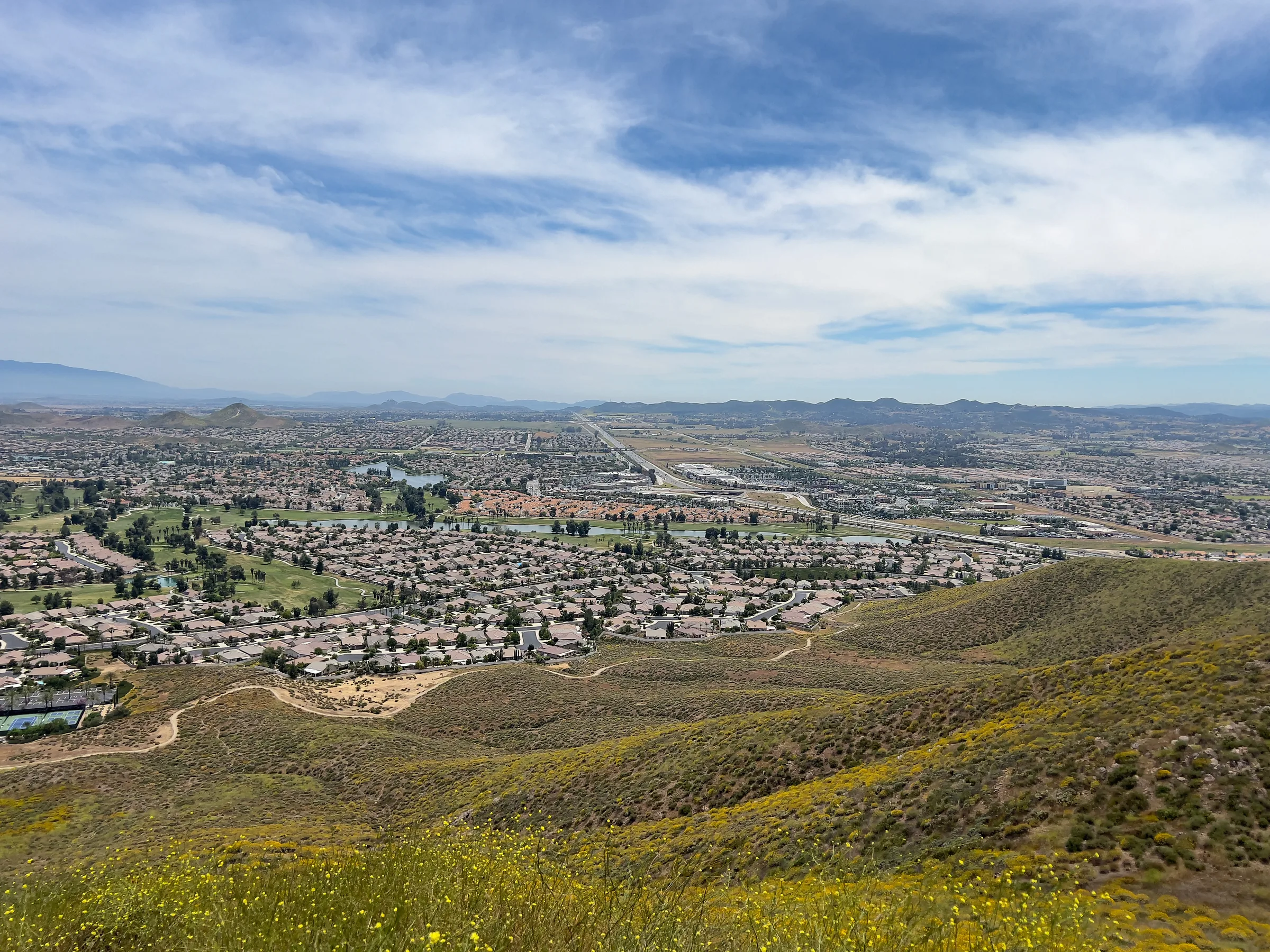
San Diego to Joshua Tree
Driving from San Diego to Joshua Tree: I-15 and Highway 79, or the desert way through Julian, Anza-Borrego and the Salton Sea. Miles, times, charging and stops.
Read →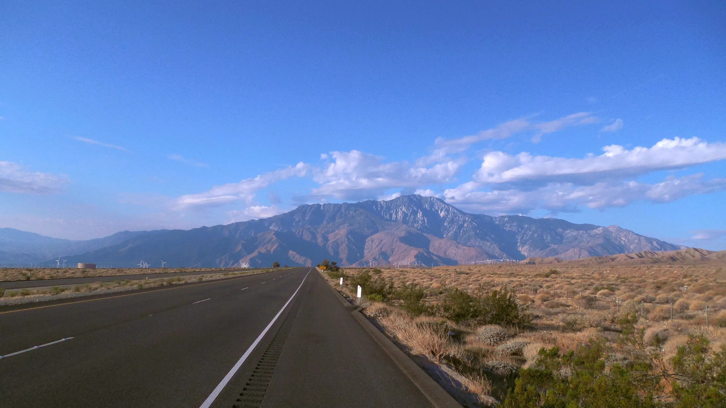
San Francisco to Joshua Tree
Driving from San Francisco to Joshua Tree: I-5, Route 58 over Tehachapi Pass, Barstow and Route 247 to Yucca Valley, with miles, drive time, charging and stops.
Read →