


































































































Joshua Tree & nature
Black Rock Canyon
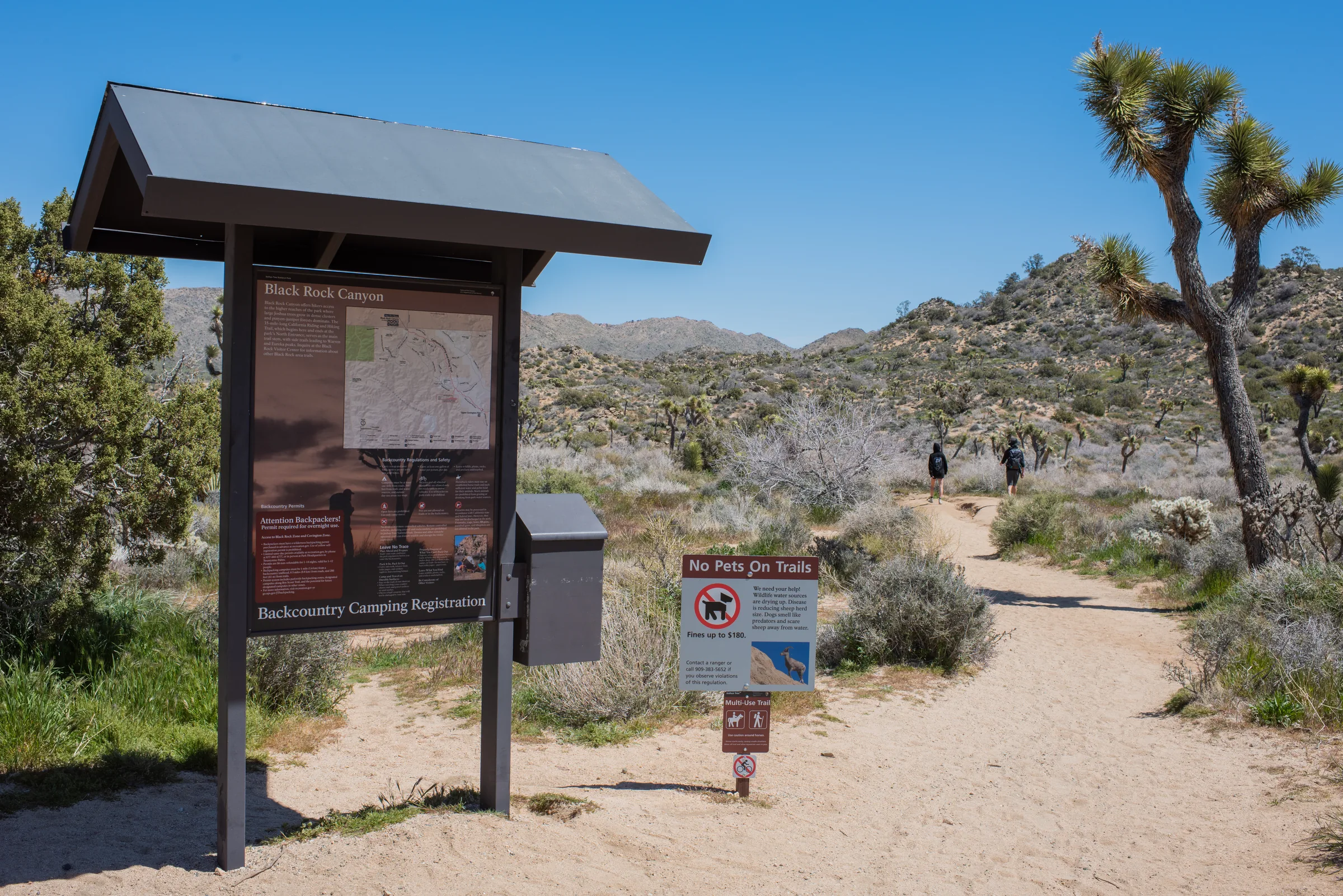
Black Rock Canyon is the northwest corner of Joshua Tree National Park, on the south edge of Yucca Valley and the part of the park nearest the house. It has a campground, a small nature center, drinking water and a cluster of trails, from a short ridge loop to a long climb to Eureka Peak. One thing to know up front: the road dead-ends here, and you can't drive from Black Rock into the rest of the park.
Where it is
From Highway 62 in Yucca Valley, turn south on Joshua Lane and follow the signs. The campground is about five miles from the turn, at 9800 Black Rock Canyon Road, and from the house the whole drive takes roughly 25 minutes. The park service describes the Black Rock area as isolated and not connected by roads to other areas of the park. If you want Hidden Valley or Keys View the same day, you drive back out to Highway 62 and go in through the West Entrance in the town of Joshua Tree. The park's distance table puts Black Rock about 9 miles and 15 minutes from the Joshua Tree Visitor Center, which sits near that entrance.
The campground is at about 4,000 feet, several hundred feet higher than Yucca Valley, and the park says its sites are surrounded by Joshua trees, junipers, cholla and desert shrubs. The campground's reservation listing describes it as one of the park's densest Joshua tree forests.
The nature center
Black Rock Nature Center sits in the middle of the campground. Campers register and pay here, and it also works as a small visitor center: staff can help you plan a hike, and there are maps, books, nature guides and children's activity books for sale, plus the Black Rock Art Gallery, which shows work by featured artists. The park lists water, flush toilets, a bookstore and a picnic area. Black Rock is one of the few places in the park with drinking water, and the park notes water bottle filling stations here, so it's a good place to top up before a hike.
Hours are seasonal. The park's current listing is 8 am to 4 pm with an hour's closure from 11 to noon, and a shorter Thursday-to-Sunday schedule in summer, from roughly June through late August. Check the park's visitor center page before you plan around it.
Hi-View Nature Trail
If you only do one walk here, make it this one. The Hi-View Nature Trail is a loop of about 1.3 to 1.4 miles that climbs a steep ridge on the western side of the park, with around 400 feet of elevation gain. The park rates it moderate and allows 45 minutes to an hour and a half. It starts from its own trailhead northwest of the campground, or you can join it between campsites 20 and 21. Walking from the nature center makes it about 2.1 miles. An interpretive guide, available at the nature center, identifies the plants along the way. Horses aren't allowed on this trail.
Longer hikes from Black Rock
Most of the longer routes leave from the Black Rock Backcountry Trailhead or from near campsite 30. These are the park's figures; trail apps may measure them a little differently.
- Short Loop. About 4 miles with 522 feet of gain, moderate, 2 to 3 hours, through hills, washes, ravines and valleys.
- West Side Loop. About 4.7 miles with 785 feet of gain, moderate, 2.5 to 4 hours, along ridges and washes with views of Joshua trees and mountains.
- Panorama Loop (Morongo View). About 6.6 miles with roughly 1,100 feet of gain, strenuous, 3 to 5 hours. It climbs a sandy wash, then follows the ridgeline of the Little San Bernardino Mountains through dense Joshua tree forest and pinyon-juniper woodland. Walk south, uphill, from the nature center and look for the trail sign at the end of the campground.
- Warren Peak. About 6.3 miles out and back with roughly 1,110 feet of gain, strenuous, 3 to 5 hours. A spur off the Panorama Loop reaches the summit, which the park describes as having panoramic views of the quiet western part of the park.
- Burnt Hill. About 7.3 miles with 910 feet of gain, strenuous, 4 to 5 hours, through low hills, pinyon, Joshua trees, a wash, a narrow canyon and an open valley.
- Eureka Peak. The park lists it at 9.6 miles on one page and 11 miles round trip on another, with about 1,750 feet of gain and 6 to 8 hours of walking, so plan for the longer figure. You start on the California Riding and Hiking Trail, turn south onto the Eureka Peak Trail at a junction about 1.1 miles in, and climb a sandy wash that gets steeper near the summit. The park describes a 360-degree view from the top.
Black Rock is also the western end of the California Riding and Hiking Trail, which runs more than 35 miles across the park to the North Entrance; the park allows two to three days for the whole thing. If Eureka Peak appeals but an 11-mile day doesn't, a dirt road, steep near the end, reaches it from Covington Flats; see our Covington Flats guide.
Wildlife and plants
The park says wildlife sightings are frequent in the campground, with ground squirrels, jackrabbits and cottontails the usual visitors. Its bird list for the area includes cactus wrens, Gambel's quail, great horned owls, scrub-jays and roadrunners. Bobcats and bighorn sheep live here too, though the park calls them elusive. Higher up, the Panorama Loop climbs into pinyon-juniper woodland. Give animals room and never feed them.
Dogs at Black Rock
Dogs are welcome at the house, but not on the trails here. The park states that pets are not permitted on any trails in the Black Rock area, and park-wide they're kept off hiking trails, out of the backcountry and out of buildings. You can walk a leashed dog around the campground, on a leash of 6 feet or less and within 100 feet of roads, parking areas and campgrounds. The park also asks that pets never be left unattended. More on planning around this in visiting Joshua Tree with a dog.
How it fits a day from the house
Because Black Rock doesn't connect to the main park, treat it as its own outing. It works well as a morning hike on the day you arrive or leave, or as an easy half day when you don't want the longer drive across the park. Hi-View in the cool of the morning, then back to the house for the stock-tank pool through the hot hours, is a good shape for a day.
If you want both in one day, do Black Rock first, then drive back to Highway 62 and on to the West Entrance. From there Hidden Valley and Barker Dam are short, easy loops a couple of miles apart, Keys View is a drive-up overlook, and Ryan Mountain is the big climb. Save Ryan for its own cool morning rather than stacking it after a Black Rock hike.
Know before you go
- Passes. Whether a day visit here needs a park pass is worth confirming on the park's fees page or at the nature center. If you're going into the main park that week anyway, a 7-day vehicle pass (around $30 at last check) covers it.
- Heat. The park advises against hiking between 10 am and 5 pm in summer, and lists the Panorama Loop and Warren Peak among trails not to attempt in the heat.
- Water. The park recommends at least a gallon per person per day. You can refill at Black Rock before you set out.
- Parking is limited in the Black Rock area, and the park says its campgrounds are usually full on weekends from September through May.
- Camping. 99 sites, reservations required through Recreation.gov, about $35 a night at last check, with water, flush toilets and a dump station.
- Cell service in the park is limited. Download an offline map and tell someone your route.
- Conditions change. Check the park's alerts and hours before you go.
Black Rock is the easiest piece of the park to fit around a slow day at the house. Check dates and plan a morning on Hi-View.
Keep exploring
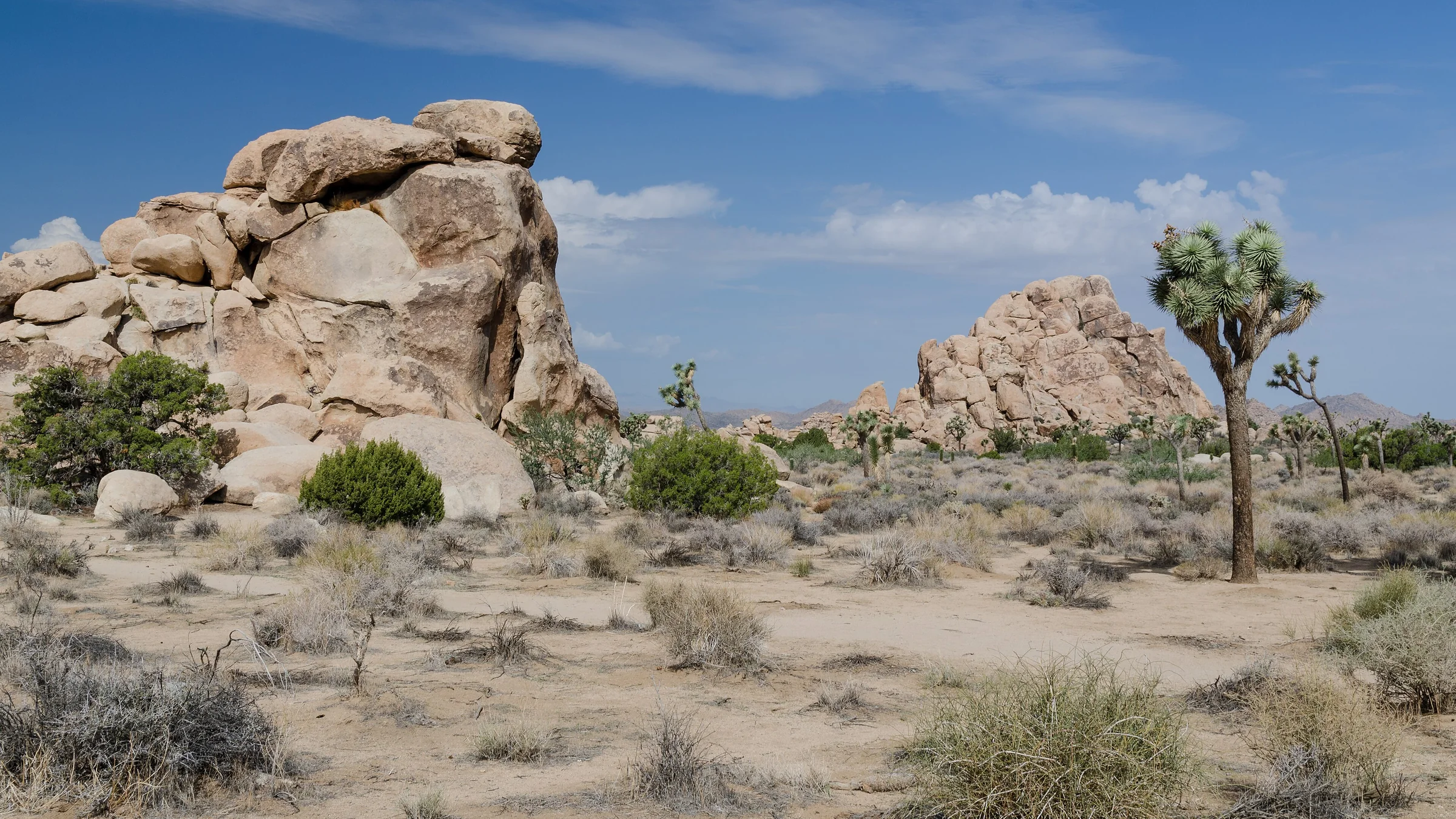
The Best Hikes in Joshua Tree National Park
The best hikes in Joshua Tree, shortest to longest — Hidden Valley, Barker Dam, Ryan Mountain, 49 Palms Oasis and Lost Horse Mine, about 25 minutes from the house.
Read →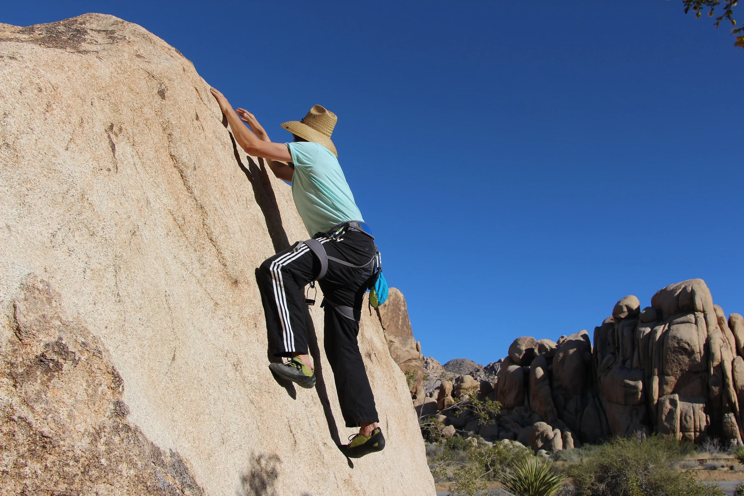
Rock Climbing & Bouldering in Joshua Tree
Joshua Tree is a world-class rock-climbing and bouldering destination. Where to start, when to go, how to climb it responsibly, and how to hire a guide if you're new.
Read →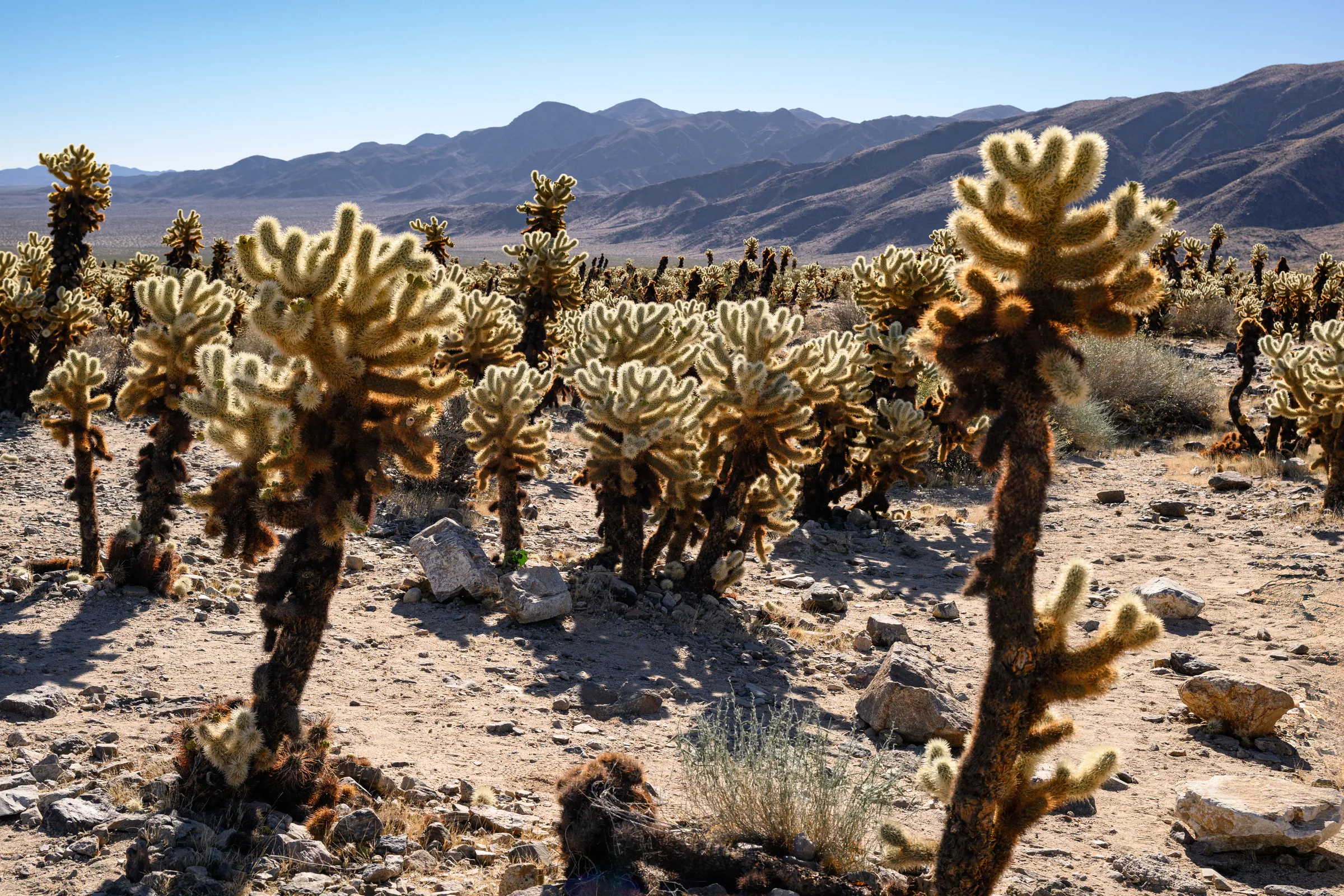
The Cholla Cactus Garden & the Park's Quiet South End
The Cholla Cactus Garden and Joshua Tree's quiet southern end — Cottonwood Spring, Lost Palms Oasis and the ocotillo patch, and how to do the drive from Yucca Valley.
Read →