


































































































Day trips
A Day Trip to Idyllwild
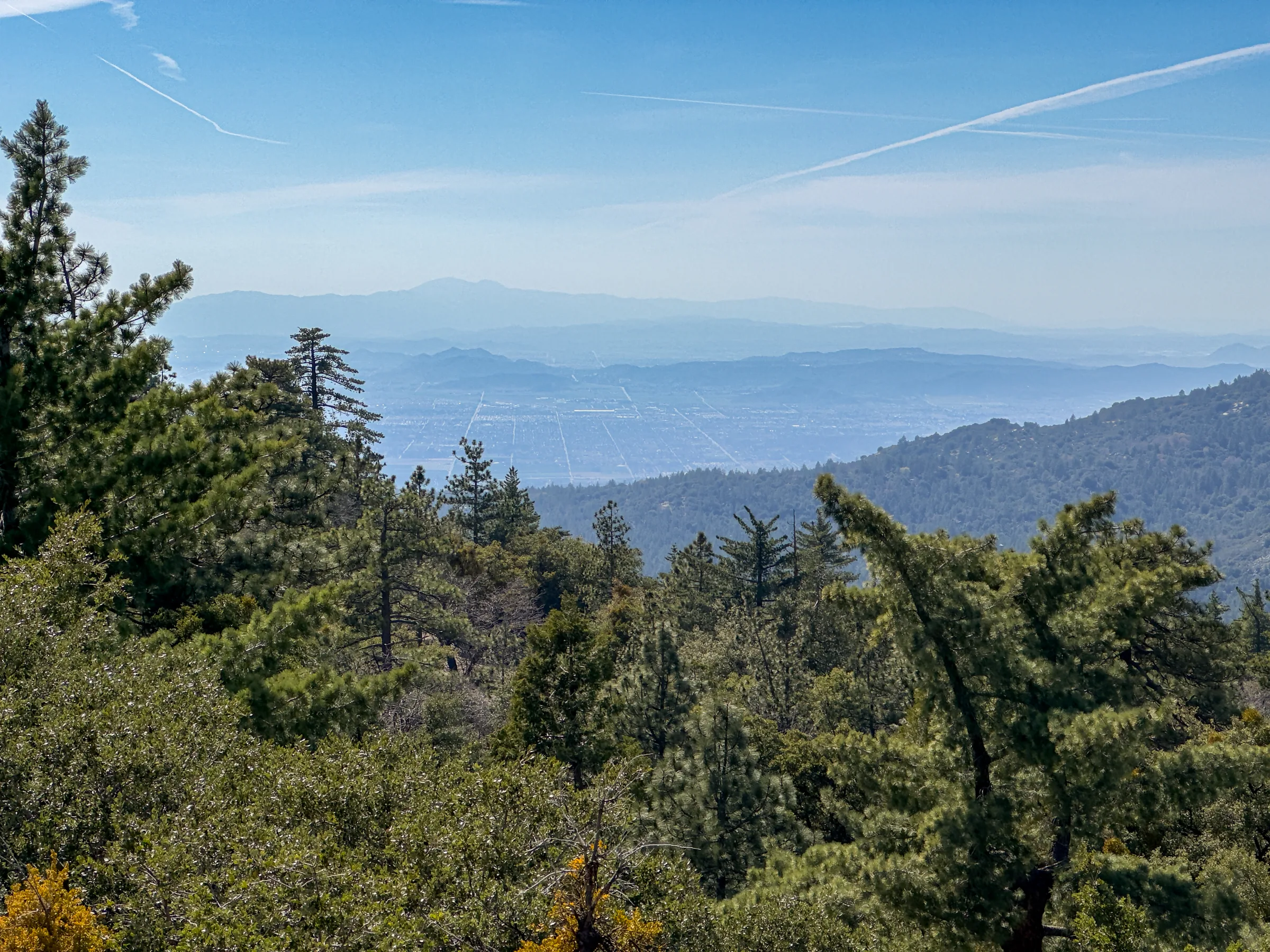
Idyllwild is a small mountain town at about 5,400 feet in the San Jacinto Mountains, set among forested slopes and granite domes. From the house it makes a full day out: roughly an hour and a half each way on mountain highways, with trails, galleries and cafés at the end. At around 2,000 feet higher than Yucca Valley, it's a cooler change of scene from the desert.
Getting there
There are two ways up, and both are winding two-lane mountain roads.
- Highway 243 from Banning. The shorter route. Take Highway 62 down to Interstate 10, head west to Banning, then climb about 25 miles south on Highway 243, the Banning-Idyllwild Panoramic Highway, which the state lists as a scenic highway. Mapping services put Yucca Valley to Idyllwild at about 61 miles this way, and roughly 70 to 75 minutes of non-stop driving. From the house, with the mountain curves, plan on about an hour and a half.
- Highway 74 from Palm Desert. The Pines to Palms Highway, a national forest scenic byway, climbs from Palm Desert to Mountain Center, where Highway 243 turns north for the last few miles into town. From here it's longer: about 42 miles from Yucca Valley to Palm Desert, then about 42 more up the mountain, so allow roughly an hour and a half to two hours each way.
A loop works well: go up one way and come down the other, and expect roughly three hours or a little more of driving before stops. Both highways can close after big storms (Highway 243 was badly damaged by heavy rain in February 2019 and took months to repair), Caltrans runs roadwork on 243 from time to time, and winter snow can bring chain controls. Check road conditions the morning you go.
The town
Idyllwild started as a mountain resort. The area was first known as Strawberry Valley, and Camp Idyllwilde opened here in 1889. Today the village has galleries, gift and outdoor shops, coffee places and restaurants, and it was once named one of America's top art towns. Idyllwild Arts, a private arts high school, is based here. The granite faces above town, Tahquitz Rock (also called Lily Rock) and Suicide Rock, have a long climbing history: the Yosemite Decimal System for grading routes was developed at Tahquitz in the 1950s. If climbing is part of your trip, compare it with climbing in Joshua Tree.
Humber Park and Devil's Slide
Humber Park, above the village and signed from Highway 243, is a main trailhead into the San Jacinto Wilderness from town. The Devil's Slide Trail starts here at about 6,400 feet and climbs 1,700 feet in 2.5 miles of switchbacks to Saddle Junction, where it meets the Pacific Crest Trail. From the junction, longer trails lead on toward the Tahquitz Peak fire lookout (8,846 feet), San Jacinto Peak (10,834 feet) and the tramway's Mountain Station. This trail is regulated, so sort out the paperwork first:
- Wilderness permit. A free day-use permit is required for all wilderness trails here. On Saturdays and Sundays from Memorial Day weekend through Labor Day weekend, Devil's Slide permits are limited, and only a permit stamped for that date by Forest Service staff is valid. The Forest Service suggests requesting one in advance by mail or fax and having a second-choice trail ready.
- Parking pass. Parking at Humber Park needs a Forest Service Adventure Pass (about $5 a day or $30 a year) or an interagency pass. If you already carry an America the Beautiful pass for Joshua Tree, it is accepted here too; the park-only Joshua Tree annual pass is not. Buy an Adventure Pass before you reach the lot; the Forest Service lists Big 5, REI and local stores in Idyllwild.
- Water and dogs. There's no drinking water at the trailhead. Dogs must be on a leash no longer than six feet, and they aren't allowed in the state park wilderness higher up, so check the boundary on a map.
- Groups. Group size is limited to 12.
The San Jacinto Ranger Station in town handles permits. Its posted hours are Thursday through Monday, 8am to 4pm (closed noon to 1pm for lunch), with a self-serve permit kiosk, and the staff can tell you current trail conditions.
Easier walks
The Ernie Maxwell Scenic Trail also leaves from Humber Park. The Forest Service describes it as an easy 2.6-mile trail that starts at 6,400 feet and descends about 700 feet, crossing seasonal streams and passing many different tree species, with views of Suicide and Lily Rocks. Walk it out and back, and remember the climb comes on the return. Forest Service pages disagree on whether it needs a wilderness permit, so fill out the free self-serve permit at the ranger station either way.
The Idyllwild Nature Center, a Riverside County park about a mile northwest of the village on Highway 243, has more than five miles of trails and a small museum with displays on local wildlife and Cahuilla culture. It charges a few dollars to enter, and leashed dogs are welcome on its trails for a small extra fee, which makes it the easy pick if your dog came along. The museum has been open Wednesday through Sunday and the trails daily from sunrise to sunset; check current hours.
When to go
California's tourism board describes Idyllwild as snowy in winter, mild in spring and fall and sunny in summer. The Devil's Slide quota only applies on summer weekends, so if that hike is the goal, a summer weekday or the shoulder seasons are easier. In winter, check for snow and chain controls before setting out.
Pairing it with the tramway
The trails above Idyllwild connect to Mount San Jacinto State Park and the Palm Springs Aerial Tramway, but by road the two sit on opposite sides of the mountain, so doing both in one day means a lot of driving. We'd give each its own day. The tram suits a shorter visit with easy trails and a restaurant at the top. Idyllwild suits a slower day of town, forest and longer walks. For another mountain escape, see our Big Bear day trip.
Know before you go
- Drive times are estimates. Mountain curves, weekend traffic and roadwork all add time.
- Free day-use wilderness permit for Devil's Slide, limited on summer weekends; Adventure Pass or interagency pass for parking at Humber Park.
- No drinking water at Humber Park, so carry what you need.
- Dogs: on a six-foot leash at Humber Park, banned in the state park wilderness, welcome on a leash at the Nature Center.
- The Forest Service bans campfires in the wilderness, and fire restrictions change with the season. Check current restrictions and alerts.
Come back down to the desert for the evening and end the day stargazing at the house. Check dates and plan your mountain day.
Keep exploring
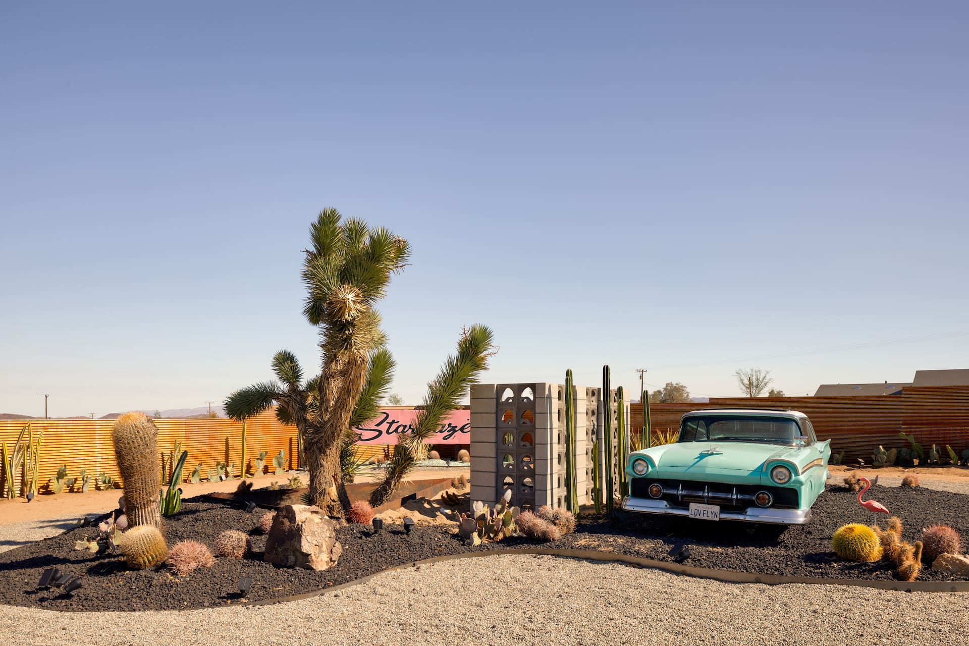
Coachella & Stagecoach: Basing Yourself in the High Desert
Staying up in the high desert for Coachella or Stagecoach — a calmer, often cheaper base about an hour from the Indio polo fields. The trade-offs, the traffic and how to plan.
Read →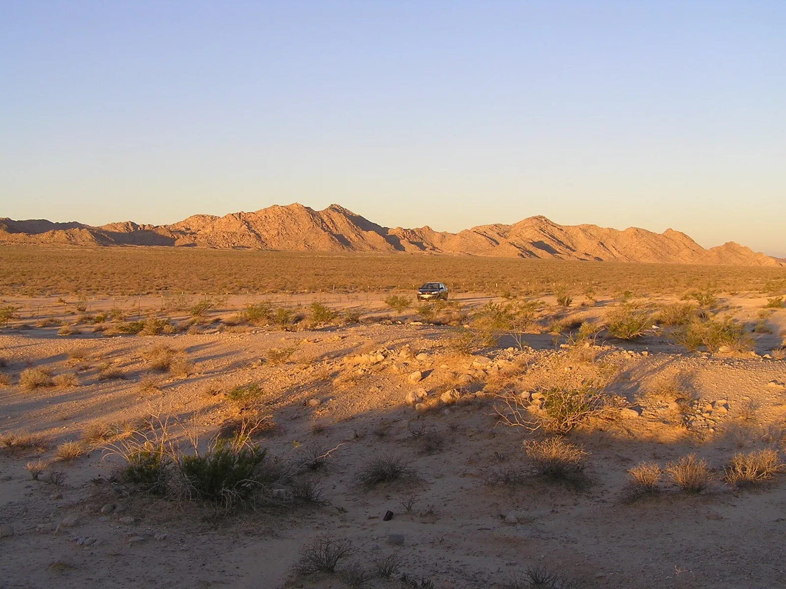
Three Classic Desert Road Trips
Three classic road trips from the high desert — Route 66 and Roy's Café at Amboy, the surreal Salton Sea and Salvation Mountain, and an easy Pioneertown loop. Distances and desert-driving tips.
Read →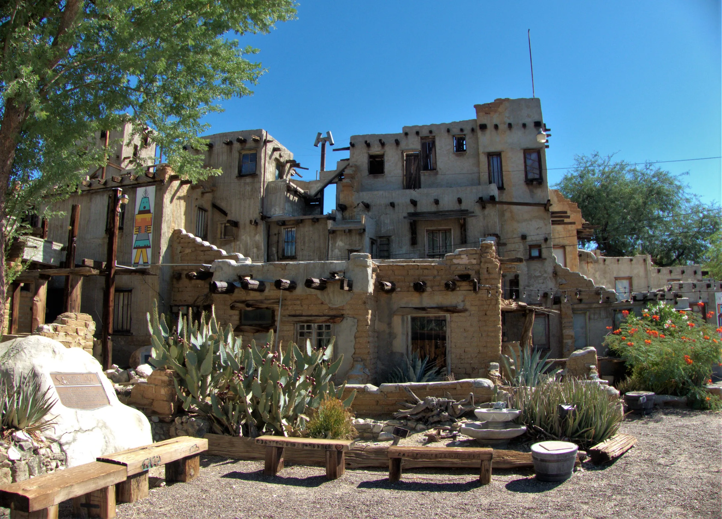
Cabot's Pueblo Museum, Desert Hot Springs
Cabot Yerxa's hand-built, Hopi-inspired pueblo in Desert Hot Springs: 35 rooms of reclaimed materials, guided tours, 2026 hours and prices, and nearby stops.
Read →