


































































































Joshua Tree & nature
Barker Dam
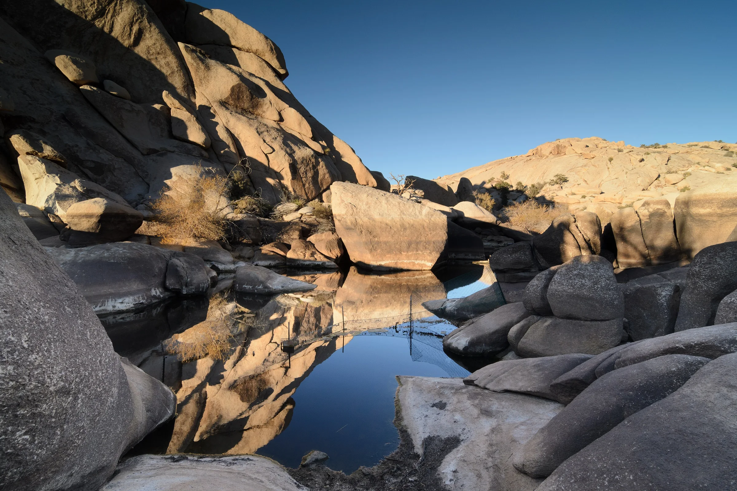
Barker Dam is a short, mostly flat loop in the middle of Joshua Tree National Park that passes a small historic dam built by cattle ranchers, then a rock art site. It's one of the easiest walks in the park and one of the most popular, so the main trick is getting there early.
The trail
The park lists the Barker Dam Trail as a 1.1-mile loop with about 50 feet of elevation gain, and allows 30 to 60 minutes. Some trail apps measure it a little longer. The path is compact dirt, granite boulders and sandy washes, from about a foot and a half to five feet wide. It's easy, but not smooth everywhere: there are boulders to step on or over and a tight squeeze between rocks, so the park says it isn't accessible for wheelchairs, and strollers aren't allowed.
Along the way you walk among the park's monzogranite boulders and Joshua trees, with creosote, Mojave yucca and pinyon pines, and the park points out a distant view of San Gorgonio Mountain. You may also pass rock climbers on the formations.
The dam and its history
Ranchers in this part of the desert caught rainwater in catchments they called tanks. The park says this dam was originally built by the Barker and Shay cattle company in 1902 and was added to several times by William "Bill" Keys, the homesteader whose Desert Queen Ranch is nearby. Other published accounts date the first dam to 1900 and describe a concrete addition from around 1949 to 1950, with an inscription naming it Big Horn Dam, a name you'll still see used. The dam is listed on the National Register of Historic Places.
The park says cattle grazed throughout what is now the park from the 1870s until 1945, and that ranchers' tanks can still be seen at places like White Tank and Barker Dam. The dam has been vandalized before: in 2015, after graffiti was scratched into its surface, architectural conservators from the University of New Mexico volunteered a week to reduce the visible damage. Look, take pictures, and leave it as you found it.
Water in the reservoir
Often there isn't any. The park says the reservoir is typically dry most of the year and will occasionally fill after periods of heavy rainfall. After a wet season there's a chance of standing water. The park notes that standing water brings a set of freshwater indicator species to this trail, seen in and around the dam, and its plant list includes Goodding's willow, mule-fat and broadleaf cattail. The park also flags the area as a place to watch for desert bighorn sheep. Neither water nor wildlife is a sure thing, so if the water is the reason you're going, ask at a visitor center about recent rain first.
The rock art
Past the dam, the loop passes a rock art site. In the Barker Dam area, the U.S. Geological Survey describes a small cave with a natural arch that holds both petroglyphs, which are carved into rock, and pictographs, which are painted with mineral paints. Some of the designs here look unusually bright. Sources outside the park report that a film crew painted over the originals around 1960 so they would show up on camera, a claim the park's trail pages don't address.
The park's own note on the site is about care. View the rock art from a respectable distance, and don't step on, climb on or touch the rock art or the boulder it sits on. Along the Echo T approach, the park makes the same request: respect the art by not touching or climbing on it.
Parking and the Echo T option
The park says parking at Barker Dam can be scarce in peak season, September through May, and lists the lot among those that may temporarily close once full. It recommends visiting popular sites like Barker Dam before 9 am. The trailhead has vault toilets and parking for cars, buses and RVs.
If the lot is full, the park points to the Echo T parking lot. The Echo T Trail follows a wash past rock formations, includes a minor rock scramble, and connects to the Barker Dam loop. On its own it's about 1.4 miles round trip; with the Barker Dam loop added, the park's pages give totals from about 1.7 to 2.5 miles. The park says this stretch has a good spring wildflower display after abundant winter rain.
Dogs
Pets are not allowed on the Barker Dam Trail; service animals are welcome on a leash of 6 feet or less. The park keeps pets off all hiking trails, so if the dog is along for the day, someone stays with it near the car and road (within 100 feet, on a short leash), or you build the day around stops where dogs are allowed, like the paved path at Keys View. The house itself is dog-friendly.
Pairing it with the day
Barker Dam is on a short side road off Park Boulevard near Hidden Valley, on the way to the Keys Ranch gate. The park's distance table puts that gate about 16 miles and 31 minutes from the Joshua Tree Visitor Center in town, so allow roughly 50 minutes from the house, including the 25 to the West Entrance.
A good morning: Hidden Valley and Barker Dam back to back before the lots fill, then on to Keys View for the long look over the Coachella Valley. If you have more energy, Ryan Mountain is a few miles on along Park Boulevard. Bill Keys's Desert Queen Ranch is just up the same road; our Keys Ranch guide covers visiting it. Black Rock Canyon is best saved for another day, since it doesn't connect by road.
Know before you go
- Distance. About 1.1 miles by the park's measure, 30 to 60 minutes.
- Water. The park recommends at least a liter per person for this hike in summer, and at least a gallon per person per day in the park. There's no water at the trailhead.
- Heat. Summer temperatures can pass 100°F. In hot months, walk before 9 am or after 5 pm.
- Restrooms. Vault toilets at the trailhead.
- Respect. Stay off the rock art and leave the dam as you found it.
- Fees. The park's entrance fee applies, around $30 for a 7-day vehicle pass at last check.
- Check first. Lot closures and alerts are posted on the park's website.
Barker Dam is an easy hour that pairs well with a slow afternoon back at the house. Check dates and aim for an early start.
Keep exploring
The Best Hikes in Joshua Tree National Park
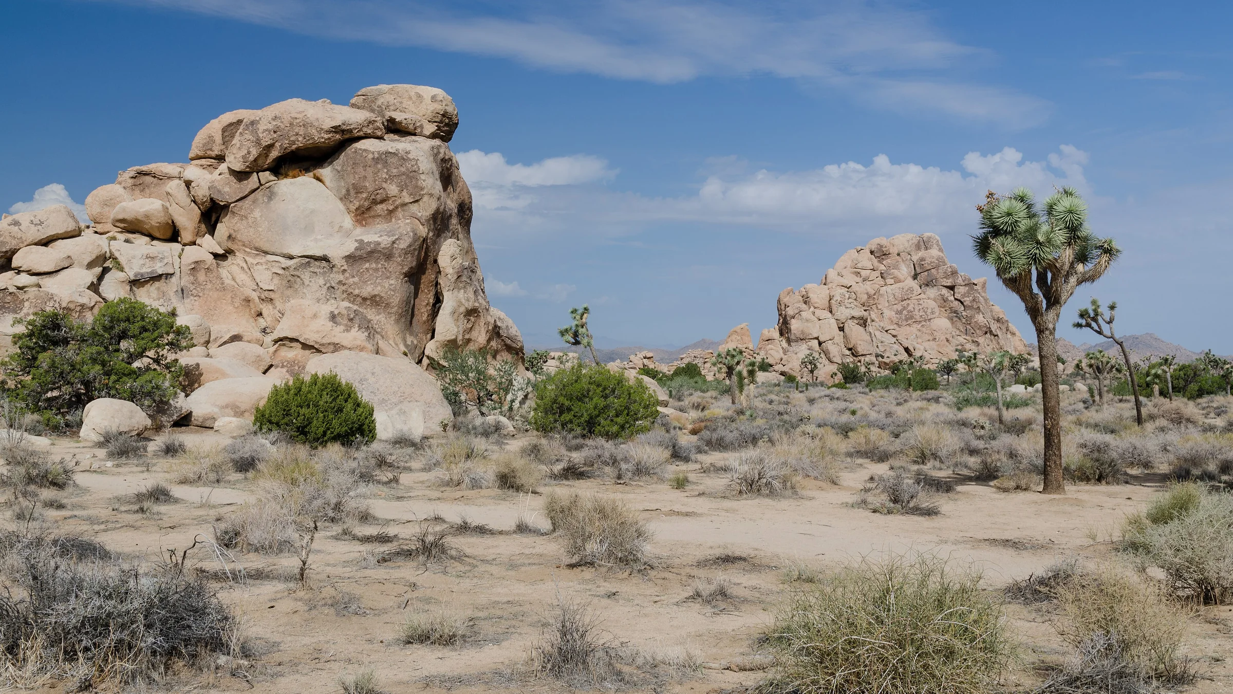
The best hikes in Joshua Tree, shortest to longest — Hidden Valley, Barker Dam, Ryan Mountain, 49 Palms Oasis and Lost Horse Mine, about 25 minutes from the house.
Read →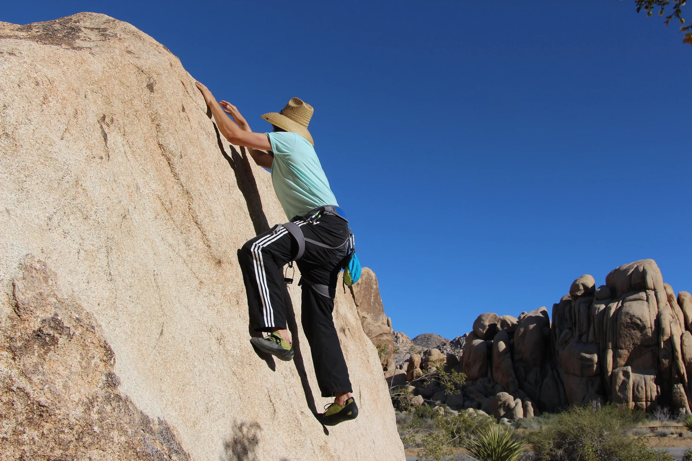
Rock Climbing & Bouldering in Joshua Tree
Joshua Tree is a world-class rock-climbing and bouldering destination. Where to start, when to go, how to climb it responsibly, and how to hire a guide if you're new.
Read →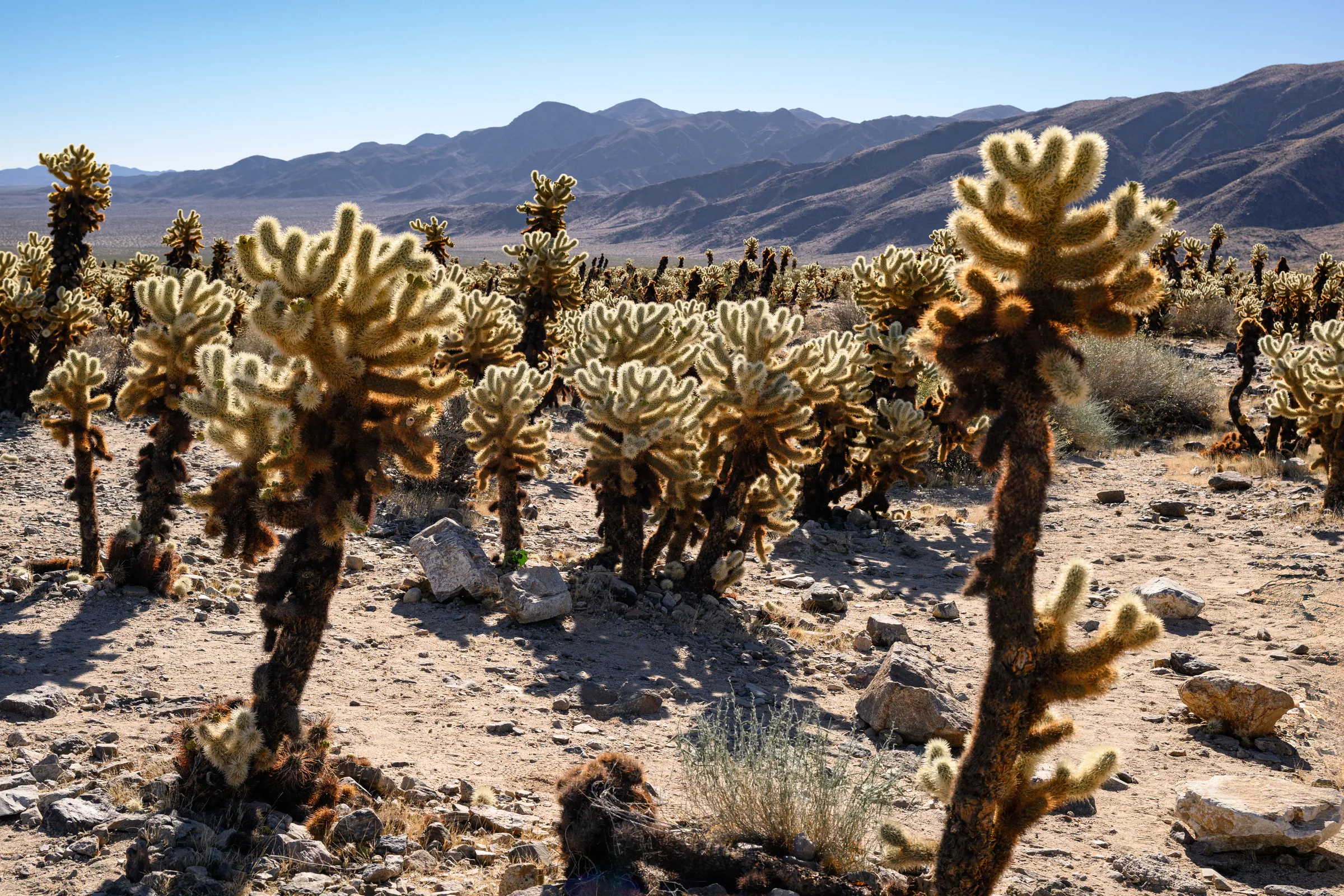
The Cholla Cactus Garden & the Park's Quiet South End
The Cholla Cactus Garden and Joshua Tree's quiet southern end — Cottonwood Spring, Lost Palms Oasis and the ocotillo patch, and how to do the drive from Yucca Valley.
Read →