


































































































Getting here
Getting to Joshua Tree.
9 guides
Every route to the house.
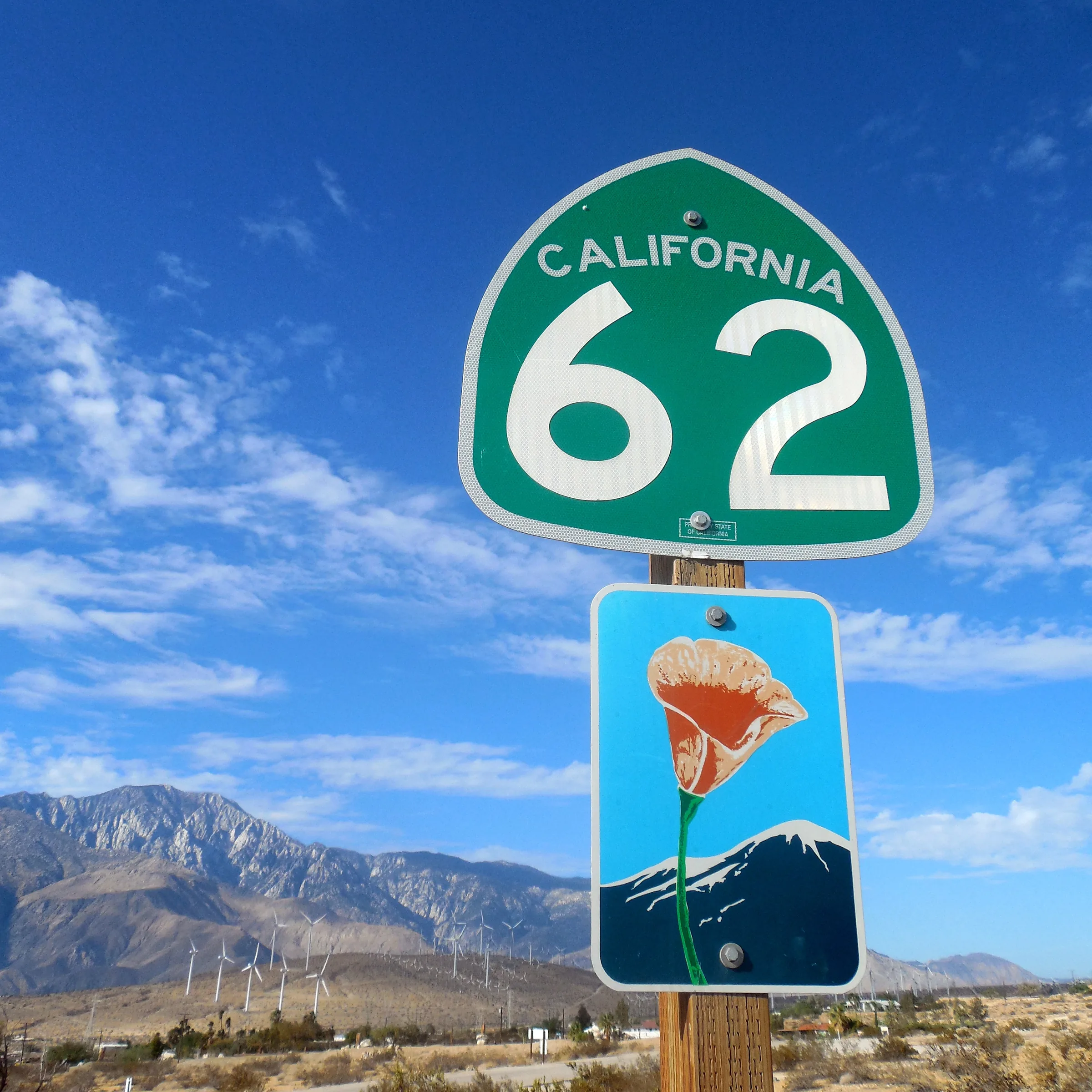
Stargaze Escape is in Yucca Valley, a couple of minutes from La Copine on Highway 247 and about 25 minutes from the west entrance of Joshua Tree National Park and about 50 minutes from Palm Springs. Most guests drive in from Southern California, and most routes end the same way: Interstate 10 to Highway 62, up through Morongo Valley into Yucca Valley, then north on Highway 247.
The pages below cover each route on its own: the highways, how long it usually takes, when to leave to miss traffic, where to stop for fuel and food, and the sights worth a stop on the way. If you are flying, there are pages on the airports guests use most.
All local guides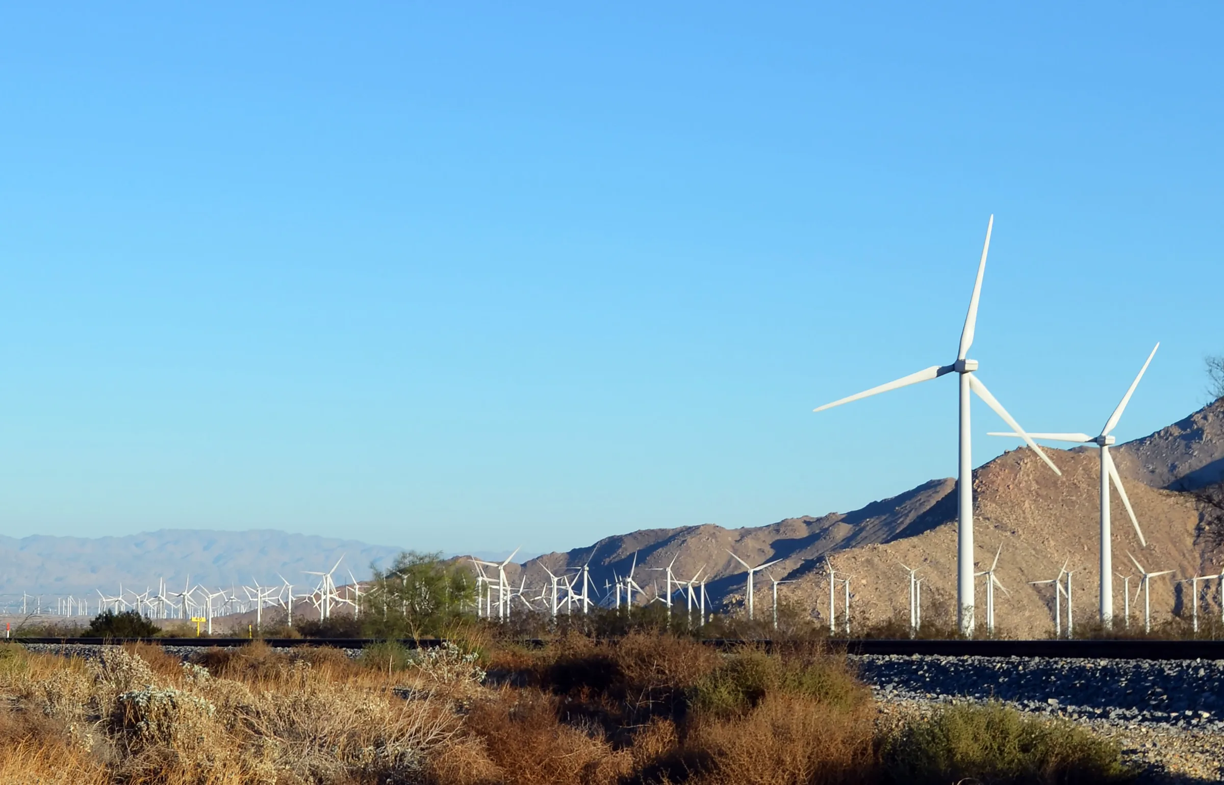
Los Angeles to Joshua Tree
Driving from Los Angeles to Joshua Tree: the I-10 and Highway 62 route, miles and drive time, when to leave, toll lanes, EV charging and stops in Cabazon.
Read →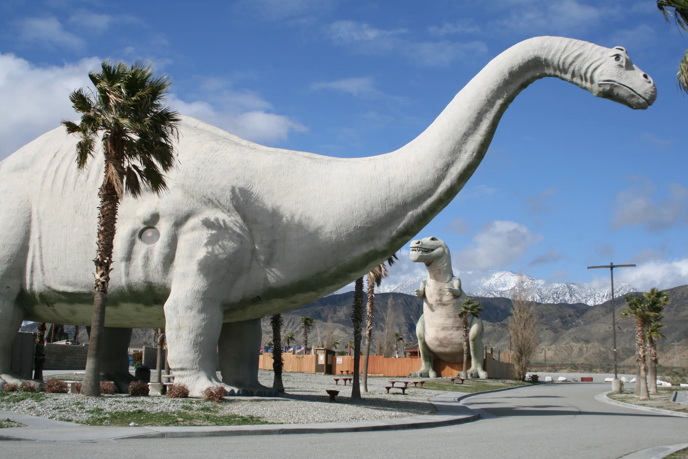
Orange County to Joshua Tree
Driving from Orange County to Joshua Tree: the 91, the 60 and I-10 to Highway 62, miles and drive time, the 91 Express Lanes, charging in Beaumont and stops.
Read →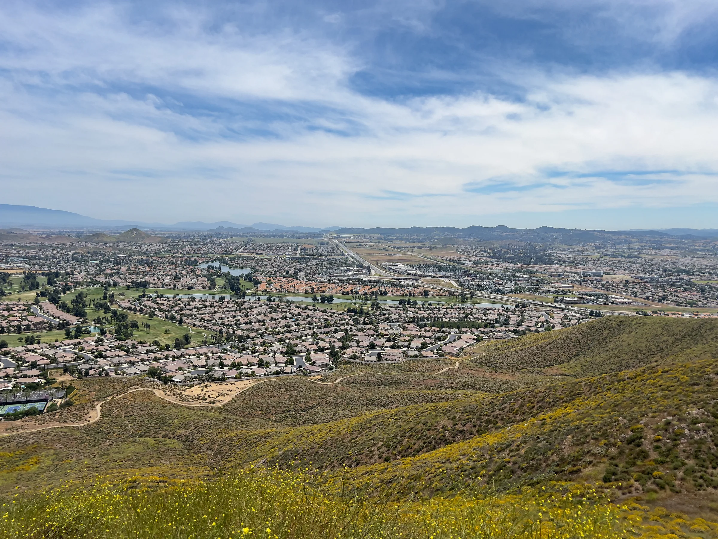
San Diego to Joshua Tree
Driving from San Diego to Joshua Tree: I-15 and Highway 79, or the desert way through Julian, Anza-Borrego and the Salton Sea. Miles, times, charging and stops.
Read →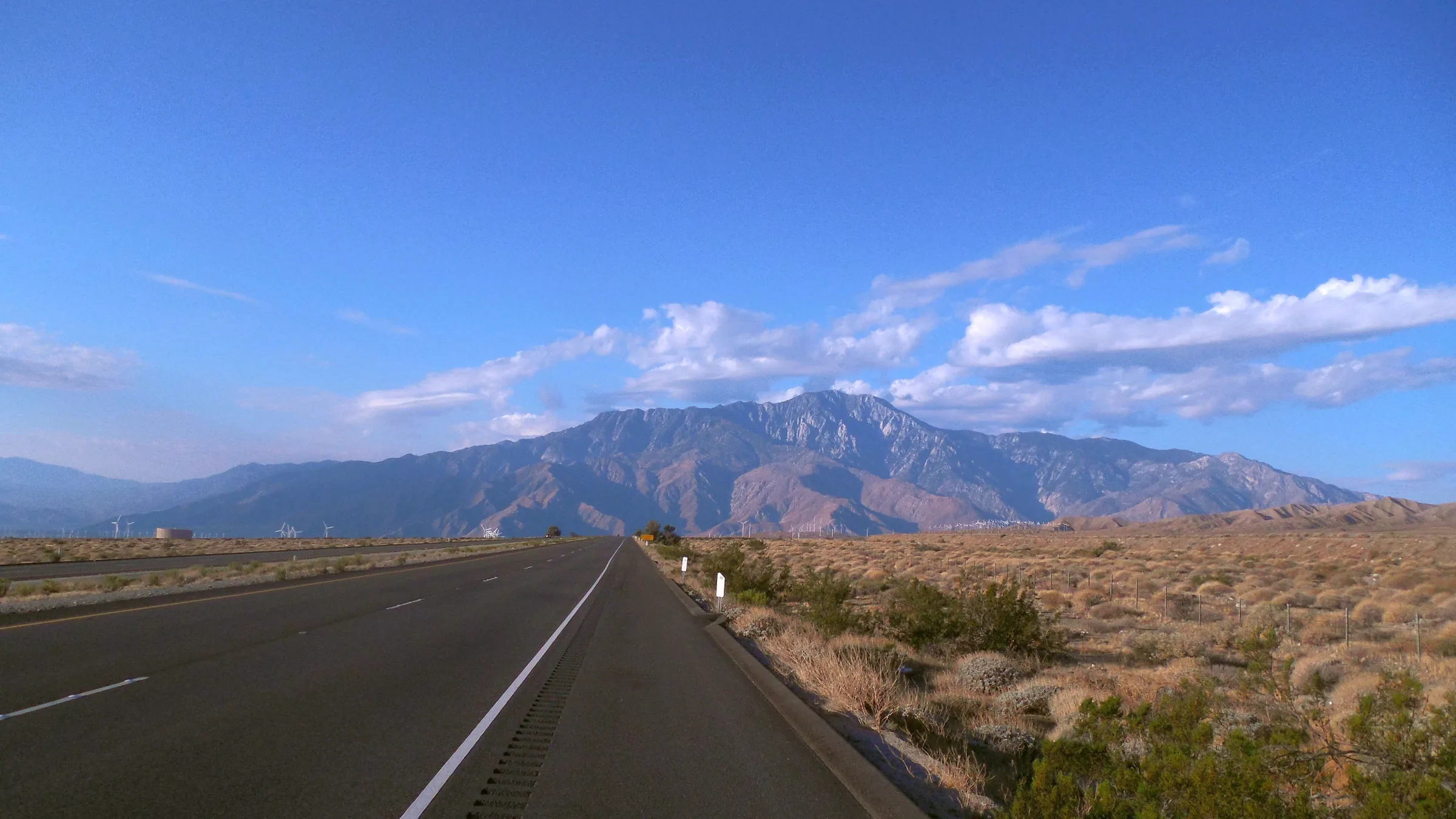
San Francisco to Joshua Tree
Driving from San Francisco to Joshua Tree: I-5, Route 58 over Tehachapi Pass, Barstow and Route 247 to Yucca Valley, with miles, drive time, charging and stops.
Read →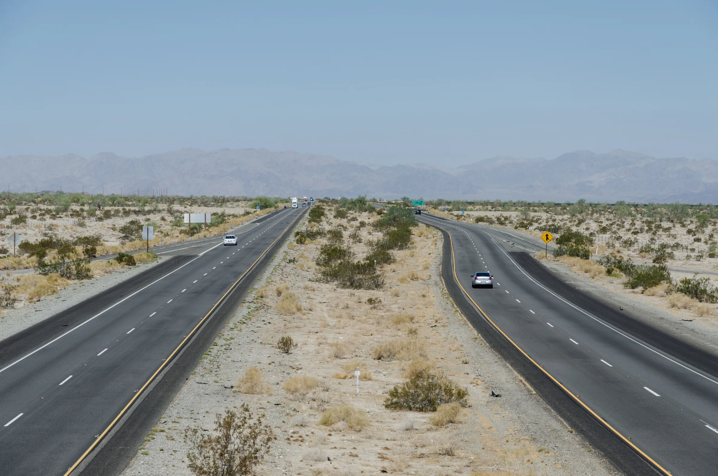
Phoenix to Joshua Tree
Driving from Phoenix to Joshua Tree: I-10 to Highway 62, the Cottonwood entrance through the park, or Parker and Route 62, with miles, time zones and stops.
Read →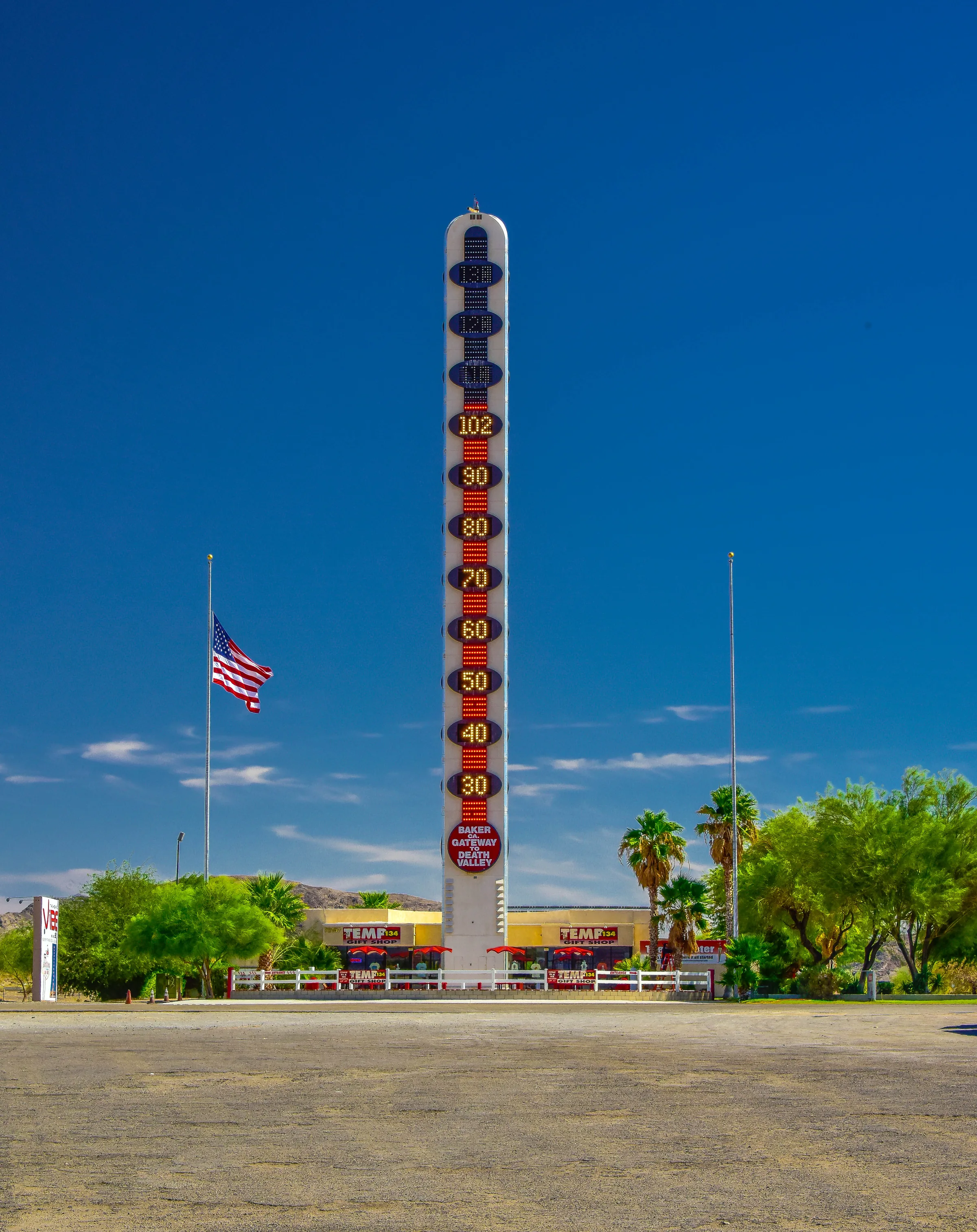
Las Vegas to Joshua Tree
Three ways to drive from Las Vegas to Joshua Tree and Yucca Valley: I-15 and Highway 247, Kelbaker Road through the Mojave Preserve, or US-95 and Amboy.
Read →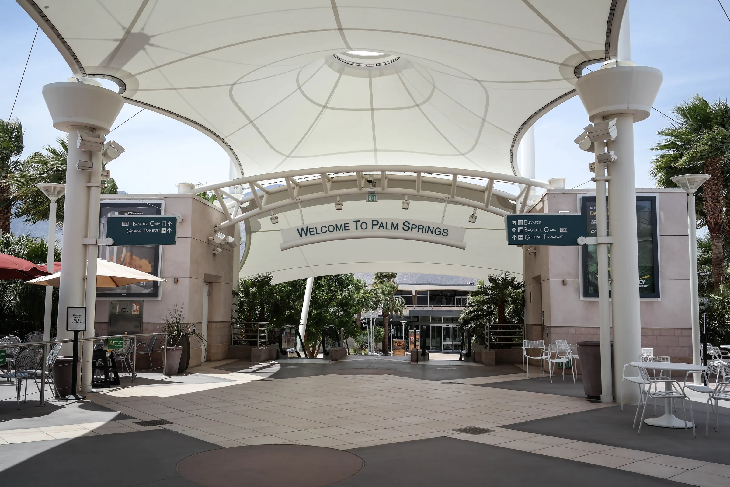
Flying into Palm Springs
Palm Springs International is the closest airport to Stargaze Escape. Airlines and seasonal flights, rental cars, and the drive up Highway 62 to Yucca Valley.
Read →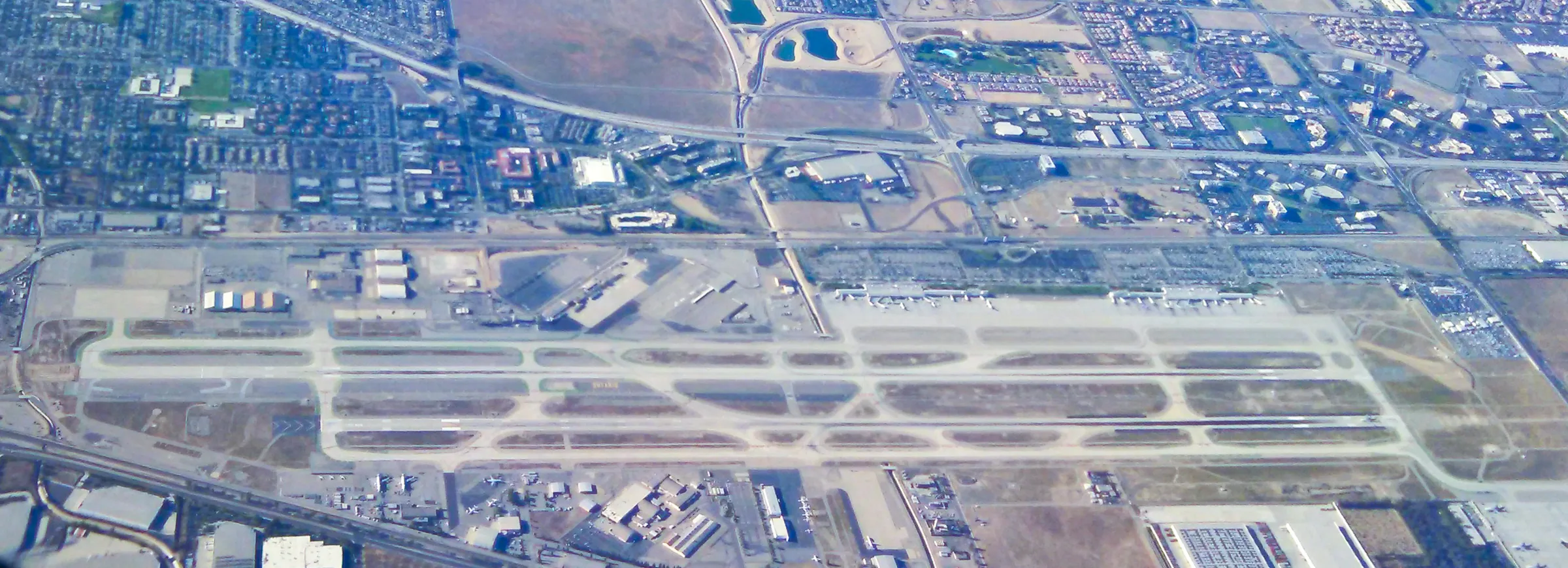
Flying into Ontario
Ontario International is about 95 miles from Stargaze Escape. Its terminals and airlines, the rental car shuttle, and the drive east on I-10 and up Highway 62.
Read →
Flying into Los Angeles
LAX, Burbank or Long Beach for a Joshua Tree trip: how the three compare, where to pick up the rental car, and the 135 to 150 mile drive east to Yucca Valley.
Read →Base yourself here
Stargaze Escape, Yucca Valley.
Two king bedrooms, a stock-tank pool, a hot tub, a gas fire pit and a 1950s car bed with a custom stargazing roof, about 25 minutes from the park's west entrance.
Photo credits on this page: Wind energy near Palm Springs (30873356400).jpg by Pacific Southwest Region USFWS from Sacramento, US, Public domain · Cabazon-Dinosaurs-2.jpg by Jllm06, CC0 · Menifee viewed from Menifee Hills.jpg by Z3lvs, CC0 · CA62sb TwentyninePalmsHwy 1 20170910.jpg by Niranjan Arminius, CC BY-SA 4.0 · View of I-10 near Desert Center, CA 20110809 1.jpg by DXR, CC BY-SA 4.0 · Thermometer Baker California, 2019.jpg by Gayinspandex1, CC BY-SA 4.0 · Palm Springs International Airport-1.jpg by Visitor7, CC BY-SA 3.0 · LA Ontario Airport from the Air (ONT) San Bernadino, Cty, California.jpg by Northwalker, CC0 · LAX Cell Phone Parking Lot.jpg by Northwalker, CC0 · CA62s 20150913.jpg by Niranjan Arminius, CC BY-SA 4.0. More on our photo credits page.