


































































































Joshua Tree & nature
Cottonwood Spring and Mastodon Peak
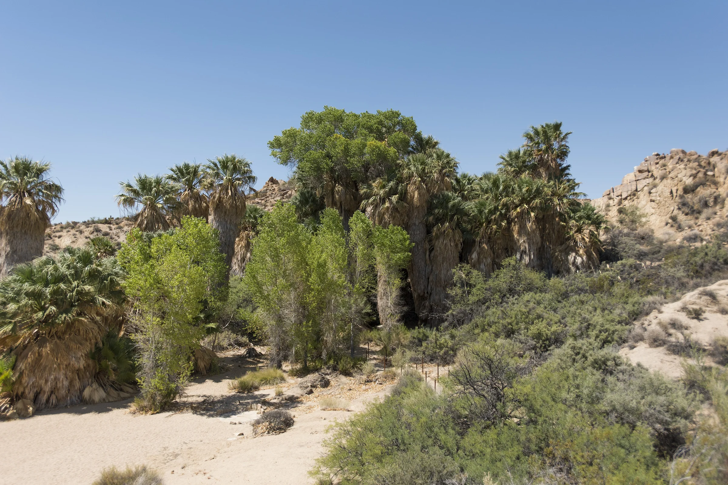
Cottonwood Spring is a small oasis of fan palms and cottonwoods near Joshua Tree's south entrance, and it's the starting point for the Mastodon Peak loop, a hike of about 3 miles with an optional scramble to a granite summit. It sits at the far end of the park from Yucca Valley, roughly an hour and 45 minutes to two hours each way, so treat it as a full day out.
Cottonwood Spring
The park describes the spring as the result of earthquake activity, about seven miles in from the southern entrance at roughly 3,000 feet. The Cahuilla used it for centuries and left bedrock mortars and clay pots, called ollas, in the area. Later it was a water stop for prospectors, miners and teamsters traveling between Mecca and the mines to the north, and because gold processing needed water, several mills worked here. You can still see the remains of an arrastra, a simple type of gold mill, and concrete ruins mark two later mill sites. The spring first appears in the record in a gold mine claim filed in 1875.
The cottonwoods are native. The palms are newer arrivals: the park says fan palms first appear here around 1920, perhaps from seeds left by a bird or a coyote. These are California fan palms, the only palm native to the western United States. The park calls the oasis one of the best birding spots in the park.
The walk down from the parking lot is about 0.1 miles with about 25 feet of elevation change, on hard-packed dirt and sand, and takes around ten minutes. If walking isn't an option, the spring can be seen from the paved parking lot above. Much of the oasis is closed off to protect it, so stay within the marked boundaries.
The Mastodon Peak loop
The park's hiking table lists Mastodon Peak as a moderate 3-mile loop with about 375 feet of elevation gain, taking one and a half to two and a half hours. Another park page measures the loop section alone at 2.4 miles, and a ranger-led version was listed at 2.5 miles, so expect something between two and a half and three miles. The trail sits in the Colorado Desert part of the park, in the Eagle Mountains.
You start on the Lost Palms Oasis Trail, walking downhill past Cottonwood Spring. Nearly half a mile on, the Mastodon Peak loop splits off to the left. The park's plant notes for this stretch include graythorn and Bigelow nolina, and along the loop, brittlebush, cholla, sandpaper plant, white ratany, rabbitbrush and prince's plume. The trail then climbs through bouldery canyons and outcrops and passes an old gold mine, which local histories tie to the Hulsey family of Indio. As with every mine in the park, look from a distance and stay out.
A side path leads to the top of Mastodon Peak. The park describes it as unmaintained, with a rock scramble to the craggy granite summit, so skip it if you're not comfortable using your hands on rock. The park says the hike gives views over the southern part of the park, and hiking guides say the Salton Sea can be seen from the summit on a clear day. The ground is dirt, sand and rock with some steep sections, and there is no shade and no cell service.
Lost Palms Oasis and shorter walks
If you have more time and the weather is cool, the Lost Palms Oasis Trail continues from the same trailhead to the park's largest stand of fan palms. It's a strenuous out-and-back of about 7.5 miles with roughly 500 feet of gain, five to six hours by the park's estimate. You can add the Mastodon loop to it for a longer day. For something short, the Bajada Nature Trail near the south entrance is a quarter-mile loop on hard-packed sand with boardwalk sections, with signs about Colorado Desert plants.
Cottonwood Visitor Center and campground
The Cottonwood Visitor Center is on Pinto Basin Road about 7 miles north of Interstate 10, exit 168. The park lists exhibits, water, flush toilets, a bookstore and picnic tables, with hours of 8:30 am to 4 pm when we checked; confirm before you rely on them. It's one of the few places in the park with drinking water, so top off your bottles here.
Cottonwood Campground nearby has 62 reservable sites at about 3,000 feet, with water, flush toilets, tables and a dump station, at about $35 a night when we checked. The park notes ranger-led programs here on most weekends; check the current schedule.
The drive from the house
This is the longest drive in this set of guides. There are two ways to go, and both take roughly an hour and 45 minutes to two hours each way from the house. One runs through the park: in at the West or North Entrance, then south on Pinto Basin Road, which runs about 36 miles from Park Boulevard to the south entrance. The other goes around the outside: Highway 62 down to Interstate 10, east past Indio to exit 168, then north into the park, roughly 85 to 90 miles in all. That's three and a half to four hours of driving for the round trip, so start early.
A good plan is to drive down through the park in the morning, stopping at Arch Rock and the Cholla Cactus Garden, hike at Cottonwood around midday in the cool months, and come home on the freeway. There's no gas or food for sale in the park, so fill the tank before you leave Yucca Valley. Our guide to Joshua Tree's entrances and fees compares the three entrances.
When to go and weather
The park recommends Mastodon Peak in winter, spring and fall. In summer it advises starting before 9 am with plenty of water. The southern part of the park sits in the lower, hotter Colorado Desert, where ocotillo is most common; ocotillo and cholla usually bloom from about March to May, depending on rain.
Summer storms can be serious here. On August 25, 2013, a storm left debris across Pinto Basin Road around Cottonwood Canyon and closed the road, the visitor center and the campground while crews cleared it. The park's advice: flash floods often catch people unaware, so do not enter washes when water is running, and watch National Weather Service alerts.
Know before you go
- Dogs. Dogs are not allowed on park trails, including the short walk to the spring and the Mastodon loop. Leashed dogs can be within 100 feet of roads, parking areas, picnic areas and campgrounds, on a leash six feet or shorter.
- Water. Fill up at the visitor center or campground, and still carry plenty on the trail.
- Shade and signal. No shade and no cell service on the Mastodon loop. Download an offline map.
- Drive time. Plan on roughly two hours each way from the house, more with stops.
- Entrance fee. A private vehicle pass was $30 for seven days when we checked. Confirm with the park.
- Artifacts. Mortars, mill ruins and anything else you find stay where they are; taking cultural artifacts is illegal.
It's a long day, and the stock-tank pool and hot tub are waiting at the end of it. Check dates for the house.
Keep exploring
The Best Hikes in Joshua Tree National Park
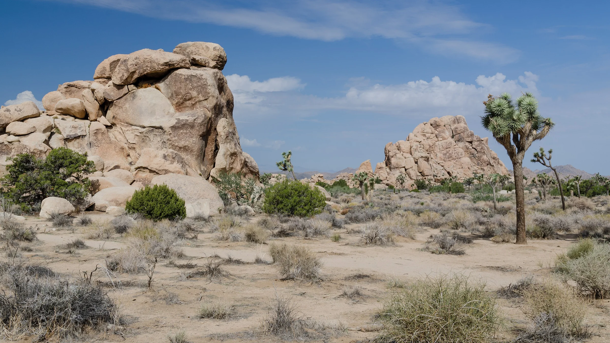
The best hikes in Joshua Tree, shortest to longest — Hidden Valley, Barker Dam, Ryan Mountain, 49 Palms Oasis and Lost Horse Mine, about 25 minutes from the house.
Read →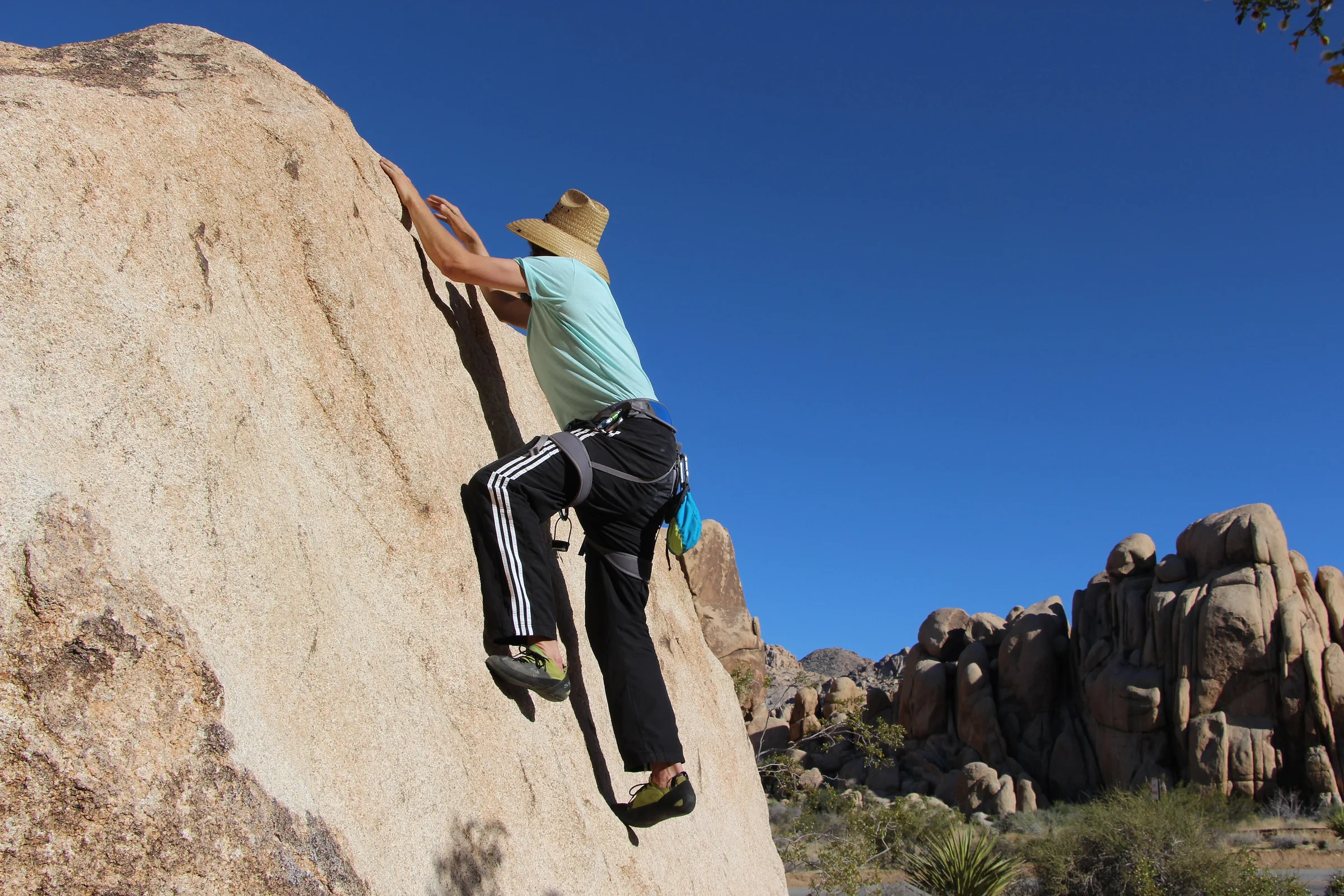
Rock Climbing & Bouldering in Joshua Tree
Joshua Tree is a world-class rock-climbing and bouldering destination. Where to start, when to go, how to climb it responsibly, and how to hire a guide if you're new.
Read →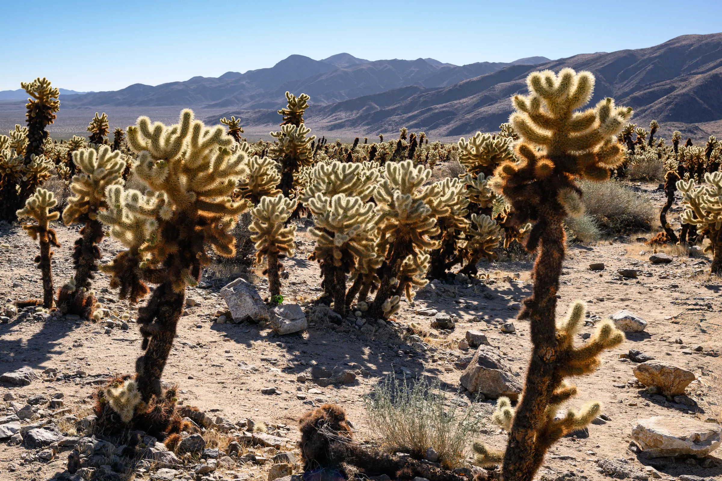
The Cholla Cactus Garden & the Park's Quiet South End
The Cholla Cactus Garden and Joshua Tree's quiet southern end — Cottonwood Spring, Lost Palms Oasis and the ocotillo patch, and how to do the drive from Yucca Valley.
Read →