


































































































Getting here
Flying into Palm Springs
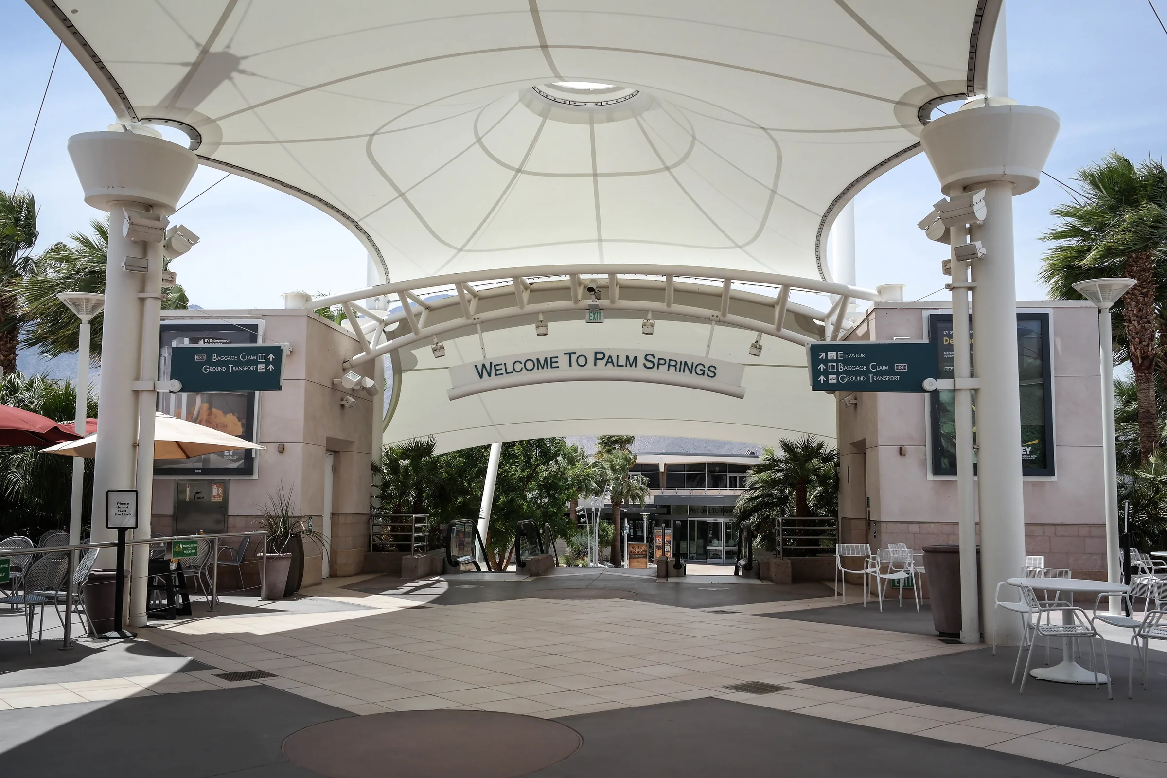
Palm Springs International Airport is the closest commercial airport to Stargaze Escape. It is about 40 miles by road, and the drive from the rental car lot to the house takes about an hour in light traffic. It is a small, easy airport with walkways open to the sky, and many of its flights run only in the cooler months. Here is who flies there, how the rental cars work, and what to expect on the climb from the valley floor to the high desert.
The closest airport
PSP sits about two miles east of downtown Palm Springs at an elevation of about 476 feet. By California standards it is compact: 19 gates in two concourses, joined to the main building by walkways that have no roof. The main building, designed by the architect Donald Wexler, opened in 1966 and holds ticketing on one side and baggage claim and the rental car counters on the other. The Sonny Bono Concourse, opened in 1999, handles the larger jets at eight gates with jet bridges. The ground-level Agua Caliente Concourse, with 11 gates, handles mostly regional jets, and after security there is an open-air courtyard.
The airport has grown quickly. It handled about 1.25 million passengers in 2020 and about 3.31 million in 2025, and March 2024 was the busiest single month in its history up to then. Even so, the walk from the gate to the curb is short, and the drive to the desert is shorter still. That is the whole case for PSP: if a flight works for your dates, nothing else in the region gets you to the house as fast.
Airlines and seasons
At the time of writing, the airport lists nonstop service to 31 airports on eight airlines: Air Canada, Alaska, American, Delta, Southwest, Sun Country, United and WestJet. A large share of those routes are seasonal, so a flight you took in March may not be running in August. The airport's own airline list, checked in early October 2026, shows these as year-round:
- Alaska. Portland, San Francisco and Seattle.
- American. Dallas and Phoenix.
- Delta. Salt Lake City.
- Southwest. Denver, Las Vegas, Oakland and Sacramento.
- United. Denver, Los Angeles and San Francisco.
- WestJet. Calgary and Vancouver.
Seasonal flights fill in the rest, with return dates on that list running from September into February. They include Atlanta, Austin, Boise, Charlotte, Chicago (O'Hare and Midway), Everett, Houston, Minneapolis, New York's JFK on both Alaska and Delta, Newark, San Jose, Santa Rosa, Seattle on Delta, and Washington Dulles, plus Toronto, Edmonton, Winnipeg and extra Vancouver service on the Canadian airlines. A few run only on Saturdays. Schedules change every season, so confirm with the airport's airline page or the airline itself before you build a trip around one.
The cool months are the busy months, and April usually brings two large festivals to the Coachella Valley. Coachella runs over two consecutive three-day weekends at the Empire Polo Club in Indio, with room for about 125,000 people each weekend, and the Stagecoach country festival follows the weekend after at the same grounds. If your dates overlap, book the rental car early, and read our notes on basing yourself in the high desert for Coachella and Stagecoach.
Rental cars at PSP
The rental counters are in the baggage claim wing of the main building, and the cars are parked just outside. The airport lists nine companies on site: Alamo, Avis, Budget, Dollar, Enterprise, Hertz, National, Sixt and Thrifty. Two more, ACE Rent A Car and Go Rentals, operate off the airport, so check your confirmation for a shuttle or pickup.
That setup may change in the coming years. The Palm Springs City Council approved an airport master plan in January 2025 that includes a new rental car center, terminal expansions and a federal inspection station that would let the airport take more international flights. If you are reading this a year or two from now, check the airport's parking and transportation page for where to collect the car. The route up Highway 62 and the main roads through the national park are paved, so an ordinary car is all you need.
Without a rental car
Rideshare drivers pick up at the south end of the terminal in the commercial lane, following the airport's signs, and taxis from three companies wait in the ground transportation area outside baggage claim. A ride up to Yucca Valley is a long fare, though, and you will want a way to reach the park and get back down for your flight, so check your options before you count on one. SunLine's SunBus, the Coachella Valley's local bus, has two stops a short walk from the terminal, which helps for a day in Palm Springs but not for the trip up the hill.
There is also a public bus. At the time of writing, Morongo Basin Transit's Route 12 runs on weekdays between Yucca Valley and Palm Springs, four trips in each direction, with a stop at the airport and stops in Morongo Valley on the way. It ends at the Yucca Valley Transit Center, which is still about 15 minutes' drive from the house, and the agency lists one-way fares of roughly $5 to $10 depending on where you board. It does not run on weekends, and the park is out of reach without a car, so for most guests a rental is still the practical choice.
The drive to the house
From the airport, head north on Gene Autry Trail for about 3 miles to Interstate 10, then west on I-10 for about 6 miles to the Highway 62 exit. Highway 62 takes you north and up into the high desert, about 20 miles to Yucca Valley. A routing engine puts the airport to central Yucca Valley at about 30 miles and a little over 40 minutes. In Yucca Valley, turn north on Highway 247 (Old Woman Springs Road) and drive about 9 miles, roughly 15 minutes, to Flamingo Heights, where the house is. With that last leg and a stop or two, plan on about an hour, which fits the roughly 50 minutes we quote for Palm Springs itself.
The road climbs almost the whole way. The airport is at about 476 feet and Yucca Valley at roughly 3,300 feet, so you gain close to 2,800 feet in half an hour, most of it on Highway 62. Our Highway 62 guide covers what you pass on the way up through Morongo Valley.
Wind and the wash crossings
The one thing that can scramble this short drive happens just north of the airport. Gene Autry Trail, North Indian Canyon Drive and Vista Chino all cross the wide Whitewater wash on the north side of Palm Springs, and those crossings close when wind drives sand across the road or when floods run through. On May 26, 2026, for example, Gene Autry Trail and North Indian Canyon Drive were closed at the wash during a windblown dust advisory, and floods have closed the crossings in the past. Officials have been planning new bridges over the wash on Indian Canyon Drive and Vista Chino, but local reporting in early 2026 said construction had slipped, with the Vista Chino bridge not expected to start before late 2028.
If the crossings are closed when you land, you will need another way onto I-10, and a map app will find one at the cost of some extra minutes. On a windy day, check local traffic before you leave the airport. The same wind explains the view on the next stretch.
Turbines in the pass
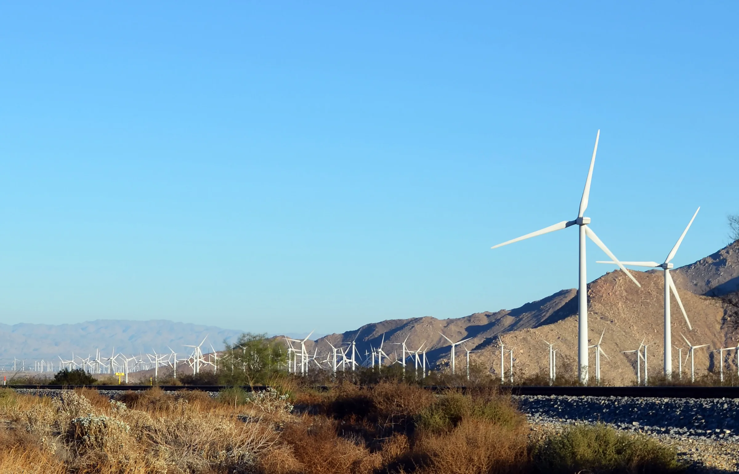
The few miles of I-10 between Gene Autry Trail and Highway 62 run through the San Gorgonio Pass wind farm, which stretches from Cabazon to North Palm Springs. The pass is a natural wind corridor between the San Bernardino Mountains to the north and the San Jacinto Mountains to the south, and wind moves through it between two very different climates. In 1987 the wind farm had more than 4,200 turbines. Many small, older machines have since been replaced with fewer and much larger ones, and as of May 2025 it counted 667 turbines with a rated capacity of 656 megawatts.
Desert Hot Springs lies just east of Highway 62, a short detour if you want to see Cabot's Pueblo Museum before you head up the hill.
Valley heat and high desert cool
The change in elevation shows most in summer. Under NOAA's 1991 to 2020 normals, Palm Springs averages a July high of about 108.6°F and a low near 79°F, with about 4.6 inches of rain a year. Up in the high desert, July highs average closer to 96°F. In January the valley floor averages about 70°F by day, while winter days up at Yucca Valley are noticeably cooler and nights can drop to freezing.
Two practical things follow. In summer, a rental car that has sat in the sun at PSP will be very hot inside, so let the air conditioning run for a minute before you set off, and never leave a child or a dog in a parked car. In winter, keep a warm layer in your carry-on, because a mild afternoon on the valley floor becomes a cold evening at 3,300 feet. Our month pages, such as Joshua Tree in July, go into the weather in more detail.
Time before check-in
Self check-in at the house opens at 4pm, and check-out is at 11am. A morning landing leaves a few hours in the valley, and Palm Springs is right there; our Palm Springs day trip notes cover the town, and on a clear day the tram up Mount San Jacinto is a short drive from the airport. On the way up, Highway 62 passes Big Morongo Canyon Preserve in Morongo Valley, about 11 miles before Yucca Valley, if you want a streamside walk before you arrive.
For groceries, Yucca Valley's two Stater Bros. supermarkets are on Highway 62 on the way in. If you want a particular specialty grocer, shop in the Coachella Valley before you get back on I-10.
For the flight home, check-out at 11am lines up well with an afternoon departure. Allow the hour's drive down, the rental car return and the security line, and look at the airport's website before you leave the house, since it posts current TSA wait times. In the busy months, and above all on Coachella and Stagecoach weekends, give yourself more slack than you think you need.
Know before you go
- Distance. About 40 miles from PSP to the house, a little over 30 of them to central Yucca Valley. Plan about an hour.
- Route. Gene Autry Trail north, I-10 west, Highway 62 north, then Highway 247 north in Yucca Valley.
- Seasonal flights. Many routes run only from fall into spring. Check the airport's airline list for your dates.
- Rental cars. Counters in baggage claim, cars a short walk outside. Two off-airport companies use their own lots.
- Wind and floods. The wash crossings north of the airport can close at short notice; check before you drive.
- Heat. July in Palm Springs averages about 108°F by day. It is noticeably cooler at the house.
- Bus. Morongo Basin Transit Route 12 links the airport and Yucca Valley on weekdays only.
PSP puts you closest to the house, and a short drive leaves more of the evening for the fire pit and the car bed. Check dates for your trip.
Keep exploring
Los Angeles to Joshua Tree
Driving from Los Angeles to Joshua Tree: the I-10 and Highway 62 route, miles and drive time, when to leave, toll lanes, EV charging and stops in Cabazon.
Read →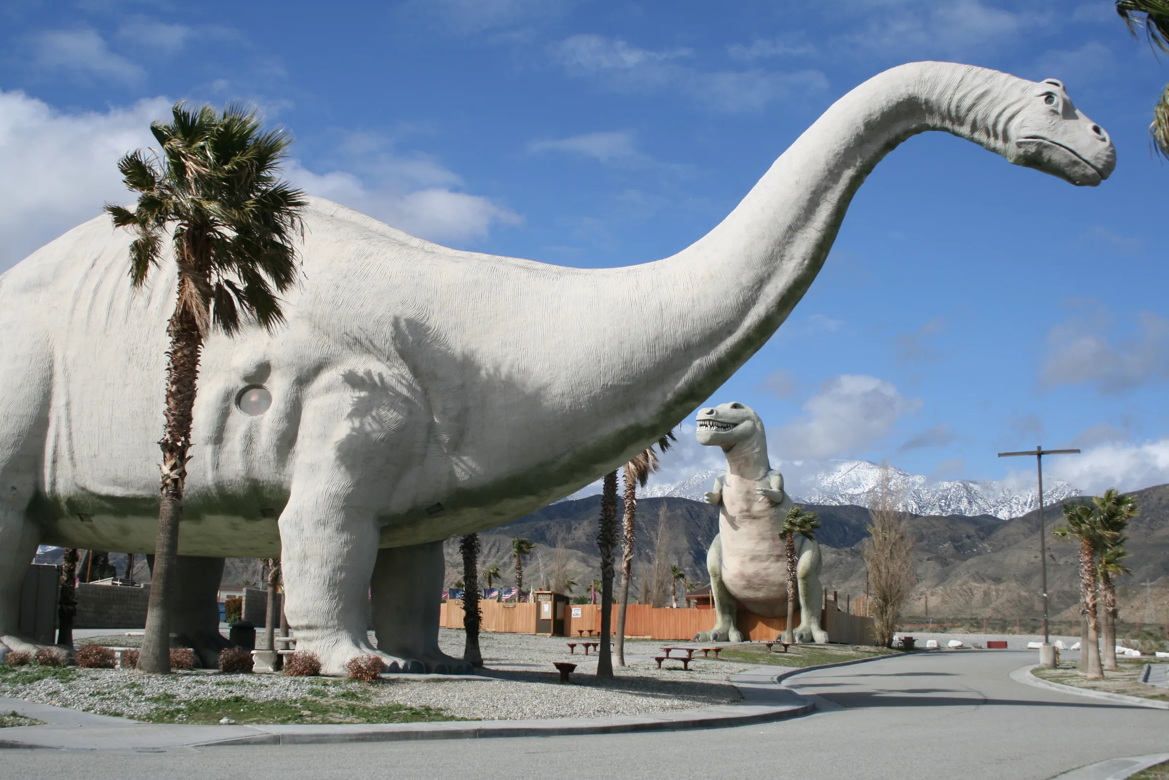
Orange County to Joshua Tree
Driving from Orange County to Joshua Tree: the 91, the 60 and I-10 to Highway 62, miles and drive time, the 91 Express Lanes, charging in Beaumont and stops.
Read →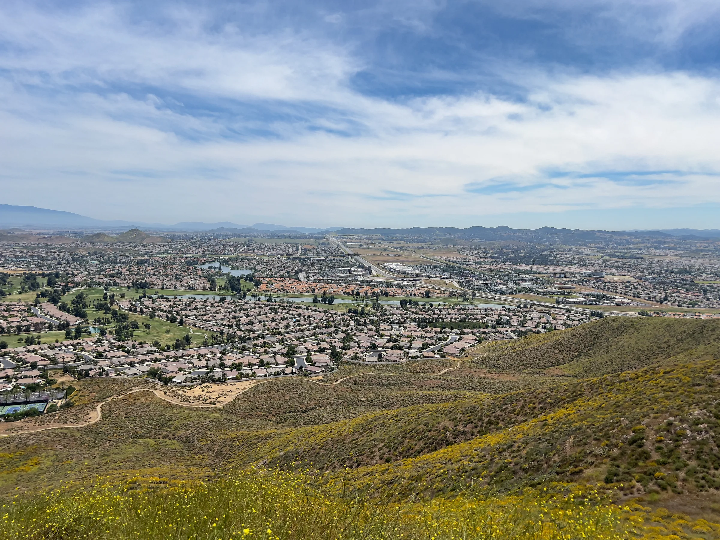
San Diego to Joshua Tree
Driving from San Diego to Joshua Tree: I-15 and Highway 79, or the desert way through Julian, Anza-Borrego and the Salton Sea. Miles, times, charging and stops.
Read →