


































































































Towns & neighbours
Pioneertown Mountains Preserve
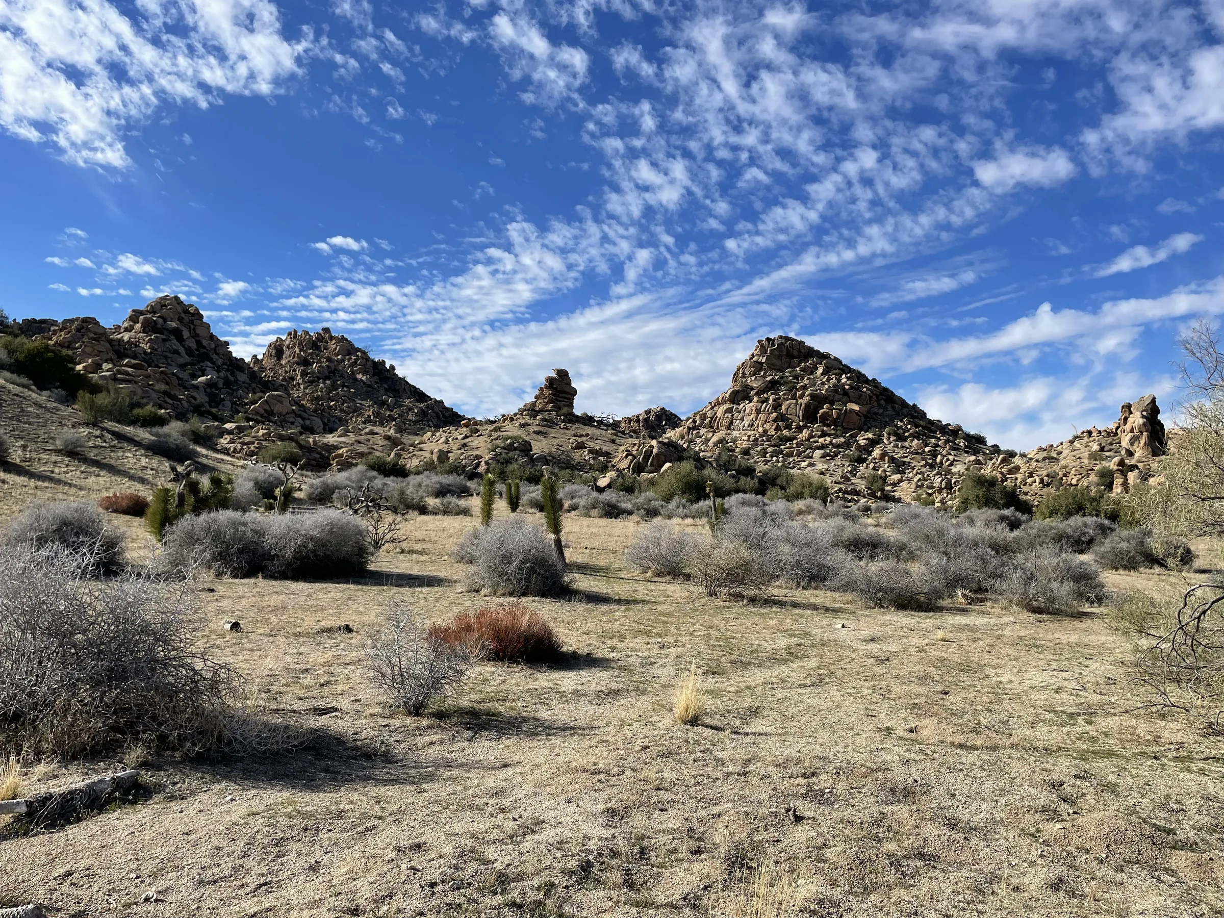
A few miles past Pioneertown, the Pioneertown Mountains Preserve covers 25,500 acres of canyons, mountains and volcanic mesas in the Little San Bernardino Mountains. The Wildlands Conservancy owns and runs it, entry is free, and it's open every day from sunrise to sunset. Unlike Joshua Tree National Park, it allows leashed dogs on its trails. It's roughly 25 minutes from the house.
About the preserve
The Wildlands Conservancy is a nonprofit founded in 1995, and it keeps its preserves free to visit. This one runs from ridges near 7,800 feet down to the Pioneertown valley floor and takes in the Sawtooth Mountains, Pipes Canyon and Chaparrosa Peak. The conservancy describes year-round streamside corridors in Pipes Canyon and Little Morongo Canyon, and calls the preserve an important landscape link between Joshua Tree National Park, the San Bernardino National Forest and the Big Horn BLM Wilderness. It describes the Pipes Canyon area as the largest nonprofit wilderness in California, at more than 20,000 acres. The conservancy also runs Whitewater Preserve, another free preserve in the area.
The 2006 fire
In July 2006 a lightning-caused fire, the Sawtooth Complex, burned across the country around Pioneertown. Estimates of its size run from about 62,000 to 70,000 acres. The conservancy says it killed the vast majority of the preserve's Joshua trees, pinyon pines and junipers. The land is now in what the conservancy calls natural vegetation succession, and scientists expect scrub oak and Joshua tree communities may eventually replace the pinyon forest. You're walking through a landscape that is still recovering, so stay on the trails.
Pipes Canyon to the Olson Ruins
The best first hike starts at the visitor center on Pipes Canyon Road. The trail follows Pipes Canyon to the Olson Ruins, the remains of an early homestead. The preserve's map spells it Olson, while many trail sites use Olsen. Sources put the walk at about 3.5 miles out and back (some list 3.3) and rate it easy to moderate. Hiking sites put the climb at roughly 300 feet, and a 2025 account describes a sandy wash with creek crossings along the way.
It's the gentlest of the main trails, and the preserve has used it for ranger-led family hikes. In the warm months, start early and turn around at the ruins.
Chaparrosa Peak and the Indian Loop
For a bigger climb, the Chaparrosa Peak Trail leaves from near the upper parking area, drops into a wash, then climbs to the summit at 5,541 feet, a climb of roughly 1,000 feet. Sources put it at about 6 miles out and back and rate it difficult. Sign the trail register before you start.
The Indian Loop is roughly 6 to 6.5 miles and is rated moderate. In one 2025 trail report, adding the side trip to the peak makes it a day of about 8 miles with more than 1,400 feet of climbing, which the same report puts at up to four hours. The loop has been closed after storms washed out sections, and the conservancy now lists it as open.
The Sawtooth trails
The Sawtooth Mountains Trailhead is separate, off Kees Road. The conservancy says to continue about a mile past Chaparrosa Wash to the trailhead sign, and not to park at the old Chaparrosa Wash access, which is now for horses and for people walking in from Pioneertown. From here the Sawtooth Loop runs roughly 8 to 9.5 miles depending on the source and is rated difficult, with frequent steep changes in elevation. The shorter Chaparrosa Spring Loop is about 3.8 miles. The trailhead has parking but no restrooms.
Getting there
Take Pioneertown Road up to Pioneertown, about 18 minutes from the house, and keep going past Pappy & Harriet's to the visitor center at 51010 Pipes Canyon Road. Mapping puts it about 4 miles and under 10 minutes past Mane Street. The visitor center has free parking, restrooms, drinking water, covered and shaded picnic areas, information kiosks and paper trail maps. A morning here and dinner at Pappy & Harriet's on the way home makes an easy day.
Dogs, rules and safety
Leashed dogs are allowed on the trails, which makes this a good hike for the dog you brought to the dog-friendly house. The national park keeps dogs off its trails, as our guide to visiting Joshua Tree with a dog explains. The preserve prohibits fires, hunting and shooting, alcohol, smoking, collecting, drones and off-highway vehicles.
The conservancy posts alerts for mountain lions, black bears and rattlesnakes, and asks visitors to watch wildlife from a distance. Don't count on cell service out on the trails, so download a map before you leave. Carry more water than you think you need, fill up at the visitor center, and plan warm-weather hikes for early morning. Storms have washed out trail here before, so check conditions after heavy rain. Our desert safety notes cover the basics.
Know before you go
- Hours and cost. Sunrise to sunset, every day. Free.
- Two trailheads. Pipes Canyon (visitor center, restrooms, water) for the Olson Ruins, the Indian Loop and Chaparrosa Peak. Sawtooth Mountains, off Kees Road, for the Sawtooth trails, with no restrooms.
- Distances. Roughly: Olson Ruins 3.5 miles out and back, Chaparrosa Spring Loop 3.8 miles, Chaparrosa Peak 6 miles out and back, Indian Loop 6 to 6.5 miles, Sawtooth Loop 8 to 9.5 miles. Maps and trail apps measure some of these differently, so check the posted map at the visitor center.
- Dogs. Allowed on leash.
- Season. Hiking sites suggest roughly November through May as the comfortable season. In summer, start at first light and keep it short.
- Closures. Trails close for repairs after storm damage. Check the conservancy's page for the preserve or call before you go.
The preserve pairs well with an afternoon on Mane Street; see our Pioneertown guide, then check dates at the house.
Keep exploring
Pioneertown
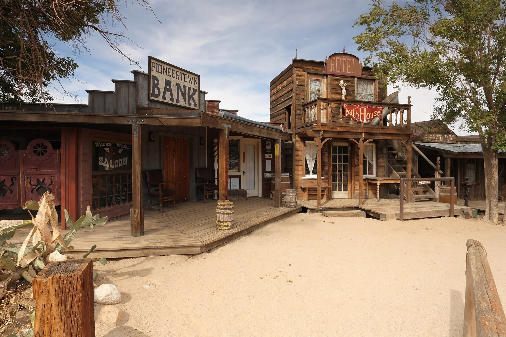
Pioneertown, California: an 1880s movie set built in 1946 that's now a working Old West town. Mane Street, Pappy & Harriet's and how to spend an afternoon, 18 minutes away.
Read →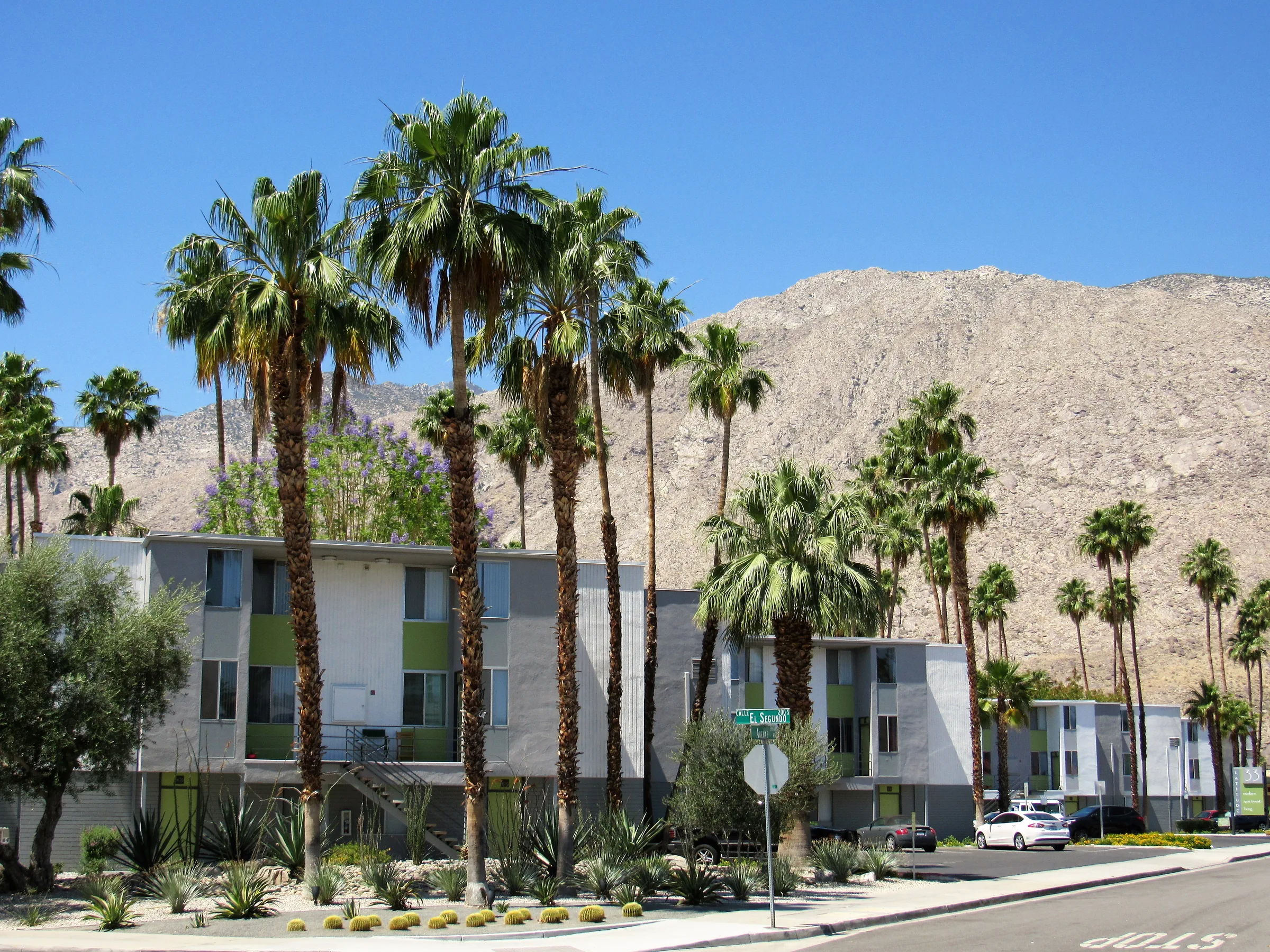
A Palm Springs Day Trip from the High Desert
A Palm Springs day trip from the high desert — the Aerial Tramway, midcentury modern architecture, palm canyons and how to plan around the heat. About 50 minutes away.
Read →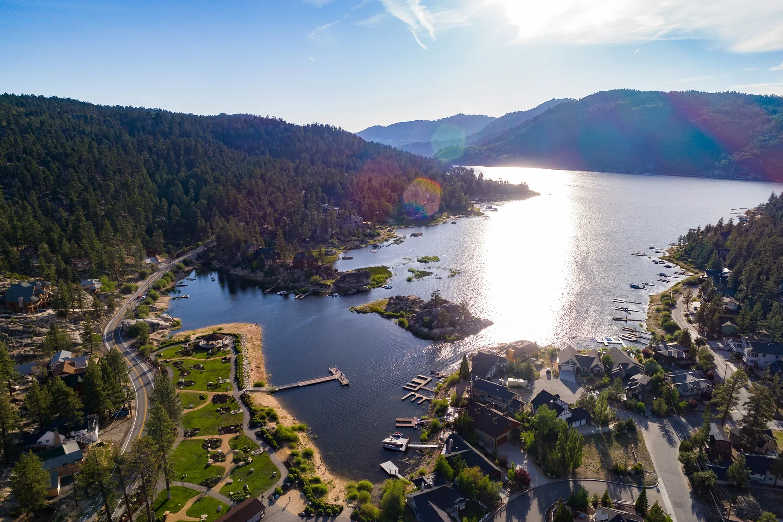
Big Bear & the Mountains: The Alpine Escape
A Big Bear day trip from the high desert — about 90 minutes from cactus to a pine-ringed lake at 6,750 feet. The drive, summer on the water, winter snow, and how to plan it.
Read →