


































































































Getting here
Las Vegas to Joshua Tree
Las Vegas to Stargaze Escape is a drive of roughly 220 to 255 miles, depending on the road you pick. The quick way runs down Interstate 15 to Barstow and across the desert on Highway 247, which reaches the Flamingo Heights part of Yucca Valley, where the house is, before it ends at Highway 62. Two slower ways cross the emptiest part of the Mojave, by Kelso or by Amboy, and reach Highway 62 at the Twentynine Palms end of the Morongo Basin. Here are all three, with the long gaps between gas stations and the summer heat that shape the choice.
Routes from Las Vegas
All three routes leave Las Vegas heading south. The Barstow route comes down Highway 247 and gets to the house first. The two Mojave routes come in on Highway 62, drive through Yucca Valley and turn north on Highway 247. The middle part of the trip is where they split.
- I-15 and Highway 247. About 220 miles from the Strip to the house. Routing estimates run from about four to about four and a half hours without stops. It is interstate as far as Barstow and has the most services.
- I-15 and Kelbaker Road. About 245 miles. You leave the interstate at Baker, cross Mojave National Preserve on two-lane roads and pass through Amboy. Allow five hours or more behind the wheel.
- US-95 and I-40. About 255 miles, south through Searchlight, Nevada, west on I-40 and down through Amboy. Around five and a half hours behind the wheel.
Those distances run from the middle of the Strip to the house, measured with a routing engine. The two Amboy routes reach Yucca Valley on Highway 62 after about 235 and 245 miles, and the house is another 9 miles or so north on Highway 247, about 15 minutes.
If you are flying into Harry Reid International rather than starting from a hotel, add time at the start. The airport's Rent-A-Car Center sits about three miles from the terminals, and you reach it on a shuttle bus. After that the choice mostly comes down to the clock and the season. Arriving after dark, traveling in summer or short on time, take I-15 and Highway 247. With a cool, clear day and daylight to spare, the Kelso route turns the drive into a day out in the desert.
Barstow and Highway 247
From the Strip, I-15 runs south to Primm and the California line, then on through Baker, about 90 miles from Las Vegas, and Barstow, about 150. In Barstow, leave the interstate for Highway 247, signed as Barstow Road. Highway 247 is about 78 miles long and comes in two pieces. Barstow Road runs about 44 miles south to Lucerne Valley, where it crosses Highway 18. From that crossroads it becomes Old Woman Springs Road for the last 34 miles or so, through Johnson Valley, Landers and Flamingo Heights, and ends at Highway 62 in Yucca Valley.
Highway 247 is a two-lane road across open desert, and the communities along it are small and spread out. Fill the tank in Barstow and treat the roughly 70 miles to Flamingo Heights as one stretch. For a night drive this is the route, since it keeps you on an interstate and then a state highway all the way.
Three stops on this route are worth knowing about:
- Calico Ghost Town. A San Bernardino County regional park built around an old mining town, a short detour off I-15 at Ghost Town Road near Yermo, just before Barstow. Check the county's hours before you plan around it.
- The Integratron and Giant Rock. Landers lies on the east side of Highway 247. George Van Tassel's wooden dome, the Integratron, is there, now privately run for sound bath sessions; check its own site for how to book. Our Giant Rock and Landers guide covers both.
- La Copine. The restaurant sits on Old Woman Springs Road in Flamingo Heights, about two minutes from the house. At the time of writing it serves lunch Thursday to Sunday, 11am to 4pm, takes reservations by text and welcomes walk-ins. We wrote about it in where to eat: La Copine.
Kelbaker Road through the Mojave Preserve
This is the scenic choice. Take I-15 to Baker and turn south onto Kelbaker Road, which runs through the middle of Mojave National Preserve. The park service gives the distances from Baker:
- About 16 miles. The cinder cones and lava flows, a volcanic field of some 25,600 acres named a National Natural Landmark in 1973.
- About 34 miles. Kelso Depot, a 1924 railroad station that houses the preserve's visitor center. In the park's update of late September 2026, the indoor area was still closed with no reopening date posted, while the outdoor areas, restrooms, parking and water filling were accessible. Check the park's conditions page before you plan a stop.
- About 42 miles. The turn for Kelso Dunes, then about 3 miles west on a bumpy, potholed road to the trailhead. The dunes rise nearly 700 feet and cover about 45 square miles, and they are one of seven dune fields in North America known to boom, a low rumble you can feel when dry sand slides down a crest. The walk to the top is 3 miles round trip with about 600 feet of climbing, and the park says to allow two to three hours.
- About 50 miles. The Boulders Viewpoint below the Granite Mountains, about 7 miles before I-40.
Kelbaker Road crosses I-40 and keeps going south for about 11 miles to old Route 66. Turn west and drive about 6 miles to Amboy, then take Amboy Road south for about 40 miles into the Twentynine Palms area. Amboy Crater, a 250-foot cinder cone looked after by the Bureau of Land Management, sits a short way off Route 66 near Amboy. Read our Amboy Crater and Route 66 guide before you stop, and our Mojave Preserve and Kelso Dunes guide for more time in the preserve.
Check road conditions before you commit. At the time of writing the park lists its paved roads as open but asks drivers to watch for potholes, narrow shoulders and drop-offs, and it warns of delays of up to an hour at the Kelso railroad crossing. In August 2025 the park approved a three-year project to rebuild South Kelbaker Road and Kelso-Cima Road, so expect work zones. Old Route 66 (the National Trails Highway) rides on timber bridges that flood damage has closed more than once. San Bernardino County shut the stretch between Kelbaker Road and Amboy for a bridge repair in March 2024, and the section east of Kelbaker Road toward Essex has been closed for years after washouts. The Essex stretch does not affect this drive, but check the county's road status before you count on the short run west to Amboy.
US-95, I-40 and Amboy
The third route skips I-15 entirely. Head south out of the Las Vegas Valley on US-95 through Searchlight and Cal-Nev-Ari, cross into California, and meet I-40 west of Needles, about 100 miles from the Strip. Turn west on I-40 for about 55 miles to the Kelbaker Road exit, then follow the same last leg as the Kelso route: south on Kelbaker to Route 66, west to Amboy, and down Amboy Road to Twentynine Palms.
At about 255 miles it is the longest of the three, and it skips the dunes and the depot. It makes the most sense if you are starting from Henderson or Boulder City, or if you want Amboy and its crater without the slower roads through Kelso. The catch is fuel: past Fenner, the stations are very far apart.
Gas and charging gaps
There is no gas or electric charging inside Mojave National Preserve, and its long inclines drain a tank or a battery faster than you might expect. Its list of the nearest stations is the one to plan around:
- Along I-15. Primm and Yates Well in Nevada, then Cima Road and Baker in California.
- Along US-95. Searchlight and Cal-Nev-Ari.
- Along I-40. Needles, Fenner and Ludlow. Needles is east of the US-95 junction, off this route, and Fenner, at exit 107, is the last fuel on the interstate before the Kelbaker Road exit.
- South of I-40. Amboy, with limited hours.
From Baker to Twentynine Palms by way of Kelbaker Road is roughly 115 to 120 miles, and from Fenner to Twentynine Palms is roughly 90, with Roy's in Amboy as the only fuel in between. Roy's runs today as a gas station and souvenir shop, but the park lists its hours as limited, so fill up in Baker or Fenner and treat Amboy as a backup. On the Highway 247 route, fill up in Barstow before the 80-mile run south.
Electric cars have the easiest time on I-15. The park lists charging at Primm and Baker, and both Baker and Barstow have large fast-charging sites at the time of writing. The Kelso and Amboy routes have no charging between I-15 or I-40 and the Morongo Basin, so only take them with a wide margin of range. At the end of the drive, Tesla lists a 16-stall Supercharger on Highway 62 in Yucca Valley, about 15 minutes from the house. Our gas and EV charging guide has the local picture, and a charging app will show what is working on the day.
Heat, storms and the car
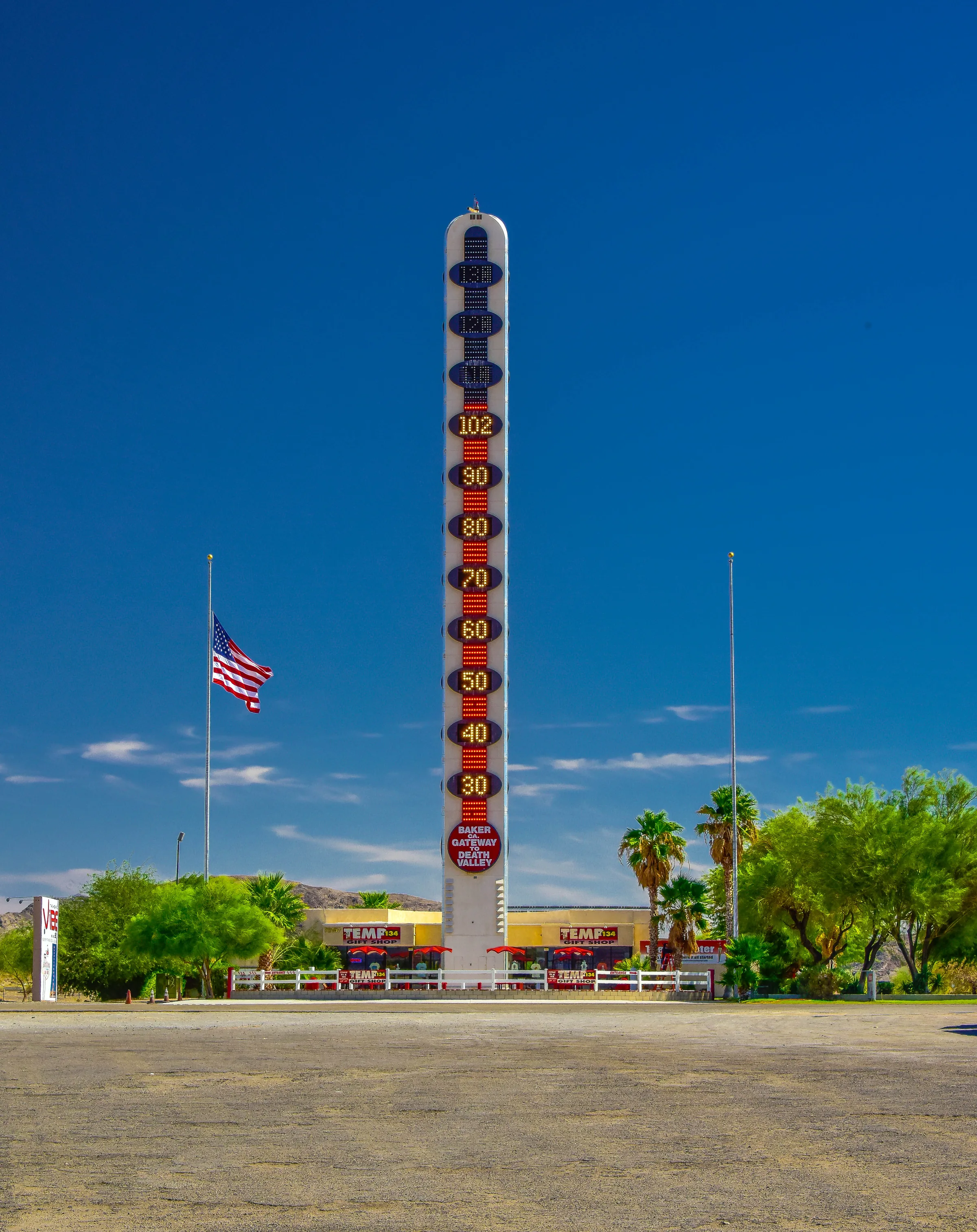
Summer on these roads is serious. The park's weather figures for Zzyzx, near Baker at 930 feet, show average highs of about 103°F in June, 109°F in July and 107°F in August, and the park notes that many summer days are too hot to be outdoors. On the Kelso Dunes it says temperatures can reach 120°F, and it advises against hiking them in summer. The 134-foot thermometer beside I-15 in Baker makes the same point in its own way: its height marks the 134°F reading recorded in Death Valley in July 1913.
For anyone driving through, the park says to carry at least a gallon of water per person per day. Bring a spare tire, a tire inflator and a pressure gauge. Tell someone your route, your destination, your car and its license plate, because cell coverage out there is patchy. In summer, our suggestion is to take I-15 and Highway 247, drive in the morning, and keep the Kelso and Amboy roads for October through April. The Bureau of Land Management also warns that temperatures at Amboy Crater rise quickly by early afternoon.
Weather cuts the other way too. Summer thunderstorms can bring sudden heavy rain, and a July 2021 storm closed Amboy Road for about 36 hours when flooding and wind brought down power poles, so check road status after rain. In winter the higher parts of the preserve can get snow, strong winds blow in fall, late winter and early spring, and the park notes that the sun can set as early as 4:30pm. On a winter day, start early enough to reach Highway 62 before dark.
When to leave Las Vegas
On this drive the day of the week matters more than the hour. Sunday is when southbound I-15 fills with weekend visitors heading home to Southern California, and the long-standing bottleneck sits near Primm, where three southbound lanes used to squeeze to two before the state line. Caltrans lists a part-time lane on the shoulder for about 4.5 miles south of the Nevada border, open from 10am to 8pm on Sundays and Mondays. Those hours are a fair guide to when the backups build, so on a Sunday, leave Las Vegas early in the morning or pick another day.
Brightline West is building a rail line in the I-15 median, with passenger service reported as now expected in late 2029, so shoulder closures and some night work are possible. Look at Caltrans QuickMap for current lane closures before you set off. If you are taking Kelbaker Road, add a buffer for the railroad crossing at Kelso and for road work in the preserve, and plan to be off the two-lane roads by sunset.
Food stops and the last groceries
- Baker. The Mad Greek, a Greek restaurant that has been a stop for drivers on I-15 in Baker since 1988, lists daily hours on its website.
- Yermo. Peggy Sue's 50's Diner, an original 1954 diner near the Calico Mountains, with a five-and-dime store and a pizza parlor on site. Check its hours before you plan lunch around it.
- Amboy. Roy's works today as a gas station and souvenir shop, and its motel rooms are not yet open. Don't count on a meal; on the Kelso and Amboy routes, pack lunch in Las Vegas.
- Twentynine Palms. The restaurant at the 29 Palms Inn, at the Oasis of Mara, lists lunch and dinner Wednesday to Sunday and closes Mondays and Tuesdays at the time of writing.
For groceries, the last big stop depends on the route. On the Kelso and Amboy routes it is the Stater Bros. on Highway 62 in Twentynine Palms, or one of the two Stater Bros. in Yucca Valley, which are on Highway 62 just before the turn north. Highway 247 reaches the house before it reaches Yucca Valley, so if you come that way, stock up in Barstow or Las Vegas before the run, or drive down to Yucca Valley, about 15 minutes, after you check in. Our groceries and supplies guide lists the rest.
Arriving at the house
Coming down Highway 247, you pass La Copine in Flamingo Heights, and the house is about two minutes from it, before the road reaches Highway 62. Use the directions we send before arrival for the final turns.
From Amboy, the road brings you into the east end of the basin through Wonder Valley, the scatter of old jackrabbit homestead cabins east of Twentynine Palms. From Twentynine Palms it is about 22 miles west on Highway 62 to Yucca Valley, where you turn north on Highway 247 (Old Woman Springs Road) and drive about 9 miles, roughly 15 minutes, to Flamingo Heights. On the way you pass the Joshua Tree National Park Visitor Center in Twentynine Palms, which has a water-bottle filling station, and the turn for the park's North Entrance at Utah Trail, with the entrance itself three miles south of the highway. Further west, in the town of Joshua Tree, Park Boulevard leads five miles south to the West Entrance, about 25 minutes from the house. Check-in is self-service from 4pm, and it pays to save the directions to the house on your phone while you still have signal, since coverage fades on all three routes.
Know before you go
- Fastest route. I-15 to Barstow, then Highway 247 south to Flamingo Heights. About 220 miles, roughly four to four and a half hours without stops.
- Scenic route. I-15 to Baker, Kelbaker Road past Kelso, then Amboy and Amboy Road, Highway 62 and Highway 247. About 245 miles; give it a full day.
- Fuel. No gas or charging in Mojave National Preserve. Fill up in Barstow, Baker or Fenner, depending on the route.
- Roads. Check the preserve's road conditions page and Caltrans QuickMap the morning you leave. Kelbaker Road has a railroad crossing with delays of up to an hour and a rebuild project under way.
- Heat. Summer highs on the low desert floor run well above 100°F. Carry at least a gallon of water per person per day.
- Sundays. Southbound I-15 backs up near the state line, heaviest between mid-morning and evening.
When you finally arrive, the stock-tank pool and hot tub are there for the end of a long desert day. Check dates for your trip.
Keep exploring
Los Angeles to Joshua Tree
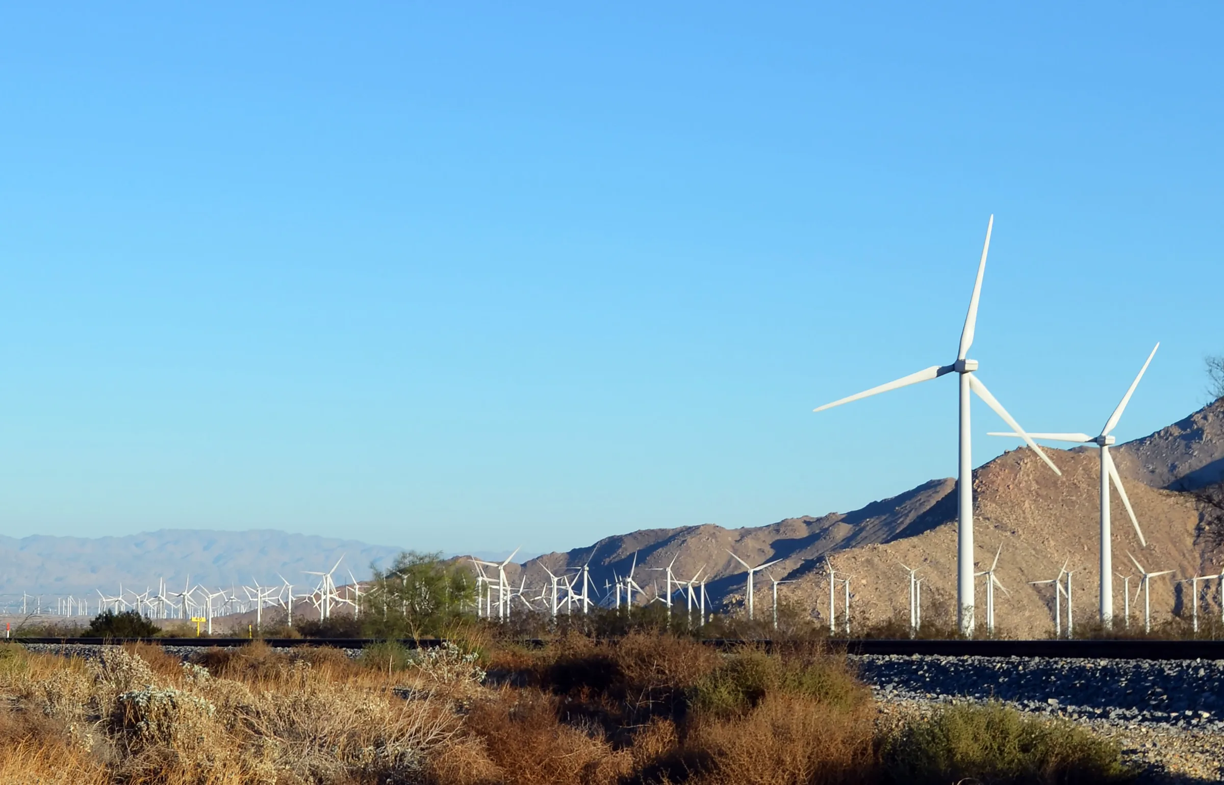
Driving from Los Angeles to Joshua Tree: the I-10 and Highway 62 route, miles and drive time, when to leave, toll lanes, EV charging and stops in Cabazon.
Read →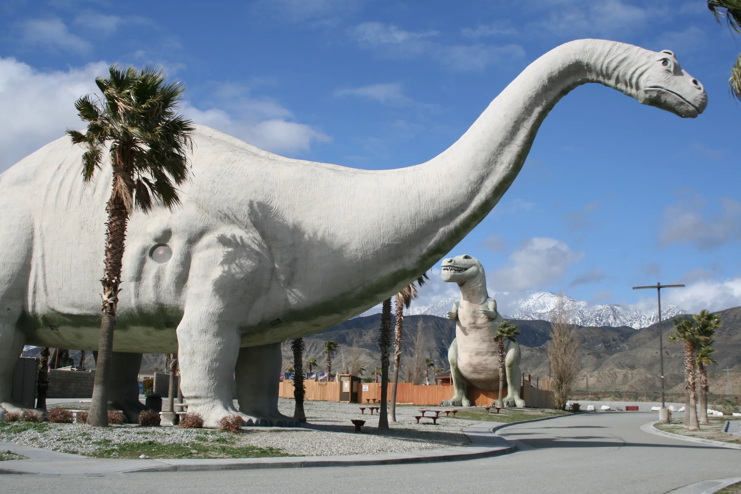
Orange County to Joshua Tree
Driving from Orange County to Joshua Tree: the 91, the 60 and I-10 to Highway 62, miles and drive time, the 91 Express Lanes, charging in Beaumont and stops.
Read →
San Diego to Joshua Tree
Driving from San Diego to Joshua Tree: I-15 and Highway 79, or the desert way through Julian, Anza-Borrego and the Salton Sea. Miles, times, charging and stops.
Read →