


































































































Day trips
Mojave National Preserve & the Kelso Dunes
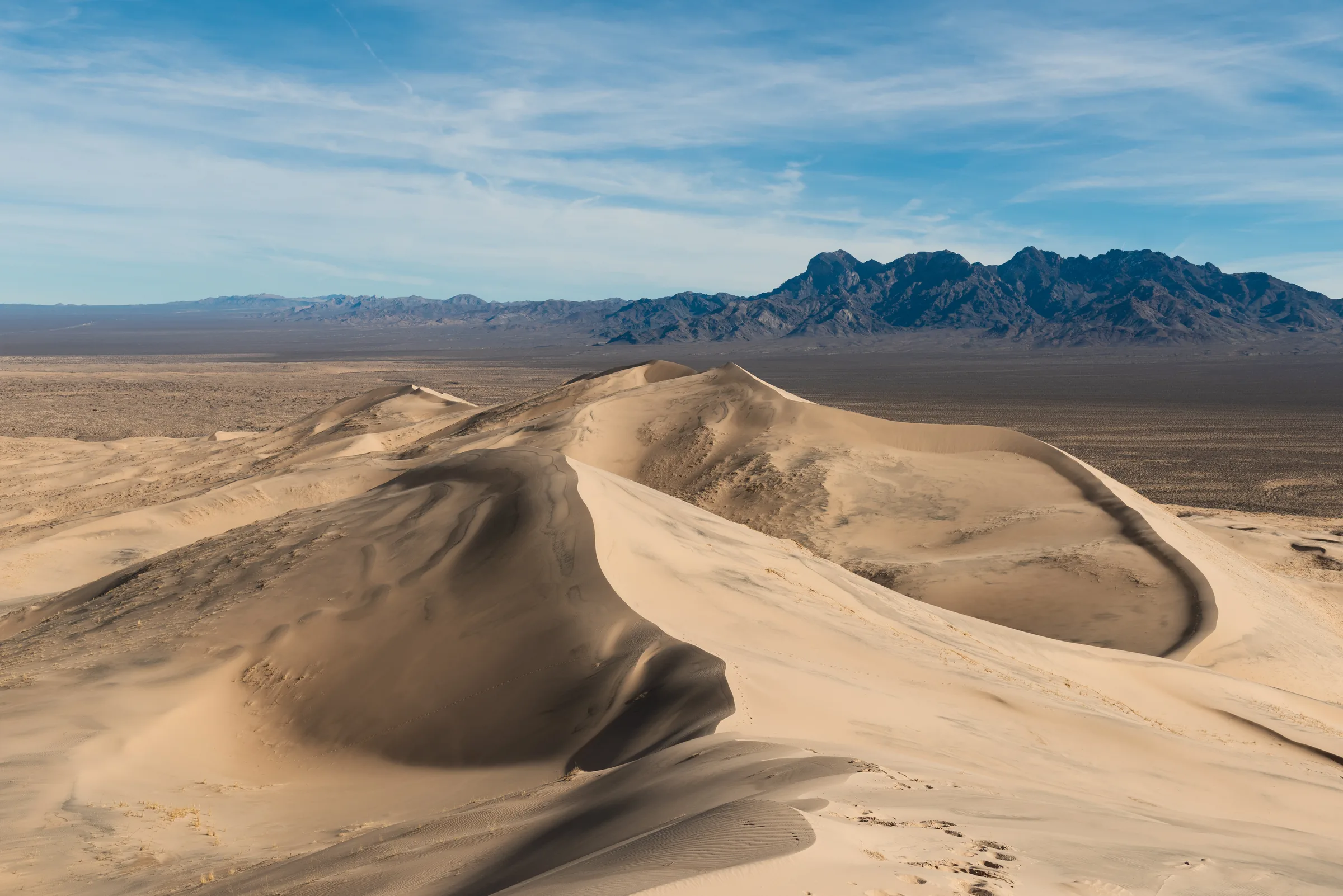
Mojave National Preserve covers 1.6 million acres of open desert between Interstates 15 and 40, and its best-known stop, the Kelso Dunes, rises about 650 feet above the desert floor. From Yucca Valley it's a long day, so allow close to three hours each way. There's no entrance fee, and the preserve allows leashed dogs on its trails, which Joshua Tree National Park does not.
The Kelso Dunes
The dunes cover about 45 square miles. The sand came from the Mojave River sink and the Soda Lake basin, and the dunes built up over roughly the last 25,000 years. They're one of only seven dune fields in North America known to boom: when enough sand slides down a steep face, it can set off a deep, low rumble you can feel. The park service's tip is to get a big group on the crest at the same time and push a lot of sand down at once.
Climbing the dunes
The route from the trailhead is about 3 miles round trip with roughly 600 feet of climbing, and the park service rates it strenuous. Most people take two to three hours, and walking in soft sand is slower than the distance suggests. The park service notes that summer temperatures here can reach 120°F, so come between late fall and spring and start early in the day.
The trailhead is at the end of Kelso Dunes Road, about 3 miles of graded dirt that the park service describes as bumpy and potholed, so take it slowly. The park's conditions page has listed it as rough washboard with potholes and suited to high-clearance vehicles, so check it before you go. Camping at the trailhead isn't allowed; the preserve only permits it at established sites.
Kelso Depot
Roughly 7 to 8 miles north of the dunes turnoff, Kelso Depot was built for the Union Pacific in the Mission Revival style and opened in 1924, with rooms for railroad workers, a passenger waiting room and a lunch counter called the Beanery that served until the mid-1980s. Passenger service ended in 1964, and after a restoration the depot became the preserve's main visitor center in 2005.
At last check the indoor visitor center was closed for renovation. The outdoor areas, restrooms, parking and a water filling station were open, and the park notes Wi-Fi calling in the parking lot. Its road alerts also warn of delays of up to an hour at the Kelso railroad crossing on Kelbaker Road.
More of the preserve
Cinder cones. Farther north on Kelbaker Road, about 16 miles from Baker, a 25,600-acre field of cinder cones and lava flows was named a National Natural Landmark in 1973. Its volcanic features range from about 10,000 to 7 million years old, and the park service notes yellow flowers along Kelbaker Road in April and May.
Cima Dome. Northeast of Kelso, Cima Dome is known for its Joshua tree forest. In August 2020 the lightning-sparked Dome Fire burned 43,273 acres there and killed an estimated 1.3 million Joshua trees, about a quarter of the forest, and the park service now runs a restoration program for it. Joshua trees grow slowly, roughly half an inch to 3 inches a year, so recovery takes a long time; there's more in our journal post on the story of the Joshua tree.
Hole-in-the-Wall. On the preserve's east side, the Hole-in-the-Wall Information Center was open with water at last check, as were the Hole-in-the-Wall and Mid Hills campgrounds. Essex Road, one way in, has had debris and washouts.
Getting there
The most direct way from the house is east on Highway 62 to Twentynine Palms, north on Amboy Road to Route 66 at Amboy, east on Route 66 to Kelbaker Road, then north across Interstate 40. Kelso Dunes Road turns off to the west roughly 10 miles past the interstate (Kelso Depot is about 18 miles north of I-40). Gas isn't sold anywhere in the preserve, and none is sold where Kelbaker Road meets I-40, so fill up in Twentynine Palms; Roy's in Amboy is the last gas on this route. Route 66 near Amboy has had bridge closures, with a replacement project scheduled into 2027. If the road east of Amboy is closed, the usual alternative is to go west on Route 66 to Ludlow and back east on I-40 to Kelbaker Road, which adds a good many miles.
Bringing your dog
The preserve allows pets on its trails on a leash no longer than 6 feet, though not inside buildings. The park service warns that cars heat up fast even on cool days, so never leave a dog in the car, and it lists cactus spines, rattlesnakes, scorpions, coyotes and mountain lions as risks to pets. The house is dog-friendly, so your dog can come along for the whole trip.
Know before you go
- No entrance fee. The park service says no pass is needed.
- No gas. None in the preserve. The nearest is in Ludlow and Fenner on I-40 and Baker on I-15.
- Little signal. Cell service is unreliable or absent in most of the preserve, a bit better near the interstates. Download offline maps.
- Food and water. Bring everything for the day. The depot has a water filling station, but its indoor visitor center was closed for renovation at last check.
- Heat. Skip the dune climb in summer.
- Roads. The paved roads are open but rough, with potholes and narrow shoulders. Check the preserve's alerts page and San Bernardino County road status before you leave.
- Tell someone. Share your route and when you expect to be back.
On the way in you pass Amboy Crater, a good stop if you have the legs for two climbs. Read our desert safety notes first, then check dates and plan the drive home to end in the hot tub.
Keep exploring
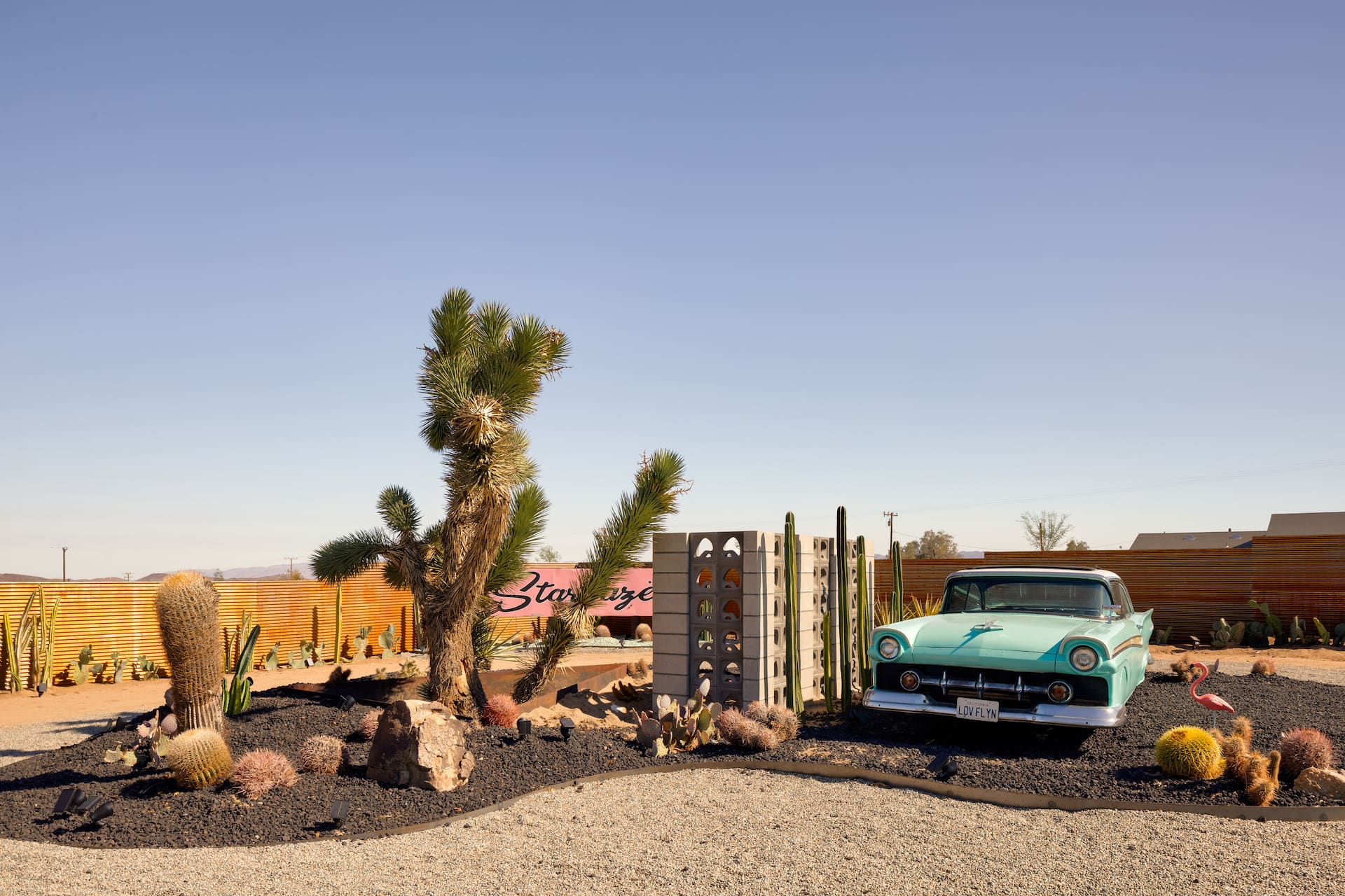
Coachella & Stagecoach: Basing Yourself in the High Desert
Staying up in the high desert for Coachella or Stagecoach — a calmer, often cheaper base about an hour from the Indio polo fields. The trade-offs, the traffic and how to plan.
Read →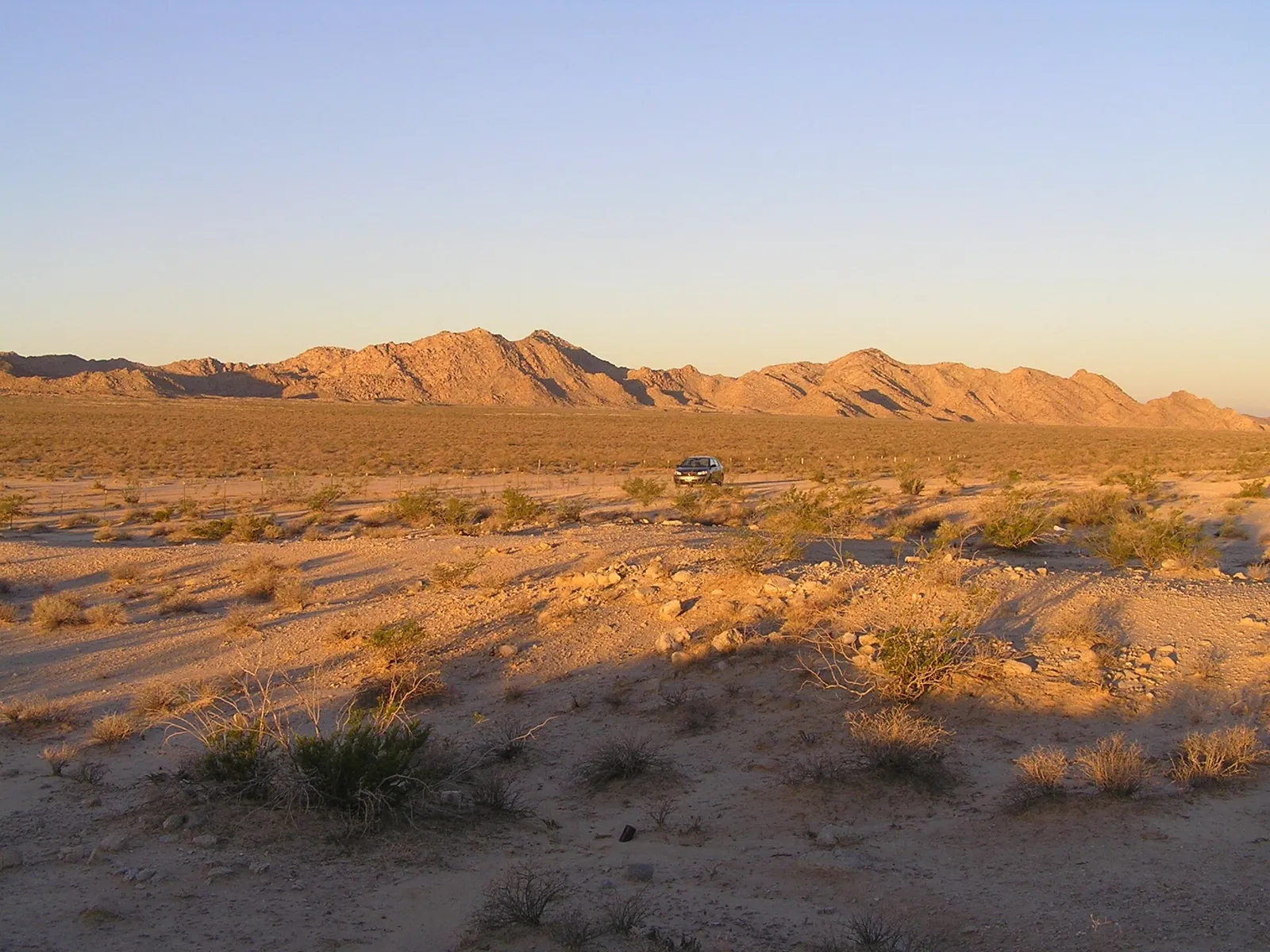
Three Classic Desert Road Trips
Three classic road trips from the high desert — Route 66 and Roy's Café at Amboy, the surreal Salton Sea and Salvation Mountain, and an easy Pioneertown loop. Distances and desert-driving tips.
Read →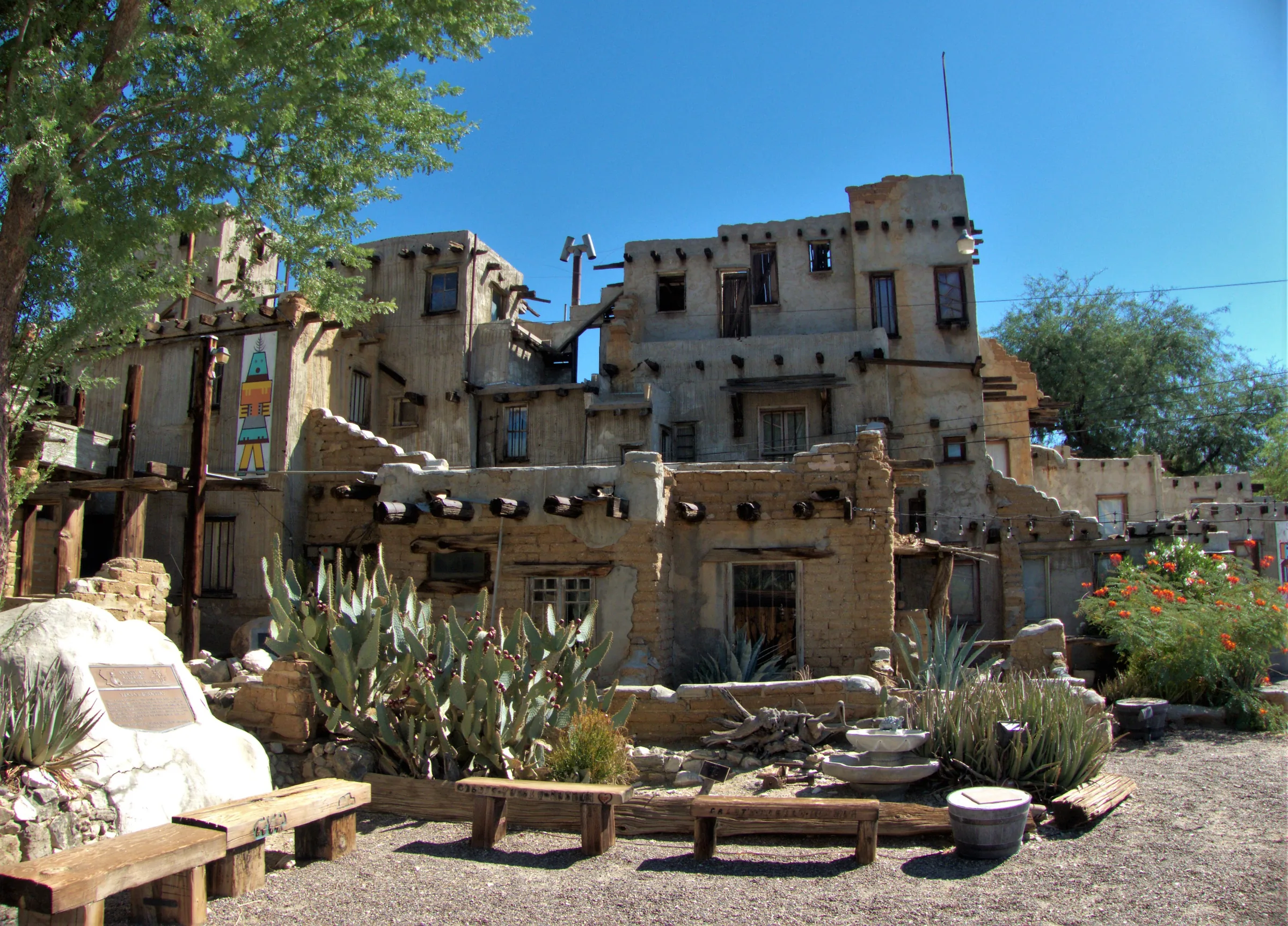
Cabot's Pueblo Museum, Desert Hot Springs
Cabot Yerxa's hand-built, Hopi-inspired pueblo in Desert Hot Springs: 35 rooms of reclaimed materials, guided tours, 2026 hours and prices, and nearby stops.
Read →