


































































































Nearby
A Short History of the High Desert
The stretch of high desert around Yucca Valley and Joshua Tree can look empty at a glance, but people have lived on this land for thousands of years, and most of the odd landmarks you pass on Highway 62 have a story behind them. Homesteaders, ranchers, movie crews, a UFO believer with a wooden dome, and a wave of artists all left a mark here within the last century or so. This is a short walk through that history, from the first peoples to the making of the national park, so the country around the house reads a little differently on your drives. Stargaze Escape sits right in the middle of it, in Yucca Valley.
The first peoples
Long before any of the towns on the map, this was the home of four principal Native groups: the Serrano (who call themselves Yuhaviatam or Maara'yam), the Cahuilla, the Chemehuevi (a Southern Paiute people), and the Mojave. Native peoples hunted, gathered, and lived across the high desert for something on the order of 5,000 to 10,000 years before Euro-American settlement arrived. That is a span most visitors never think about while driving between trailheads, and it is worth holding in mind as the real backbone of the region's history.
Water shaped where people lived. These groups settled around desert springs and oases, and they used the native plants for baskets, bows, food, and medicine. The clearest example is the Oasis of Mara, at what is now Twentynine Palms. The Serrano settled there first, and the Chemehuevi also came to live there beginning in the 1860s. The federally recognized Twenty-Nine Palms Band of Mission Indians descends from the Serrano and Chemehuevi people of this area, so this history is still alive today.
It helps to picture the land they knew. Yucca Valley and the park sit along the boundary of two deserts: the higher, cooler Mojave Desert to the west and north, where the Joshua trees and yuccas grow, and the lower, hotter Colorado Desert to the south and east, with its ocotillo and cholla. That range of elevation and habitat, along with the scattered springs, is what made the country livable, and it is part of why the plants people relied on differed from one stretch of the region to another. The desert was never as empty as it looks from a car window; it was a worked and known landscape with water at its center.
The Mojave sat a little apart from the others. The Mojave ('Aha Makhav) lived along the Colorado River to the east and traveled through the region, and unlike the more decentralized Serrano, Cahuilla, and Chemehuevi, they organized as a single people with claimed territory. You can still walk the Oasis of Mara today on a short paved loop at park headquarters in Twentynine Palms, and it is the easiest place to stand where that first settlement pattern began. The walk is level and about half a mile, with benches and interpretive panels, so it is a gentle first stop even if you are not up for a hike. Part of the trail has been closed after flood damage, so check the park's alerts before you go. If you want the details of that walk and what to look for, our guide to the Oasis of Mara in Twentynine Palms lays it out.
How the boulders formed
The people came late to a landscape that was already old almost past imagining. The stacked rock piles that define the park, the ones you photograph without thinking, began as molten magma that pushed up toward the surface and cooled while it was still miles underground, more than 100 million years ago. That rock is monzogranite, a light-colored granite that geologists here call the White Tank monzogranite, and every rounded boulder you see is a piece of the same buried mass. The people who settled around the springs were walking on ground far older than any story anyone can tell about them.
The rounding happened in stages. While the granite was still underground, it cracked into three sets of rectangular joints, one horizontal and two vertical, splitting the rock into blocks. In a wetter climate than today's, groundwater seeped along those cracks and slowly weathered the mineral grains into soft clay, rounding the sharp corners of each block the way water rounds the corners of an ice cube. When the climate turned dry, flash floods stripped away the softened material and left the hard, rounded cores behind, and those cores settled one on top of another into the piles you see now. It is a slow, plain process, and it accounts for almost every strange shape in the park.
Once you know that, the named formations read as chapters of the same story. Jumbo Rocks, the Wonderland of Rocks (a maze of granite domes that rise up to about 300 feet), and Split Rock all formed this way, and Skull Rock, Arch Rock, and Cap Rock are single boulders shaped by the same weathering. Skull Rock's two eye sockets, right beside Park Boulevard near Jumbo Rocks Campground, were hollowed out by water pooling and wearing away the granite over a very long stretch of time. All that rock is also why Joshua Tree became a world-famous climbing area, with more than 8,000 routes and over 2,000 boulder problems on the same stone. If the formations are the part that grabs you, our companion piece on the rock formations of Joshua Tree goes further into how they took shape. The same granite turns up at the house in a smaller key: the gas fire pit is ringed by natural boulders, and the dining table is built around one. Nobody made those rocks. They are the local stone, left where it was found.
Ranchers, miners, and Keys Ranch
When Euro-American settlers came, they came mainly for two things: cattle and gold. Ranching and small-scale gold mining were the main economic activities in the Joshua Tree area before the land became protected, and neither was easy in a place with so little water. The Desert Queen Mine, worked from the 1890s and tied to the McHaney cattle operation and a prospector named Frank James, was one of many gold ventures scattered through the rocks. Most of them produced more hardship than fortune, and the desert reclaimed the rest.
The mines left more than stories; some left ruins you can still walk to. The Lost Horse Mine, reached on a moderate trail, was one of the better-preserved of these gold operations, and its stamp mill still stands at the end of a roughly four-mile round-trip hike (a longer loop of about 6.8 miles takes in more of the district). Farther south, near Cottonwood, the Mastodon Mine sits along a loop of about three miles that also climbs to a small peak with views toward the Salton Sea. These are moderate walks, so check the current trail conditions and your own water supply before you set out, but they are the closest thing the park has to standing inside the mining era rather than reading about it.
The person who tied all of that together into one long life was William F. "Bill" Keys, born in 1879 and died in 1969. He became superintendent of the Desert Queen Mine around 1910, and he acquired the mine and mill site in lieu of back wages sometime in the mid-to-late 1910s (sources put the exact year around 1915 to 1917, so treat it as roughly then). From there he homesteaded the Desert Queen Ranch, and through a run of successive claims he built it up to something like 880 acres. He raised a family there, ran cattle, worked mines, and operated a stamp mill in what is now the middle of the national park.
Keys had a hard streak of frontier history in him. In 1943 he shot and killed a neighbor named Worth Bagley in a dispute over a road, served prison time, and was later paroled and then pardoned, helped along by the mystery writer Erle Stanley Gardner. He lived at the ranch until his death in 1969. The National Park Service acquired the ranch in 1970, began running tours in 1972, and the Keys Ranch Historic District was listed on the National Register of Historic Places in 1975. The ranch buildings, the mill, and the family's collected equipment still stand out there. Tours are ranger-led and seasonal and usually need tickets, so check the park's current schedule before you plan around one; our Keys Ranch history tour guide covers how the visit works.
The jackrabbit homesteads
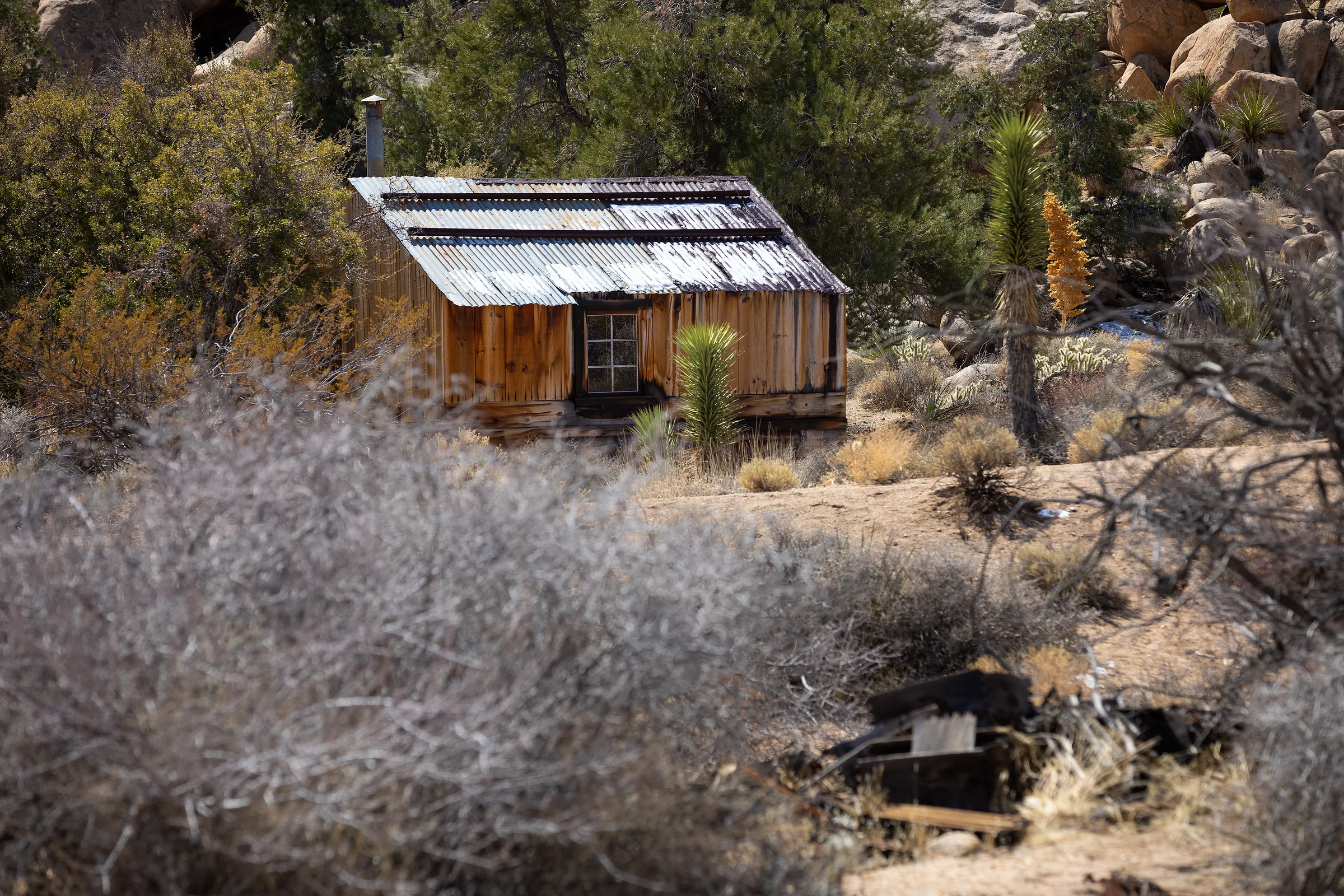
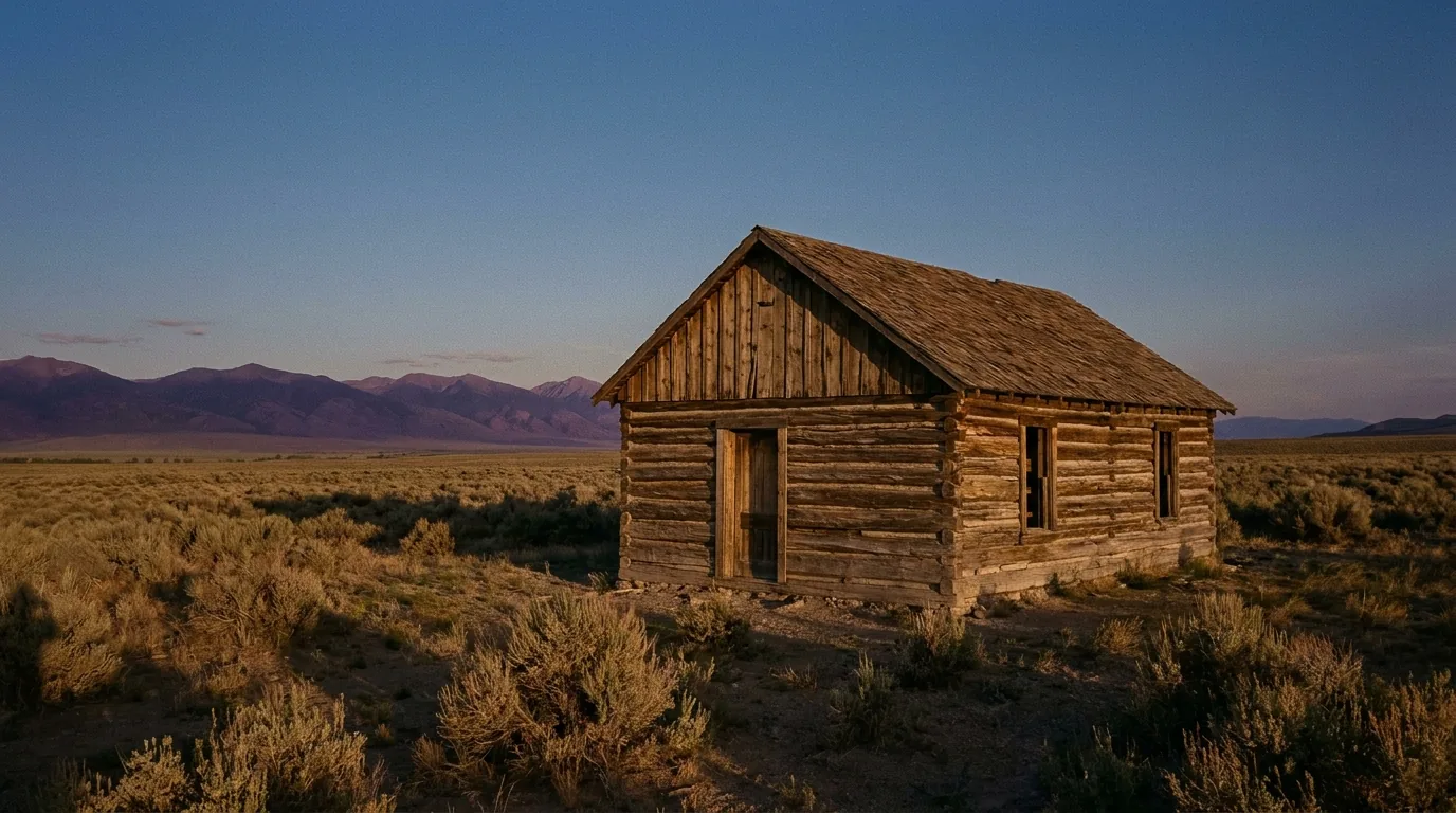
Drive the back roads east of the towns and you will start noticing tiny cabins, some tidy and lived-in, many weathered gray or falling in on themselves. Those are the jackrabbit homesteads, and they come from a single piece of law. The Small Tract Act of 1938, also called the Izac Five-Acre Tract Law, let the federal government lease or sell small parcels of otherwise "useless" public desert land to ordinary citizens for residential, recreational, health, or business use. The typical parcel was five acres, roughly 660 feet by 330 feet.
The catch was that you had to "improve" your five acres to gain title. In practice that meant building a small cabin, and often digging a well, usually within about three years. A 1955 rule required a structure of at least around 400 square feet. Those cabins earned the nicknames jackrabbit homesteads and baby homesteads because they were so small and so scattered across the open flats. The first applications came in 1940, but the real boom ran through the 1950s and 1960s, filling Wonder Valley, east of Twentynine Palms, and the broader Morongo Basin with these cabins. Some were true homes, some were weekend places, and some were the health or desert-air retreats the law had in mind; the range of uses is part of why they are so different from one another today.
The program did not last forever. The Small Tract Act was repealed on October 21, 1976, by the Federal Land Policy and Management Act. What it left behind is one of the defining looks of the modern high desert: mile after mile of five-acre-lot cabins in various states of repair, some restored as rentals or studios, others left to the sun. A number of them now serve as artists' studios, which is part of how the homestead grid and the art scene grew up together. Yucca Valley itself grew during this same era, which is part of why the house sits where it does. If the homestead cabins catch your eye, the story is worth reading before you go looking; see our guide to the homesteads of Wonder Valley.
Pioneertown and the movie business
Up in the hills above Yucca Valley is a place built as a live-in movie set in 1946 that people still live and work in today. Pioneertown was built beginning in 1946 as a live-in Old West movie set, with functioning buildings that doubled as film facades and as real homes and businesses. The idea was that a cowboy could ride down the main street for the cameras in the morning and the same buildings could house a cafe, a shop, or a family the rest of the time.
It was organized by a group of Hollywood investors. The actor Dick Curtis was a central founder, and Roy Rogers, along with Dale Evans, was among the well-known backers. The musical group the Sons of the Pioneers inspired the town's name. Popular histories say there were around 17 investors putting in about $500 each, with names like Russell Hayden and Bud Abbott mentioned, but that roster comes from tourism accounts and varies by source, so hold those specifics loosely. Gene Autry is often linked to the town, and the reliable connection is that he filmed there, in "The Gene Autry Show," rather than being confirmed as a founding investor.
The cameras got plenty of use. More than 50 films and TV shows were shot at Pioneertown over the years, including "The Cisco Kid" and "Judge Roy Bean." Today the main draw on Mane Street is Pappy & Harriet's Pioneertown Palace, a western restaurant and a nationally known live-music stage, along with the restored Red Dog Saloon, which dates to 1946 and reopened in 2020. If you make an evening of it, the wider area has grown a small dining scene worth planning around, though many of the best spots keep short or seasonal hours, so check ahead before you drive up. Hours at Pappy & Harriet's and the saloon change too, so confirm current times. For a full walk down Mane Street and the surrounding sights, read our guide to Pioneertown before you head up the hill.
George Van Tassel and the Integratron
North of the towns, out in Landers and about 20 miles from the national park, stands a white wooden dome that draws visitors from around the world. The Integratron is a 38-foot-high, 55-foot-diameter all-wood domed structure, and it was the life's work of George Van Tassel, an aeronautical engineer who became a UFO contactee, born in 1910 and died in 1978. He said the building was designed as an electrostatic machine for "rejuvenation" and time travel, based on the Tabernacle of Moses, the ideas of Nikola Tesla, and instructions he claimed to have received from extraterrestrials.
However you take that origin story, the craftsmanship is real. Van Tassel worked on the Integratron for roughly 18 years, with construction generally dated to the late 1950s. He built it without nails, using wooden dowels and a concrete keystone ring, and it was still unfinished when he died in 1978. The specific milestone years differ from one source to another, so it is fair to describe it simply as a project built over about 18 years across the late 1950s into the 1970s rather than pinning it to one date.
Van Tassel was tied to the wider lore of the area, including nearby Giant Rock, a huge freestanding boulder that hosted UFO conventions in his day. The Integratron is now privately owned and operates for acoustic "sound bath" sessions inside the dome. Those sell out and run on set schedules, so you book ahead and confirm details rather than dropping in; check current availability before you count on it. Our guide to Giant Rock and the Landers backcountry puts the whole strange corner of the map in context.
From monument to national park
The park you drive into today came out of a long conservation fight. Joshua Tree was first protected as Joshua Tree National Monument by President Franklin D. Roosevelt on August 10, 1936, after a campaign led by a Pasadena conservationist named Minerva Hoyt, who worked to keep the desert plants from being dug up and carted off to city gardens. The original monument covered roughly 825,000 acres.
The status changed decades later. Joshua Tree National Monument was redesignated Joshua Tree National Park on October 31, 1994, under the California Desert Protection Act, which also expanded its boundaries. The same act created Death Valley National Park and strengthened protection for the Mojave. The park today is often given as around 790,000 acres or more, and the acreage figures shift with boundary adjustments, including a later addition, so treat any exact number as approximate and check the current one with the park service.
Because the park grew out of that long fight, it is worth knowing how it works today before you drive in. Joshua Tree has three entrances: the busy West Entrance at the town of Joshua Tree, about five miles south of Highway 62; the North Entrance at Twentynine Palms; and the South Entrance near Cottonwood, off Interstate 10 on the Palm Springs side. From the house, the west entrance is the closest, roughly a 25-minute drive. There is no timed-entry ticket or reservation to get in, and the gates stay open 24 hours a day, year round, so a pre-dawn drive or an after-dark stargazing run is easy to plan. Expect to pay around $30 for a seven-day vehicle pass, though park fees are revised from time to time, so check the current amount with the park service before you go. One thing that catches first-timers out: there is no gas, no food, and no drinking water inside the park, so fuel up in Yucca Valley or one of the other gateway towns and bring plenty of water, a common guideline being about a gallon per person per day. Our sibling piece on what to know before you visit Joshua Tree runs through the rest.
A more recent milestone matters to anyone who comes here for the sky. Joshua Tree was designated an International Dark Sky Park in 2017, at the Silver Tier level, which recognizes excellent dark skies that still catch a little light-dome glow from distant cities. That designation is a big part of why people drive out to sit under the stars now, and it is a reminder that the region's history is still being written. From the gas fire pit at the house, ringed by natural boulders, or from the car bed with its custom stargazing roof pulled back, you are looking up at the same protected sky.
The high desert art scene
By the late twentieth century, the space and light and cheap land that drew homesteaders started drawing artists too. The most important figure is Noah Purifoy, an assemblage artist who lived from 1917 to 2004 and who had co-founded the Watts Towers Arts Center in Los Angeles. Purifoy moved to the high desert and, between 1989 and 2004, created the Noah Purifoy Outdoor Desert Art Museum of Assemblage Sculpture in Joshua Tree: more than 100 large sculptures built from found and junk materials, spread across about 10 acres of open desert. He formed the Noah Purifoy Foundation in 1998, and it maintains the site, which stays free and open to the public.
Purifoy's work helped seed a broader contemporary art culture out here. High Desert Test Sites, an experimental, site-specific art organization and event around Joshua Tree and the Morongo Basin, was co-founded by the artist Andrea Zittel with collaborators in the early 2000s, commonly dated to 2002, and it was influenced in part by Purifoy's desert work. Between the sculpture museum, the galleries in town, and the studios tucked into old homestead cabins, the area now supports a real creative community that grew straight out of its low rents and big horizons. A slow afternoon of gallery-hopping through Joshua Tree and Yucca Valley is one of the easiest ways to feel that side of the place.
The Purifoy site is one of the most rewarding stops in the whole region, and because it is outdoors and free, it fits any budget and most schedules. Wear closed shoes and give yourself time to wander the full 10 acres. Our Noah Purifoy art museum guide covers what to expect and how to visit respectfully.
Music in the desert
The desert has a musical history that runs deeper than most visitors realize, and some of it is tender and strange. The country-rock pioneer Gram Parsons, who played with the Byrds and the Flying Burrito Brothers, died at age 26 in Room 8 of the Joshua Tree Inn on September 19, 1973, from an overdose of morphine and alcohol. He had loved this landscape and spent time out among the rocks. After his death, his road manager, Phil Kaufman, and a friend took his body from Los Angeles International Airport, drove it back to Joshua Tree, and attempted to cremate it by burning the coffin at Cap Rock. The partially cremated remains were found by authorities in late September 1973. Cap Rock, a roadside formation in the park, remains an informal pilgrimage site for fans, who leave small tributes there.
The most famous musical connection to the name is also the most misunderstood. U2 released their album "The Joshua Tree" in March 1987, with desert imagery photographed by Anton Corbijn, including wide panoramas shot around Zabriskie Point in the Death Valley area. Here is the part people get wrong: the single lone tree that became the album's namesake image was not in Joshua Tree National Park at all. It stood in the Mojave Desert near Darwin, California, alongside State Route 190 near the edge of Death Valley, roughly 200 or more miles north of the park. That tree fell around 2000, and its remains and a fan memorial still mark the spot. So the album is named for the species, not for the park.
Live music is still central to a weekend out here, and Pappy & Harriet's in Pioneertown is where much of it happens, on a stage that draws surprisingly big names to a small room. A night out there is one of the easiest ways to feel the town's movie-set past and its music present at once; read a night at Pappy and Harriet's for how to make the most of it.
How the past still shows around you
Once you know these stories, the drive between the house and the park stops looking like empty scenery. The names on the map carry the history. Twentynine Palms points back to the Oasis of Mara and the first peoples. The five-acre grid of Wonder Valley is the Small Tract Act written across the land. Pioneertown is a 1946 film idea that became a real town. The white dome in Landers is one man's 18-year project. And the park itself is Minerva Hoyt's campaign, made permanent.
The house fits into the same century of desert history in small, plain ways. Yucca Valley grew during the homestead boom, and the property sits on a fully fenced lot at the high-desert elevation of roughly 3,300 feet, which is part of why the nights cool off the way they do. There are a few mid-century touches you can enjoy without any invented backstory: a restored 1950s car parked on the gravel, converted into an open-air bed by Emerick's Ironworks, and a vintage painted "Endless Summer" metal sign over the stock-tank pool. These are restored found objects and real fabrication, nothing more dressed up than that.
One review sums up the look in three words: "photo-worthy spots everywhere."
Mostly, though, the past shows up as context for a good trip. You swim in the stock-tank pool and hot tub, cook in the kitchen, and drive out each day into a landscape that has been lived on, worked, filmed, and protected in turn. The house is where you sleep and swim and cook between long drives out into all that history. You can get a fuller sense of the property itself on the house page.
Where to see the history yourself
If you want to turn this reading into an itinerary, the high desert makes it easy, because most of these places are within a short drive of Yucca Valley. A few worth building a day or two around:
- Keys Ranch. Take a ranger-led tour of Bill Keys's Desert Queen Ranch inside the park; tickets and seasonal scheduling apply, so confirm current dates with the park service first.
- The Oasis of Mara. Walk the short paved loop at park headquarters in Twentynine Palms, where the Serrano and Chemehuevi first settled around the water.
- The old mine trails. Hike out to the Lost Horse Mine stamp mill or the Mastodon Mine to stand among the ruins of the gold era; both are moderate, so carry water and check conditions.
- Pioneertown. Stroll Mane Street, look at the 1946 film facades, and time a night at Pappy & Harriet's if there is a show.
- The Integratron. Drive out to Landers for a look at Van Tassel's dome, and book a sound-bath session ahead if you want to go inside; read the Integratron sound bath first.
- Noah Purifoy's outdoor museum. Spend an hour among the found-material sculptures on the free, open-to-the-public site in Joshua Tree.
Because hours, tour dates, fees, and open-or-closed status change often out here, check each place's own website or the park's current information before you go, rather than relying on a fixed schedule. When you have a night or two picked out for the history run, reserve the house so you have a base close to all of it. You can book your dates at Stargaze Escape and start with the Keys Ranch tour, which fills up first.